Chattahoochee County, also known as Cusseta-Chattahoochee County, is a county located on the western border in central Georgia. As of the 2020 census, the population was 9,565. The county seat is Cusseta, with which the county shares a consolidated city-county government. The city of Cusseta remains a geographically distinct municipality within Chattahoochee County. The county was created on February 13, 1854.
Chattahoochee County is included in the Columbus, GA-AL Metropolitan Statistical Area.
| Name: | Chattahoochee County |
|---|---|
| FIPS code: | 13-053 |
| State: | Georgia |
| Founded: | 1854 |
| Named for: | Chattahoochee River |
| Seat: | Cusseta |
| Largest city: | Cusseta |
| Total Area: | 251 sq mi (650 km²) |
| Land Area: | 249 sq mi (640 km²) |
| Total Population: | 9,565 |
| Population Density: | 38/sq mi (15/km²) |
| Time zone: | UTC−5 (Eastern) |
| Summer Time Zone (DST): | UTC−4 (EDT) |
| Website: | www.ugoccc.com |
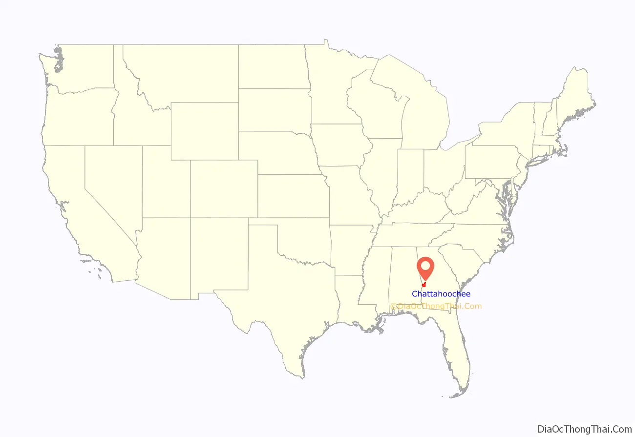
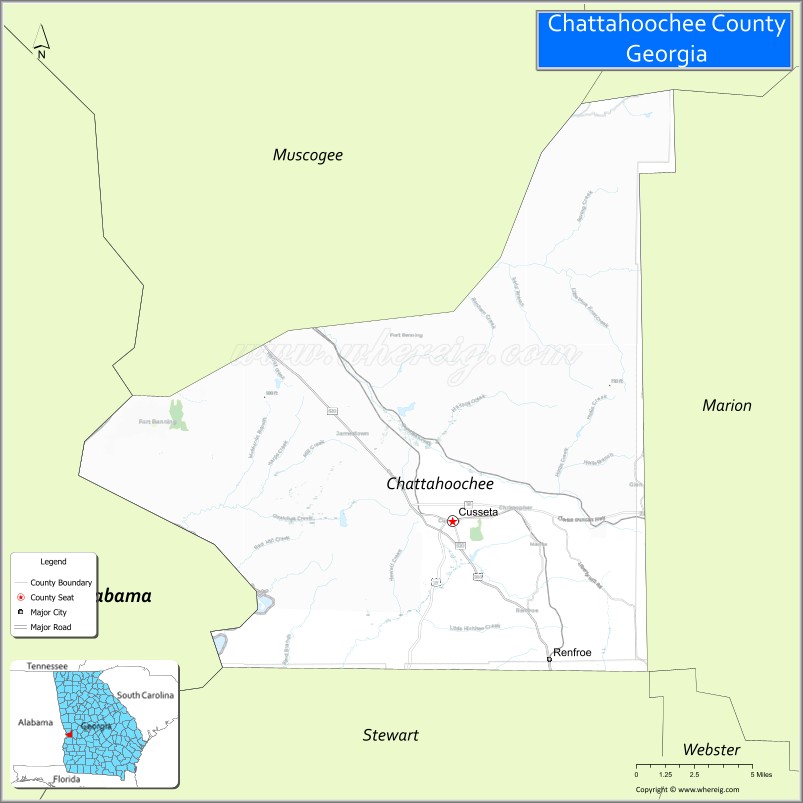
Chattahoochee County location map. Where is Chattahoochee County?
History
This area was occupied by the historic Muscogee people (also known as the Creek) at the time of European encounter. They had a large confederacy in the Southeast. They were among the Five Civilized Tribes who were forcibly removed to Indian Territory in the 1830s during the administration of President Andrew Jackson. European Americans moved into their former areas, in some cases acquiring land through lotteries run by the state.
The Georgia General Assembly created Chattahoochee County on February 13, 1854, from portions of Muscogee and Marion counties. It is named for the Chattahoochee River that forms its western boundary. The county seat was named Cusseta to commemorate the historic Creek Indian town of that name that long existed nearby. In 2004–2005, the U.S. Census Bureau reported a 6.2% population decline, making this county at the top of those nationally with shrinking populations.
The original courthouse, built in 1854 by enslaved African Americans, is preserved at the tourist attraction of Westville in Columbus, Georgia.
Since 1918, most of the land in Chattahoochee County has been part of the Fort Benning military reservation.
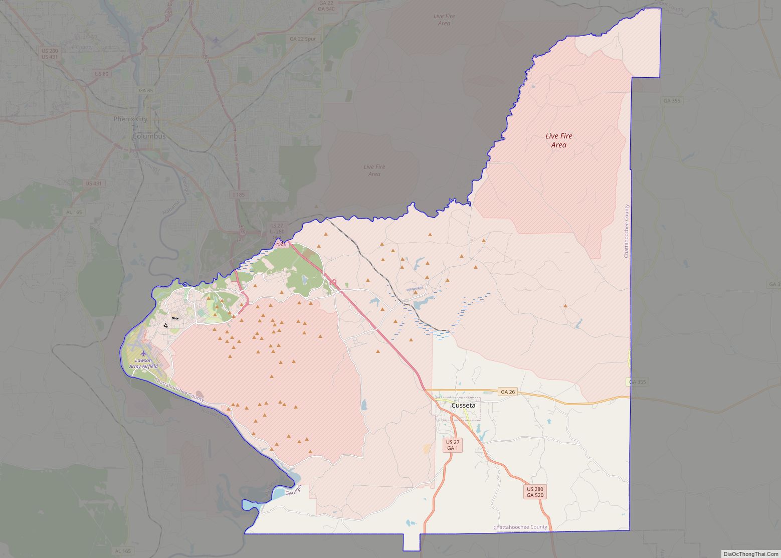
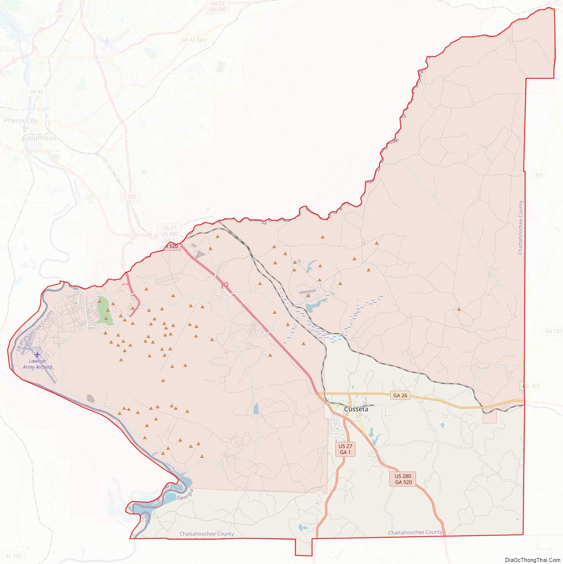
Chattahoochee County Road Map
Geography
According to the U.S. Census Bureau, the county has a total area of 251 square miles (650 km), of which 249 square miles (640 km) is land and 2.4 square miles (6.2 km) (1.0%) is water.
The vast majority of Chattahoochee County is located in the Middle Chattahoochee River-Walter F. George Lake subbasin of the ACF River Basin (Apalachicola-Chattahoochee-Flint River Basin). The very small southeastern corner of the county is located in the Kinchafoonee-Muckalee subbasin of the same larger ACF Basin.
Major highways
- U.S. Route 27
- U.S. Route 280
- State Route 1
- State Route 26
- State Route 355
- State Route 520
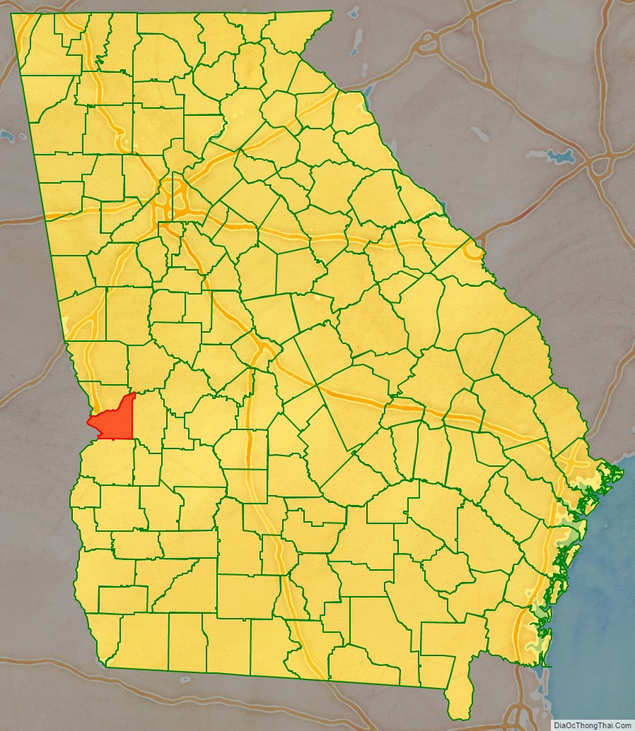
Adjacent counties
- Muscogee County (north)
- Talbot County (northeast)
- Marion County (east)
- Stewart County (south)
- Russell County, Alabama (which is west of the border of Central Standard Time border except for Phenix City, Alabama, a part of the Columbus Metropolitan Area)
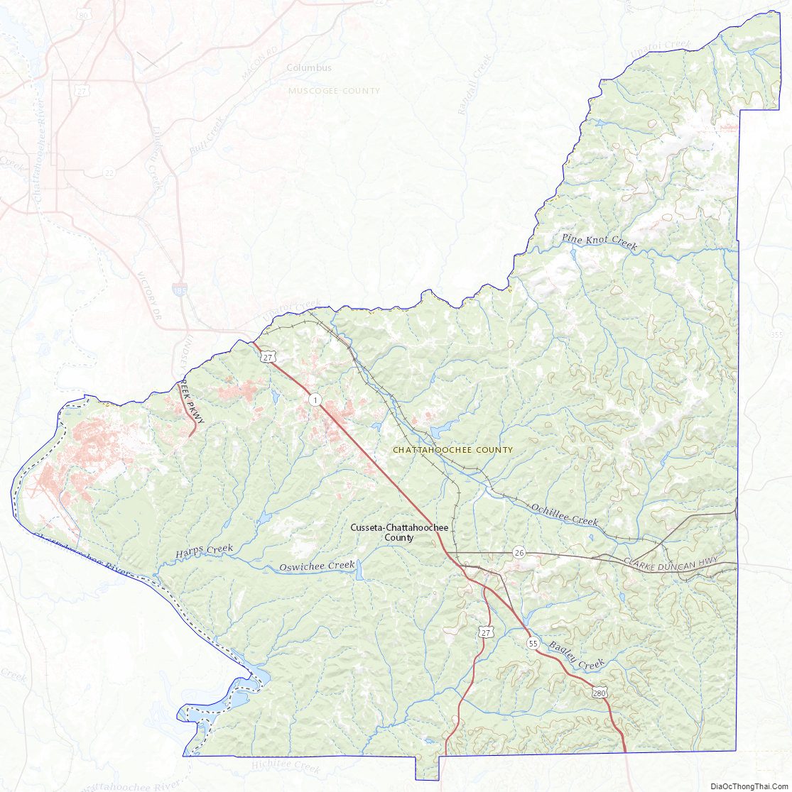
Chattahoochee County Topographic Map
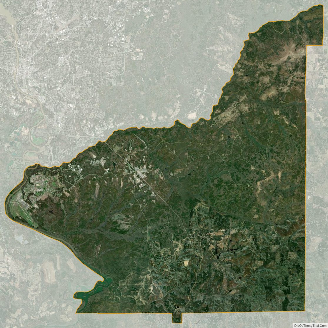
Chattahoochee County Satellite Map
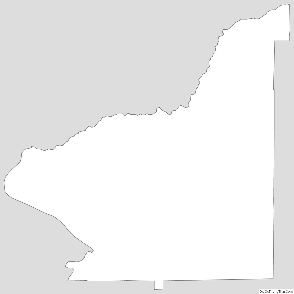
Chattahoochee County Outline Map