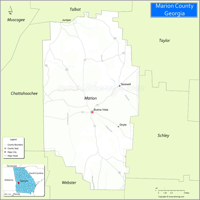
Marion County is a county located in the west central portion of the U.S. state of Georgia. As of the 2020 Census, the county had a population of 7,498. The county seat is Buena Vista. The county was created on December 14, 1827. The county was named for General Francis Marion of South Carolina.
Marion County is included in the Columbus, GA-AL Metropolitan Statistical Area.
The art site of Pasaquan is located in Marion County.
| Name: | Marion County |
|---|---|
| FIPS code: | 13-197 |
| State: | Georgia |
| Founded: | December 14, 1827 |
| Named for: | Francis Marion |
| Seat: | Buena Vista |
| Largest city: | Buena Vista |
| Total Area: | 367 sq mi (950 km²) |
| Land Area: | 366 sq mi (950 km²) |
| Total Population: | 7,498 |
| Population Density: | 20/sq mi (8/km²) |
| Time zone: | UTC−5 (Eastern) |
| Summer Time Zone (DST): | UTC−4 (EDT) |
| Website: | www.marioncountyga.org |
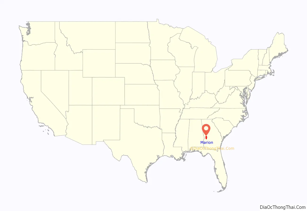
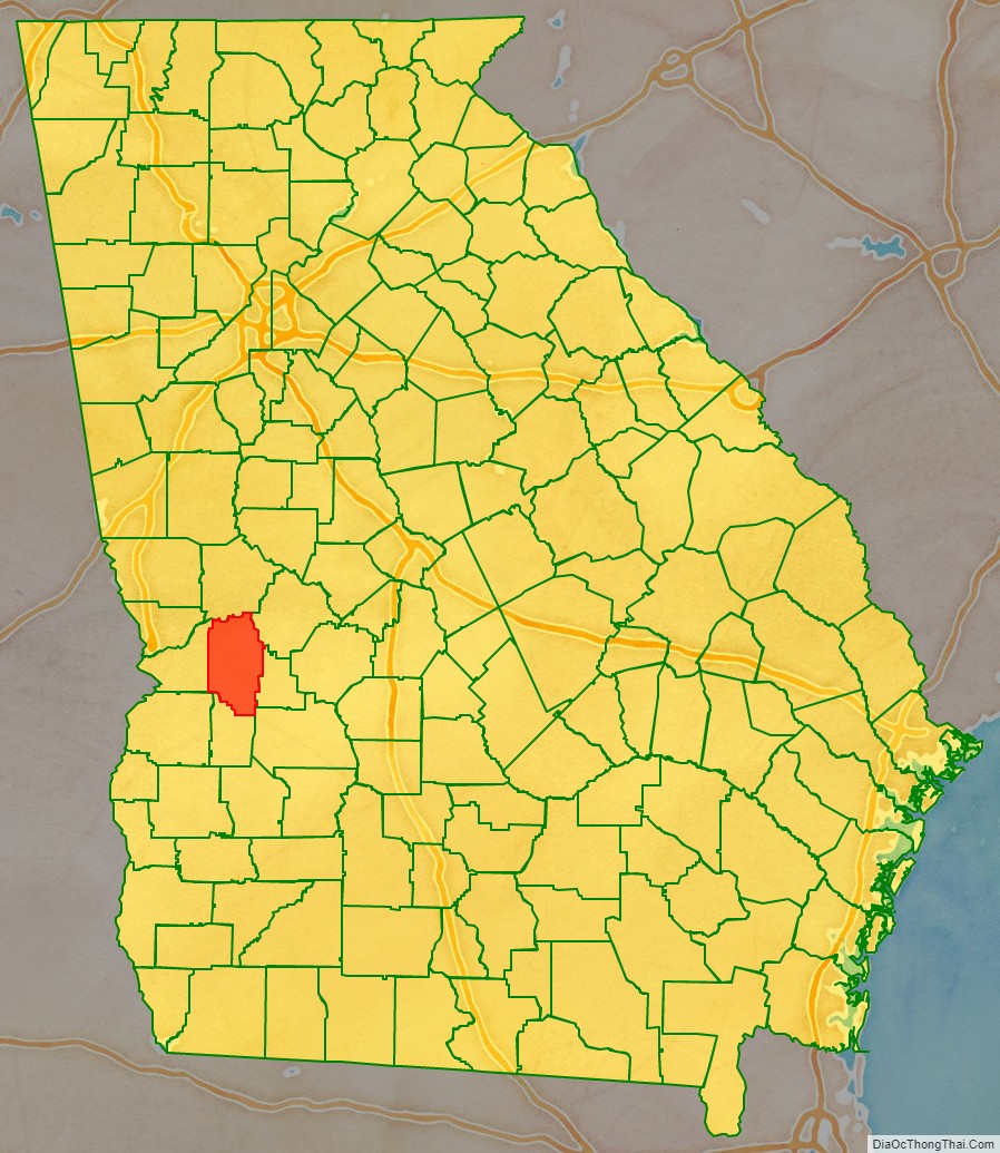
Marion County location map. Where is Marion County?
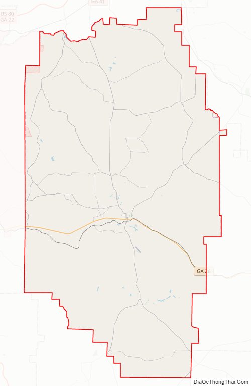
Marion County Road Map
Geography
According to the U.S. Census Bureau, the county has a total area of 367 square miles (950 km), of which 366 square miles (950 km) is land and 1.5 square miles (3.9 km) (0.4%) is water.
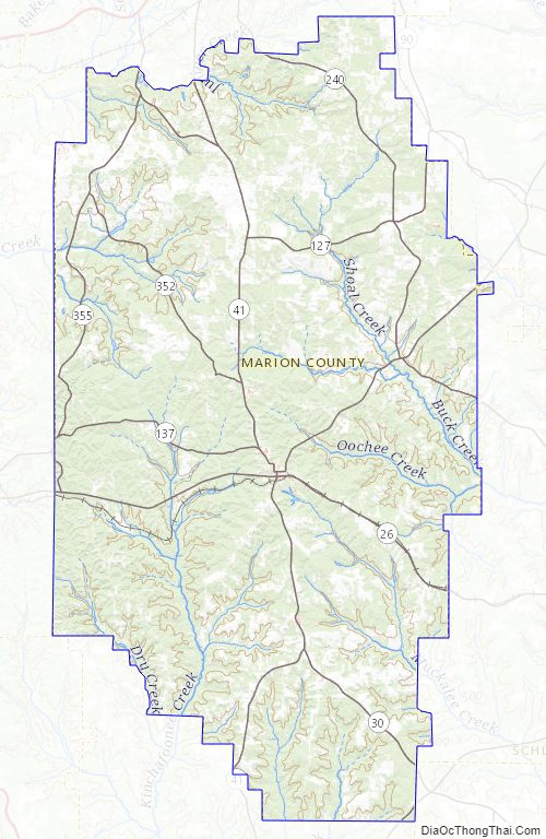
The southern half of Marion County, roughly south of Buena Vista, is located in the Kinchafoonee-Muckalee sub-basin of the ACF River Basin (Apalachicola-Chattahoochee-Flint River Basin). The northwestern portion of the county is located in the Middle Chattahoochee River-Walter F. George Lake sub-basin of the same ACF River Basin. The majority of the northeastern portion of Marion County is located in the Middle Flint River sub-basin of the larger ACF River Basin, with just very small portions of the northeastern border, most of which is bisected by State Route 127 south of Mauk, located in the Upper Flint River sub-basin of the same larger ACF River Basin.
Major highways
- State Route 26
- State Route 30
- State Route 41
- State Route 41 Connector
- State Route 127
- State Route 137
- State Route 137 Spur
- State Route 153
- State Route 240
- State Route 240 Connector
- State Route 352
- State Route 355
Adjacent counties
- Talbot County (north)
- Taylor County (northeast)
- Schley County (east)
- Sumter County (southeast)
- Webster County (south)
- Chattahoochee County (west)
Marion County Topographic Map
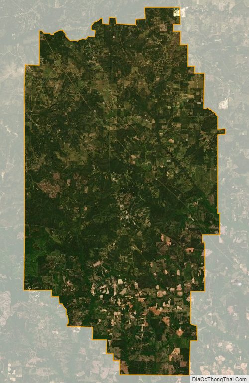
Marion County Satellite Map
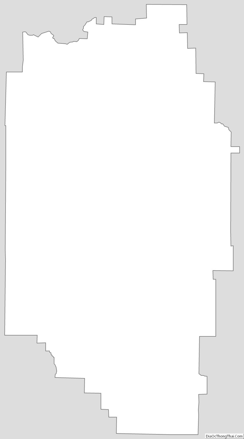
Marion County Outline Map