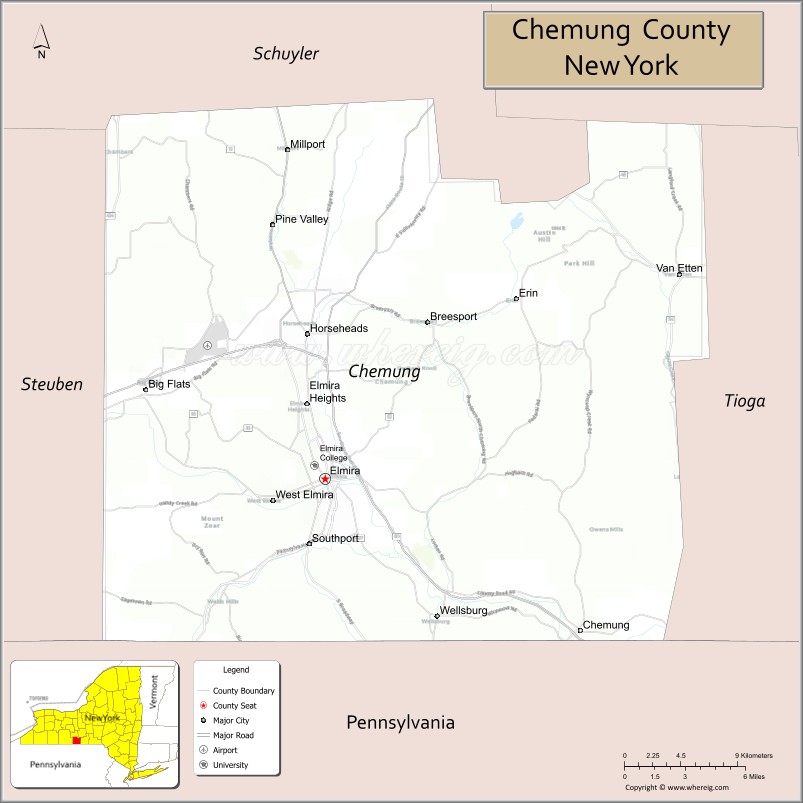
Chemung County is a county in the southern tier of the U.S. state of New York. The population was 84,148 as of the 2020 census. Its county seat is Elmira. Its name is derived from a Delaware Indian village whose name meant “big horn”.
Chemung County comprises the Elmira, NY Metropolitan Statistical Area, which is also included in the Elmira-Corning, NY Combined Statistical Area.
Many signs posted along roads in Chemung County refer to the area as “Mark Twain Country,” because the noted author lived and wrote for many years in Elmira.
| Name: | Chemung County |
|---|---|
| FIPS code: | 36-015 |
| State: | New York |
| Founded: | March 29, 1836 |
| Named for: | Unami for “big horn” |
| Seat: | Elmira |
| Largest city: | Elmira |
| Total Area: | 411 sq mi (1,060 km²) |
| Land Area: | 407 sq mi (1,050 km²) |
| Total Population: | 84,148 |
| Population Density: | 206.6/sq mi (79.8/km²) |
| Time zone: | UTC−5 (Eastern) |
| Summer Time Zone (DST): | UTC−4 (EDT) |
| Website: | www.chemungcounty.com |
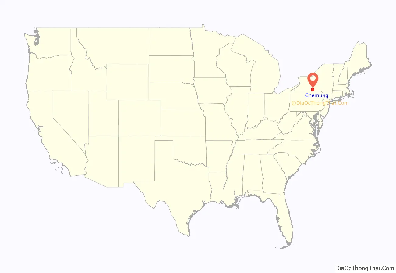
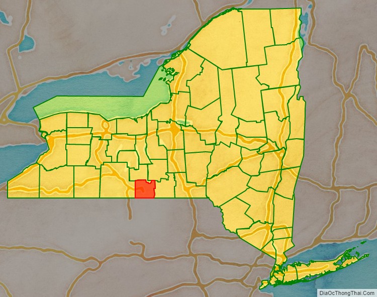
Chemung County location map. Where is Chemung County?
History
Chemung County was formed from 520 square miles (1,300 km) of Tioga County in 1836.
In 1854, Chemung County was divided and 110 square miles (280 km) became Schuyler County, reducing Chemung to 410 square miles (1,100 km), its current size.
In the late 1870s, the Greenback Party became prominent in Chemung and nearby counties in western New York. Here it was primarily allied with labor in a critique of capital, reaching its peak in 1878, the year following the Great Railroad Strike of 1877 and the Scranton General Strike in Pennsylvania. There were also strikes that year in Albany, Syracuse and Buffalo, starting with the railroad workers. In Steuben and Chemung counties, Greenbackers were elected to county councils in 1878 instead of Democrats, and others were elected from there and nearby counties to the state legislature, gaining votes of more than 25 percent in several of the Southern Tier counties. It gradually declined after that, due to internal dissension and the strength of the two major parties.
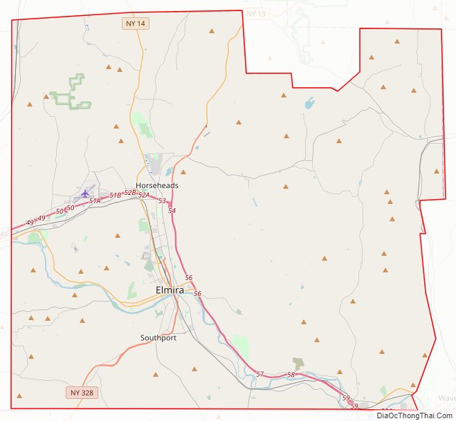
Chemung County Road Map
Geography
According to the U.S. Census Bureau, the county has a total area of 411 square miles (1,060 km), of which 407 square miles (1,050 km) is land and 3.4 square miles (8.8 km) (0.8%) is water.
Chemung County is in the southwestern part of New York State, along the Pennsylvania border, in a part of New York called the Southern Tier and is also part of the Finger Lakes Region.
The Southern Tier Expressway runs through the County east-west near the Pennsylvania border, between Waverly, New York and Corning, New York via Elmira, New York.
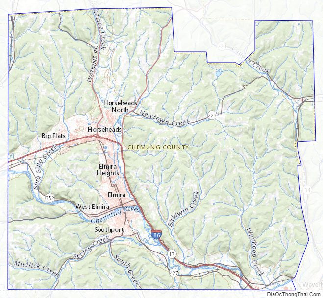
Chemung County Topographic Map
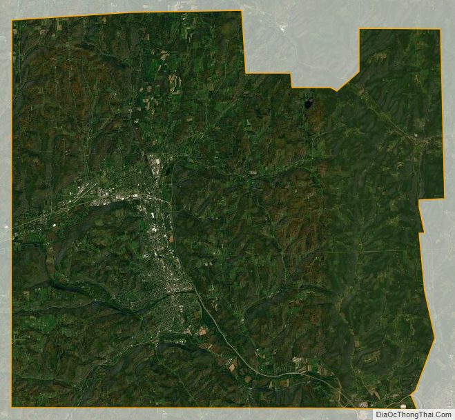
Chemung County Satellite Map
Chemung County Outline Map