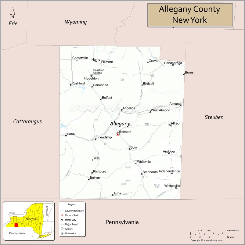
Allegany County is a county in the Southern Tier of the U.S. state of New York. As of the 2020 census, the population was 46,456. Its county seat is Belmont. Its name derives from a Lenape word, applied by European-American settlers of Western New York State to a trail that followed the Allegheny River; they also named the county after this.
The county is bisected by the Genesee River, flowing north to its mouth on Lake Ontario. During the mid-nineteenth century, the Genesee Valley Canal was built to link southern markets to the Great Lakes and Mohawk River. The county was also served by railroads, which soon superseded the canals in their capacity for carrying freight. Part of the Oil Springs Reservation, controlled by the Seneca Nation, is located in the county.
| Name: | Allegany County |
|---|---|
| FIPS code: | 36-003 |
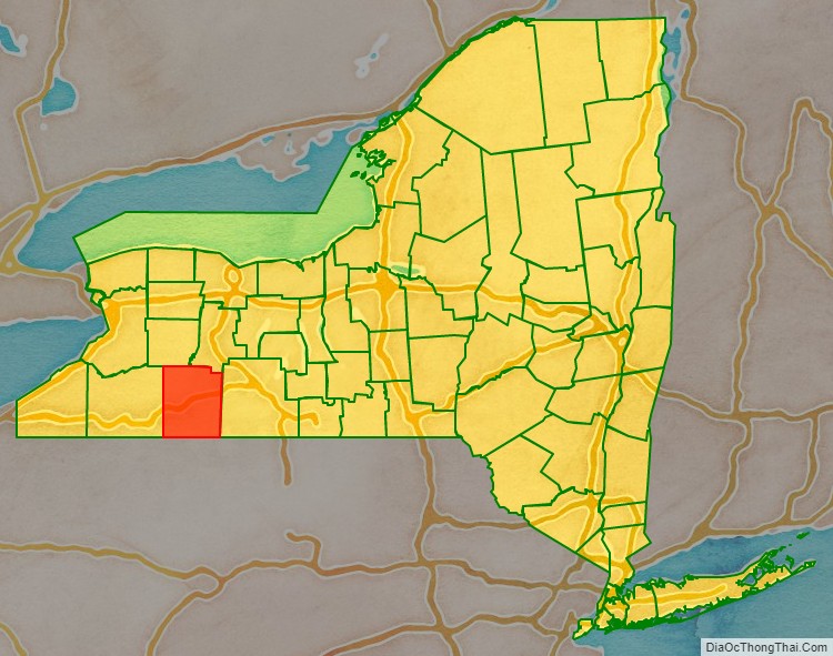
| State: | New York |
| Founded: | 1806 |
| Named for: | Lenape name for the Allegheny River |
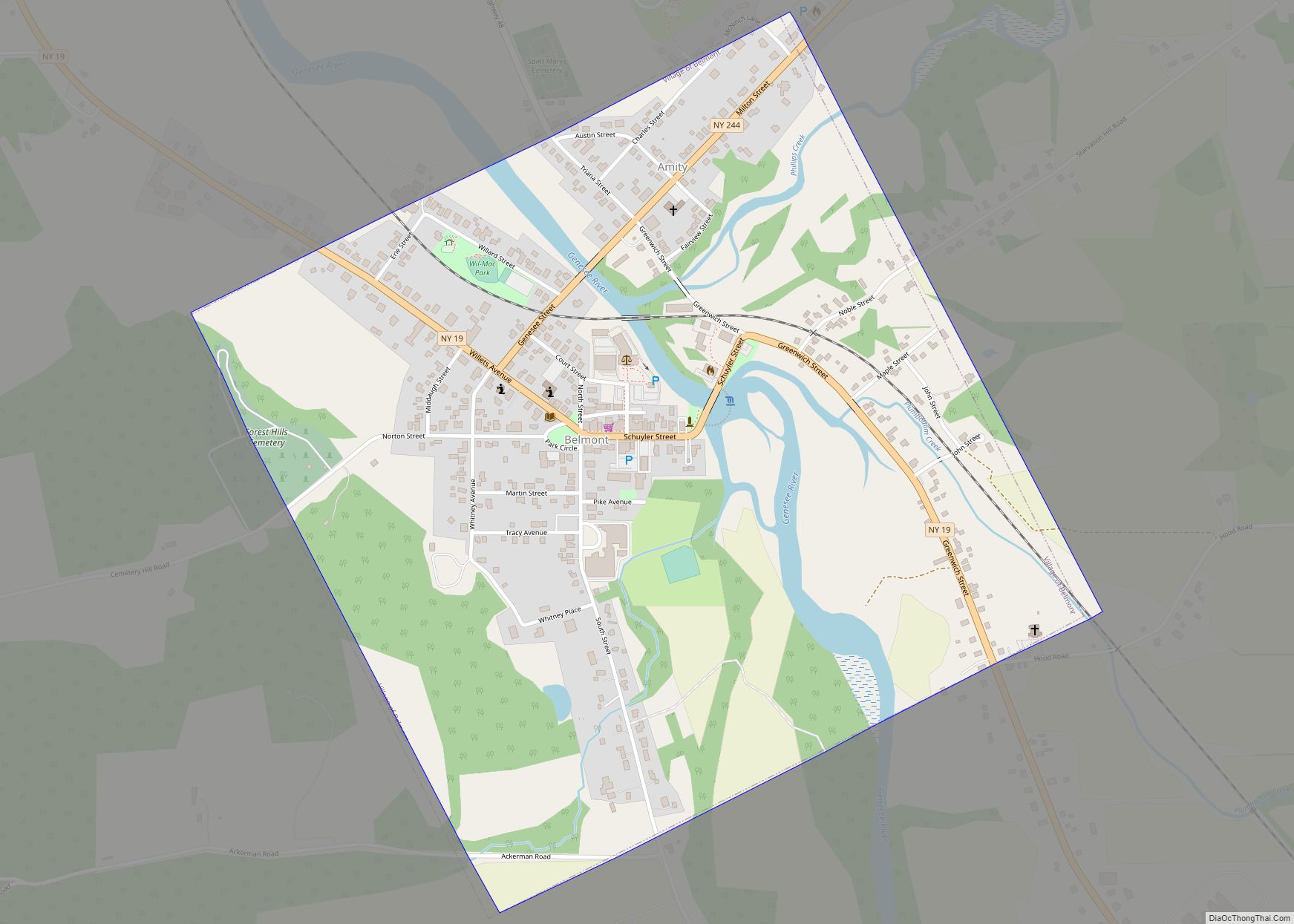
| Seat: | Belmont |
| Largest town: | Wellsville |
| Total Area: | 1,034 sq mi (2,680 km²) |
| Land Area: | 1,029 sq mi (2,670 km²) |
| Total Population: | 46,456 |
| Population Density: | 45.1/sq mi (17.4/km²) |
| Time zone: | UTC−5 (Eastern) |
| Summer Time Zone (DST): | UTC−4 (EDT) |
| Website: | www.alleganyco.com |
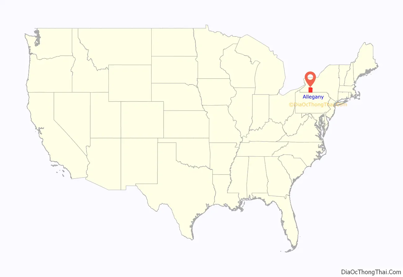
Allegany County location map. Where is Allegany County?
History
For centuries, Allegany County was the territory of the Seneca people, at the westernmost nation of the Five Nations of the Haudenosaunee, a confederacy of Iroquoian languages-speaking peoples. European-American permanent settlement did not take place until after the American Revolutionary War and the forced cession by the Seneca of most of their lands in western New York. New York State sold off the lands cheaply to attract new European-American settlers and agricultural development.
Allegany County was created by the state legislature on April 7, 1806, when Genesee County, New York, was partitioned to set aside some 1,570 square miles (4,000 km) to the new county. The first County Seat was established at Angelica, New York, where it remained for half a century. It was later moved to Belmont, a village located along the Genesee River. On March 11, 1808, the borders were adjusted so that 230 square miles (600 km) of Steuben County passed to Allegany County, and 600 miles (1,000 km) of Allegany County passed to Genesee County. This established the current border between Genesee and Steuben counties, and reduced the size of Allegany County to 1,200 square miles (3,100 km). On June 12, 1812, the legislature authorized the attachment of Cattaraugus County, New York, to Allegany County for administration reasons, but for practical reasons this action did not take place at that time. However, on April 13, 1814, the eastern half of Cattaraugus County was so attached and administered from Belmont. This attachment was ended on March 28, 1817. With continued settlement through the mid-nineteenth century, the legislature periodically adjusted county borders as new counties were organized in western New York. On April 1, 1846, Allegany County lost 120 square miles (310 km) to Wyoming County, reducing the size of Allegany County to 1,140 square miles (3,000 km), and establishing the current border between Allegany and Wyoming counties. On May 11, 1846, Allegany County lost 50 square miles (100 km) to Livingston County, reducing the total to 1,090 square miles (2,800 km), and establishing the western portion of the current border with Livingston County. On March 23, 1857, Allegany County lost another 40 square miles (100 km) to Livingston County, passing the Ossian, New York, area to Livingston County, and establishing the current border between them.
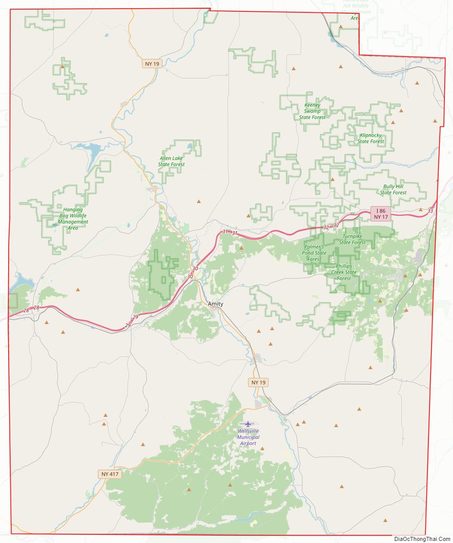
Allegany County Road Map
Geography
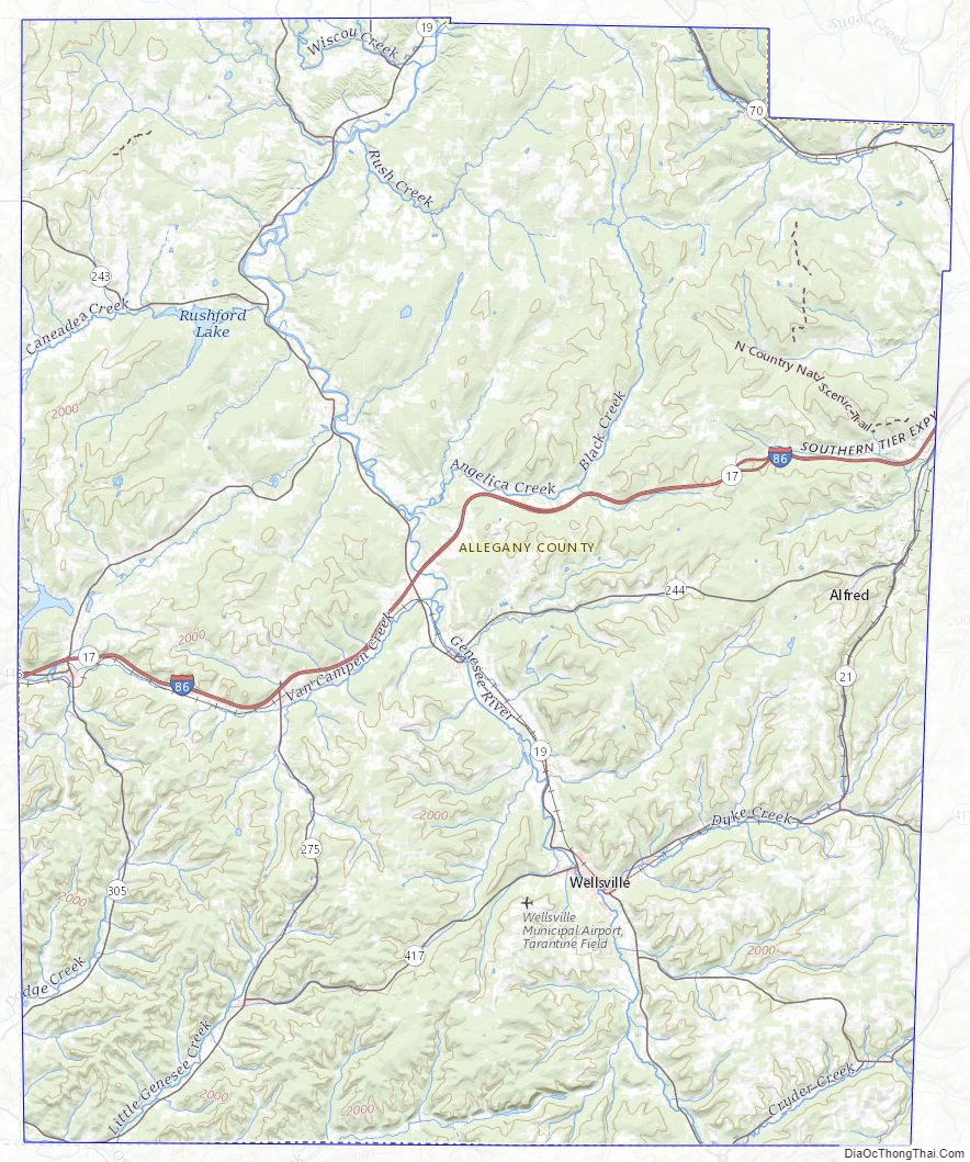
According to the U.S. Census Bureau, the county has a total area of 1,034 square miles (2,680 km), of which 1,029 square miles (2,670 km) is land and 5.1 square miles (13 km) (0.5%) is water.
Allegany County is in the southwestern part of New York State, along the Pennsylvania border. Allegany County does not lie along the Allegheny River, as its name would suggest. The highest point in the county is Alma Hill, with an elevation of 2,548 feet (777 meters) above sea level. This is the highest point in the state west of the Catskill Mountains. The highest point of Interstate 86 is located in the Town of West Almond with an elevation of 2,110 feet. This is also believed to be the highest point of any interstate in the New York. The county is unique from a watershed perspective as it is providing water to three major watersheds of North America: The eastern part near Alfred has Canacadea Creek that goes into the Canisteo River, Susquehanna River and eventually to Chesapeake Bay.
The Genesee River bisects the county from south to north, flowing north out of the County through Letchworth State Park with its three waterfalls on to Rochester over three more waterfalls to its mouth on Lake Ontario and then on to the St. Lawrence River and Atlantic Ocean. The southwestern part of the County flows into the Allegheny River that flows into the Ohio and then to the Mississippi River basin to the Gulf of Mexico.
In June 1972 the remnants of Hurricane Agnes stalled over the area, dropping more than 20 inches (510 mm) of rain. Flooding took place in the valley communities of Wellsville, Belmont, Belfast, and others in the county.
Long a necessary transportation waterway for the Seneca and other Native Americans, and successive European-American settlers, since the late 20th century, the Genesee River has been extremely popular with canoeists. The river is also favored by fishermen as it abounds in smallmouth bass, trout and panfish.
Adjacent counties
- Livingston County – northeast
- Steuben County – east
- Potter County, Pennsylvania – southeast
- McKean County, Pennsylvania – southwest
- Cattaraugus County – west
- Wyoming County – northwest
Major highways
- Interstate 86 (Southern Tier Expressway)
- New York State Route 17 (Southern Tier Expressway)
- New York State Route 19
- New York State Route 21
- New York State Route 305
- New York State Route 417
Allegany County Topographic Map
Allegany County Satellite Map

Allegany County Outline Map