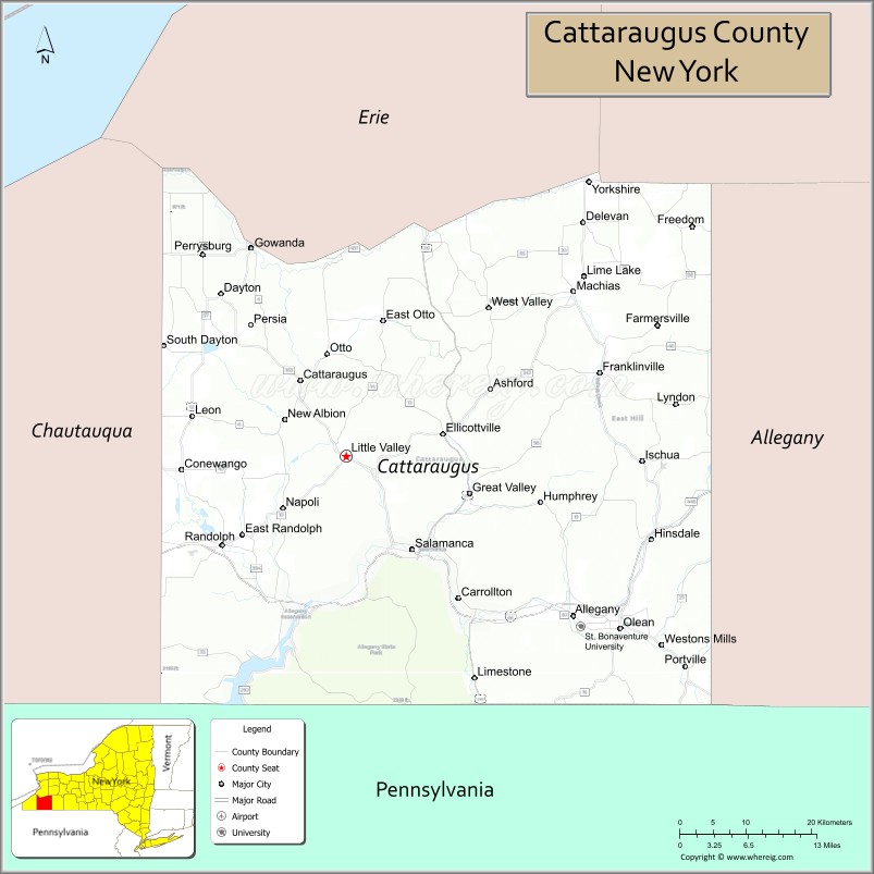
Cattaraugus County (locally known as Catt County) is a county in Western New York, with one side bordering Pennsylvania. As of the United States 2020 census, the population was 77,042. The county seat is Little Valley. The county was created in 1808 and later organized in 1817.
Cattaraugus County comprises the Olean, NY Micropolitan Statistical Area, which is included in the Buffalo-Cheektowaga-Olean, NY Combined Statistical Area. Within its boundaries are the Allegany Indian Reservation of the Seneca Nation of New York, and the Allegany State Park. The Allegheny River runs through the county.
| Name: | Cattaraugus County |
|---|---|
| FIPS code: | 36-009 |
| State: | New York |
| Founded: | March 28, 1817 |
| Seat: | Little Valley |
| Largest city: | Olean |
| Total Area: | 1,322 sq mi (3,420 km²) |
| Land Area: | 1,308 sq mi (3,390 km²) |
| Total Population: | 77,042 |
| Population Density: | 58.9/sq mi (22.7/km²) |
| Time zone: | UTC−5 (Eastern) |
| Summer Time Zone (DST): | UTC−4 (EDT) |
| Website: | www.cattco.org |
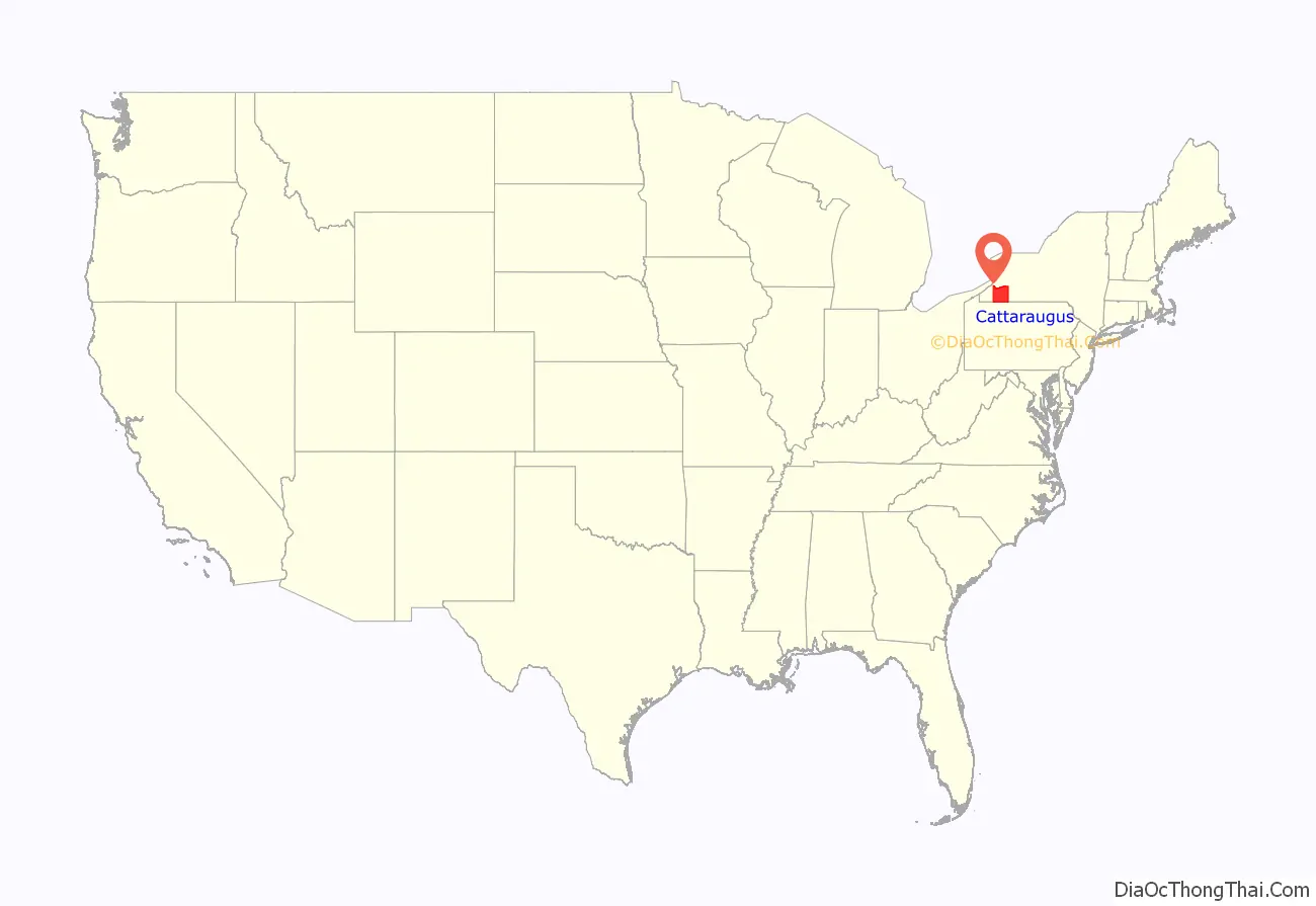
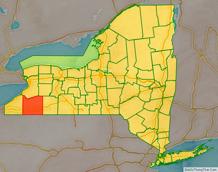
Cattaraugus County location map. Where is Cattaraugus County?
History
In ancient times, the largely unsettled territory was the traditional homeland of the now-extinct Wenrohronon Indians. It later became the territory of the Seneca people, one of the five Nations of the Haudenosaunee.
During the colonial era, it was claimed by at least three Territories of the United States: New York Colony, Massachusetts Bay Colony, and Pennsylvania Colony, each of which extended their colonial claims to the west until after the Revolutionary War.
When counties were established in the Province of New York in 1683, the territory of Cattaraugus County was included within Albany County. This was an enormous county, including the northern part of New York as well as all of the modern-day state of Vermont and, in theory, extending westward to the Pacific Ocean. As additional areas were settled, the county was reduced on July 3, 1766, by the creation of Cumberland County, and on March 16, 1770, by the creation of Gloucester County, both containing territory now in Vermont.
On March 12, 1772, what was left of Albany County was split into three parts, one remaining under the name Albany County. One of the other pieces, Tryon County, contained the western portion (and thus, since no western boundary was specified, theoretically still extended west to the Pacific). The eastern boundary of Tryon County was approximately five miles west of the present city of Schenectady. The county included the western part of the Adirondack Mountains and the area west of the West Branch of the Delaware River. The area then designated as Tryon County is represented in the 21st century by 37 counties of New York. The county was named for William Tryon, colonial governor of New York.
In the years before 1776, most of the Loyalists in Tryon County fled across the Niagara Frontier into modern day Ontario, Canada. In 1784, following the peace treaty that ended the Revolutionary War (and a treaty with Massachusetts that finally settled who owned Western New York), the name of Tryon County was changed to Montgomery County in honor of the general, Richard Montgomery, who had captured several places in Canada and died attempting to capture the city of Quebec. This replaced the name of the hated British governor.
In practice, however, these counties did not cover modern Cattaraugus County or Western New York. Most of that area lay within the Indian Reserve established in the Treaty of Fort Stanwix by the British; it was intended to be reserved for Native Americans and was ruled off-limits to European settlement.
The newly independent United States sought to extinguish Native reserves after the British ceded their territory east of the Mississippi River and south of the Great Lakes to the United States. This included Iroquois territory in New York; the four nations that had been allies of the British mostly relocated to Ontario, Canada where the Crown gave them land grants in some compensation for losses. The Treaty of Canandaigua, in 1794, extinguished what was left of native title, with the exception of several reservations, three of which were at least partially located in what is now Cattaraugus County.
Ontario County was split from Montgomery County in 1789 as a result of the establishment of the Morris Reserve. In turn, Genesee County was split from Ontario County in 1802 as a result of the Holland Purchase. This period was the beginning of more significant European-American settlement of this western territory. Shortly afterward, Genesee County was reduced in 1806 by the creation of Allegany County.
Cattaraugus County was formed in 1808, split off from Genesee County. At first there was no county government due to the sparse population. From 1812 to 1814, Cattaraugus County was incorporated in Allegany County; from 1814 to 1817, records of the county were divided between Belmont (Allegany County) and Buffalo (then in Niagara County).
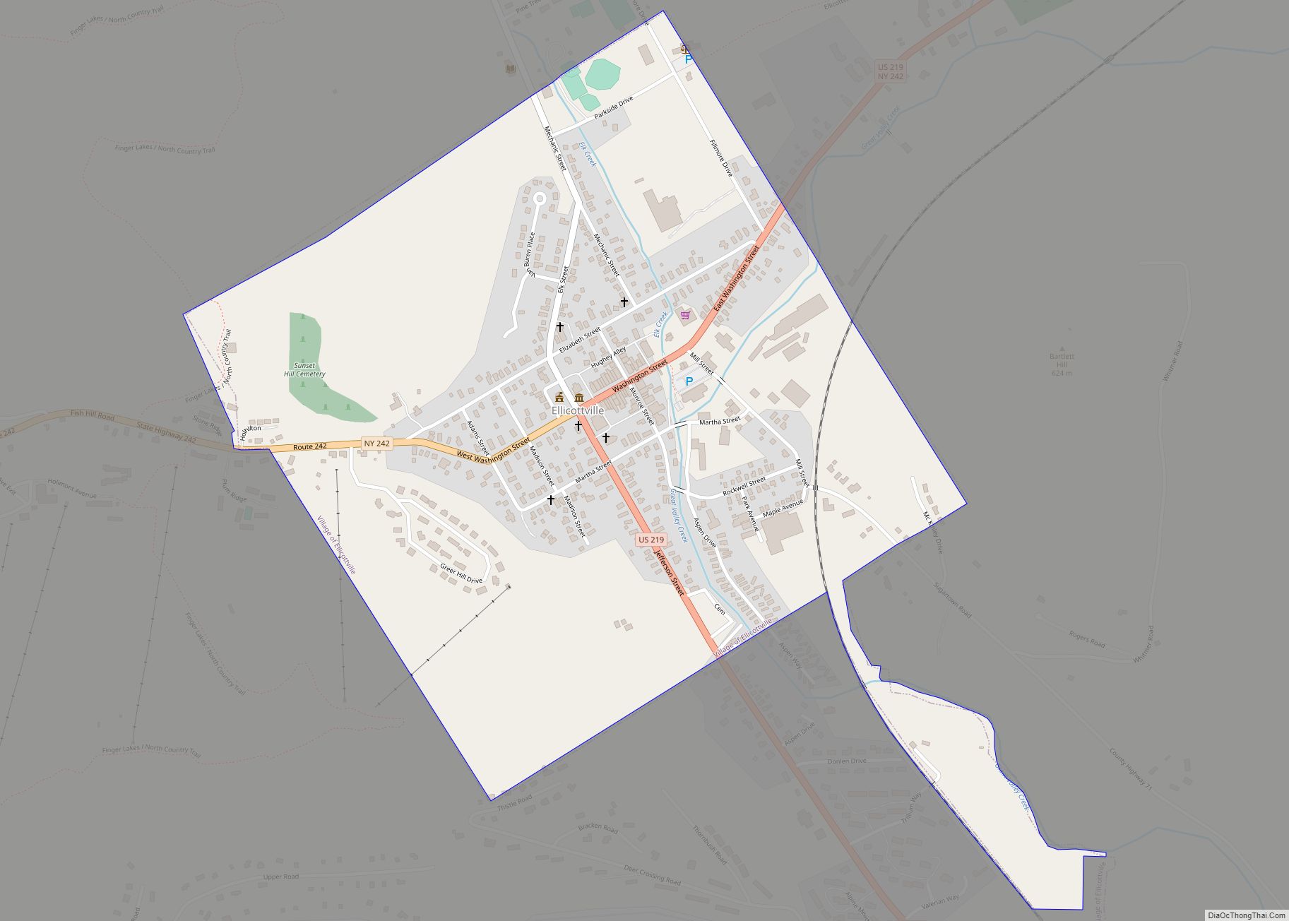
The name “Cattaraugus” derives from a Seneca word for “bad smelling banks,” in reference to the odor of natural gas leaking from rock seams. In 1817, a county government was established for Cattaraugus County in the southwestern corner of the town of Hebe, now Ellicottville.
Numerous towns in the county are named after agents of the Holland Land Company, including Ellicottville (Joseph Ellicott), Franklinville (William Temple Franklin, a speculator and grandson of Benjamin Franklin), and Otto and East Otto (Jacob Otto).
The first settlement in the county was in Olean. After 1860, in response to the construction of a railroad (where the Pat McGee Trail is now), the county seat was moved to Little Valley.
The Allegany Indian Reservation is within the county boundaries and is one of two controlled by the federally recognized Seneca Nation of New York in the western part of the state; the Seneca’s other territories, Cattaraugus Reservation and Oil Springs Reservation, are both partially within county boundaries. South of Salamanca, New York, a small city located within the reservation, is Allegany State Park, which is contiguous with the Allegheny National Forest in Pennsylvania.
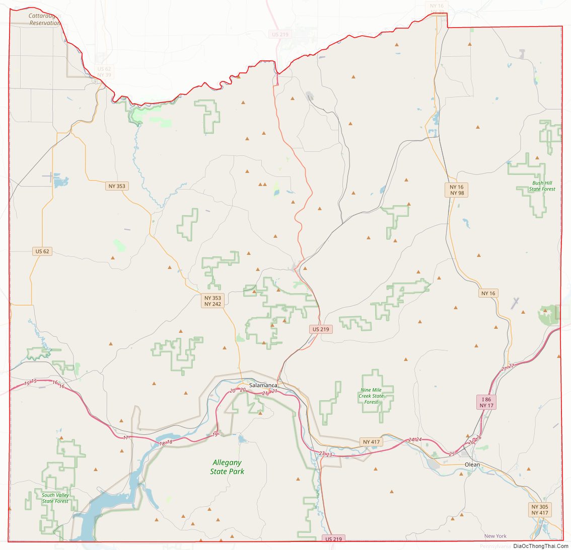
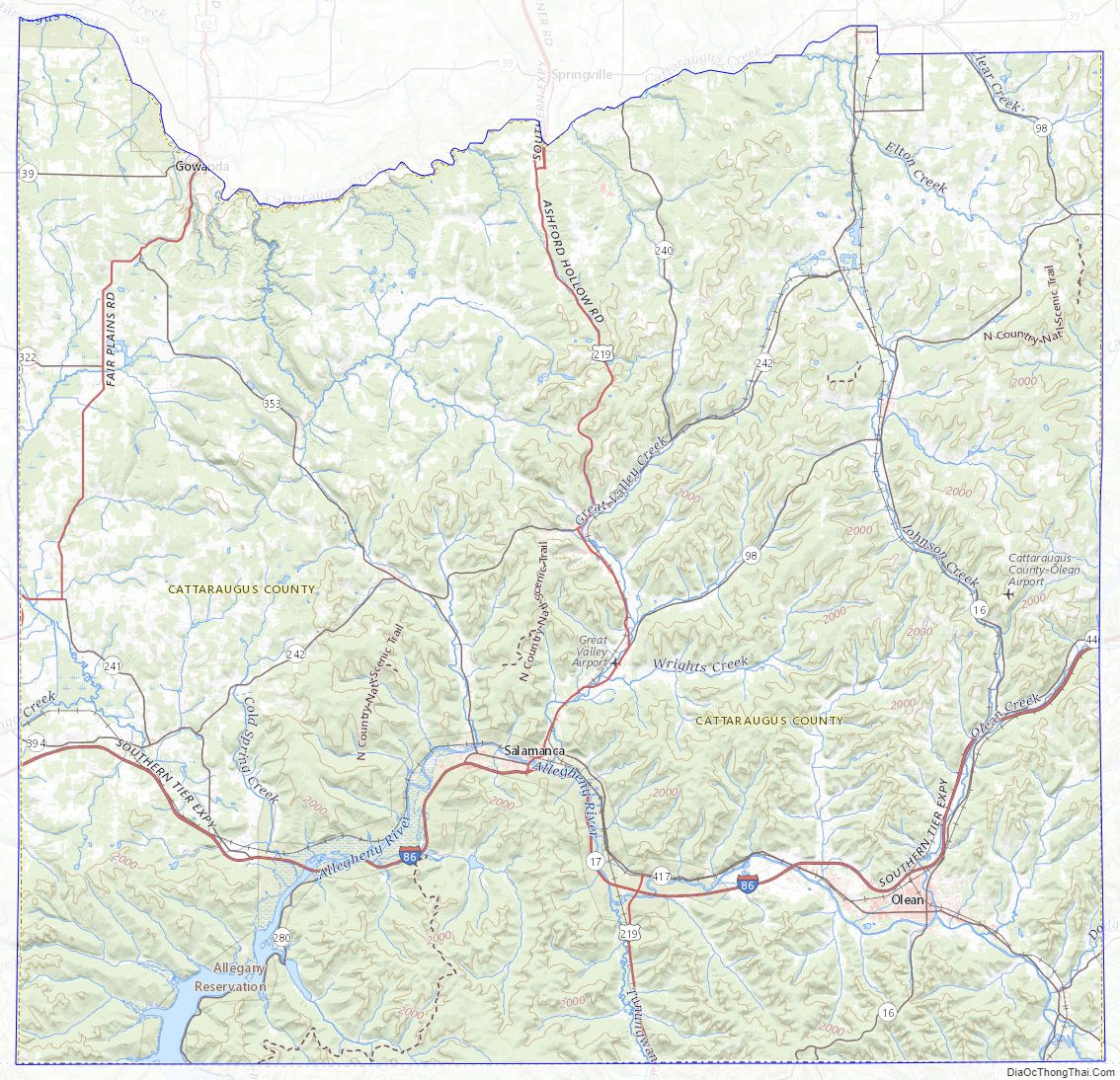
Cattaraugus County Road Map
Geography
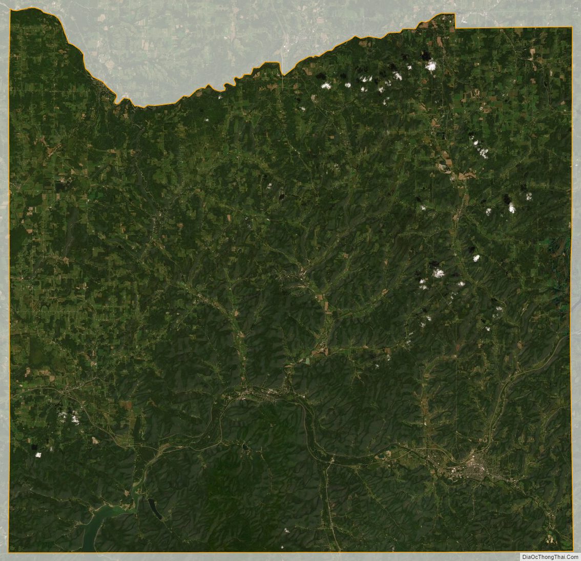
According to the U.S. Census Bureau, the county has a total area of 1,322 square miles (3,420 km), of which 1,308 square miles (3,390 km) is land and 14 square miles (36 km) (1.1%) is water.
Cattaraugus County is in the southwestern part of the state, immediately north of the Pennsylvania border, bordering the counties of McKean County, Pennsylvania and Warren County, Pennsylvania. The southern part of Cattaraugus County is the only area of western New York that was not covered by the last ice age glaciation . It is noticeably more rugged than neighboring areas that had peaks rounded and valleys filled by the glacier. The entire area is a dissected plateau of Pennsylvanian and Mississippian age, but appears mountainous to the casual observer. It is this string of mountain-like peaks that gives the county its promotional name, the Enchanted Mountains.
The plateau is an extension of the Allegany Plateau from nearby Pennsylvania. Southern Cattaraugus County is part of the same oil field, and petroleum was formerly a resource of the area. It is now mostly played out, but natural gas continues to be extracted.
A continental divide between the Mississippi River and Great Lakes watersheds runs through Cattaraugus County.
The northern border of the county is formed by Cattaraugus Creek and the Allegheny River flows through the county.
Notable geographic features
- Mount Tuscarora in Coldspring (formerly Elko)
- Mount Three Sisters, Mount Seneca, Mount Cayuga, Mount Onondaga, Mount Oneida, Mount Mohawk, and Blacksnake Mountain in Red House
- Mount Irvine in Carrollton
- McCarty Hill in Great Valley
- Hartzfelt Mountain and Mount Hermanns in Olean
- Allegheny Reservoir
- Cuba Lake
- Lime Lake
- Quaker Lake
- Red House Lake
- Allegheny River
- Ischua Creek
- Tunungwant Creek
- Great Valley Creek
- Little Valley Creek
- Red House Brook
- Conewango Creek
- Cattaraugus Creek
- Cattaraugus Creek South Branch
Adjacent counties
- Erie County – north
- Wyoming County – northeast
- Allegany County – east
- McKean County, Pennsylvania – southeast
- Warren County, Pennsylvania – southwest
- Chautauqua County – west
Cattaraugus County Topographic Map
Cattaraugus County Satellite Map
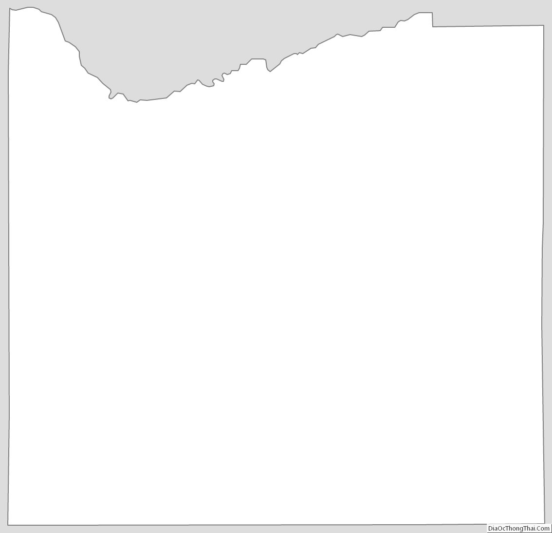
Cattaraugus County Outline Map