Corning is a city in Steuben County, New York, United States, on the Chemung River. The population was 10,551 at the 2020 census. It is named for Erastus Corning, an Albany financier and railroad executive who was an investor in the company that developed the community. The city is best known as the headquarters of Fortune 500 company Corning Incorporated, formerly Corning Glass Works, a manufacturer of glass and ceramic products for industrial, scientific and technical uses. Corning is roughly equidistant from New York City and Toronto, being about 220 miles (350 km) from both.
| Name: | Corning city |
|---|---|
| LSAD Code: | 25 |
| LSAD Description: | city (suffix) |
| State: | New York |
| County: | Steuben County |
| Elevation: | 932 ft (284 m) |
| Total Area: | 3.26 sq mi (8.45 km²) |
| Land Area: | 3.08 sq mi (7.99 km²) |
| Water Area: | 0.18 sq mi (0.46 km²) |
| Total Population: | 10,551 |
| Population Density: | 3,421.21/sq mi (1,321.04/km²) |
| ZIP code: | 14830-14831 |
| Area code: | 607 |
| FIPS code: | 3618256 |
| GNISfeature ID: | 0947476 |
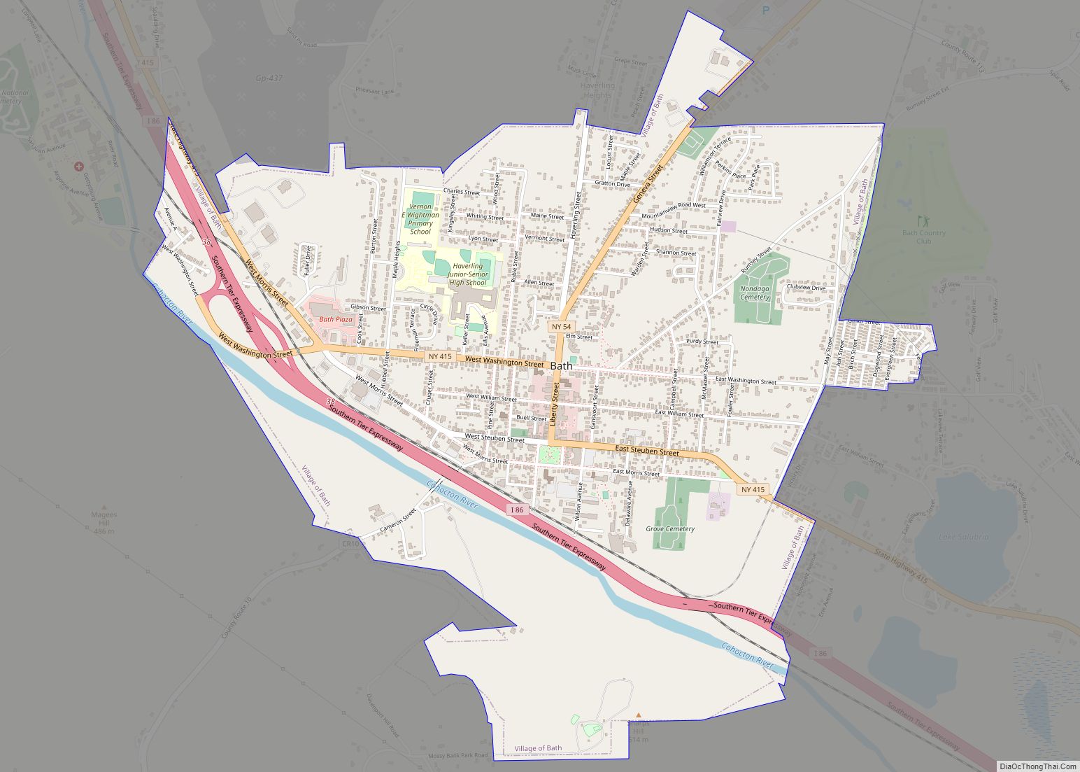
Online Interactive Map
Click on ![]() to view map in "full screen" mode.
to view map in "full screen" mode.
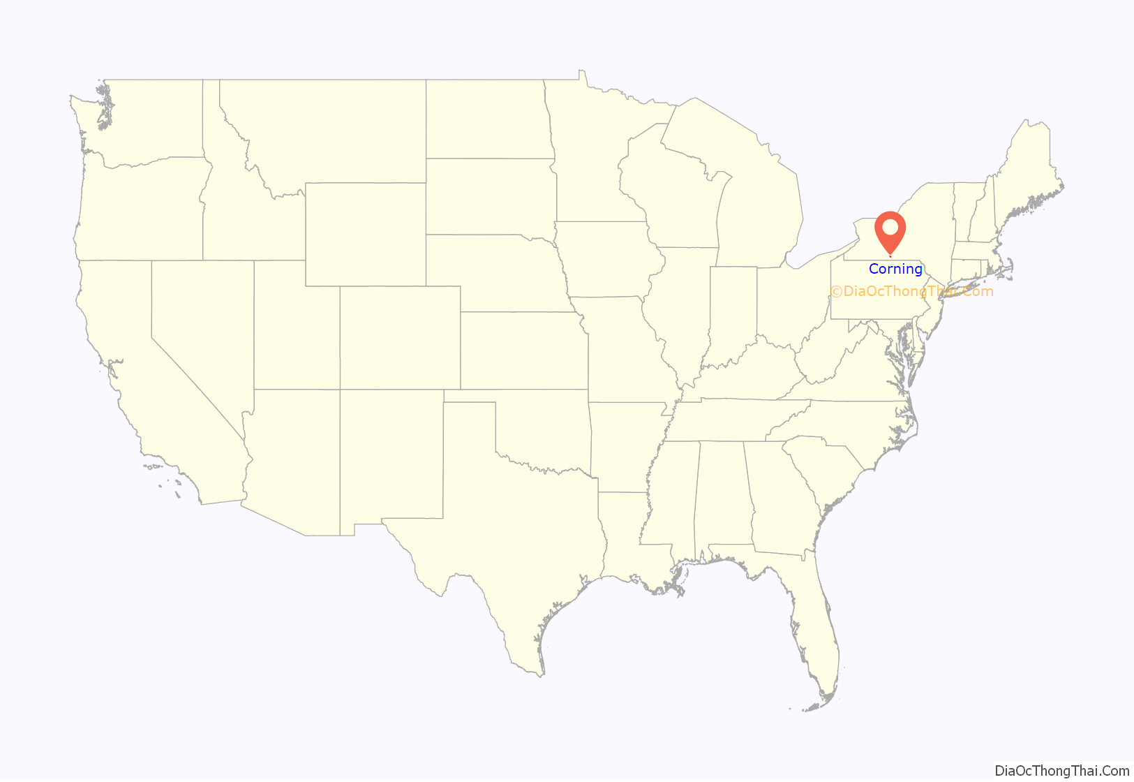
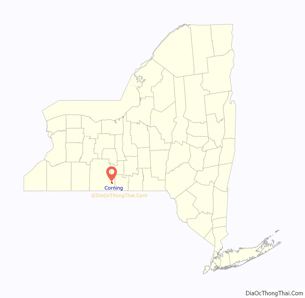
Corning location map. Where is Corning city?
History
The first settlement in the town of Corning was made near the site of the future city in 1796. The community was incorporated as a village in 1848. Corning was incorporated as a city in 1890. As the glass industry developed, Corning became known as the “Crystal City” which was supported by companies such as Hawkes, Sinclair, and Hunt – which produced some of the finest American Brilliant Period cut glass between 1880 and 1915.
The Corning area’s first real industry was lumber. The first settlers used the area’s river systems to transport logs and finished lumber in fleets downstream to buyers. This gave rise to large mills which helped to develop the area. Rafting of lumber began to wane as timber was depleted. At one time the mills of the Corning area were reputed to be among the biggest in the world. After the lumber was depleted the great mills moved north to new forests.
East, across the Chemung River from Corning, lies Gibson, the site of a feeder canal for the Chemung Canal system. Some of Corning’s early prosperity came from the feeder canal system exposure. Canal cargoes from Corning included soft coal, timber, tobacco, grain, and whiskey. From April 22 to December 11, 1850, the canal season that year, the newspaper reported that 1,116 boats left the port of Corning. Tolls for the year totaled $54,060.39. Among items shipped were 46,572,400 pounds of coal. The canal’s best peacetime year was 1854 when 270,978 tons of freight were hauled. The Civil War brought an abnormal amount of business, with a peak of 307,151 tons hauled in one year.
After the Civil War, an industrial boom occurred in the region. Ingersoll Rand opened during this period in Painted Post, just north of Corning.
Corning became a railroad town in the 1880s, many smaller railroad lines busily weaving webs of tracks connecting the major trunk line to smaller communities. In 1912, the Corning train wreck three miles east of Corning in Gibson left 39 dead.
The Jenning’s Tavern, Corning Armory, Market Street Historic District, Southside Historic District, World War Memorial Library, and United States Post Office are listed on the National Register of Historic Places.
The flood of 1972
The flood of 1972 was a major event for the area. On June 22, 1972, the storm that had been Hurricane Agnes struck the Southern Tier of New York. The storm combined with a storm system from Ohio to drop six to eight inches (203 mm) of rain in the Chemung River basin. This ultimately overwhelmed the flood control systems of the time, and the Chemung River broke through the dam system on Friday, June 23 at 4:00 a.m. By 9:00 a.m. the river crested and began to recede. In the Corning area, eighteen people were killed and untold millions of dollars of damage was incurred. An example of these expenses took place in the town of Bath, NY, where a local woman, Lila Marano cooked nearly 100 pizzas out of her home kitchen to accommodate students at the Haverling High School graduation reception at the local Maarit Assembly Hall. The river receded within hours, leaving mud which can still be found in basements of homes and businesses in Corning, and there is a section of the Corning Museum of Glass that indicates on the wall how high the flood waters rose.
Corning Road Map
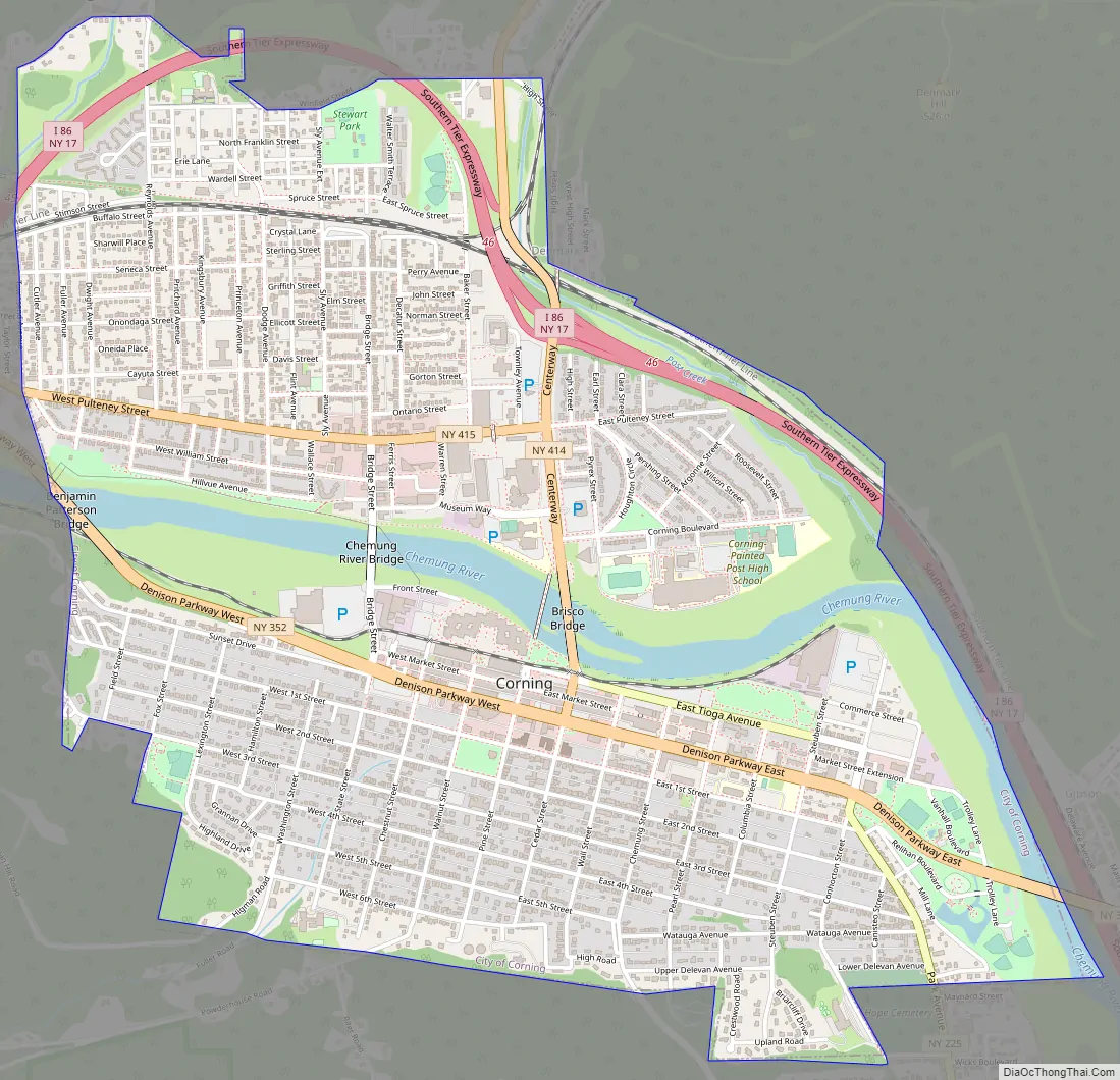
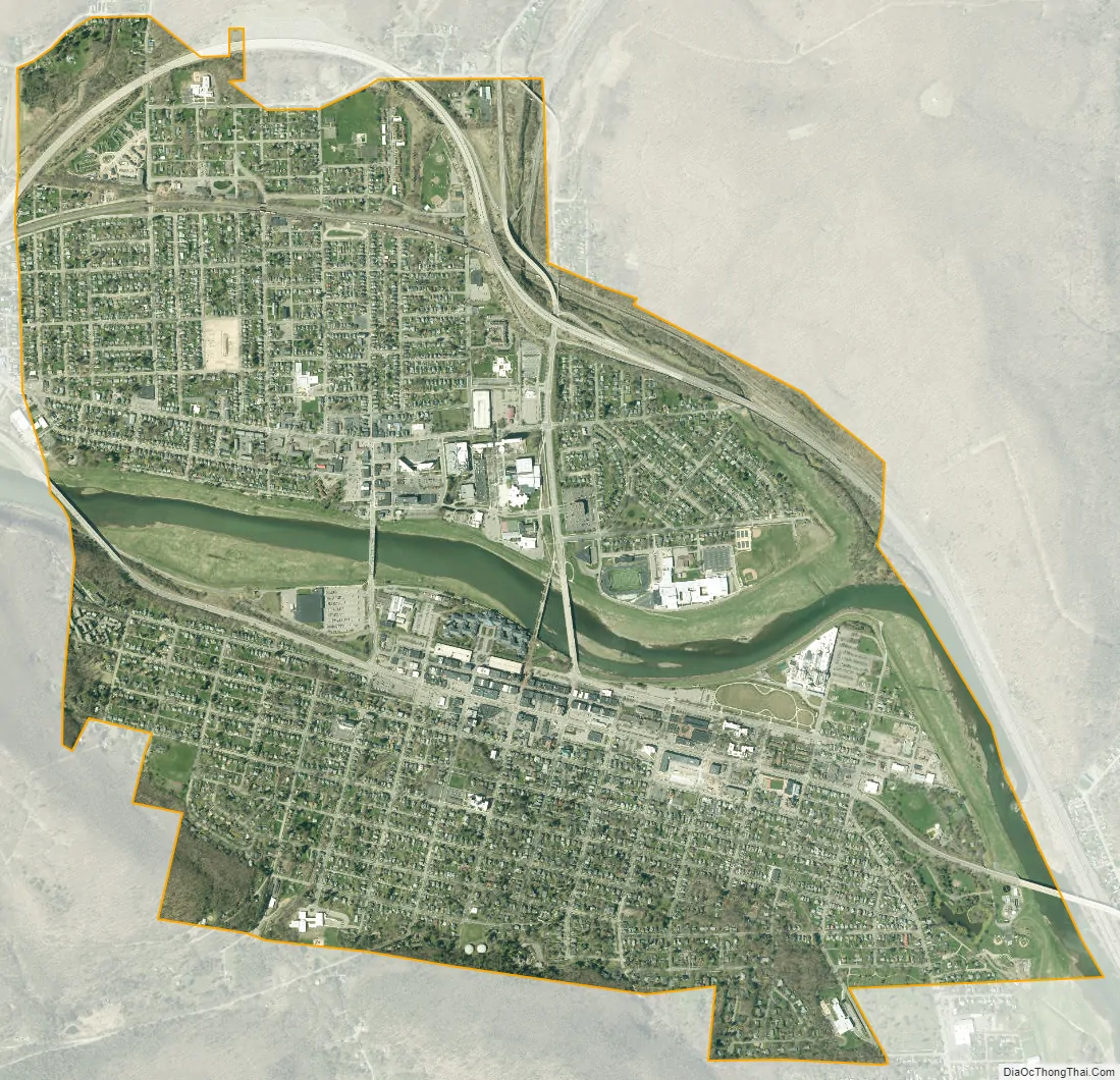
Corning city Satellite Map
Geography
Just upstream from Corning, the Cohocton River and the Tioga River merge to form the Chemung River which flows through downtown. The river was an important source of power in the early history, and is part of the attractiveness of the region today.
The river is prone to floods, as rain water runs off quickly from the steep hillsides of the area. In 1972 the remnants of Hurricane Agnes dropped fifteen or more inches of rain in the area within a short time causing extensive flooding. Eighteen people were killed in the immediate Corning-Painted Post area. The entire downtown area was flooded, with severe damage. Flooding is now controlled by a system of dams upstream from Corning.
Interstate 86 (the Southern Tier Expressway), New York State Route 17, New York State Route 352, New York State Route 414, and New York State Route 415 are major highways connecting in Corning. County Road 40 leads into the city from the south and County Road 41 from the north. Interstate 99 and U.S. Route 15 proceeds southward from Painted Post, west of Corning.
According to the United States Census Bureau, the city has a total area of 3.3 square miles (8.5 km), of which, 3.1 square miles (8.1 km) of it is land and 0.2 square miles (0.4 km) of it (5.18%) is water.
See also
Map of New York State and its subdivision:- Albany
- Allegany
- Bronx
- Broome
- Cattaraugus
- Cayuga
- Chautauqua
- Chemung
- Chenango
- Clinton
- Columbia
- Cortland
- Delaware
- Dutchess
- Erie
- Essex
- Franklin
- Fulton
- Genesee
- Greene
- Hamilton
- Herkimer
- Jefferson
- Kings
- Lake Ontario
- Lewis
- Livingston
- Madison
- Monroe
- Montgomery
- Nassau
- New York
- Niagara
- Oneida
- Onondaga
- Ontario
- Orange
- Orleans
- Oswego
- Otsego
- Putnam
- Queens
- Rensselaer
- Richmond
- Rockland
- Saint Lawrence
- Saratoga
- Schenectady
- Schoharie
- Schuyler
- Seneca
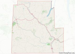
- Steuben
- Suffolk
- Sullivan
- Tioga
- Tompkins
- Ulster
- Warren
- Washington
- Wayne
- Westchester
- Wyoming
- Yates
- Alabama
- Alaska
- Arizona
- Arkansas
- California
- Colorado
- Connecticut
- Delaware
- District of Columbia
- Florida
- Georgia
- Hawaii
- Idaho
- Illinois
- Indiana
- Iowa
- Kansas
- Kentucky
- Louisiana
- Maine
- Maryland
- Massachusetts
- Michigan
- Minnesota
- Mississippi
- Missouri
- Montana
- Nebraska
- Nevada
- New Hampshire
- New Jersey
- New Mexico
- New York
- North Carolina
- North Dakota
- Ohio
- Oklahoma
- Oregon
- Pennsylvania
- Rhode Island
- South Carolina
- South Dakota
- Tennessee
- Texas
- Utah
- Vermont
- Virginia
- Washington
- West Virginia
- Wisconsin
- Wyoming