Carroll County is a county in the U.S. state of New Hampshire. As of the 2020 census, the population was 50,107, making it the third-least populous county in New Hampshire. Its county seat is Ossipee. The county was created in 1840 and organized at Ossipee from towns removed from Strafford County. It was named in honor of Charles Carroll of Carrollton, who had died in 1832, the last surviving signer of the United States Declaration of Independence.
| Name: | Carroll County |
|---|---|
| FIPS code: | 33-003 |
| State: | New Hampshire |
| Founded: | 1840 |
| Named for: | Charles Carroll of Carrollton |
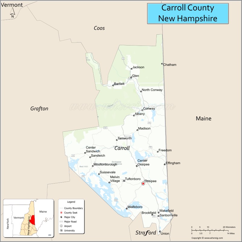
| Seat: | Ossipee |
| Largest town: | Conway |
| Total Area: | 993.5 sq mi (2,573 km²) |
| Land Area: | 931.9 sq mi (2,414 km²) |
| Total Population: | 50,107 |
| Population Density: | 53.8/sq mi (20.8/km²) |
| Time zone: | UTC−5 (Eastern) |
| Summer Time Zone (DST): | UTC−4 (EDT) |
| Website: | www.carrollcountynh.net |
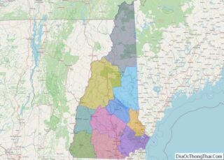
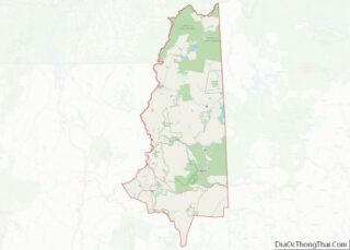
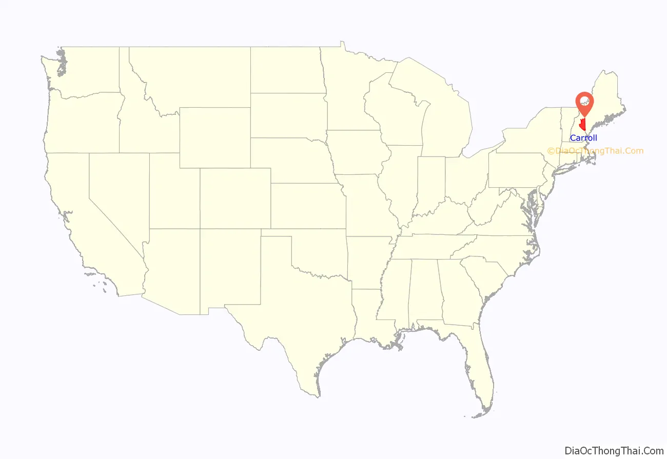
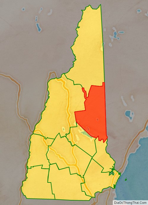
Carroll County location map. Where is Carroll County?
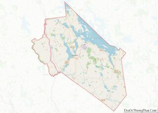
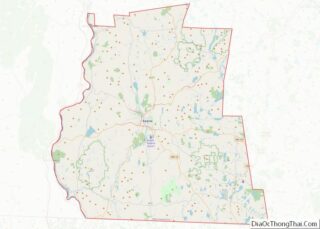
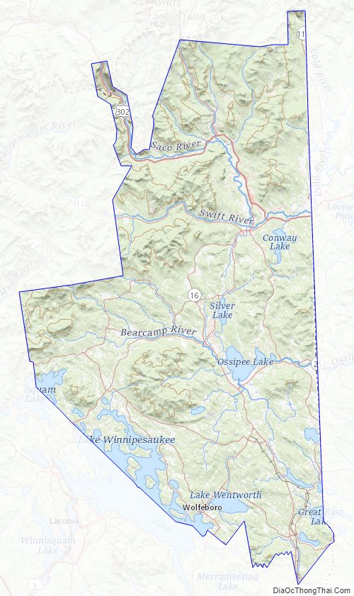
Carroll County Road Map
Geography
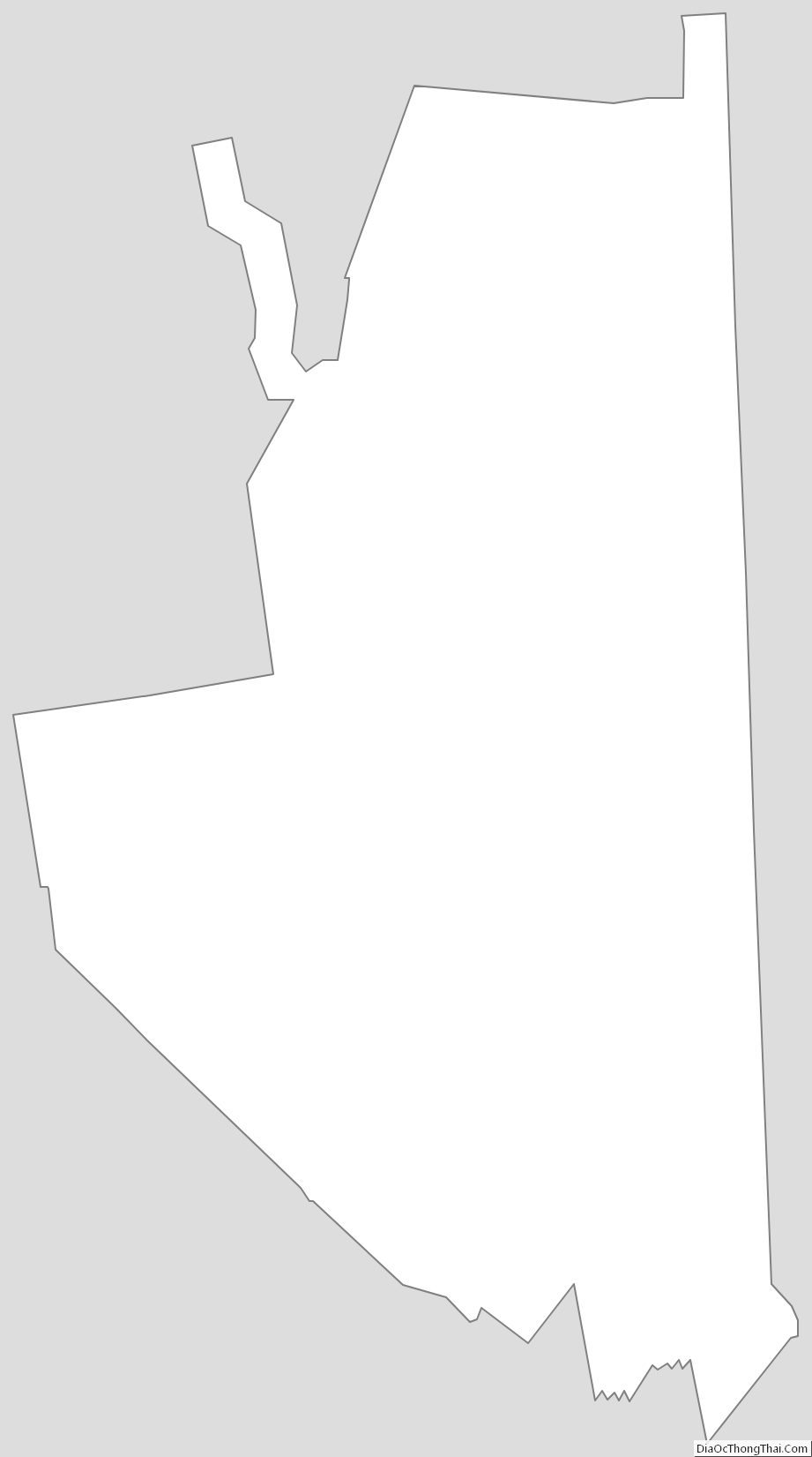
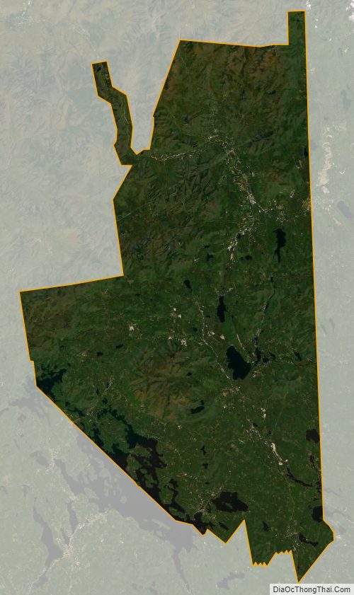
According to the U.S. Census Bureau, the county has a total area of 992 square miles (2,570 km), of which 931 square miles (2,410 km) is land and 61 square miles (160 km) (6.2%) is water. It is the third-largest county in New Hampshire by total area. Northern Carroll County is known for being mountainous. Several ski areas, including Cranmore Mountain, Attitash, King Pine, and Black Mountain, are located here. A salient along the northwestern margin of the county runs through Crawford Notch; the northern portion of the salient is within Crawford Notch State Park.
Adjacent counties
- Coos County (north)
- Oxford County, Maine (northeast)
- York County, Maine (southeast)
- Strafford County (south)
- Belknap County (southwest)
- Grafton County (west)
National protected area
- White Mountain National Forest (part)
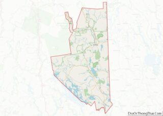
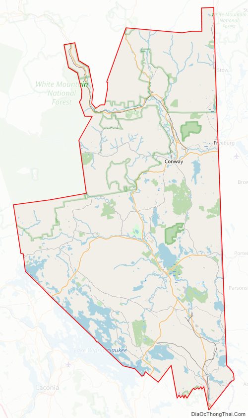
Carroll County Topographic Map
Carroll County Satellite Map
Carroll County Outline Map