Hillsborough County is the most populous county in the U.S. state of New Hampshire. As of the 2020 census, the population was 422,937, almost one-third the population of the entire state. Its county seats are Manchester and Nashua, the state’s two biggest cities. Hillsborough is northern New England’s most populous county as well as its most densely populated.
Hillsborough County comprises the Manchester-Nashua, NH Metropolitan Statistical Area, which in turn constitutes a portion of the Boston–Worcester–Providence, MA–RI–NH–CT Combined Statistical Area.
| Name: | Hillsborough County |
|---|---|
| FIPS code: | 33-011 |
| State: | New Hampshire |
| Founded: | 1769 |
| Named for: | The Earl of Hillsborough |
| Seat: | Manchester and Nashua |
| Largest city: | Manchester (by population) Weare (by area) |
| Total Area: | 892.5 sq mi (2,312 km²) |
| Land Area: | 876.5 sq mi (2,270 km²) |
| Total Population: | 422,937 |
| Population Density: | 470/sq mi (180/km²) |
| Time zone: | UTC−5 (Eastern) |
| Summer Time Zone (DST): | UTC−4 (EDT) |
| Website: | hcnh.org |
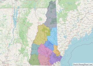
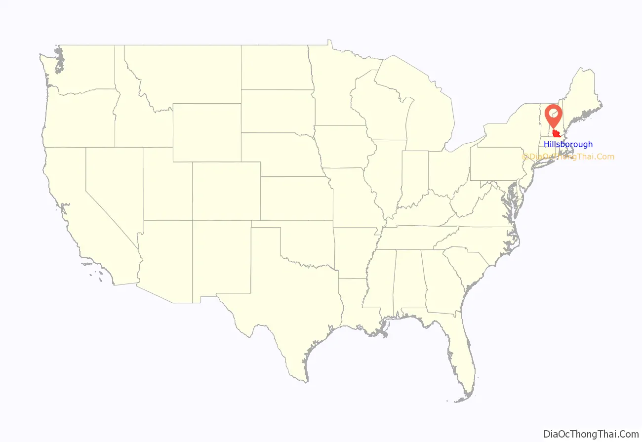
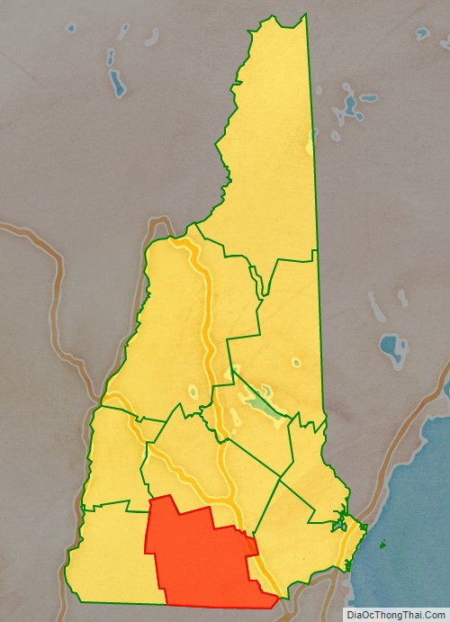
Hillsborough County location map. Where is Hillsborough County?
History
Hillsborough was one of the five original counties identified for New Hampshire in 1769, and was named for Wills Hill, 1st Earl of Hillsborough, who was British Secretary of State for the Colonies at the time. The county was formally organized at Amherst on March 19, 1771.
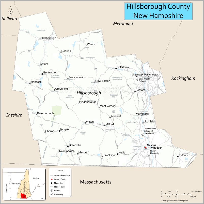
In 1823, twelve townships of Hillsborough Country – Andover, Boscawen, Bradford, Dunbarton, Fishersfield (now Newbury), Henniker, Hooksett, Hopkinton, New London, Salisbury, Sutton, and Warner – became part of Merrimack County. The town of Merrimack along the Merrimack River in south-central Hillsborough County was not included in the newly formed county 9 miles (14 km) to the north. Hillsborough County’s administrative functions were moved from Amherst to Milford in 1866, and then to the current seats of Manchester and Nashua in 1869.
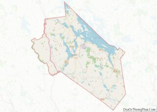
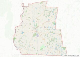
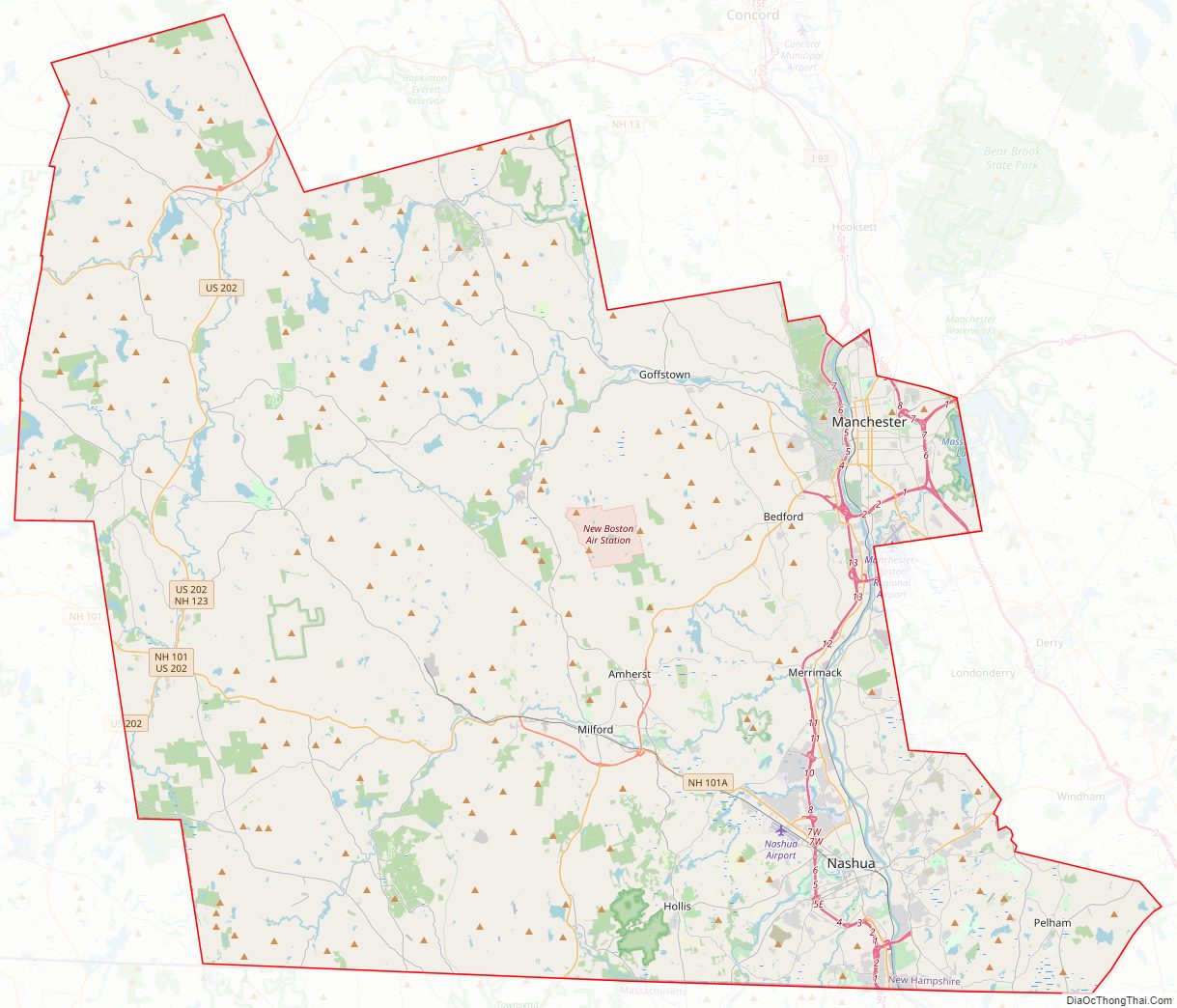
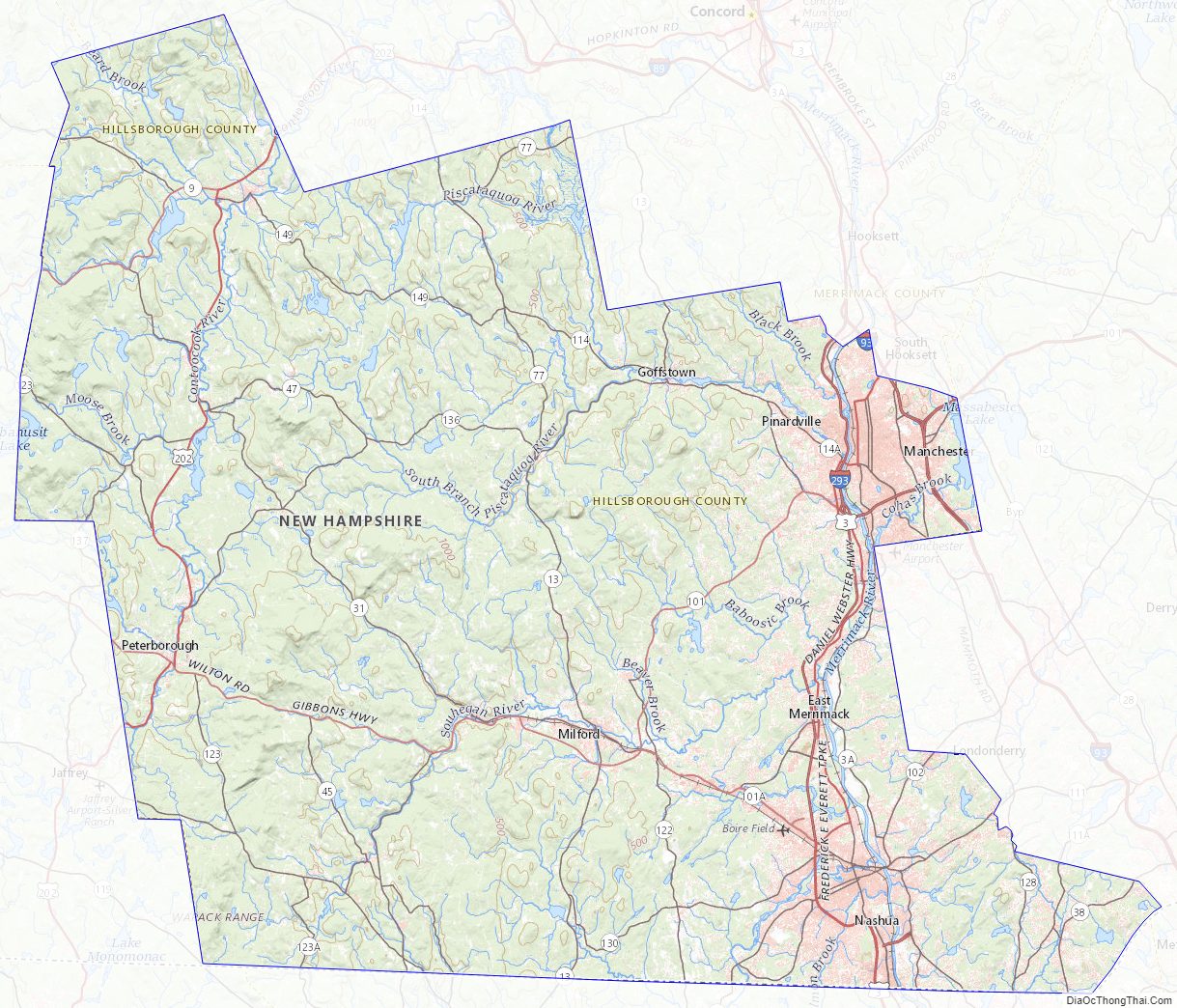
Hillsborough County Road Map
Geography
According to the U.S. Census Bureau, the county has a total area of 892 square miles (2,310 km), of which 876 square miles (2,270 km) is land and 16 square miles (41 km) (1.8%) is water. The highest point in Hillsborough county is Pack Monadnock Mountain at 2,290 feet (700 m).
Adjacent counties
- Merrimack County (north)
- Rockingham County (east)
- Essex County, Massachusetts (southeast)
- Middlesex County, Massachusetts (south)
- Worcester County, Massachusetts (southwest)
- Cheshire County (west)
- Sullivan County (northwest)
National protected area
- Wapack National Wildlife Refuge
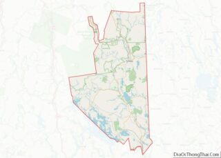
Hillsborough County Topographic Map
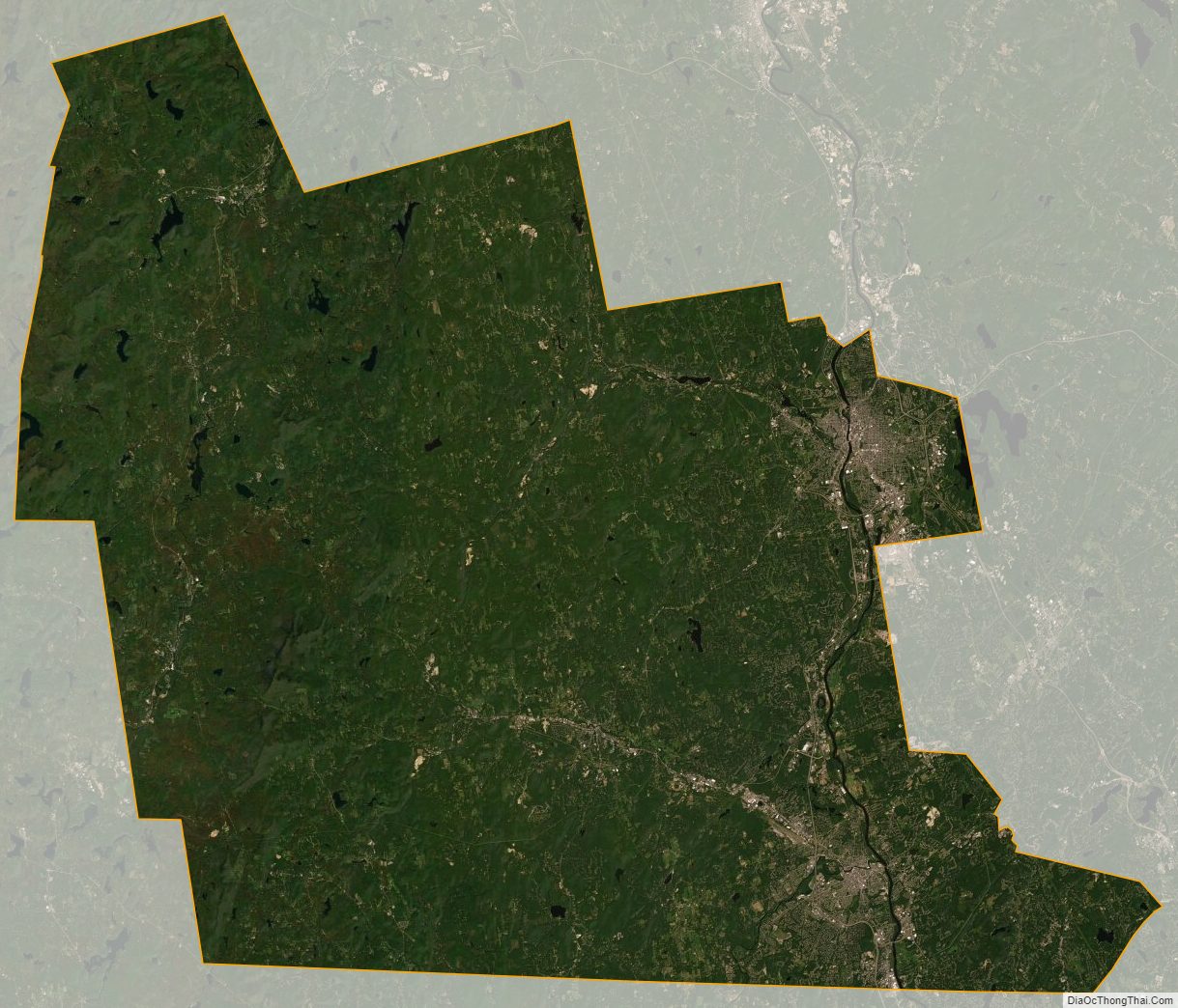
Hillsborough County Satellite Map
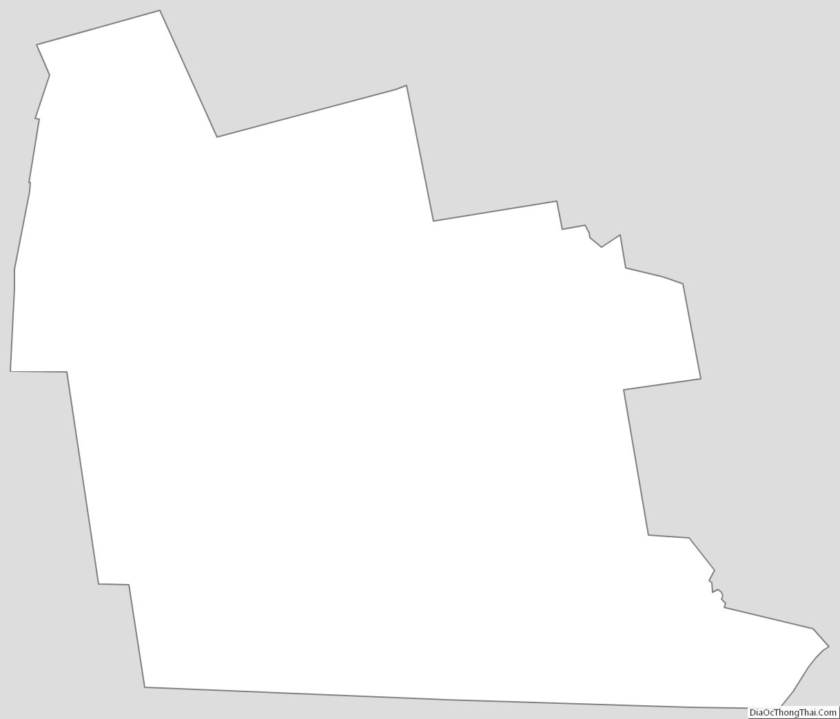
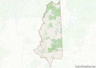
Hillsborough County Outline Map