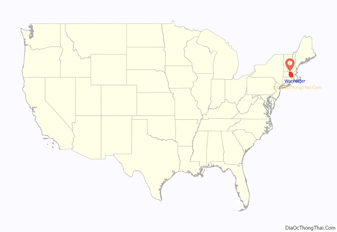
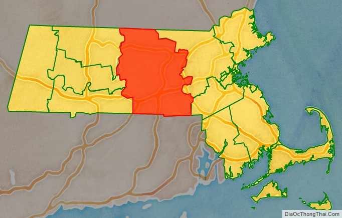
| Name: | Worcester County |
|---|---|
| FIPS code: | 25-027 |
| State: | Massachusetts |
| Founded: | April 2, 1731 |
| Named for: | Worcester, Massachusetts |
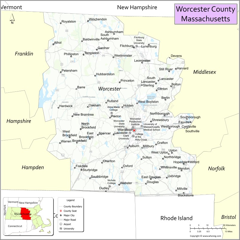
| Seat: | Worcester |
| Largest city: | Worcester |
| Total Area: | 1,579 sq mi (4,090 km²) |
| Land Area: | 1,511 sq mi (3,910 km²) |
| Total Population: | 862,111 |
| Population Density: | 570.7/sq mi (220.3/km²) |
| Time zone: | UTC−5 (Eastern) |
| Summer Time Zone (DST): | UTC−4 (EDT) |
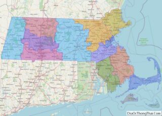
Worcester County location map. Where is Worcester County?
History
Worcester County was formed from the eastern portion of colonial Hampshire County, the western portion of the original Middlesex County and the extreme western portion of the original Suffolk County. When the government of Worcester County was established on April 2, 1731, Worcester was chosen as its shire town (later known as a county seat). From that date until the dissolution of the county government, it was the only county seat. Because of the size of the county, there were fifteen attempts over 140 years to split the county into two counties, but without success.
Initially, Lancaster was proposed as the seat of the northern county; later, Petersham was proposed once and Fitchburg was proposed repeatedly, most recently in 1903. Perhaps as a concession, in August 1884 the Worcester County Registry of Deeds was split in two, with the Worcester Northern registry placed in Fitchburg.
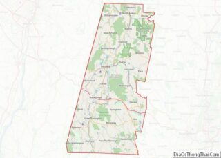
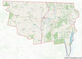
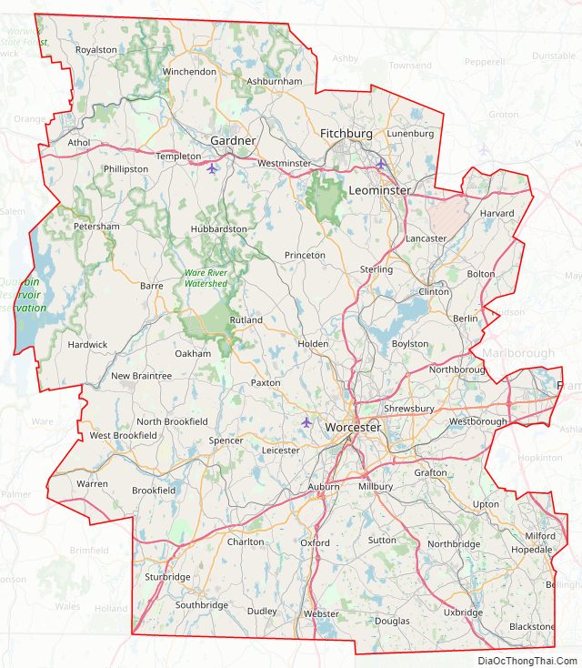
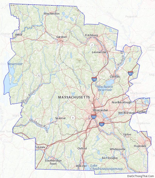
Worcester County Road Map
Geography
According to the U.S. Census Bureau, the county has a total area of 1,579 square miles (4,090 km), of which 1,511 square miles (3,910 km) is land and 68 square miles (180 km) (4.3%) is water.
It is the largest county in Massachusetts by area. The county is larger geographically than the entire state of Rhode Island even including Rhode Island’s water ocean limit boundaries. The county constitutes Central Massachusetts, separating the Greater Springfield area from the Greater Boston area. It stretches from the northern to the southern border of the state. The geographic center of Massachusetts is in Rutland.
Worcester County is one of two Massachusetts counties that borders three different neighboring states; the other being Berkshire County. They are also the only two counties to touch both the northern and southern state lines.
Adjacent counties
- Cheshire County, New Hampshire – north
- Hillsborough County, New Hampshire – north/northeast
- Middlesex County, Massachusetts – east/northeast
- Norfolk County, Massachusetts – east/southeast
- Providence County, Rhode Island – south/southeast
- Windham County, Connecticut – south
- Tolland County, Connecticut – south/southwest
- Hampden County, Massachusetts – west/southwest
- Hampshire County, Massachusetts – west
- Franklin County, Massachusetts – west/northwest
National protected areas
- Blackstone River Valley National Historical Park (part)
- Oxbow National Wildlife Refuge (part)
Worcester County Topographic Map
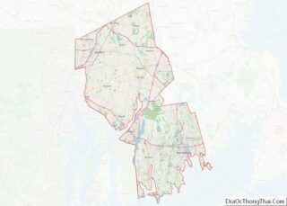
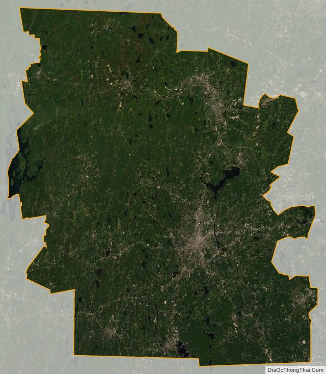
Worcester County Satellite Map
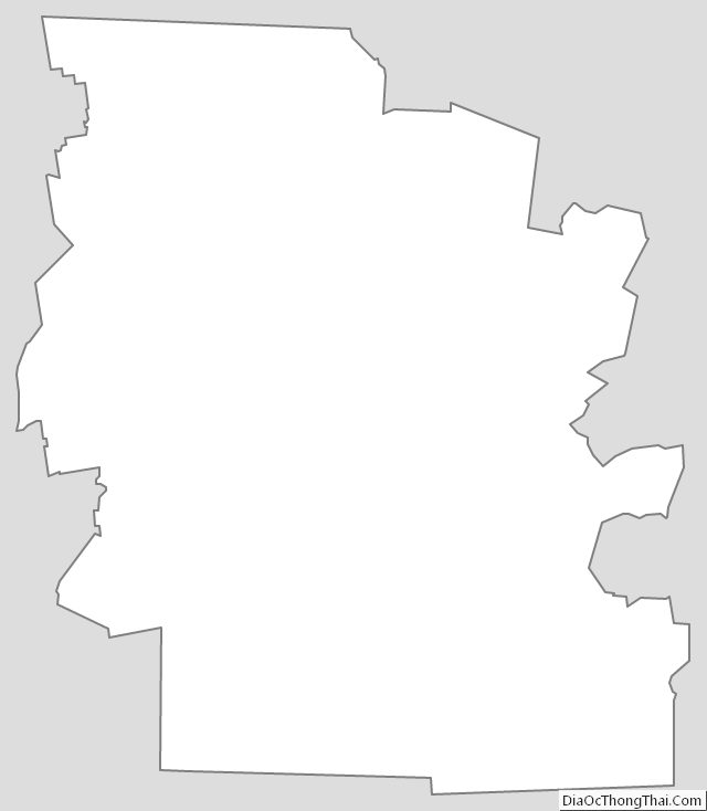
Worcester County Outline Map