Butler is a town in and the county seat of Choctaw County, Alabama, United States. The population was 1,894 at the 2010 census.
| Name: | Butler town |
|---|---|
| LSAD Code: | 43 |
| LSAD Description: | town (suffix) |
| State: | Alabama |
| County: | Choctaw County |
| Elevation: | 151 ft (46 m) |
| Total Area: | 6.75 sq mi (17.48 km²) |
| Land Area: | 6.75 sq mi (17.48 km²) |
| Water Area: | 0.00 sq mi (0.00 km²) |
| Total Population: | 1,871 |
| Population Density: | 277.14/sq mi (107.01/km²) |
| ZIP code: | 36904 |
| Area code: | 205, 659 |
| FIPS code: | 0111032 |
| GNISfeature ID: | 2405351 |
| Website: | www.butleralabama.org |
Online Interactive Map
Click on ![]() to view map in "full screen" mode.
to view map in "full screen" mode.
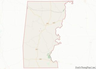
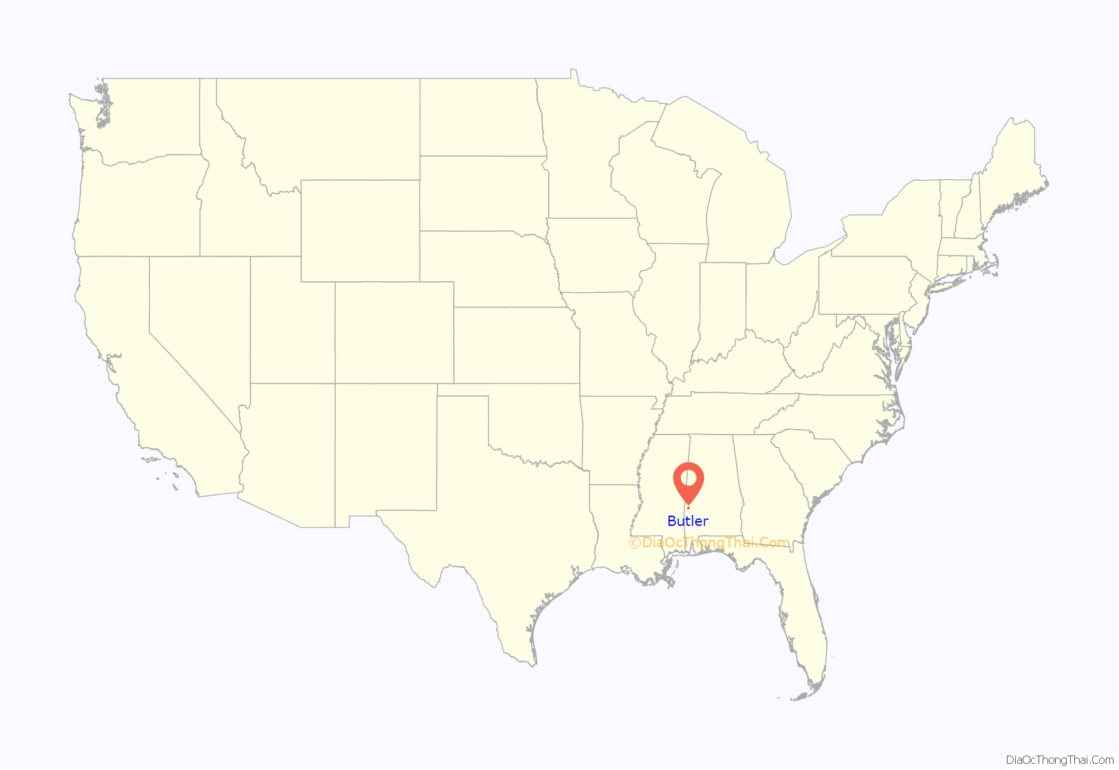
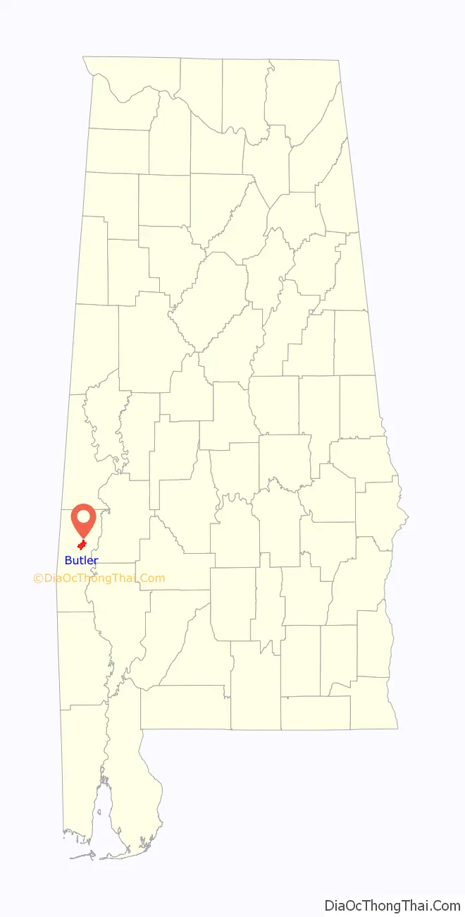
Butler location map. Where is Butler town?
History
When Choctaw County was formed in 1847, Butler was created as the county seat. The town was located and settled in 1848. It is named in honor of Colonel Pierce Butler, a soldier killed in the Mexican–American War.
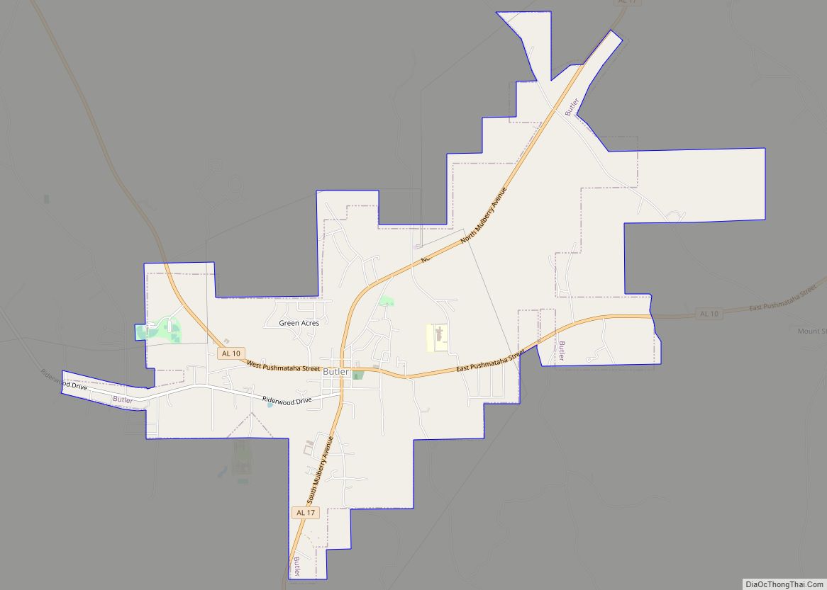
Butler Road Map
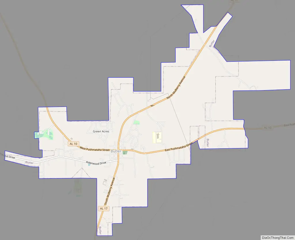
Butler city Satellite Map

Geography
Butler is located in north-central Choctaw County at 32°5′29″N 88°13′14.46″W / 32.09139°N 88.2206833°W / 32.09139; -88.2206833 (32.091526, −88.220684).
According to the United States Census Bureau, the town had a total area of 5.6 square miles (14.4 km), all land.
Climate
According to the Köppen climate classification, Butler has a humid subtropical climate (abbreviated Cfa).
See also
Map of Alabama State and its subdivision:- Autauga
- Baldwin
- Barbour
- Bibb
- Blount
- Bullock
- Butler
- Calhoun
- Chambers
- Cherokee
- Chilton
- Choctaw
- Clarke
- Clay
- Cleburne
- Coffee
- Colbert
- Conecuh
- Coosa
- Covington
- Crenshaw
- Cullman
- Dale
- Dallas
- De Kalb
- Elmore
- Escambia
- Etowah
- Fayette
- Franklin
- Geneva
- Greene
- Hale
- Henry
- Houston
- Jackson
- Jefferson
- Lamar
- Lauderdale
- Lawrence
- Lee
- Limestone
- Lowndes
- Macon
- Madison
- Marengo
- Marion
- Marshall
- Mobile
- Monroe
- Montgomery
- Morgan
- Perry
- Pickens
- Pike
- Randolph
- Russell
- Saint Clair
- Shelby
- Sumter
- Talladega
- Tallapoosa
- Tuscaloosa
- Walker
- Washington
- Wilcox
- Winston
- Alabama
- Alaska
- Arizona
- Arkansas
- California
- Colorado
- Connecticut
- Delaware
- District of Columbia
- Florida
- Georgia
- Hawaii
- Idaho
- Illinois
- Indiana
- Iowa
- Kansas
- Kentucky
- Louisiana
- Maine
- Maryland
- Massachusetts
- Michigan
- Minnesota
- Mississippi
- Missouri
- Montana
- Nebraska
- Nevada
- New Hampshire
- New Jersey
- New Mexico
- New York
- North Carolina
- North Dakota
- Ohio
- Oklahoma
- Oregon
- Pennsylvania
- Rhode Island
- South Carolina
- South Dakota
- Tennessee
- Texas
- Utah
- Vermont
- Virginia
- Washington
- West Virginia
- Wisconsin
- Wyoming