| Name: | Clatsop County |
|---|---|
| FIPS code: | 41-007 |
| State: | Oregon |
| Founded: | June 22, 1844 |
| Named for: | Clatsop Tribe |
| Seat: | Astoria |
| Largest city: | Astoria |
| Total Area: | 1,084 sq mi (2,810 km²) |
| Land Area: | 829 sq mi (2,150 km²) |
| Total Population: | 41,072 |
| Population Density: | 38/sq mi (15/km²) |
| Website: | www.co.clatsop.or.us |
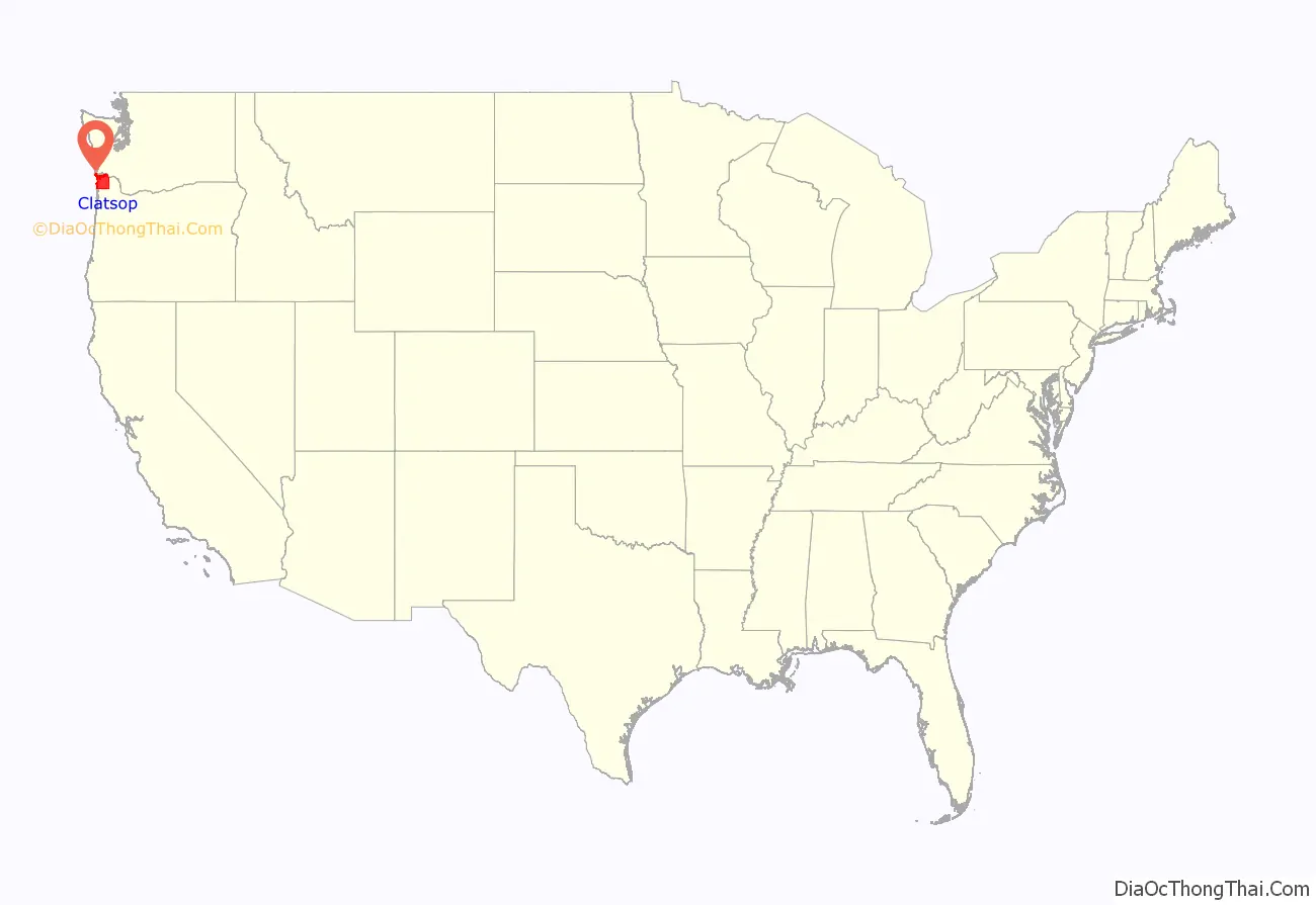
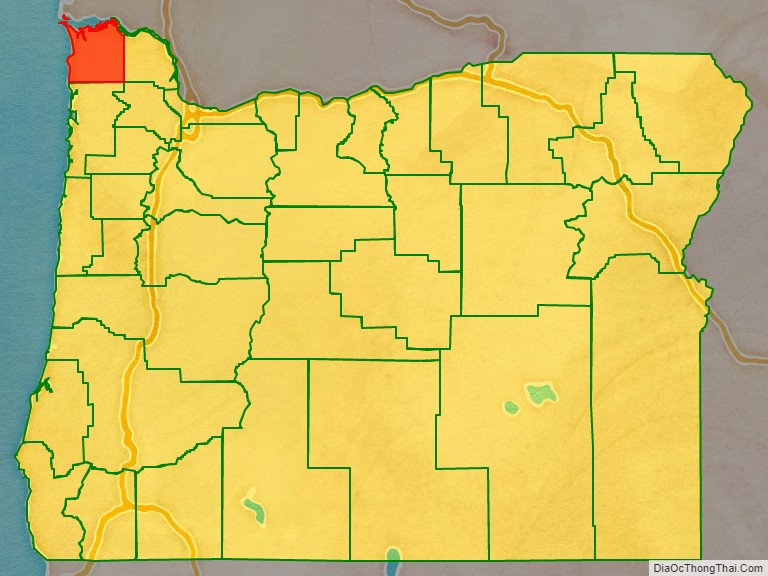
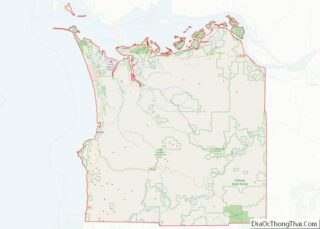
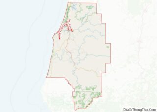
Clatsop County location map. Where is Clatsop County?
History
The Lewis and Clark Expedition stayed for the winter of 1805–6 in the area, establishing Fort Clatsop as one of the earliest American structures on the west coast of North America. Astoria, Oregon’s oldest settlement, was established as a fur trading post in 1811 and named after John Jacob Astor.
Clatsop County was created from the northern and western portions of the original Twality District on June 22, 1844. Until the creation of Vancouver District five days later, Clatsop County extended north across the Columbia into present-day Washington. The Provisional and Territorial Legislatures further altered Clatsop County’s boundaries in 1845 and 1853.
Before 1850 most of Clatsop County’s government activity occurred in Lexington, a community located where Warrenton is now. However, commercial and social activities came to center on Astoria as that city grew, and an election in 1854 chose Astoria to be the new county seat.
Fort Stevens, located near the peninsula formed by the south shore of the Columbia river and the Pacific Ocean, became the only continental US military installation attacked in World War II, when submarine I-25 of the Imperial Japanese Navy fired 17 rounds at the base on June 21, 1942. The submarine escaped when the order was given not to return fire with the 10-inch (250 mm) shore guns. While the damage caused was slight (reportedly only a baseball backstop was damaged and a powerline severed), the presence of the enemy ship sowed panic along the Pacific coast of the United States, and other minor attacks occurred elsewhere in the region, including Vancouver Island.
In 1975, Clatsop County commissioners considered seceding from Oregon and becoming a part of Washington. The movement was based on disagreements residents of the county had with Governor Bob Straub. The movement was created after Alumax Corporation canceled their plans to build a plant in the county. Some residents, including two county commissioners, blamed the Oregon Governor for the relocation of the plant. The State of Washington’s Governor, Daniel J. Evans, said the county was not welcome in the state and Clatsop County commissioners later abandoned the idea.
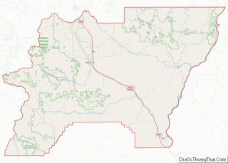
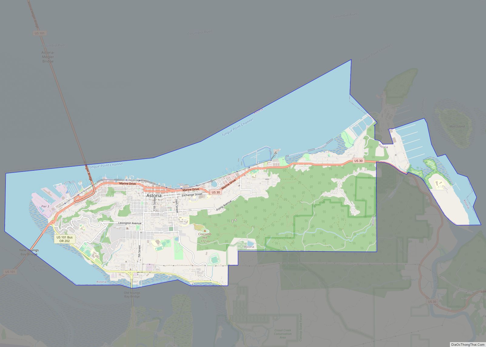
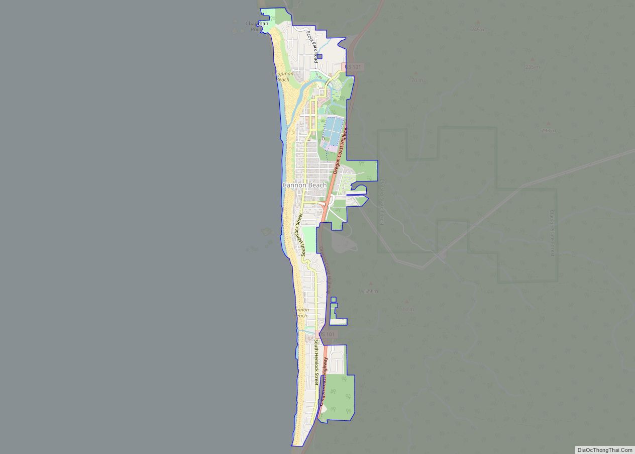
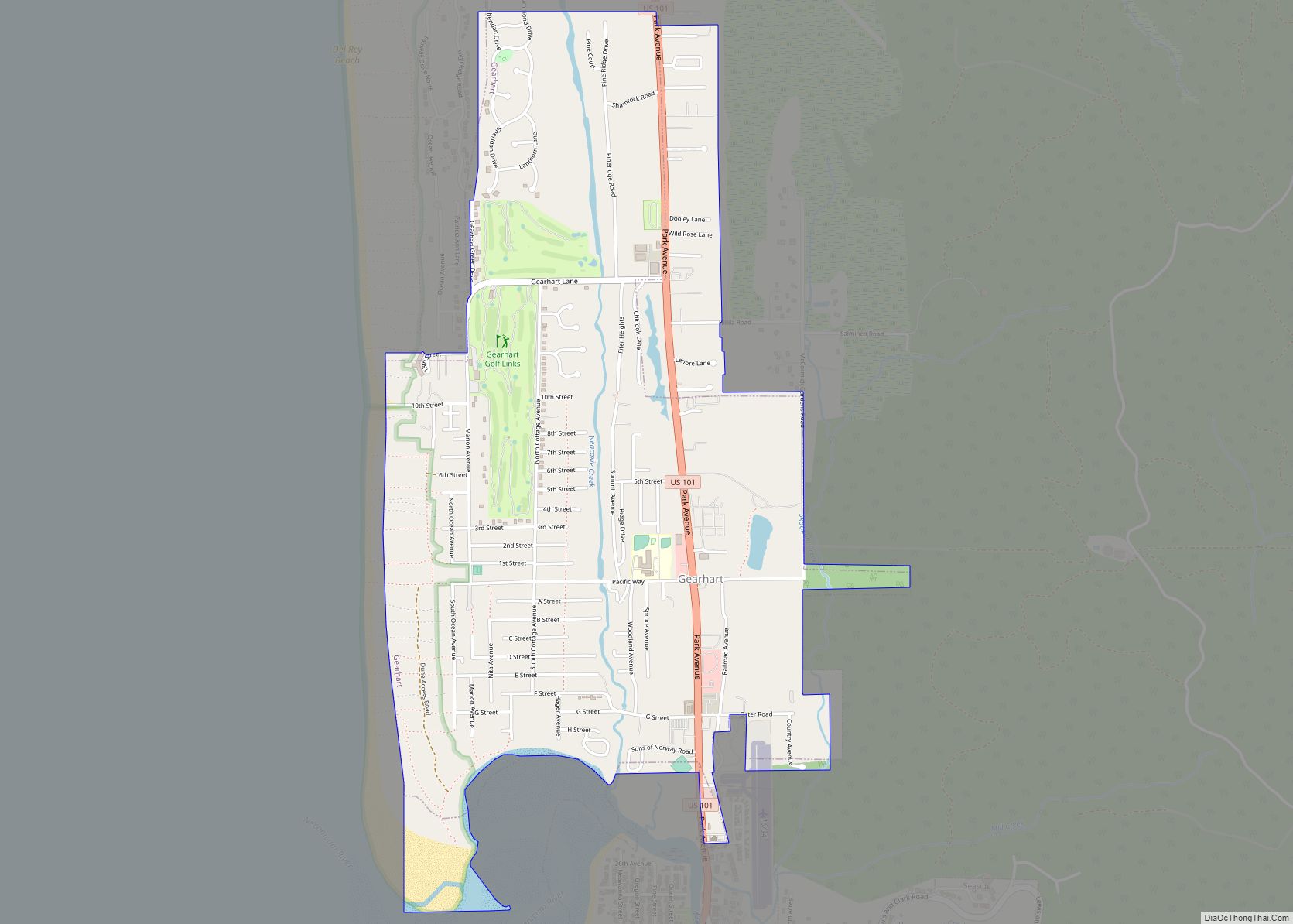
Clatsop County Road Map
Geography
According to the U.S. Census Bureau, the county has a total area of 1,084 square miles (2,810 km), of which 829 square miles (2,150 km) is land and 255 square miles (660 km) (24%) is water. The highest point is Saddle Mountain at 3,283 feet (1,001 m), part of the Northern Oregon Coast Range.
Major highways
- U.S. Route 26
- U.S. Route 30
- U.S. Route 101
National protected areas
- Julia Butler Hansen National Wildlife Refuge (part)
- Lewis and Clark National Historical Park (part)
- Lewis and Clark National Wildlife Refuge
- Oregon Islands National Wildlife Refuge (part)
