Warrenton is a small, coastal city in Clatsop County, Oregon, United States. Named for D.K. (Daniel Knight) Warren, an early settler, the town is primarily a fishing and logging community. The population was 6,277 according to the 2020 US Census. Warrenton is a less urbanized area close to the Clatsop County seat, Astoria.
| Name: | Warrenton city |
|---|---|
| LSAD Code: | 25 |
| LSAD Description: | city (suffix) |
| State: | Oregon |
| County: | Clatsop County |
| Incorporated: | 1899 |
| Elevation: | 8 ft (2.4 m) |
| Total Area: | 17.03 sq mi (44.11 km²) |
| Land Area: | 12.66 sq mi (32.78 km²) |
| Water Area: | 4.37 sq mi (11.33 km²) |
| Total Population: | 6,277 |
| Population Density: | 495.93/sq mi (191.49/km²) |
| ZIP code: | 97146 |
| Area code: | 503 and 971 |
| FIPS code: | 4178900 |
| GNISfeature ID: | 1136879 |
| Website: | www.ci.warrenton.or.us |
Online Interactive Map
Click on ![]() to view map in "full screen" mode.
to view map in "full screen" mode.
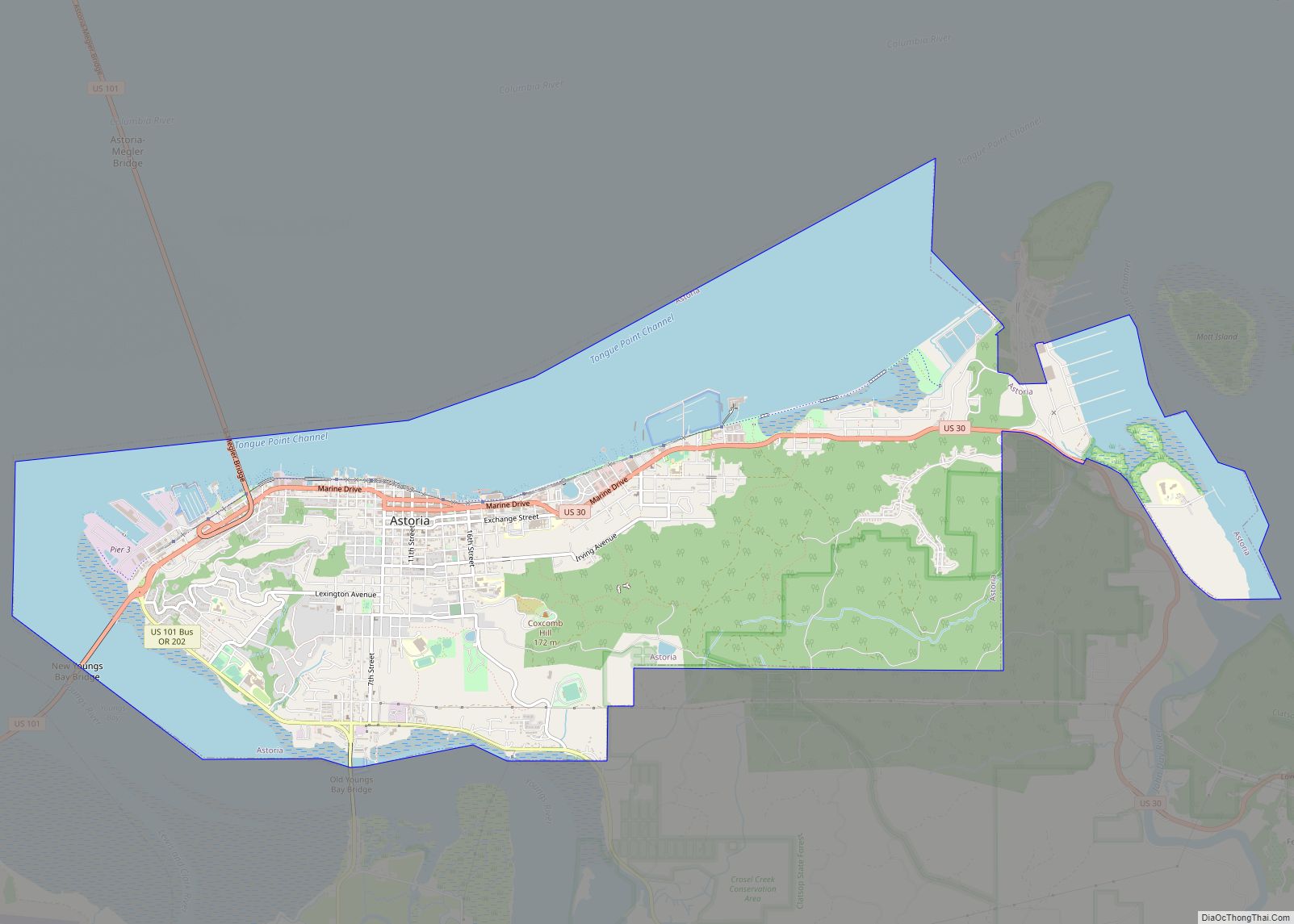
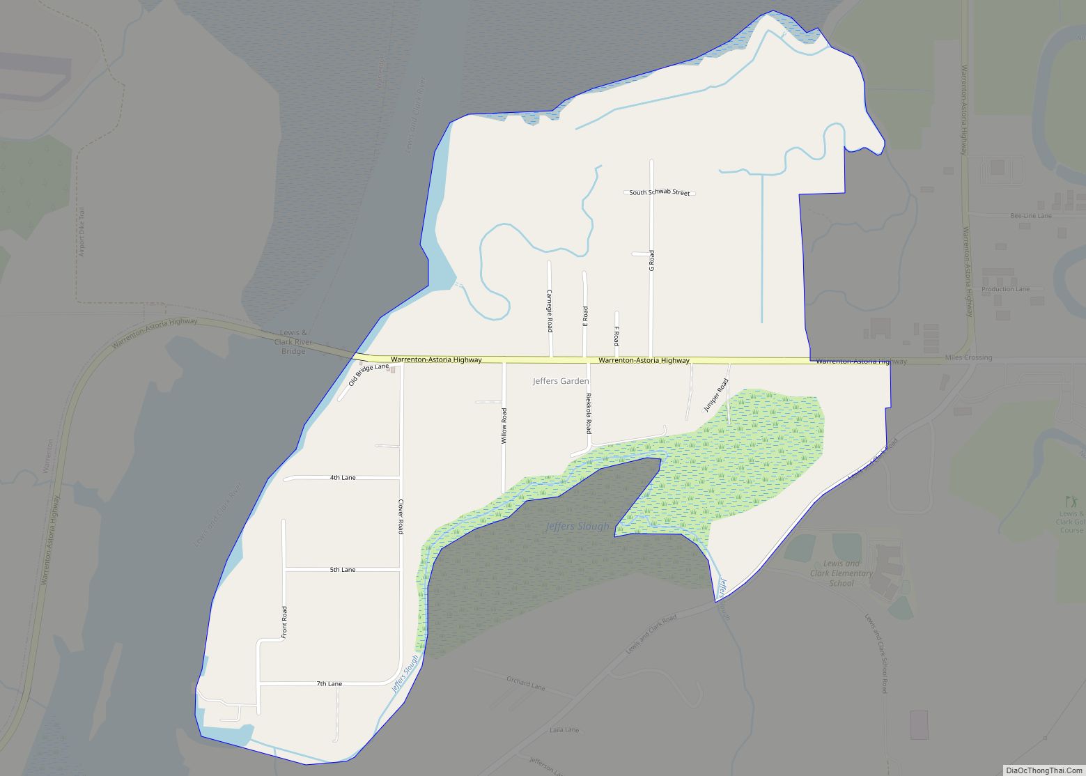
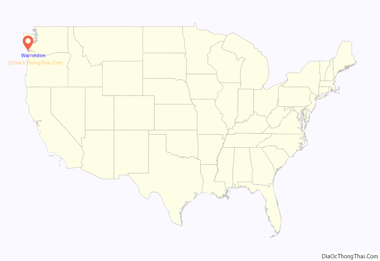
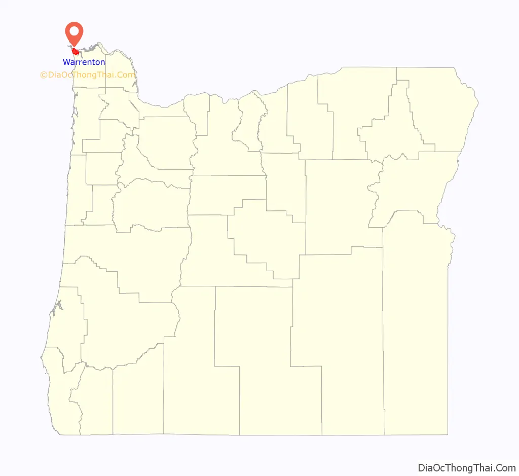
Warrenton location map. Where is Warrenton city?
History
Prior to the arrival of the first settlers, this land was inhabited by the Clatsop tribe of Native Americans, whose tribe spanned from the south shore of the Columbia River to Tillamook Head. The county in which Warrenton is located was named after these people, as well as the last encampment that the Lewis and Clark Expedition established. Today, a replica of Fort Clatsop still stands just outside of Warrenton city limits.
The first pioneers who settled on the land that would become Warrenton (between 1845 and the early 1850s) were Jeremiah Gerome Tuller, J. W. Wallace, D. E. Pease, Ninian A. Eberman and George Washington Coffenbury. Coffenbury remains a household name in the town, as a local lake in Fort Stevens was named after him.
The first settlement within Warrenton city limits was Lexington, which was laid out in 1848, and served as the first county seat for Clatsop County. The name fell out of use for a time, and the area became known as Skipanon – a name that is now preserved by the Skipanon River, which flows through the town. A Lexington post office operated intermittently between 1850 and 1857; a Skipanon post office operated continuously from 1871 to 1903.
In 1863, the military battery, Fort Stevens, was built in the Warrenton area near the mouth of the Columbia River. Though military activity ceased in 1947, the remains of the fort are preserved as part of Lewis and Clark National Historical Park.
Very few improvements were made to the land until the early 1870s, when D. K. Warren bought out some of the first settlers. With the help of Chinese labor, Warren reclaimed a large tract of the land by constructing a dike about 2.5 miles (4.0 km) in length, which was completed in 1878. Warren laid out the town in about 1891, and in the following year built the first schoolhouse, at a cost of $1,100, and gave it to the school district.
Warrenton was platted in 1889 and incorporated as a city in 1899. Built on tidal flats, it relied on a system of dikes built by Chinese laborers to keep the Columbia River from flooding the town.
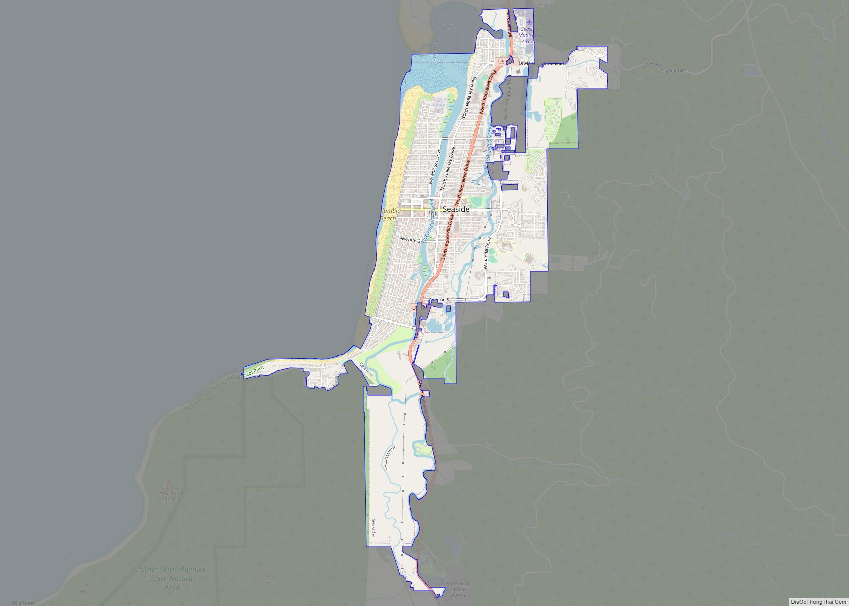
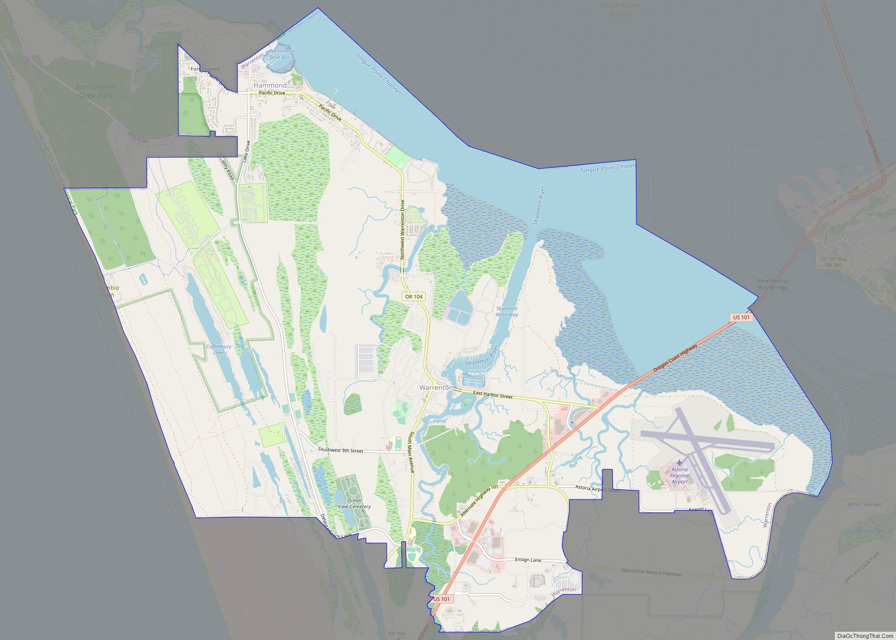
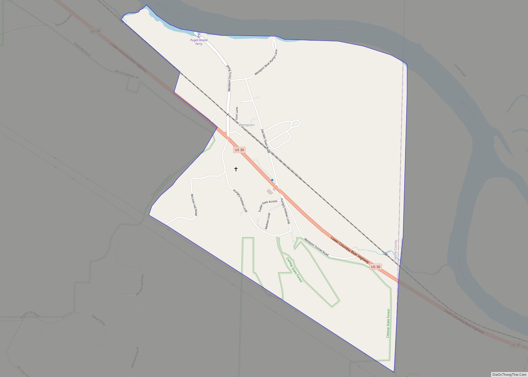
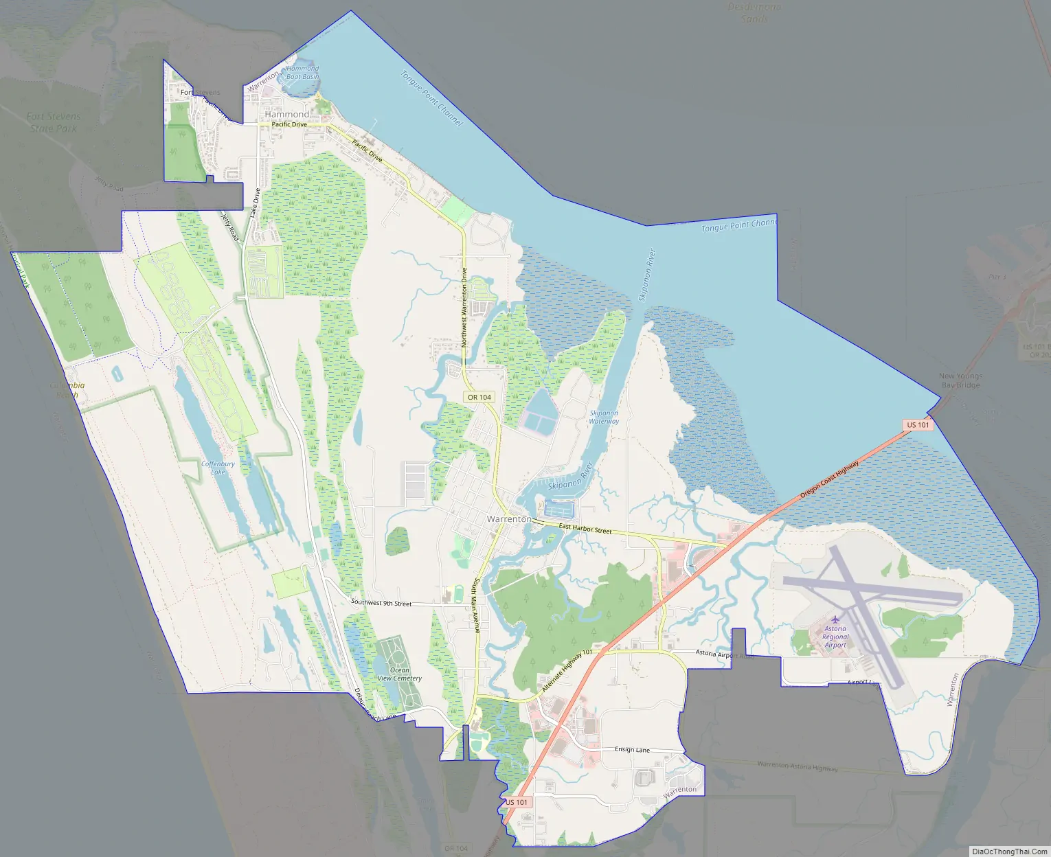
Warrenton Road Map
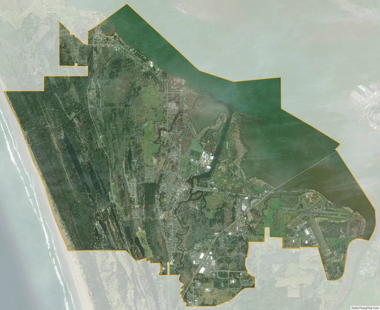
Warrenton city Satellite Map
Geography
Standing at the northwestern extreme of Oregon, Warrenton is about 5 miles (8.0 km) west of Astoria, across the Youngs Bay bridge, which spans over 4,200 feet (1,300 m) of the Youngs Bay estuary at the mouth of the Columbia River.
According to the United States Census Bureau, the city has a total area of 17.66 square miles (45.74 km), 12.77 square miles (33.07 km) of which is land and 4.89 square miles (12.67 km) is water.
Warrenton has one charter fishing port in Hammond and a major commercial fishing port in downtown Warrenton.
Community
Warrenton is made up of the previously individual communities of Flavel, Fort Stevens, Hammond, Lexington, and Skipanon. The Fort Stevens post office operated at the Fort Stevens military post from 1899 to 1949. Hammond voted to disincorporate in November 1991 and merged with Warrenton on December 5. Hammond was named for lumberman Andrew B. Hammond, who completed the Astoria and Columbia River Railroad. Hammond, originally the site of a Clatsop village called Ne-ahk-stow, has its own ZIP Code of 97121, but is now technically part of Warrenton.
Climate
This region experiences mildly warm and dry summers, with no average monthly temperatures above 71.6 °F (22.0 °C). It’s typically overcast or rainy due to its proximity to the ocean, but it does have some sunshine. According to the Köppen Climate Classification system, Warrenton has a warm-summer Mediterranean climate, abbreviated “Csb” on climate maps.
See also
Map of Oregon State and its subdivision: Map of other states:- Alabama
- Alaska
- Arizona
- Arkansas
- California
- Colorado
- Connecticut
- Delaware
- District of Columbia
- Florida
- Georgia
- Hawaii
- Idaho
- Illinois
- Indiana
- Iowa
- Kansas
- Kentucky
- Louisiana
- Maine
- Maryland
- Massachusetts
- Michigan
- Minnesota
- Mississippi
- Missouri
- Montana
- Nebraska
- Nevada
- New Hampshire
- New Jersey
- New Mexico
- New York
- North Carolina
- North Dakota
- Ohio
- Oklahoma
- Oregon
- Pennsylvania
- Rhode Island
- South Carolina
- South Dakota
- Tennessee
- Texas
- Utah
- Vermont
- Virginia
- Washington
- West Virginia
- Wisconsin
- Wyoming