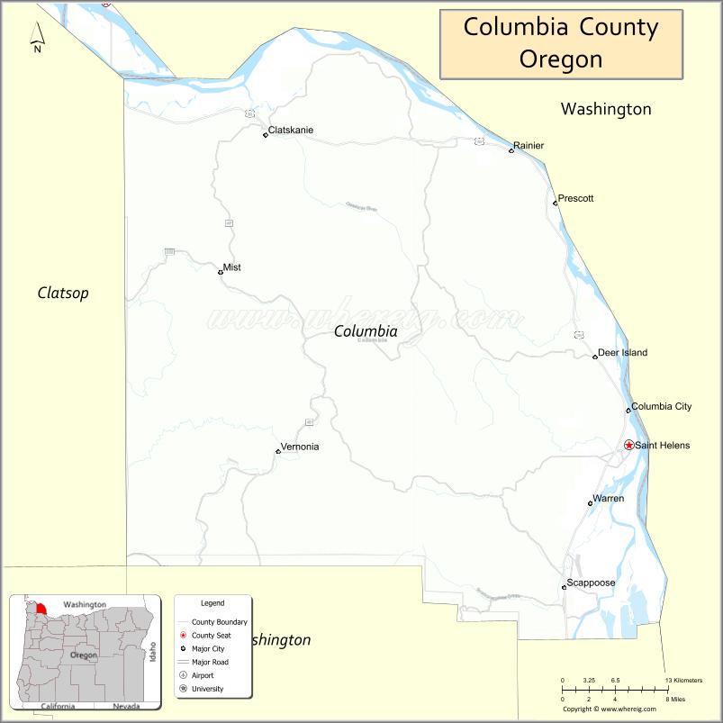
Columbia County is one of the 36 counties in the U.S. state of Oregon. As of the 2020 census, the population was 52,589. The county seat is St. Helens.
| Name: | Columbia County |
|---|---|
| FIPS code: | 41-009 |
| State: | Oregon |
| Founded: | January 16, 1854 |
| Named for: | Columbia River |
| Seat: | St. Helens |
| Largest city: | St. Helens |
| Total Area: | 688 sq mi (1,780 km²) |
| Land Area: | 657 sq mi (1,700 km²) |
| Total Population: | 52,589 |
| Population Density: | 75/sq mi (29/km²) |
| Time zone: | UTC−8 (Pacific) |
| Summer Time Zone (DST): | UTC−7 (PDT) |
| Website: | www.columbiacountyor.gov |
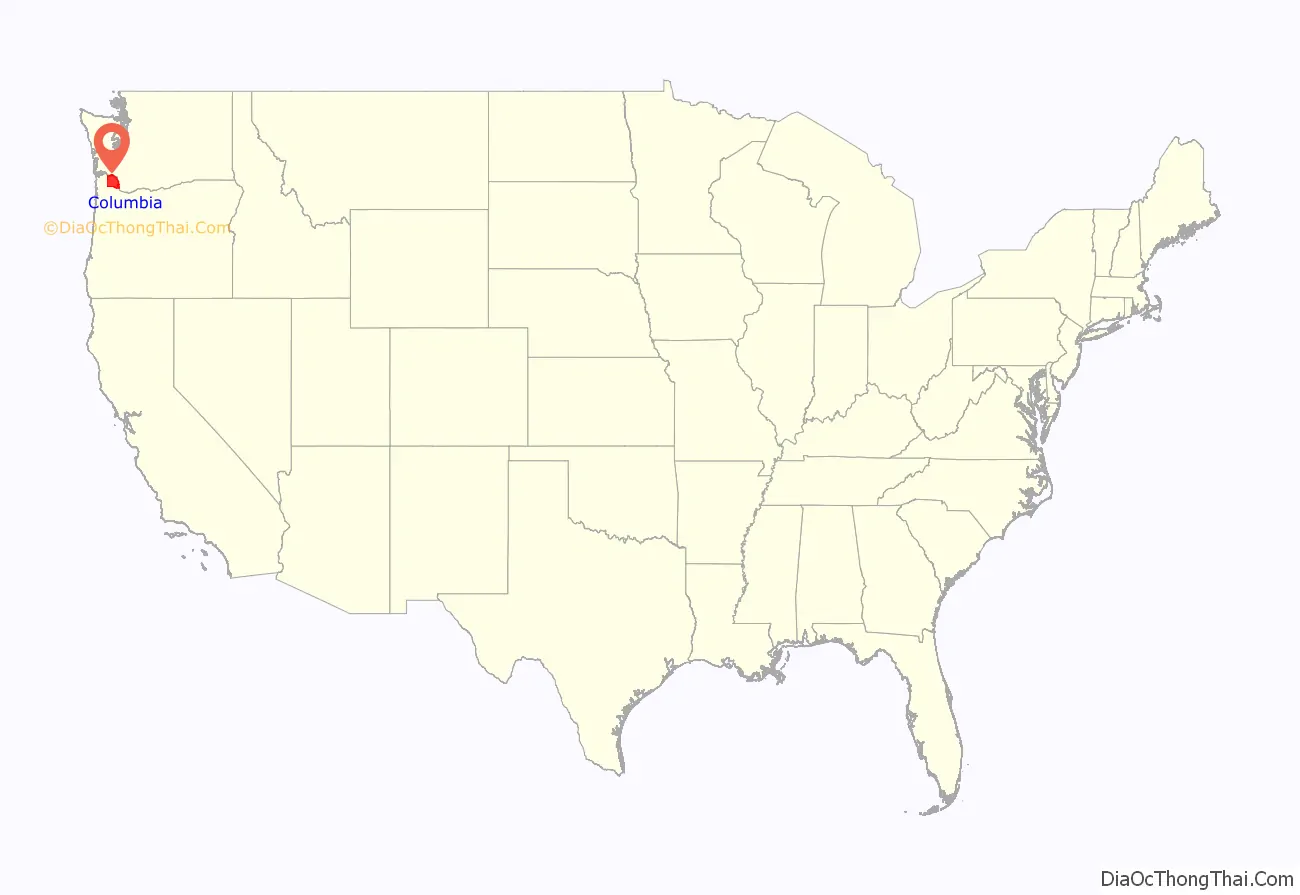
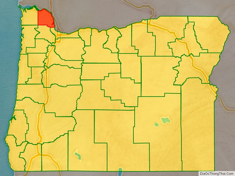
Columbia County location map. Where is Columbia County?
History
The Chinook and Clatskanie Native American peoples inhabited this region for centuries prior to the arrival of Robert Gray, captain of the ship Columbia Rediviva, in 1792. The Lewis and Clark Expedition traveled and camped along the Columbia River shore in the area later known as Columbia County in late 1805 and again on their return journey in early 1806.
Columbia County was created in 1854 from the northern half of Washington County. Milton served as the county seat until 1857 when it was moved to St. Helens.
Columbia County has been afflicted by numerous flooding disasters, the most recent in December 2007. Heavy rains caused the Nehalem River to escape its banks and flood the city of Vernonia and rural areas nearby. Columbia County received a presidential disaster declaration for this event.
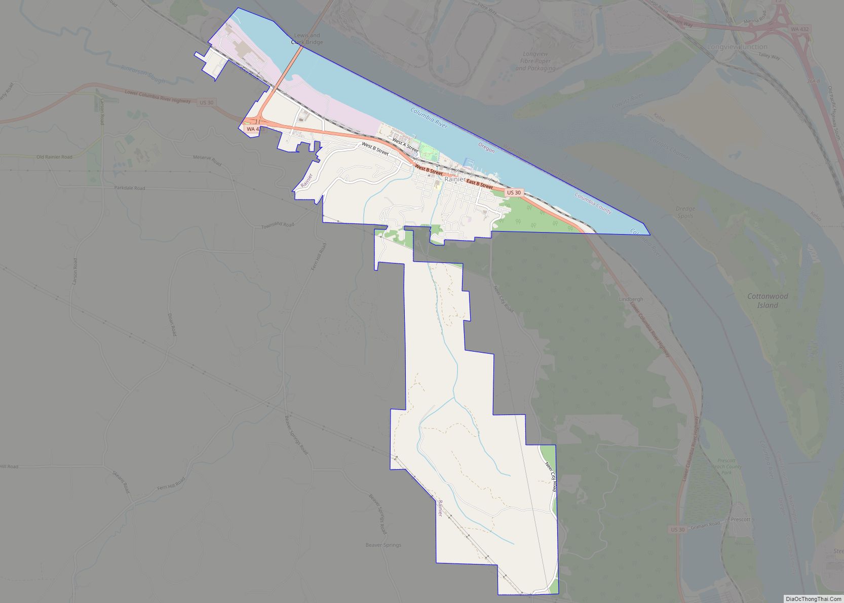
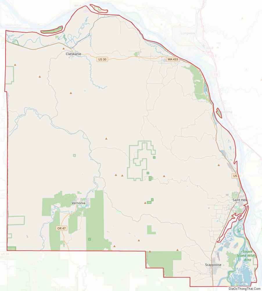
Columbia County Road Map
Geography
According to the United States Census Bureau, the county has an area of 688 square miles (1,780 km), of which 657 square miles (1,700 km) is land and 31 square miles (80 km) (4.5%) is water. It is Oregon’s third-smallest county by land area and fourth-smallest by total area.
Adjacent counties
- Wahkiakum County, Washington (northwest)
- Cowlitz County, Washington (northeast)
- Clark County, Washington (east)
- Multnomah County (southeast)
- Washington County (south)
- Clatsop County (west)
National protected area
- Julia Butler Hansen National Wildlife Refuge (part)
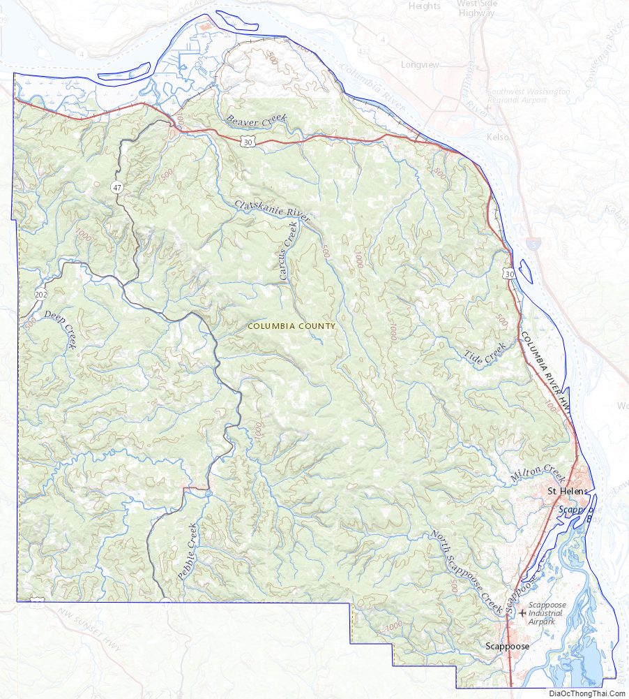
Columbia County Topographic Map
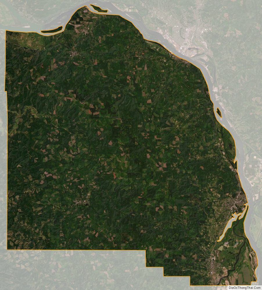
Columbia County Satellite Map
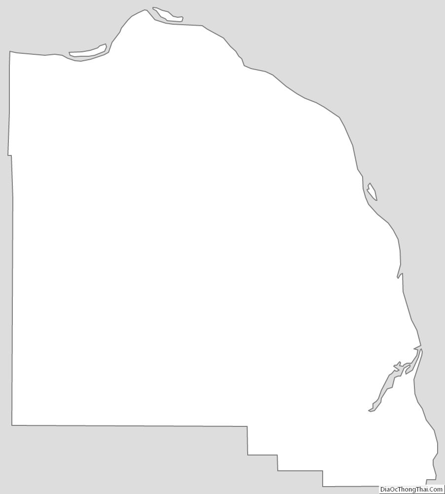
Columbia County Outline Map