| Name: | Benton County |
|---|---|
| FIPS code: | 41-003 |
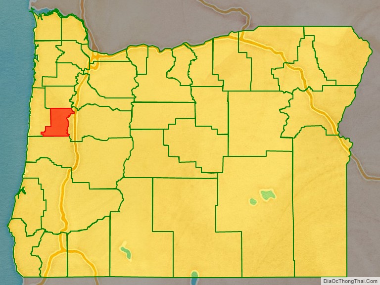
| State: | Oregon |
| Founded: | December 23, 1847 |
| Named for: | Thomas H. Benton |
| Seat: | Corvallis |
| Largest city: | Corvallis |
| Total Area: | 679 sq mi (1,760 km²) |
| Land Area: | 676 sq mi (1,750 km²) |
| Total Population: | 95,184 |
| Population Density: | 127/sq mi (49/km²) |
| Time zone: | UTC−8 (Pacific) |
| Summer Time Zone (DST): | UTC−7 (PDT) |
| Website: | www.co.benton.or.us |
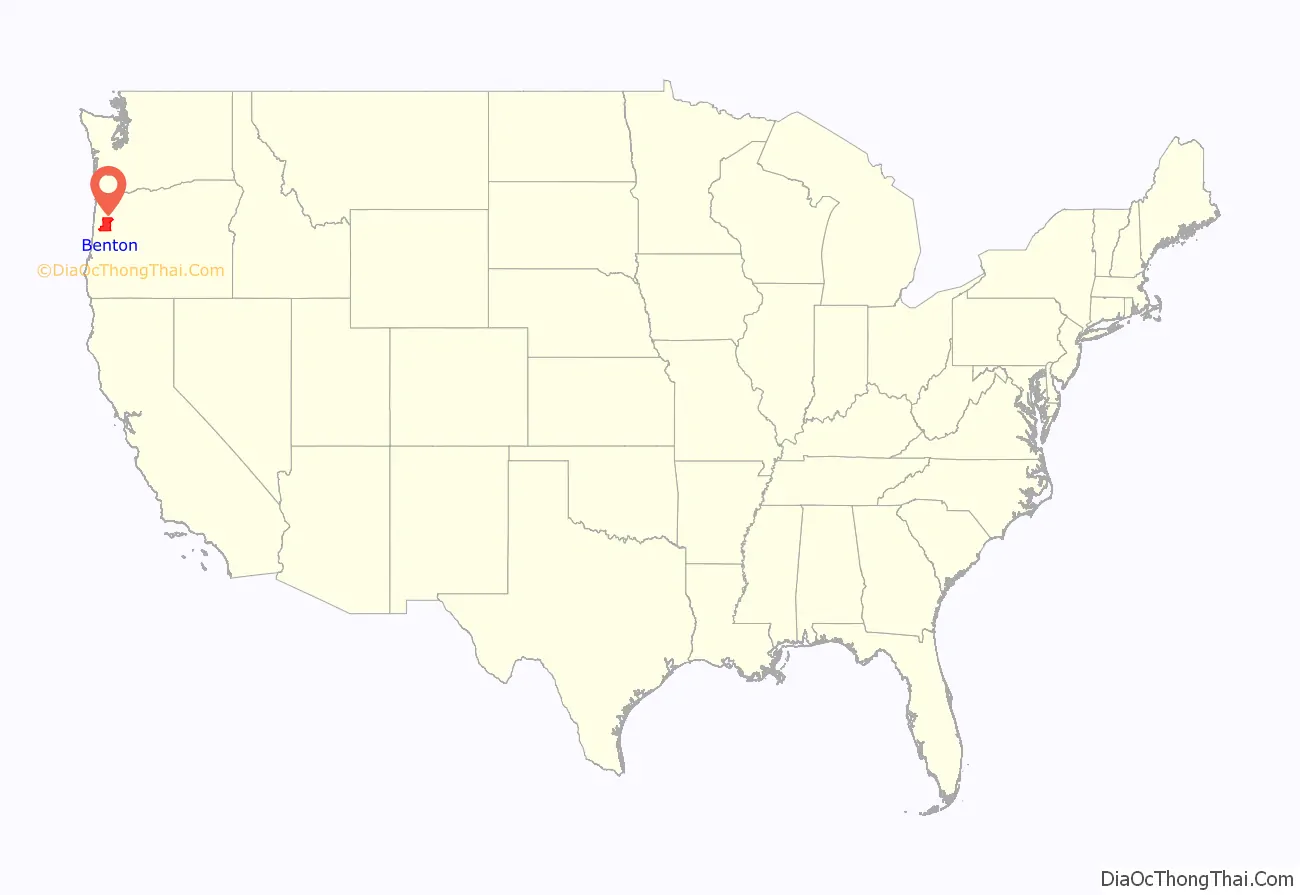
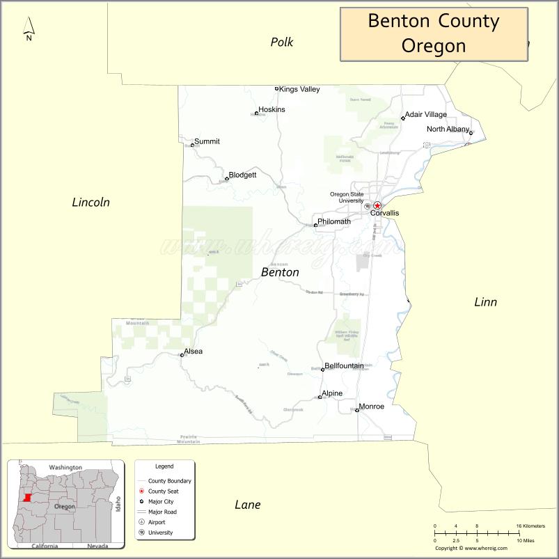
Benton County location map. Where is Benton County?
History
Benton County was created on December 23, 1847, by an act of the Provisional Government of Oregon. The county was named after Democratic Senator Thomas Hart Benton of Missouri, an advocate of the doctrine of Manifest Destiny and the belief that the American government should control the whole of the Oregon Country. At the time of its formation the county included all the country west of the Willamette River, south of Polk County and running all the way to the California border in the south and the Pacific Ocean in the west.
The county was created out of lands originally inhabited by the Klickitat, who rented it from the Kalapuyas for use as hunting grounds. All aboriginal claims to land within Benton County were ceded in the Treaty of Dayton in 1855. Portions of Benton County were taken to form Coos, Curry, Douglas, Jackson, Josephine, Lane and Lincoln Counties, leaving Benton County in its present form.
The city of Marysville, later renamed Corvallis, was made the county seat in 1851. The city briefly was the capital of Oregon. In 1862 Corvallis became the site of the Oregon State Agricultural College, known today as Oregon State University.
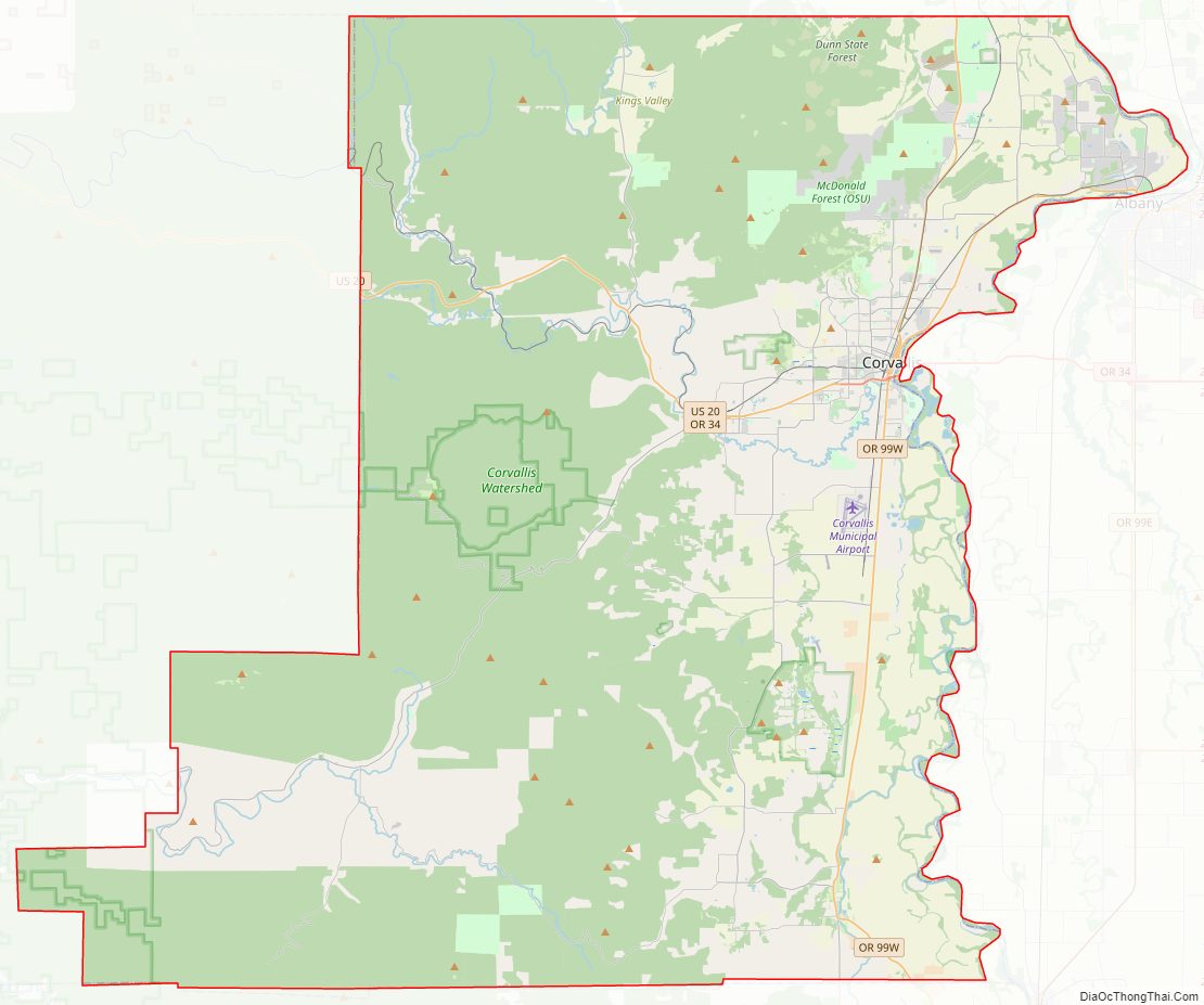
Benton County Road Map
Geography
According to the United States Census Bureau, the county has a total area of 679 square miles (1,760 km), of which 676 square miles (1,750 km) is land and 2.7 square miles (7.0 km) (0.4%) is water. It is the fourth-smallest county in Oregon by land area and third-smallest by total area.
Adjacent counties
- Polk County (north)
- Lincoln County (west)
- Linn County (east)
- Lane County (south)
National protected areas
- Siuslaw National Forest (part)
- William L. Finley National Wildlife Refuge
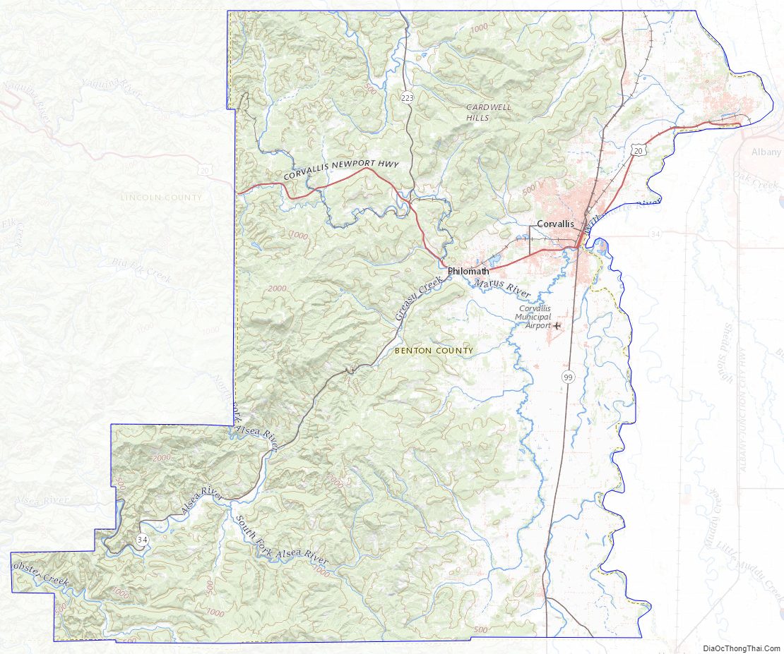
Benton County Topographic Map
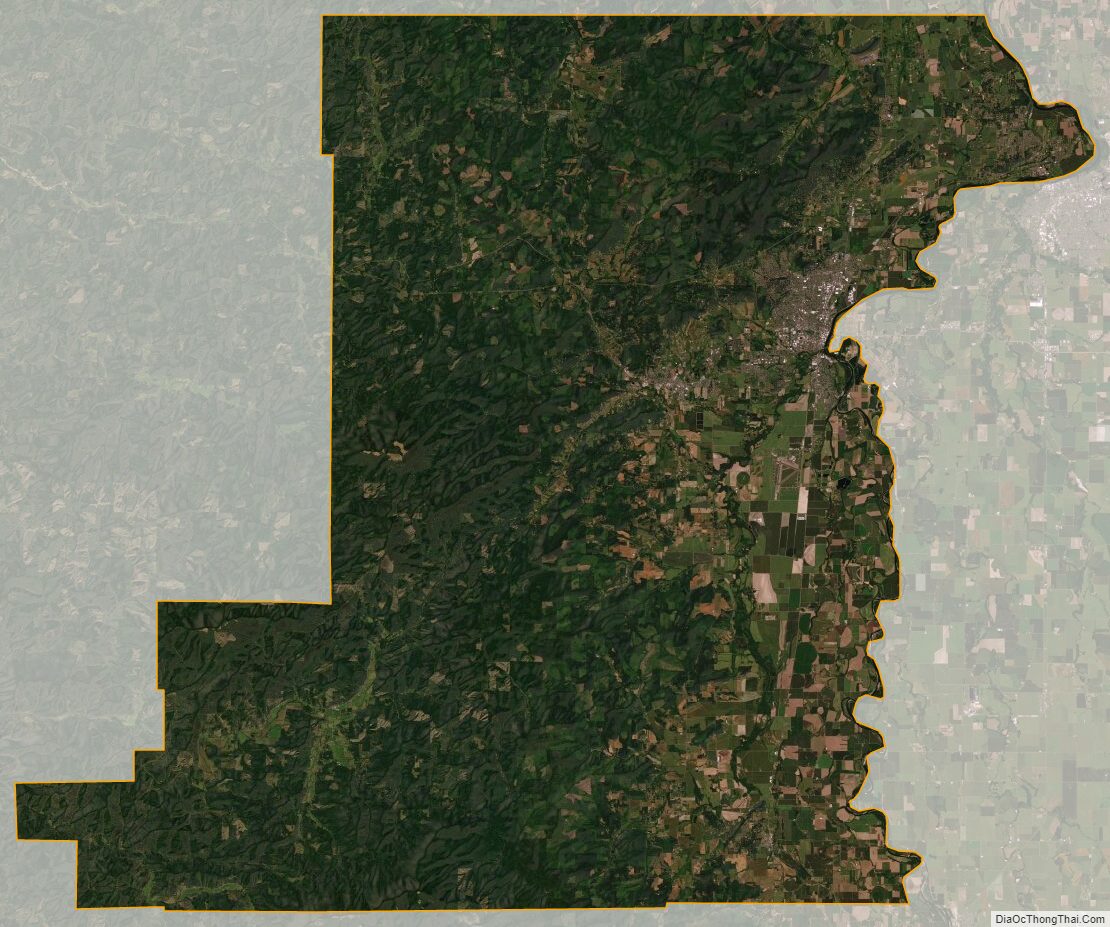
Benton County Satellite Map
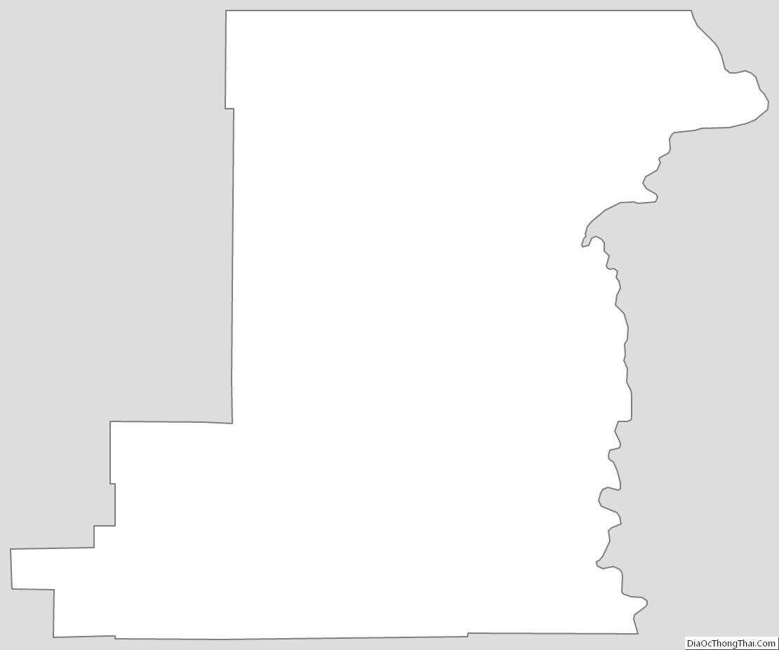
Benton County Outline Map