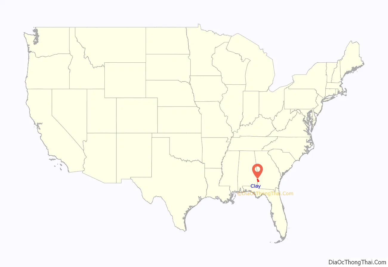
Clay County is a county located in the southwestern part of the U.S. state of Georgia. As of the 2020 census, the population was 2,848, making it the fourth-least populous county in Georgia. The county seat is Fort Gaines.
| Name: | Clay County |
|---|---|
| FIPS code: | 13-061 |
| State: | Georgia |
| Founded: | 1854 |
| Named for: | Henry Clay |
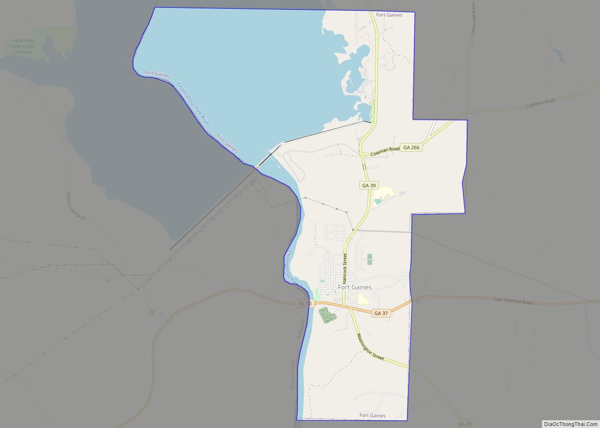
| Seat: | Fort Gaines |
| Largest city: | Fort Gaines |
| Total Area: | 217 sq mi (560 km²) |
| Land Area: | 195 sq mi (510 km²) |
| Total Population: | 2,848 |
| Population Density: | 16/sq mi (6/km²) |
| Time zone: | UTC−5 (Eastern) |
| Summer Time Zone (DST): | UTC−4 (EDT) |
| Website: | www.claycountyga.net |
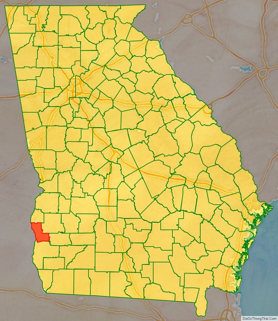
Clay County location map. Where is Clay County?
History
This area was historically occupied by the Creek Indians until Indian Removal in the 1830s. European Americans pushed them out and developed the land for cotton, bringing in thousands of African slaves to work the land.
The county is named in honor of Henry Clay, famous American statesman, member of the United States Senate from Kentucky and United States Secretary of State in the 19th century. Part of the Black Belt geological formation of Georgia, prior to the American Civil War the county’s chief commodity crop was cotton, cultivated and processed by farmers and African-American slaves. After the war, the economy continued to be agricultural, but timber was also harvested.
Clay was created by a February 16, 1854, act of the Georgia General Assembly, and organized from portions of Early and Randolph counties.
Clay County’s population is one-third of what it was in 1910.
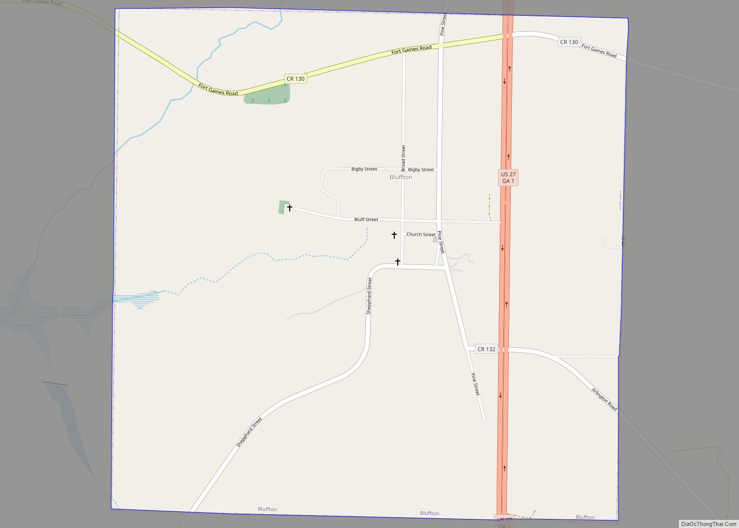
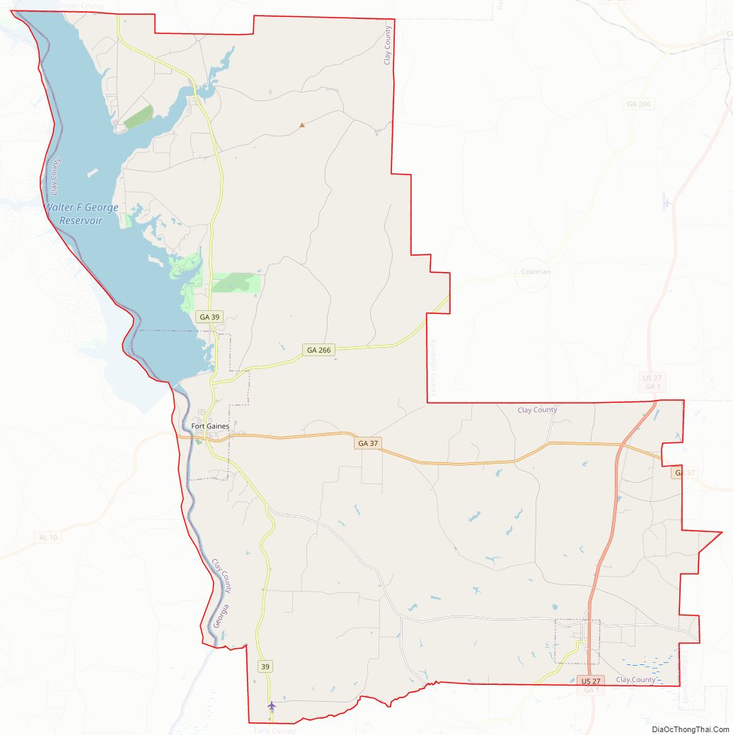
Clay County Road Map
Geography
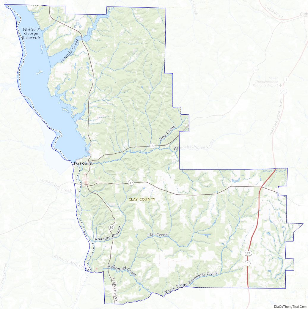
According to the U.S. Census Bureau, the county has a total area of 217 square miles (560 km), of which 195 square miles (510 km) is land and 22 square miles (57 km) (10.1%) is water.
The central and southwestern portions of Clay County, from west of Bluffton to northwest of Coleman, are located in the Lower Chattahoochee River sub-basin of the ACF River Basin (Apalachicola-Chattahoochee-Flint River Basin). The county’s northwestern corner, which is bisected by State Route 39 running north from Fort Gaines, is located in the Middle Chattahoochee River-Walter F. George Lake sub-basin of the same ACF River Basin. Just the very southeastern corner of Clay County is located in the Spring Creek sub-basin of the same larger ACF River Basin.
Major highways
- U.S. Route 27
- State Route 1
- State Route 37
- State Route 39
- State Route 266
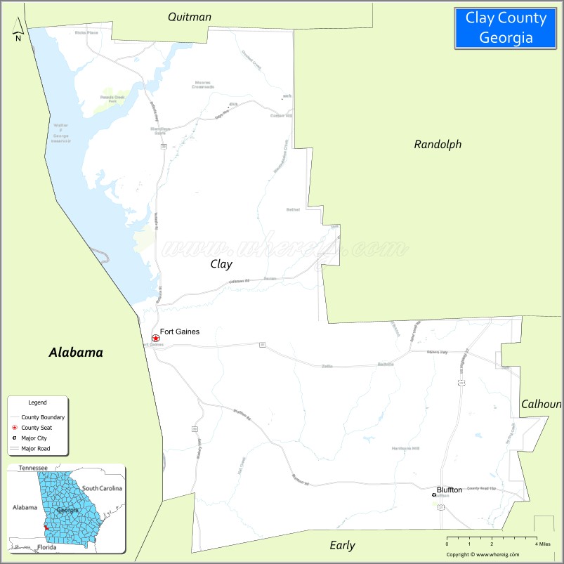
Adjacent counties
- Quitman County – north
- Randolph County – northeast
- Calhoun County – east
- Early County – south
- Henry County, Alabama – west
- Barbour County, Alabama – northwest
Clay County Topographic Map
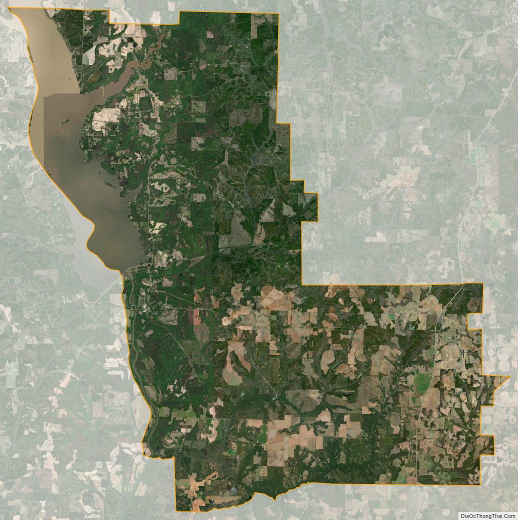
Clay County Satellite Map
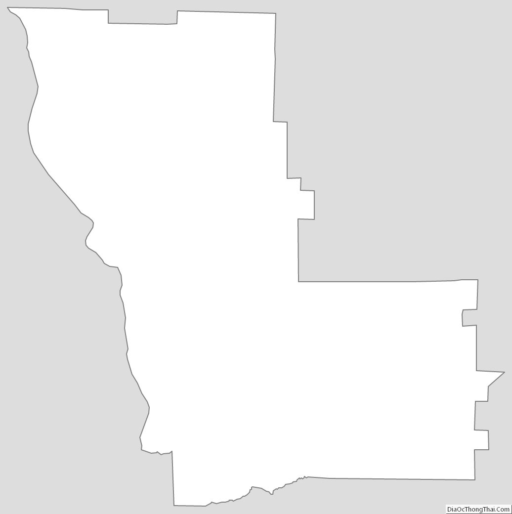
Clay County Outline Map