Spencer is a city in the state of Iowa, United States, and the county seat of Clay County. It is located at the confluence of the Little Sioux and Ocheyedan rivers. The population was 11,325 in the 2020 census, an increase from 11,317 in 2000. Spencer hosts the Clay County Fair, held annually in September and averaging more than 300,000 visitors.
The town’s late library cat, Dewey Readmore Books, became known throughout the world before his death in 2006. He was immortalized in the book Dewey: The Small-Town Library Cat Who Touched the World by Vicki Myron, director of the library, and Bret Witter.
| Name: | Spencer city |
|---|---|
| LSAD Code: | 25 |
| LSAD Description: | city (suffix) |
| State: | Iowa |
| County: | Clay County |
| Elevation: | 1,312 ft (400 m) |
| Total Area: | 11.11 sq mi (28.77 km²) |
| Land Area: | 10.95 sq mi (28.35 km²) |
| Water Area: | 0.16 sq mi (0.42 km²) |
| Total Population: | 11,325 |
| Population Density: | 1,034.53/sq mi (399.43/km²) |
| ZIP code: | 51301, 51343 |
| Area code: | 712 |
| FIPS code: | 1974280 |
| GNISfeature ID: | 0465608 |
| Website: | www.spenceriowacity.com |
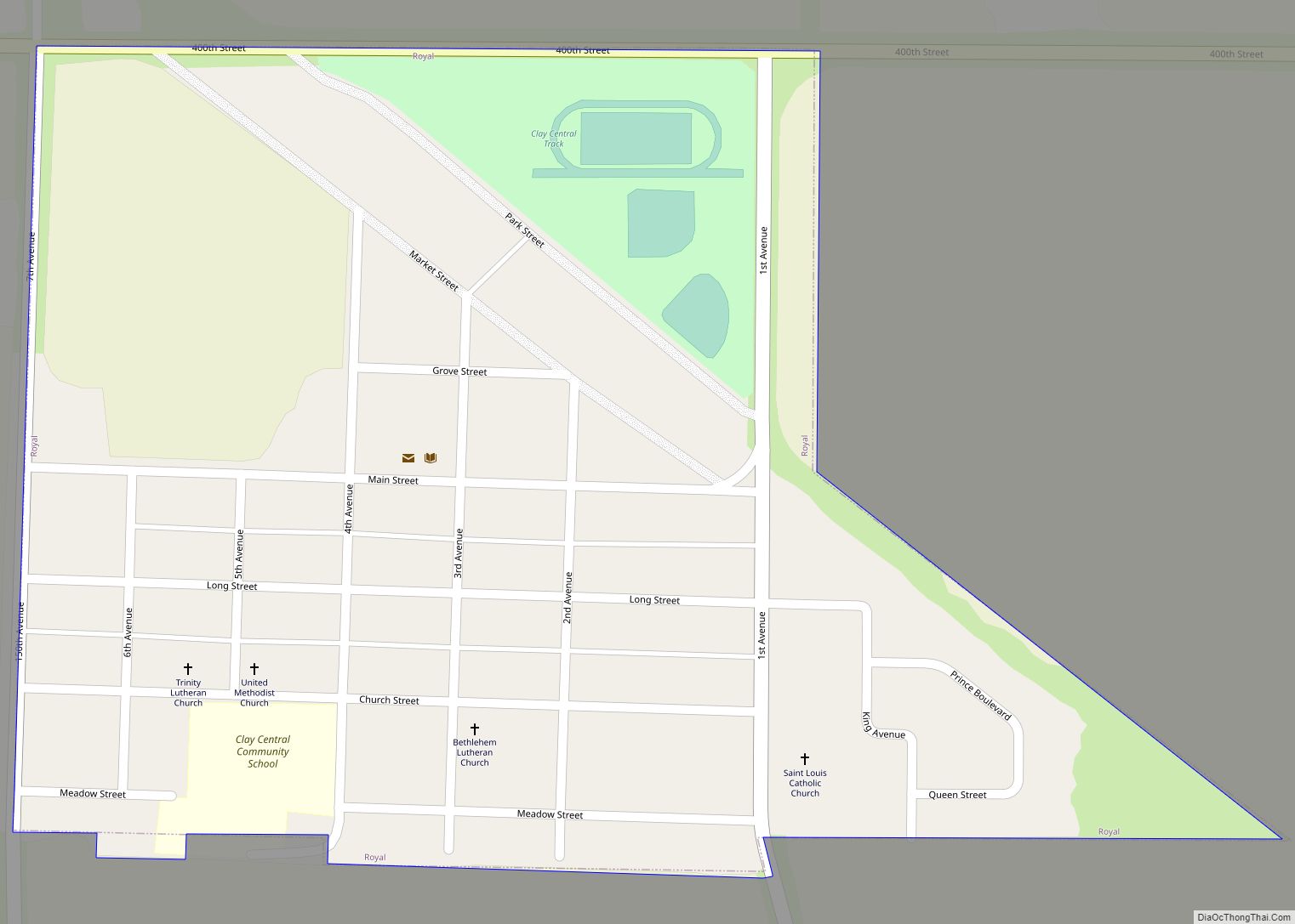
Online Interactive Map
Click on ![]() to view map in "full screen" mode.
to view map in "full screen" mode.
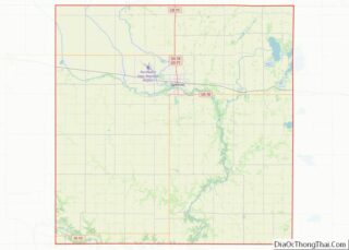
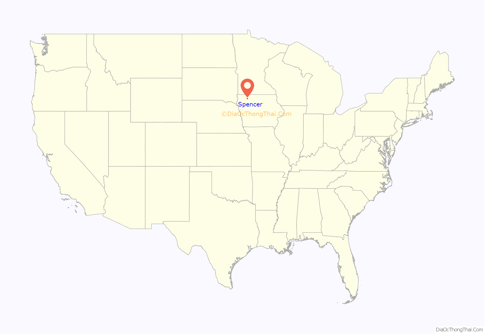
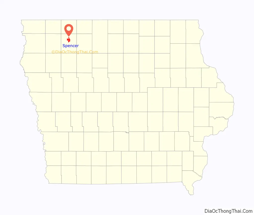
Spencer location map. Where is Spencer city?
History
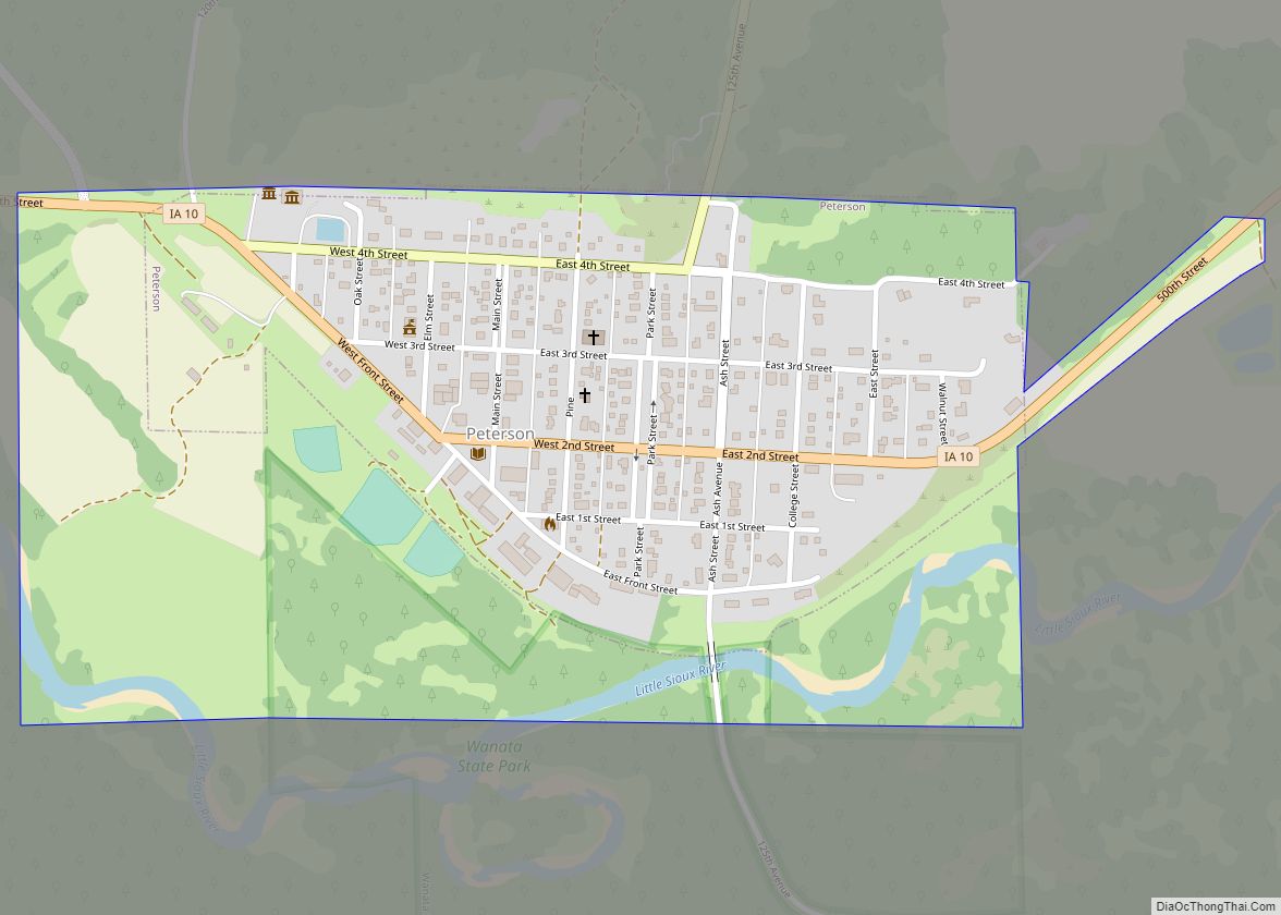
When Clay County was established in 1851, it had no local government and official business was done out of Sergeant’s Bluff, nearly 100 miles away on the Missouri River. In 1859, Judge Hubbard of Iowa’s 4th Judicial District authorized a committee to find a site for the county seat. This committee selected “Section 20 of Spencer Township”, located roughly in the center of the county near the confluence of “Sioux River and Ocheydan Creek”, as the site for the “seat of justice”. County Judge Charles Smeltzer approved their plan and began signing documents with the location “Spencer, Clay County, Iowa”, even though he was not physically there. A small group of land speculators had cleared the area and laid out a town plan, but there were no people living in that area at the time. Most of Clay County’s residents were living in Peterson Township, in the far southeastern corner of the county. Put to a vote, Peterson was chosen as the County Seat and a courthouse erected there. The site of the proposed town languished, uninhabited, for many years, the area coming to be called “Spencer Grove”.
The first settlers in what is now Spencer arrived in Emmetsburg in the Winter of 1865. Most of the men were Union veterans of the Civil War from Wisconsin and were claiming land under the Homestead Act of 1862. While in Emmetburg, they were told of Spencer Grove and decided it would make a nice place to establish their homesteads. The town site was platted by John Franklin Calkins. He and his family and some other families arrived in Spencer Grove in May 1866 and were joined by another wave of settlers later that Summer. On September 20, 1866, Spencer Grove Township was formally organized; one of the benefits was the residents being able to vote locally rather than traveling twenty miles to Peterson, the County Seat and only incorporated town in Clay County. In October 1866, Spencer Grove resident Romanzo Coates was elected as Superintendent of Clay County Common Schools; he established the first schoolhouse on the upper level of his cabin and appointed his wife as the first schoolteacher.
In 1868, the US Postal Service authorized a Post Office to be established at Spencer Grove: the authorization came with the caveat that there already was a “Spencer Grove” in Iowa, so they needed to change the name; the residents opted to drop “Grove” and henceforth the name of the town was simply “Spencer”. Romanzo Coates, already the Superintendent of Schools, was also made the town’s first Postmaster, with his cabin used as the first Post Office.
In 1869, Garrett Marcellus moved to Spencer and established a mill on the Little Sioux River about one mile downstream. This was Spencer’s first real business outside of the goods being sold out of J.W. Masten’s cabin. Several businesses soon followed: Peeso & Burgin’s General Store and Tuttle & Smith both opened in 1870, as did a wagon shop, butcher shop and a blacksmith.
The plat for the Town of Spencer was filed on May 8, 1871 and approved by Judge Snyder of Iowa’s 4th District Court. This marks the official founding of Spencer, Iowa. That year also saw the addition of several more businesses, including a hotel and hardware store.
By this time, the population around Spencer had surpassed that of Peterson, the County Seat located in the far southeastern corner of the county. A petition was passed to move the seat to the more centrally located Spencer; the motion passed 359–200 and in October 1871, the seat of government for Clay County was moved from Peterson to Spencer. At the time, Spencer lacked any building suitable for a courthouse, so residents pooled money and talent to build a two-story, 20×40 building on Main Street. This was subsequently purchased by the County for $1333 and used as the courthouse.
Between June and September 1878, the Chicago, Milwaukee & St Paul Railway built a line west from Algona to Spencer. The line was completed in mid-September and regular service began on September 15. Along with the rail road came telegraph service, the poles having been constructed alongside the tracks.
Spencer was formally incorporated as the Town of Spencer on March 26, 1880, with a mayor and board of trustees. On March 21, 1892, it was re-incorporated as the City of Spencer, with a mayor and city council.
In 1899, growth was stimulated by construction of the Chicago, Milwaukee & St. Paul Railway to the settlement. The county seat operated as a trading center for a county devoted to farming. The railroad carried crops and products into and out of the area.
A 1931 fire, ignited by a dropped sparkler, destroyed more than 100 buildings in the town. Using the case of the Spencer Fire along with the Remsen Fire of 1936, the state legislature banned almost all fireworks until 2017, when a relaxed law was passed. As yet, Spencer has not authorized fireworks sale or use in the city. (Exception: During the legal periods, one can apply for a permit to sell.)
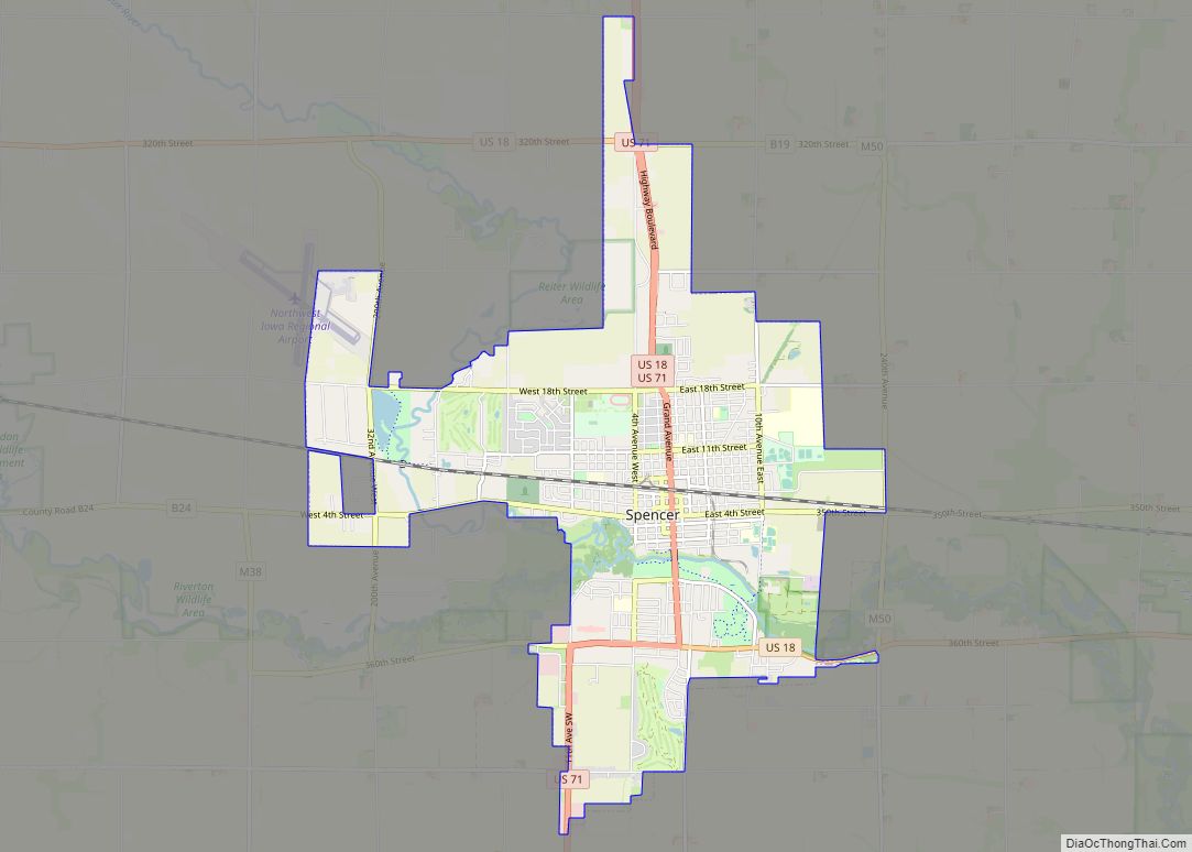
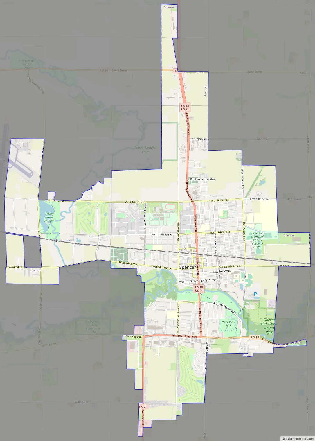
Spencer Road Map
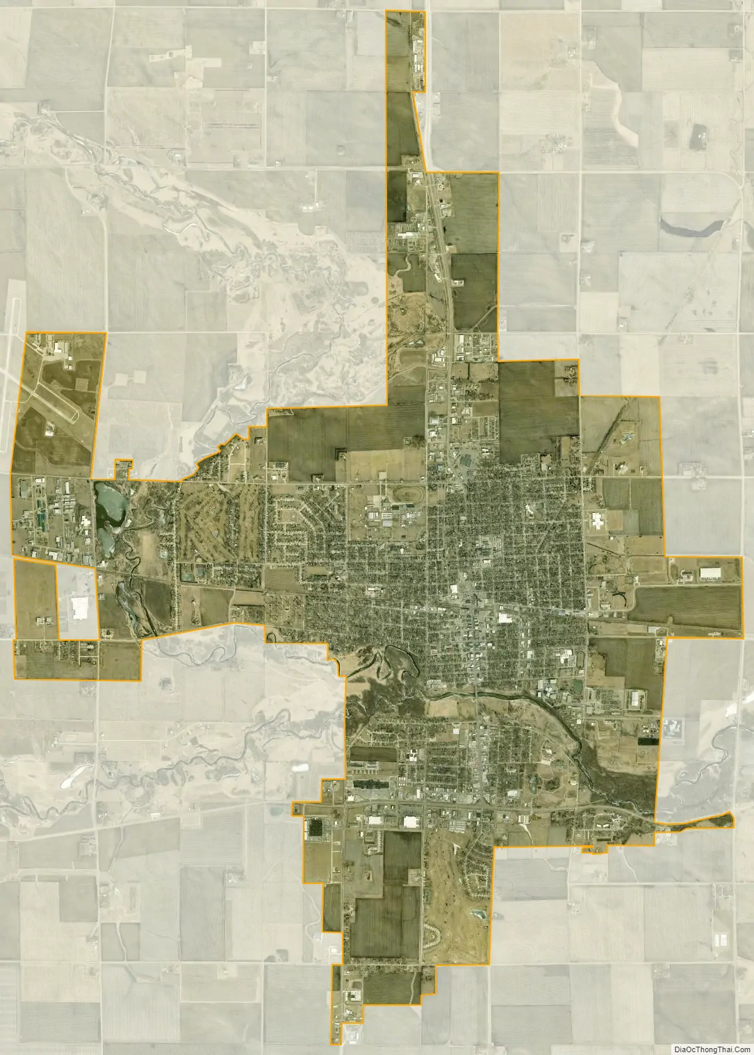
Spencer city Satellite Map
Geography
Spencer’s longitude and latitude coordinates in decimal form are 43.145318, 95.147209.
According to the United States Census Bureau, the city has a total area of 11.18 square miles (28.96 km), of which 11.01 square miles (28.52 km) is land and 0.17 square miles (0.44 km) is water.
Climate
See also
Map of Iowa State and its subdivision:- Adair
- Adams
- Allamakee
- Appanoose
- Audubon
- Benton
- Black Hawk
- Boone
- Bremer
- Buchanan
- Buena Vista
- Butler
- Calhoun
- Carroll
- Cass
- Cedar
- Cerro Gordo
- Cherokee
- Chickasaw
- Clarke
- Clay
- Clayton
- Clinton
- Crawford
- Dallas
- Davis
- Decatur
- Delaware
- Des Moines
- Dickinson
- Dubuque
- Emmet
- Fayette
- Floyd
- Franklin
- Fremont
- Greene
- Grundy
- Guthrie
- Hamilton
- Hancock
- Hardin
- Harrison
- Henry
- Howard
- Humboldt
- Ida
- Iowa
- Jackson
- Jasper
- Jefferson
- Johnson
- Jones
- Keokuk
- Kossuth
- Lee
- Linn
- Louisa
- Lucas
- Lyon
- Madison
- Mahaska
- Marion
- Marshall
- Mills
- Mitchell
- Monona
- Monroe
- Montgomery
- Muscatine
- O'Brien
- Osceola
- Page
- Palo Alto
- Plymouth
- Pocahontas
- Polk
- Pottawattamie
- Poweshiek
- Ringgold
- Sac
- Scott
- Shelby
- Sioux
- Story
- Tama
- Taylor
- Union
- Van Buren
- Wapello
- Warren
- Washington
- Wayne
- Webster
- Winnebago
- Winneshiek
- Woodbury
- Worth
- Wright
- Alabama
- Alaska
- Arizona
- Arkansas
- California
- Colorado
- Connecticut
- Delaware
- District of Columbia
- Florida
- Georgia
- Hawaii
- Idaho
- Illinois
- Indiana
- Iowa
- Kansas
- Kentucky
- Louisiana
- Maine
- Maryland
- Massachusetts
- Michigan
- Minnesota
- Mississippi
- Missouri
- Montana
- Nebraska
- Nevada
- New Hampshire
- New Jersey
- New Mexico
- New York
- North Carolina
- North Dakota
- Ohio
- Oklahoma
- Oregon
- Pennsylvania
- Rhode Island
- South Carolina
- South Dakota
- Tennessee
- Texas
- Utah
- Vermont
- Virginia
- Washington
- West Virginia
- Wisconsin
- Wyoming