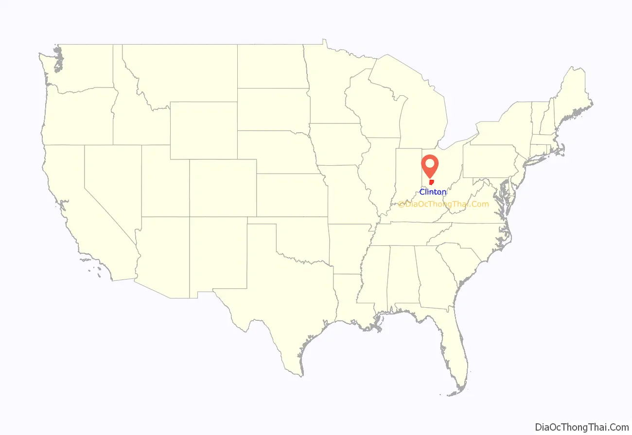
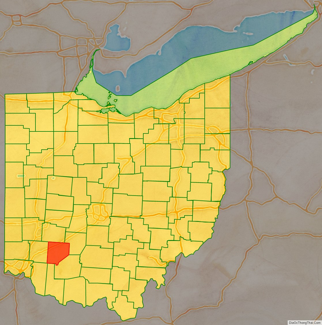
Clinton County is a county located in the U.S. state of Ohio. As of the 2020 census, the population was 42,018. Its county seat and largest city is Wilmington. The county is named for former U.S. Vice President George Clinton. Clinton County comprises the Wilmington, Ohio Micropolitan Statistical Area, which is also included in the Cincinnati-Wilmington-Maysville, OH-KY–IN Combined Statistical Area.
| Name: | Clinton County |
|---|---|
| FIPS code: | 39-027 |
| State: | Ohio |
| Founded: | March 1, 1810 |
| Named for: | George Clinton |
| Seat: | Wilmington |
| Largest city: | Wilmington |
| Total Area: | 412 sq mi (1,070 km²) |
| Land Area: | 409 sq mi (1,060 km²) |
| Total Population: | 42,018 |
| Time zone: | UTC−5 (Eastern) |
| Summer Time Zone (DST): | UTC−4 (EDT) |
| Website: | co.clinton.oh.us |
Clinton County location map. Where is Clinton County?
History
Clinton County was formed on February 19, 1810, from sections of Highland County and Warren County, with the law creating the county taking effect on March 1 of that year. It was named after George Clinton, a soldier, politician, Governor of New York, and Vice President of the United States.
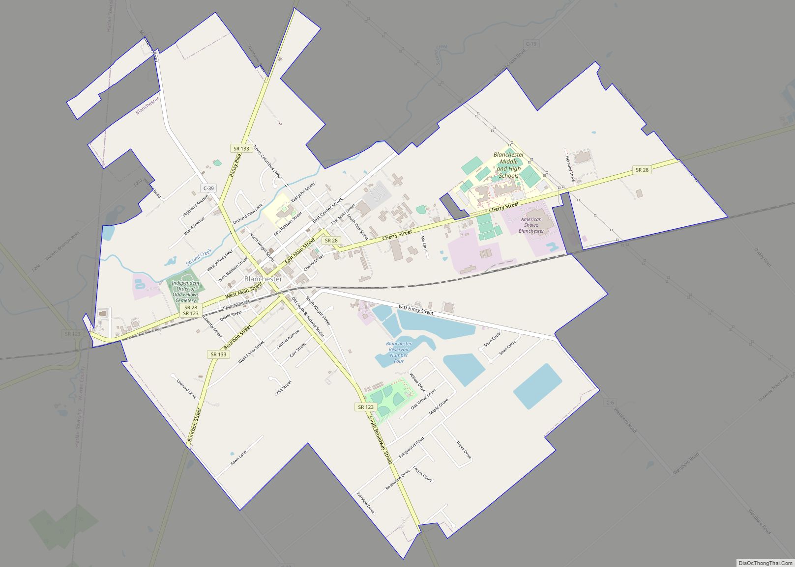
Clinton County Road Map
Geography
According to the U.S. Census Bureau, the county has a total area of 412 square miles (1,070 km), of which 409 square miles (1,060 km) is land and 3.6 square miles (9.3 km) (0.9%) is water.
The entire county lies within the Little Miami River watershed, with the exception of extreme eastern areas, which are within the Scioto River watershed. Clinton County lies within the till plains physiographic region, and is somewhat flat or gently rolling. The northern two thirds of the county were covered with an ice sheet during the Wisconsinan Stage, while the southern third was covered by ice sheets during the much older Illinoian Stage. Because of such a history with ice, glacial features are readily found on the landscape, such as moraines and kames.
The general elevation of the county is roughly 1,050 feet (320 m) above sea level, and there are few areas in the county that deviate from this by more than 200 feet (61 m).
The climate of Clinton County can be classified as humid continental. It is one of the coolest and wettest counties in southern Ohio, although differences between it and other southern Ohio counties are usually very slight. Clinton County averages 42 inches (1.1 m) of precipitation per year, including 30 inches (0.76 m) of snow (Note: one inch of snow does not equal one inch of precipitation). Average July high temperatures reach the mid and upper 80s F although temperatures above 90 F are common, while lows are typically in the 60s F. January high temperatures typically reach the low and mid 30s F, while lows generally bottom out in the 10s F, although lows in the single digits and even below 0 °F or −17.8 °C are common.
Adjacent counties
- Greene County (north)
- Fayette County (northeast)
- Highland County (southeast)
- Brown County (south)
- Clermont County (southwest)
- Warren County (west)
