Wilmington is a city in and the county seat of Clinton County, Ohio, United States. The population was 12,660 at the 2020 census. At city entrances from state routes, county roads, and U.S. highways, the city slogan of “We Honor Our Champions” is seen, accompanied by signs that highlight various athletic accomplishments from Wilmington individuals and teams. The city features a weather forecast office of the National Weather Service, which serves all of Southwestern Ohio and portions of Kentucky and Indiana.
Wilmington was featured in Time magazine on December 8, 1997 as a small town that is attractive to suburban families. The city was also showcased in a 1995 publication titled The 100 Best Small Towns in America. Home to Wilmington College, founded in 1870 by the Society of Friends, the city and the surrounding area include more than one dozen Quaker meeting houses.
| Name: | Wilmington city |
|---|---|
| LSAD Code: | 25 |
| LSAD Description: | city (suffix) |
| State: | Ohio |
| County: | Clinton County |
| Elevation: | 1,017 ft (310 m) |
| Total Area: | 13.09 sq mi (33.91 km²) |
| Land Area: | 12.94 sq mi (33.52 km²) |
| Water Area: | 0.15 sq mi (0.39 km²) |
| Total Population: | 12,664 |
| Population Density: | 978.52/sq mi (377.80/km²) |
| ZIP code: | 45177 |
| Area code: | 937, 326 |
| FIPS code: | 3985792 |
| GNISfeature ID: | 1061792 |
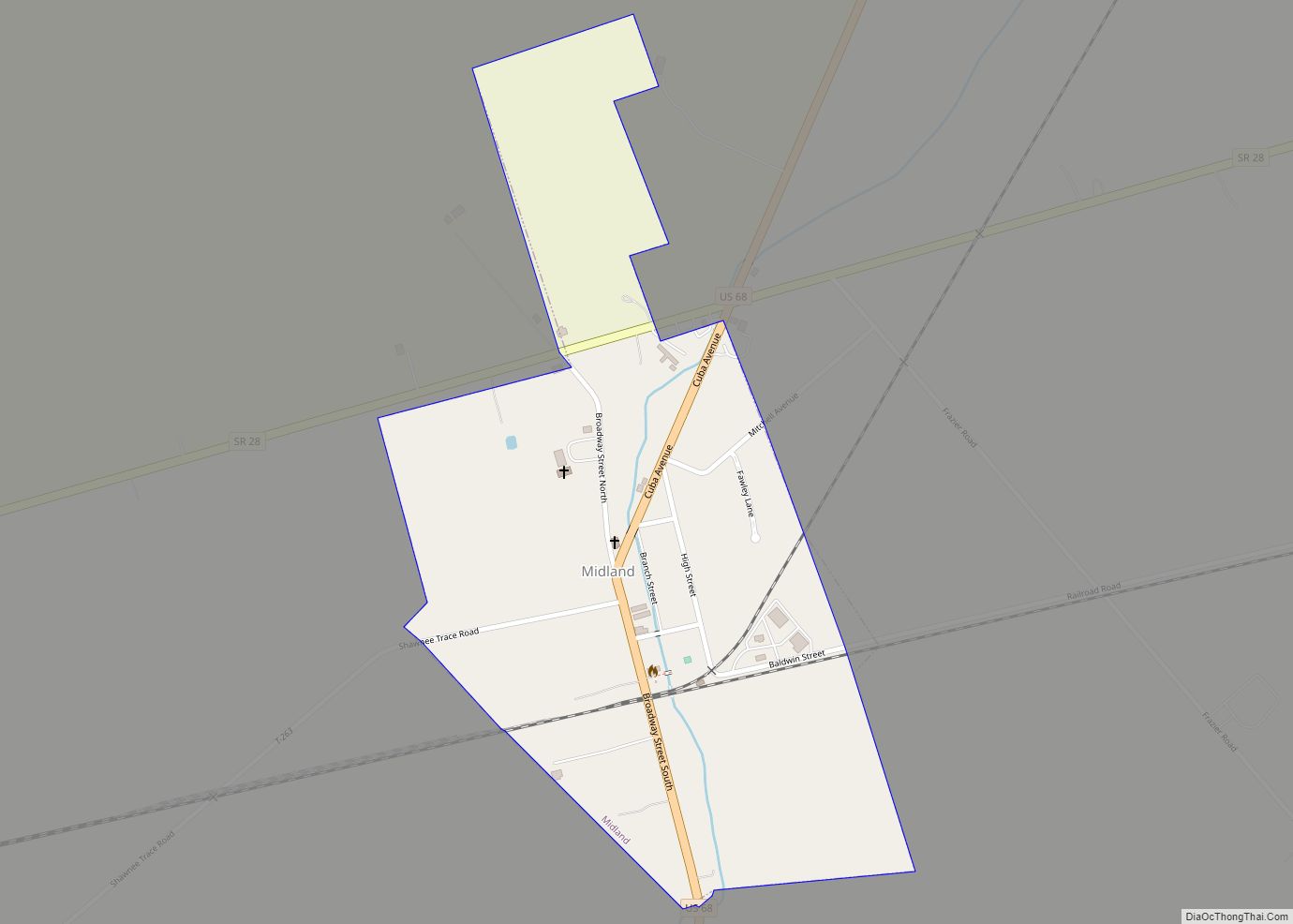
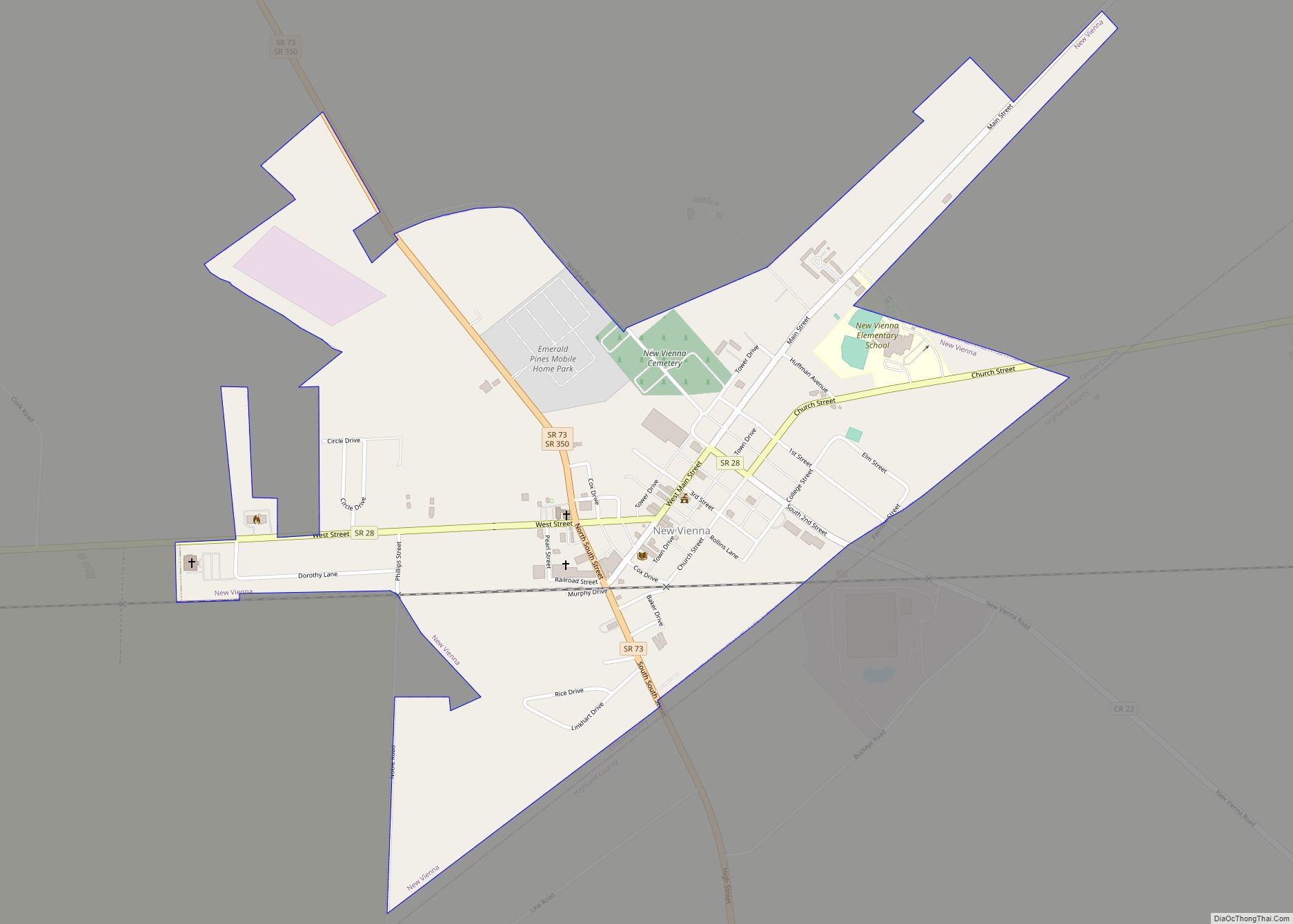
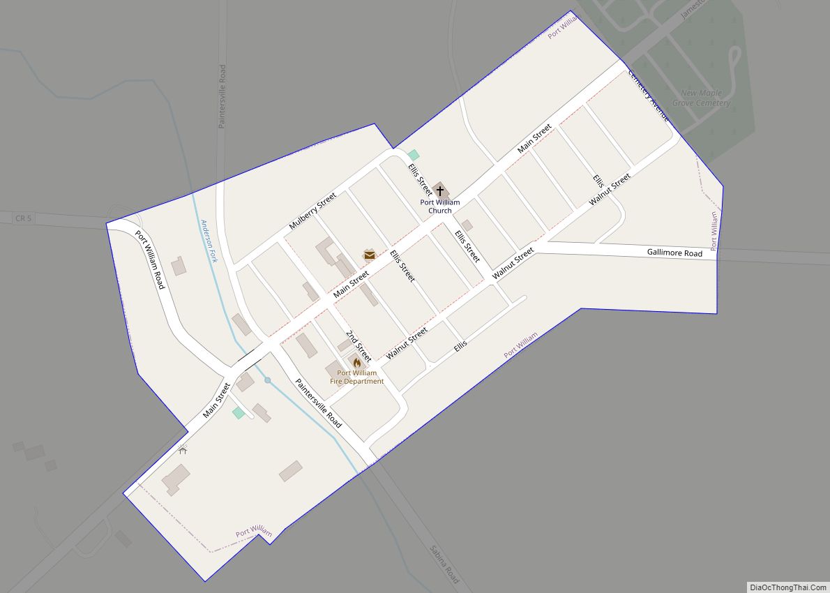
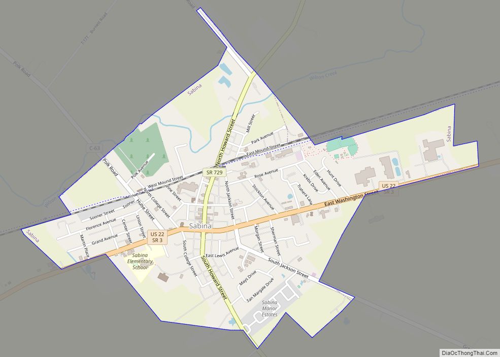
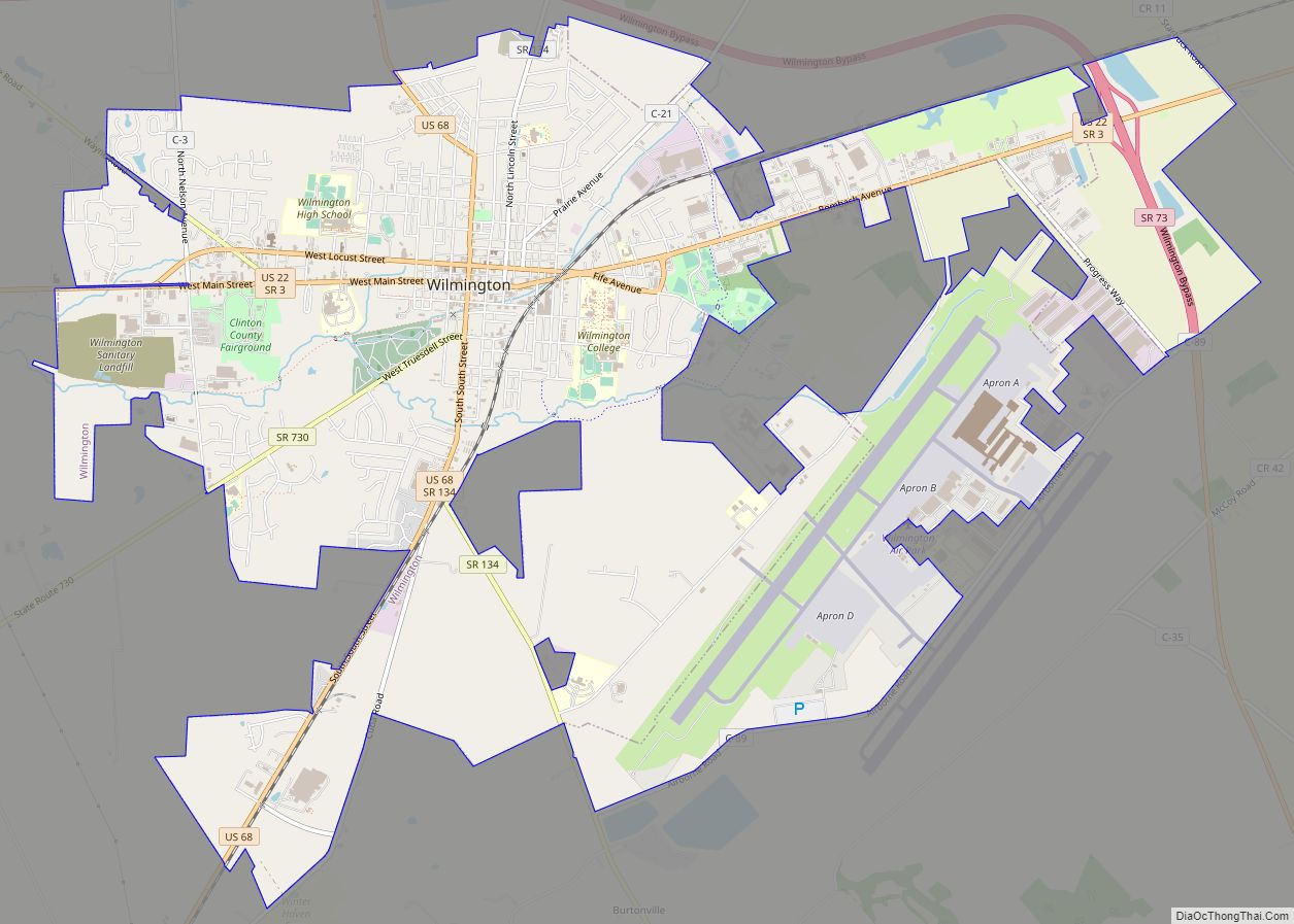
Online Interactive Map
Click on ![]() to view map in "full screen" mode.
to view map in "full screen" mode.
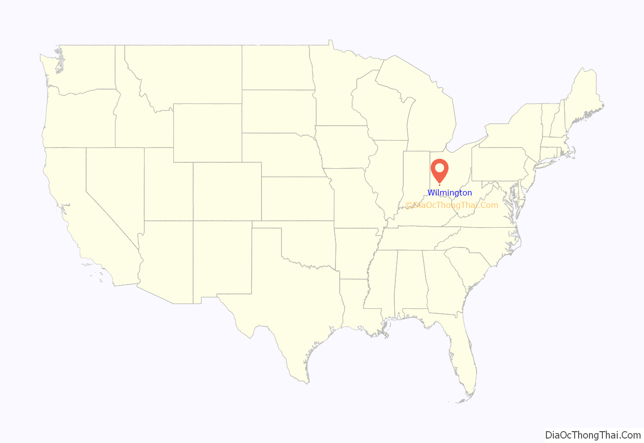
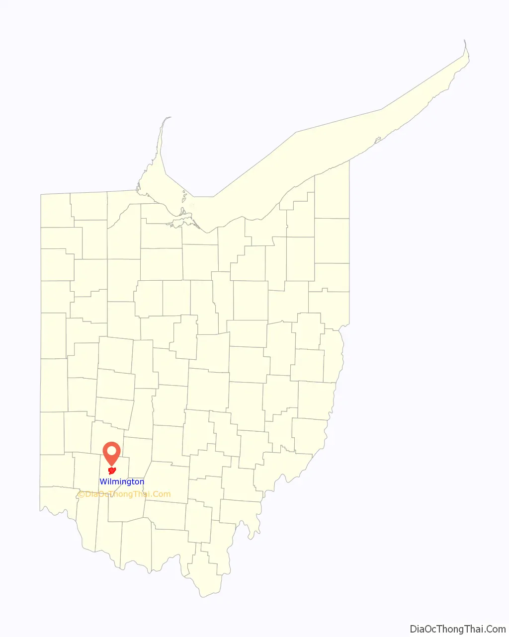
Wilmington location map. Where is Wilmington city?
History
The town of Clinton was founded in 1810 as seat of the newly formed Clinton County; the name was changed to Wilmington in 1811. The village was incorporated in 1828.
In 1833, Wilmington contained a brick courthouse, a jail, fourteen stores, two taverns, two groceries, four churches, and 100 residential houses.
Wilmington Road Map
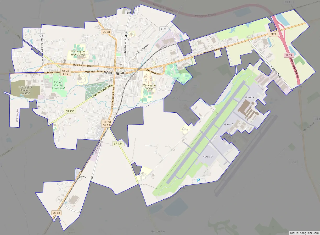
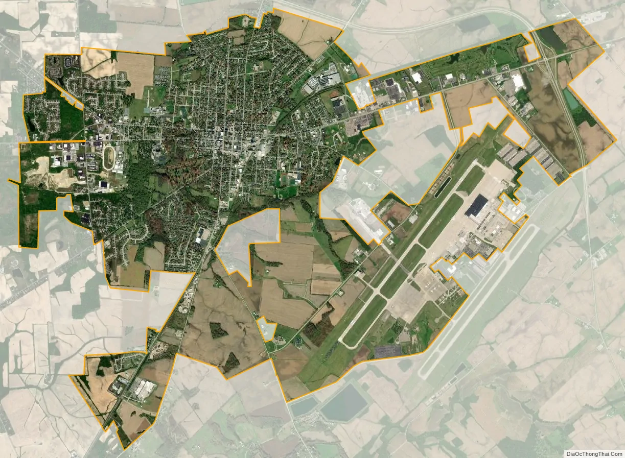
Wilmington city Satellite Map
Geography
Wilmington is located at 39°26′45″N 83°49′45″W / 39.44583°N 83.82917°W / 39.44583; -83.82917 (39.445913, -83.829128).
According to the United States Census Bureau, the city has a total area of 10.93 square miles (28.31 km), of which 10.89 square miles (28.20 km) is land and 0.04 square miles (0.10 km) is water.
Climate
See also
Map of Ohio State and its subdivision:- Adams
- Allen
- Ashland
- Ashtabula
- Athens
- Auglaize
- Belmont
- Brown
- Butler
- Carroll
- Champaign
- Clark
- Clermont
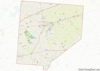
- Clinton
- Columbiana
- Coshocton
- Crawford
- Cuyahoga
- Darke
- Defiance
- Delaware
- Erie
- Fairfield
- Fayette
- Franklin
- Fulton
- Gallia
- Geauga
- Greene
- Guernsey
- Hamilton
- Hancock
- Hardin
- Harrison
- Henry
- Highland
- Hocking
- Holmes
- Huron
- Jackson
- Jefferson
- Knox
- Lake
- Lake Erie
- Lawrence
- Licking
- Logan
- Lorain
- Lucas
- Madison
- Mahoning
- Marion
- Medina
- Meigs
- Mercer
- Miami
- Monroe
- Montgomery
- Morgan
- Morrow
- Muskingum
- Noble
- Ottawa
- Paulding
- Perry
- Pickaway
- Pike
- Portage
- Preble
- Putnam
- Richland
- Ross
- Sandusky
- Scioto
- Seneca
- Shelby
- Stark
- Summit
- Trumbull
- Tuscarawas
- Union
- Van Wert
- Vinton
- Warren
- Washington
- Wayne
- Williams
- Wood
- Wyandot
- Alabama
- Alaska
- Arizona
- Arkansas
- California
- Colorado
- Connecticut
- Delaware
- District of Columbia
- Florida
- Georgia
- Hawaii
- Idaho
- Illinois
- Indiana
- Iowa
- Kansas
- Kentucky
- Louisiana
- Maine
- Maryland
- Massachusetts
- Michigan
- Minnesota
- Mississippi
- Missouri
- Montana
- Nebraska
- Nevada
- New Hampshire
- New Jersey
- New Mexico
- New York
- North Carolina
- North Dakota
- Ohio
- Oklahoma
- Oregon
- Pennsylvania
- Rhode Island
- South Carolina
- South Dakota
- Tennessee
- Texas
- Utah
- Vermont
- Virginia
- Washington
- West Virginia
- Wisconsin
- Wyoming