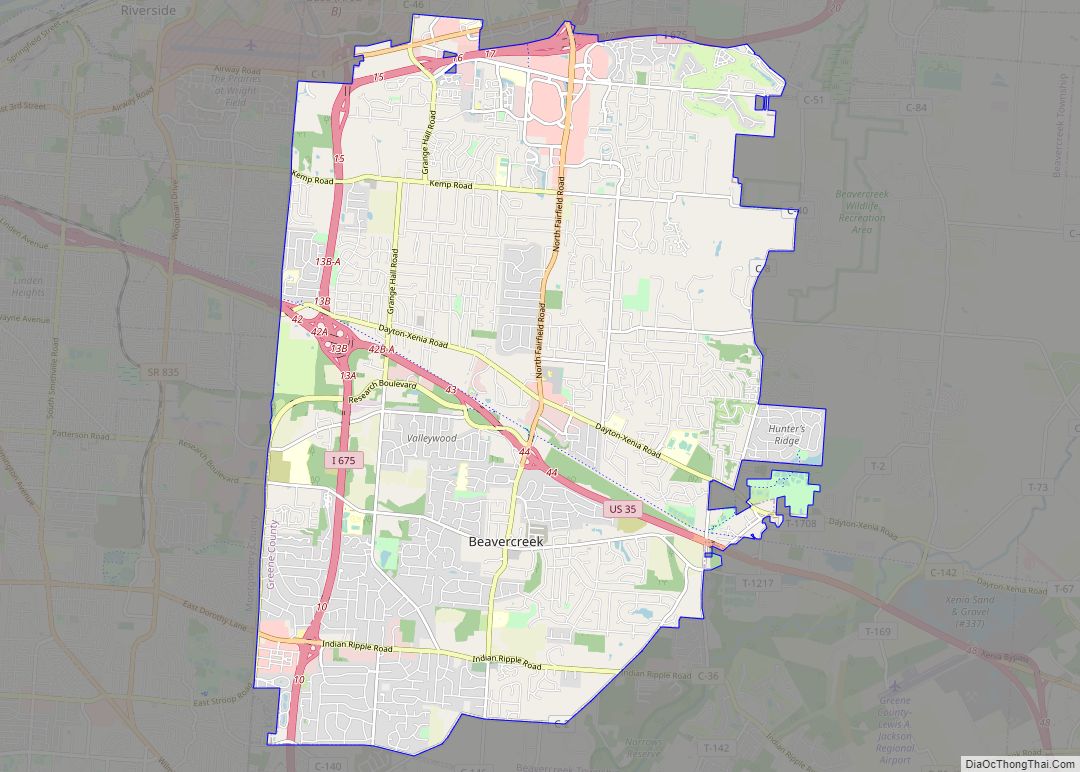
Greene County is located in the southwestern portion of Ohio. As of the 2020 census, the population was 167,966. Its county seat is Xenia and its largest city is Beavercreek. The county was established on March 24, 1803 and named for General Nathanael Greene, an officer in the Revolutionary War. Greene County is part of the Dayton, OH Metropolitan Statistical Area.
| Name: | Greene County |
|---|---|
| FIPS code: | 39-057 |
| State: | Ohio |
| Founded: | May 1, 1803 |
| Named for: | General Nathanael Greene |
| Seat: | Xenia |
| Largest city: | Beavercreek* |
| Total Area: | 416 sq mi (1,080 km²) |
| Land Area: | 414 sq mi (1,070 km²) |
| Total Population: | 167,966 |
| Population Density: | 400/sq mi (160/km²) |
| Time zone: | UTC−5 (Eastern) |
| Summer Time Zone (DST): | UTC−4 (EDT) |
| Website: | www.greenecountyohio.gov |
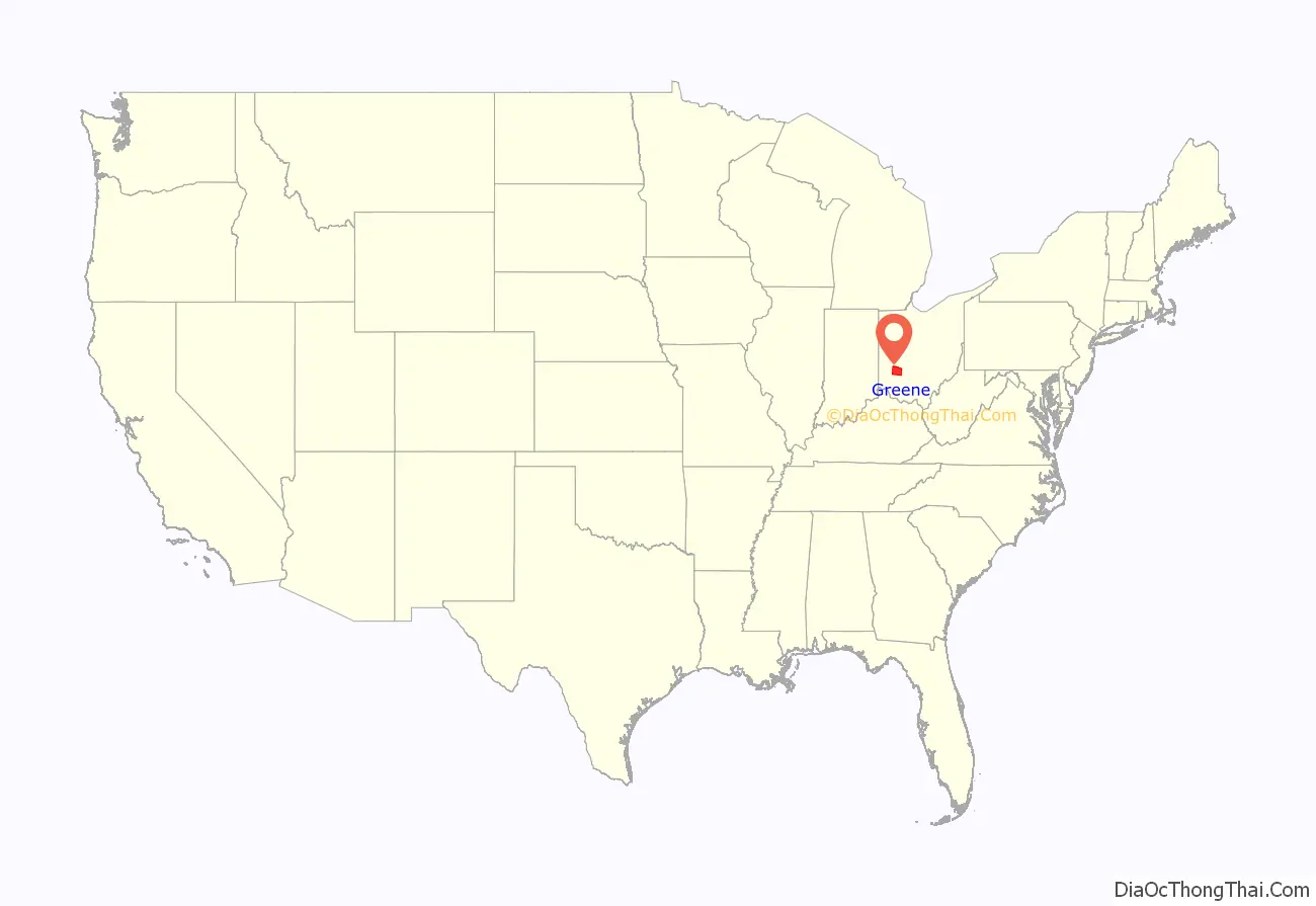
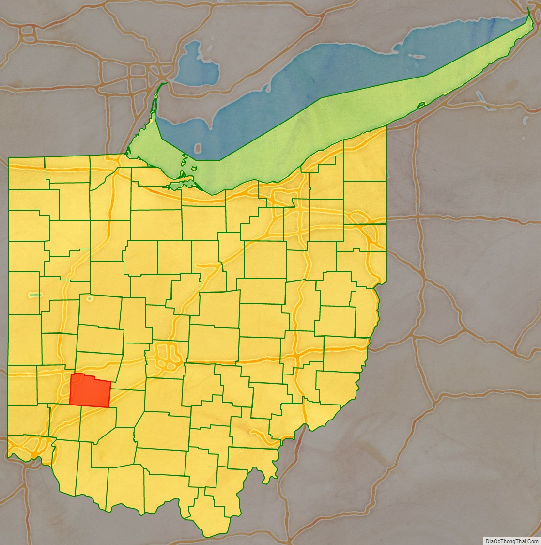
Greene County location map. Where is Greene County?
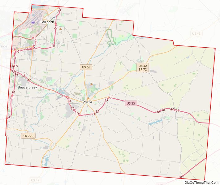
Greene County Road Map
Geography
According to the United States Census Bureau, the county has a total area of 416 square miles (1,080 km), of which 414 square miles (1,070 km) is land and 2.5 square miles (6.5 km) (0.6%) is water.
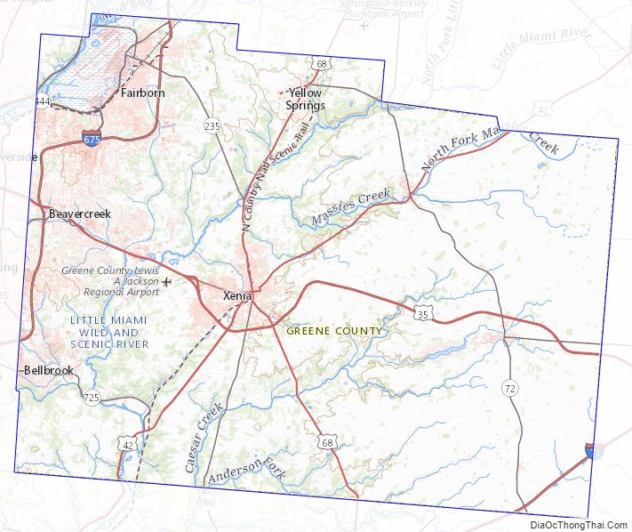
Greene County Topographic Map
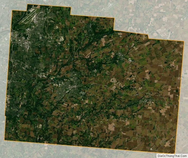
Greene County Satellite Map
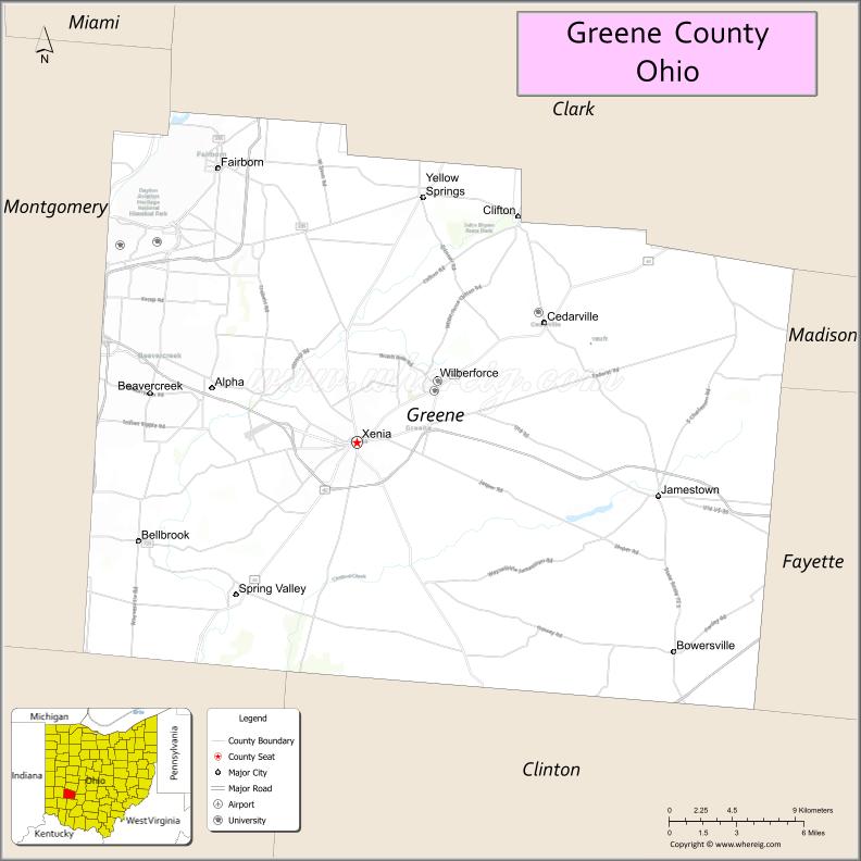
Greene County Outline Map