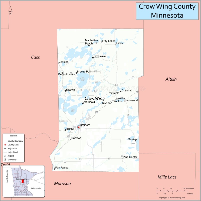
Crow Wing County is a county in the East Central part of the U.S. state of Minnesota. As of the 2020 census, the population was 66,123. Its county seat is Brainerd. The county was formed in 1857, and was organized in 1870.
Crow Wing County is included in the Brainerd, MN Micropolitan Statistical Area.
| Name: | Crow Wing County |
|---|---|
| FIPS code: | 27-035 |
| State: | Minnesota |
| Founded: | 1857 |
| Named for: | Crow Wing River |
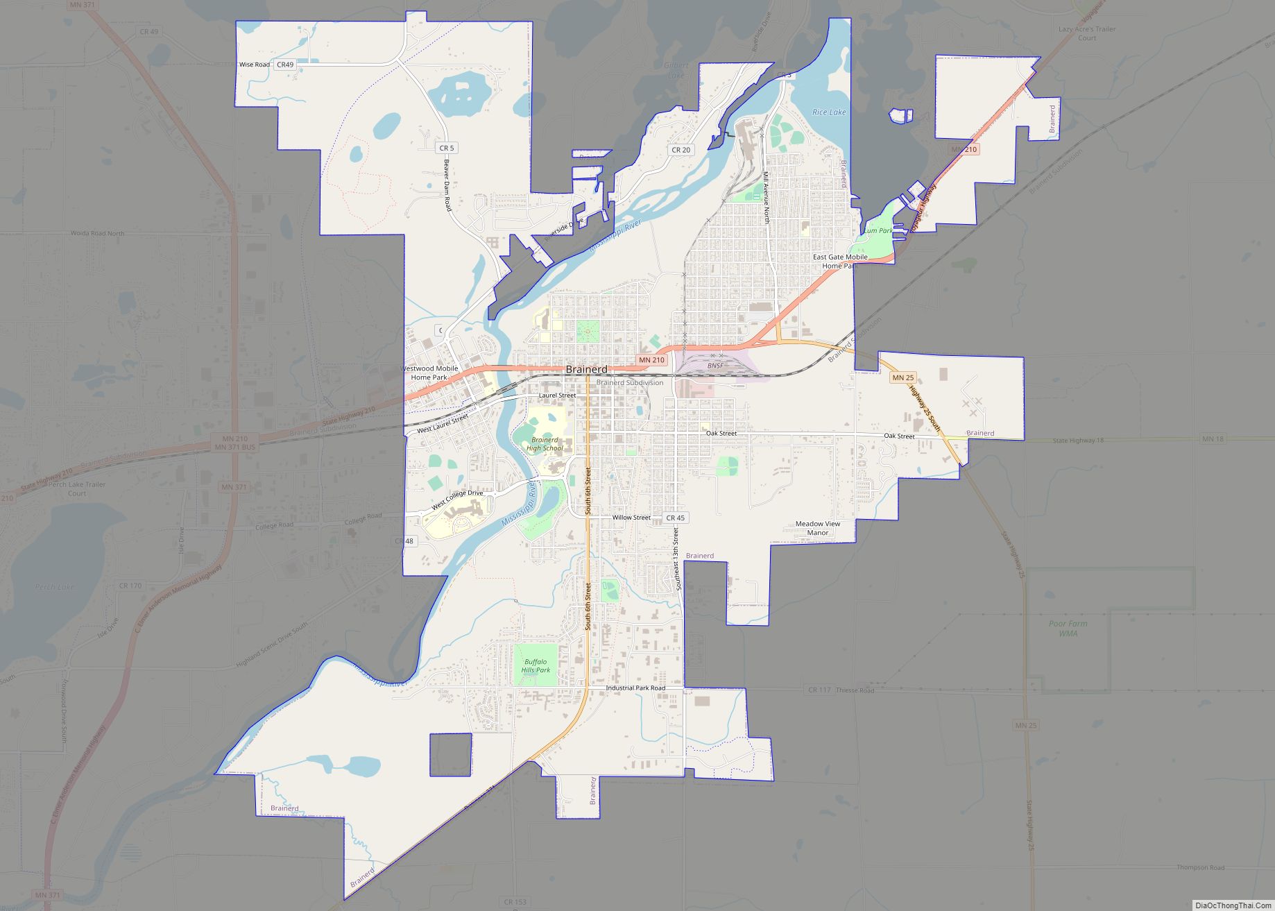
| Seat: | Brainerd |
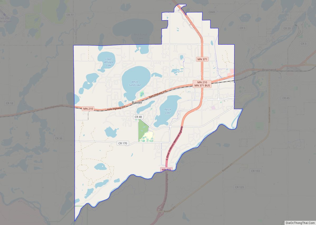
| Largest city: | Brainerd |
| Total Area: | 1,157 sq mi (3,000 km²) |
| Land Area: | 999 sq mi (2,590 km²) |
| Total Population: | 66,123 |
| Population Density: | 66.2/sq mi (25.6/km²) |
| Time zone: | UTC−6 (Central) |
| Summer Time Zone (DST): | UTC−5 (CDT) |
| Website: | crowwing.us |
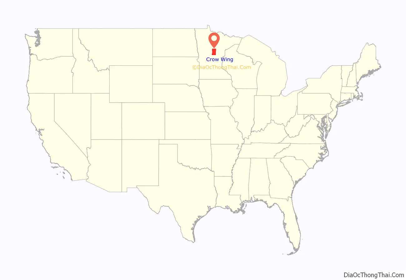
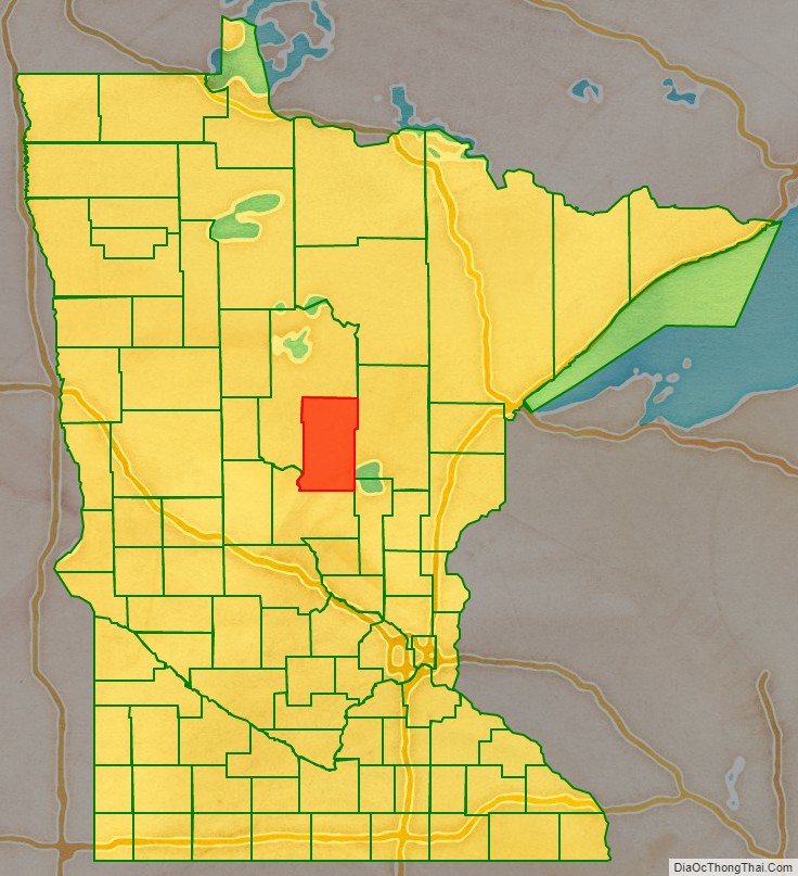
Crow Wing County location map. Where is Crow Wing County?
History
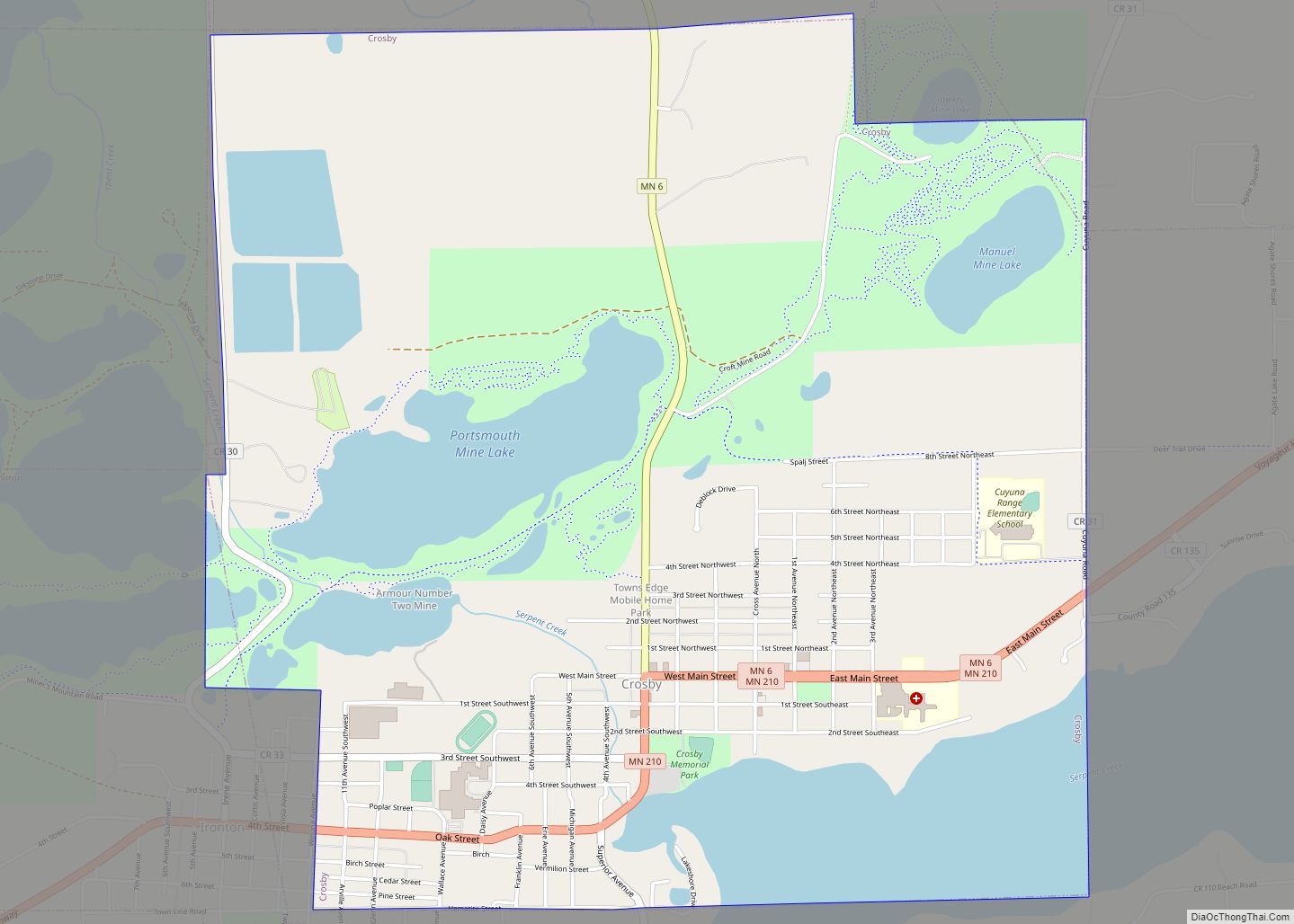
This area was long occupied by the Ojibwe people, also known as Chippewa. In addition, numerous Dakota people lived in central and southern Minnesota before European settlement. European Americans established a trading post by 1837 in this area, on the east side of the Mississippi River opposite the mouth of the Crow Wing River. The post (named Crow Wing) soon became a center of trading with the region’s Native Americans, with a general-supply store that served the area. By 1866, the village contained about 600 whites and Chippewa; it was a major population center. The territorial government enacted the county’s creation on May 23, 1857, and named Crow Wing the county seat. The governmental structure of the county was not effected until March 3, 1870. The county was named for the river, which is named for an island in the river that resembles a crow’s wing.
Brainerd township was founded in 1870 when the Northern Pacific Railroad selected the site for a crossing of the Mississippi River. It attracted development and population, soon surpassing Crow Wing. It was also designated as the new county seat, drawing off more residents and businesses from what became known as a ghost town, Old Crow Wing. Crow Wing State Park encompasses much of the former village site along the river.
Brainerd City was incorporated on November 19, 1881, named for Lawrence Brainerd, the father-in-law of J. Gregory Smith, the first president of the Northern Pacific Railroad Company. Smith served as governor of Vermont from 1863 to 1865 before moving west. He is called the father and founder of Brainerd. Lawrence Brainerd was the first president of the Vermont Central Railroad. The Northern Pacific Railroad ran a special train as its first service to Brainerd on March 11, 1871. Its regular passenger service began the next September. The first passenger train from the Twin Cities, by way of Sauk Rapids, arrived on November 1, 1877.
On February 18, 1887, the Minnesota legislature annexed part of Cass County (west of the Mississippi) to Crow Wing County, which doubled the former area of Crow Wing County.
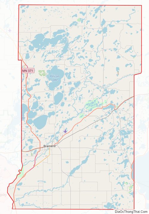
Crow Wing County Road Map
Geography
Crow Wing County has an area of 1,157 square miles (3,000 km), of which 999 square miles (2,590 km) is land and 157 square miles (410 km) (14%) is water.
Topography and vegetation
Crow Wing County has two state forests, the Crow Wing State Forest and the Emily State Forest. The Cuyuna Lakes State Trail lies in the Upper Mississippi River Basin. The topography is gently rolling to flat, mostly wooded and heavily dotted with waters and wetlands. It is home to an abundance of wildlife, including white-tailed deer, cottontail rabbit, snowshoe hare, raccoon, red fox, gray fox, coyote, mink, muskrat, squirrels, beaver, occasional American black bear, Bald eagle, osprey and many other waterfowl.
Lakes and rivers
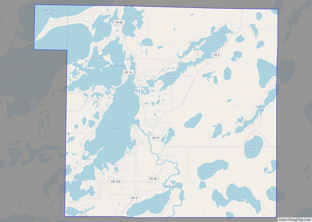
The main river is the Mississippi River, and there are several smaller streams. It has about 417 recognized lakes. The top ten by size are:
- Gull Lake – 9,419 acres (38.12 km)
- Pelican Lake – 8,254 acres (33.40 km)
- Upper and Lower White Fish Lake – 7,372 acres (29.83 km)
- North Long Lake – 5,997 acres (24.27 km)
- Lake Edward – 2,576 acres (10.42 km)
- Bay Lake – 2,393 acres (9.68 km)
- Cross Lake – 1,752 acres (7.09 km)
- Round Lake – 1,645 acres (6.66 km)
- Big Trout Lake – 1,343 acres (5.43 km)
- Lower South Long Lake – 1,312 acres (5.31 km)
Major highways
- U.S. Route 169
- Minnesota State Highway 6
- Minnesota State Highway 18
- Minnesota State Highway 25
- Minnesota State Highway 210
- Minnesota State Highway 371
- MN 371 Bus.
Adjacent counties
- Aitkin County – northeast
- Mille Lacs County – southeast
- Morrison County – southwest
- Cass County – northwest, north
Protected areas
- Crow Wing State Forest
- Crow Wing State Park (part)
- Cuyuna Country State Recreation Area
- Cuyuna Lakes State Trail (within Cuyuna Country SRA)
- Duck Lakes State Wildlife Management Area
- Emily State Forest
- Loerch State Wildlife Management Area
- Mille Lacs Moraine Scientific and Natural Area
- Safari North Wildlife Park
- Upper Dean State Wildlife Management Area
Superfund site and environmental damage
The presence of railroads increased development in the county, but also brought environmental problems. The Burlington Northern (Brainerd/Baxter) EPA Superfund site is between Brainerd and Baxter. Burlington Northern Railroad had a treatment plant in Crow Wing County for railroad ties, to protect the wood from weather and insects. Wastewater generated from the wood-treating process was sent to two shallow, unlined ponds. This created sludge that contaminated both the underlying soils and the groundwater with creosote and polynuclear aromatic hydrocarbons (PAHs).
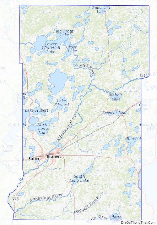
Crow Wing County Topographic Map
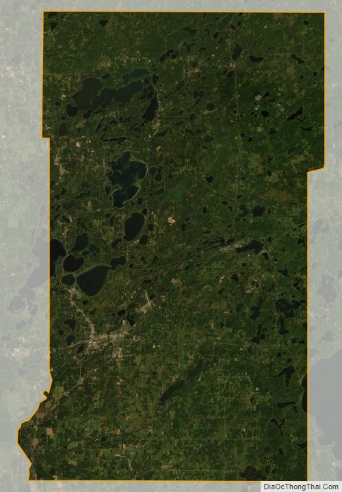
Crow Wing County Satellite Map
Crow Wing County Outline Map