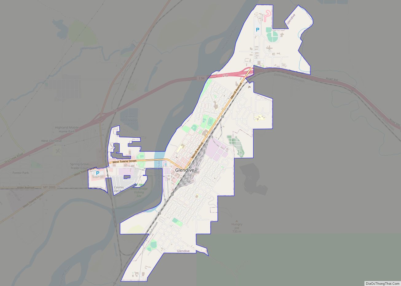
Dawson County is a county located in the U.S. state of Montana. As of the 2020 census, the population was 8,940. Its county seat is Glendive.
| Name: | Dawson County |
|---|---|
| FIPS code: | 30-021 |
| State: | Montana |
| Founded: | January 15, 1869 |
| Seat: | Glendive |
| Largest city: | Glendive |
| Total Area: | 2,383 sq mi (6,170 km²) |
| Land Area: | 2,372 sq mi (6,140 km²) |
| Total Population: | 8,940 |
| Population Density: | 3.8/sq mi (1.4/km²) |
| Time zone: | UTC−7 (Mountain) |
| Summer Time Zone (DST): | UTC−6 (MDT) |
| Website: | www.dawsoncountymontana.org |
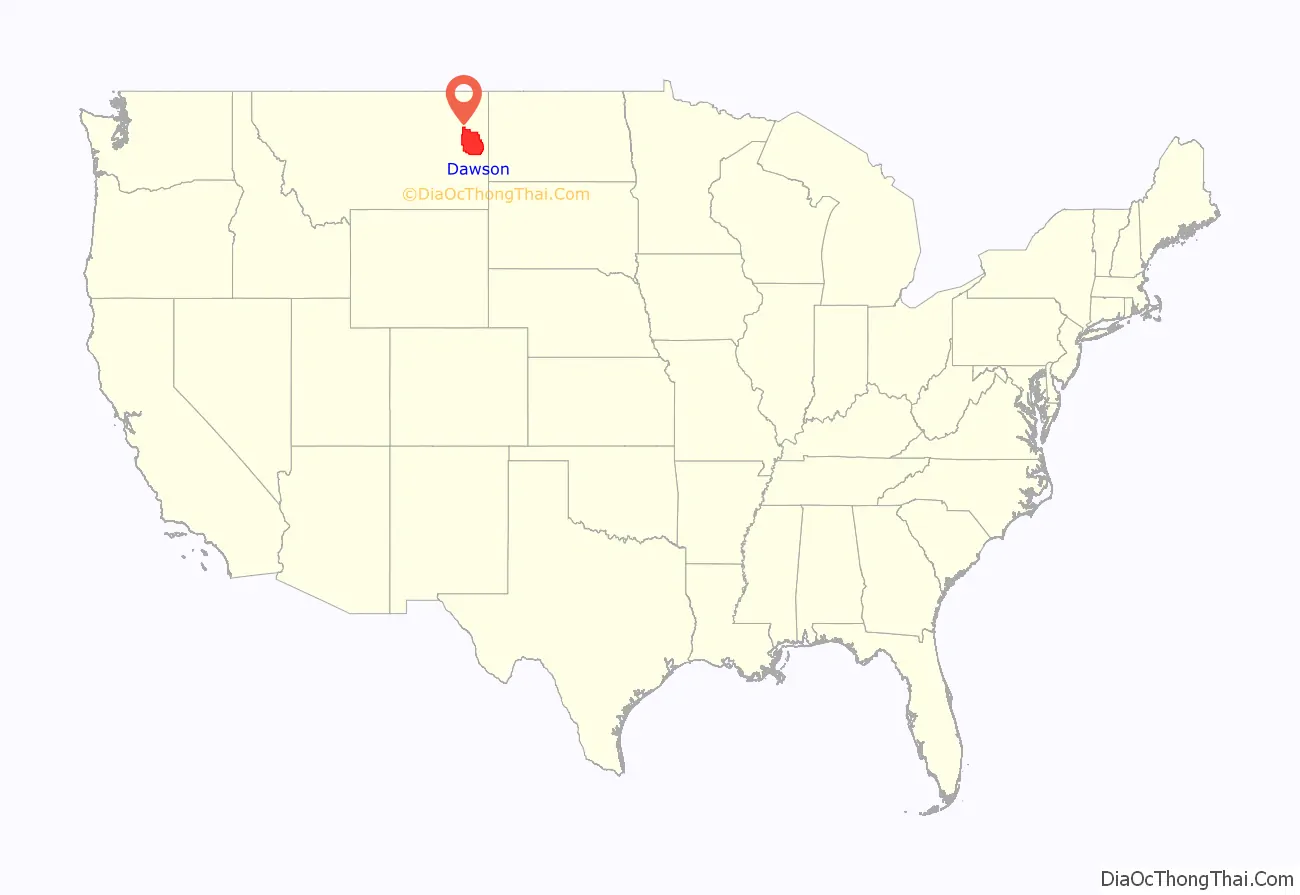
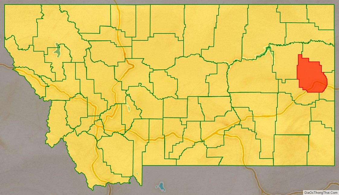
Dawson County location map. Where is Dawson County?
History
Dawson County was the tenth county organized in Montana Territory. It was created January 15, 1869, four and a half years after Montana Territory was organized. Before the formation of Dawson county, the area was the northern half of the original Big Horn County. Dawson takes its name from Major Andrew Dawson, manager of the Fort Benton Trading Post for the American Fur Company from 1856 to 1864.
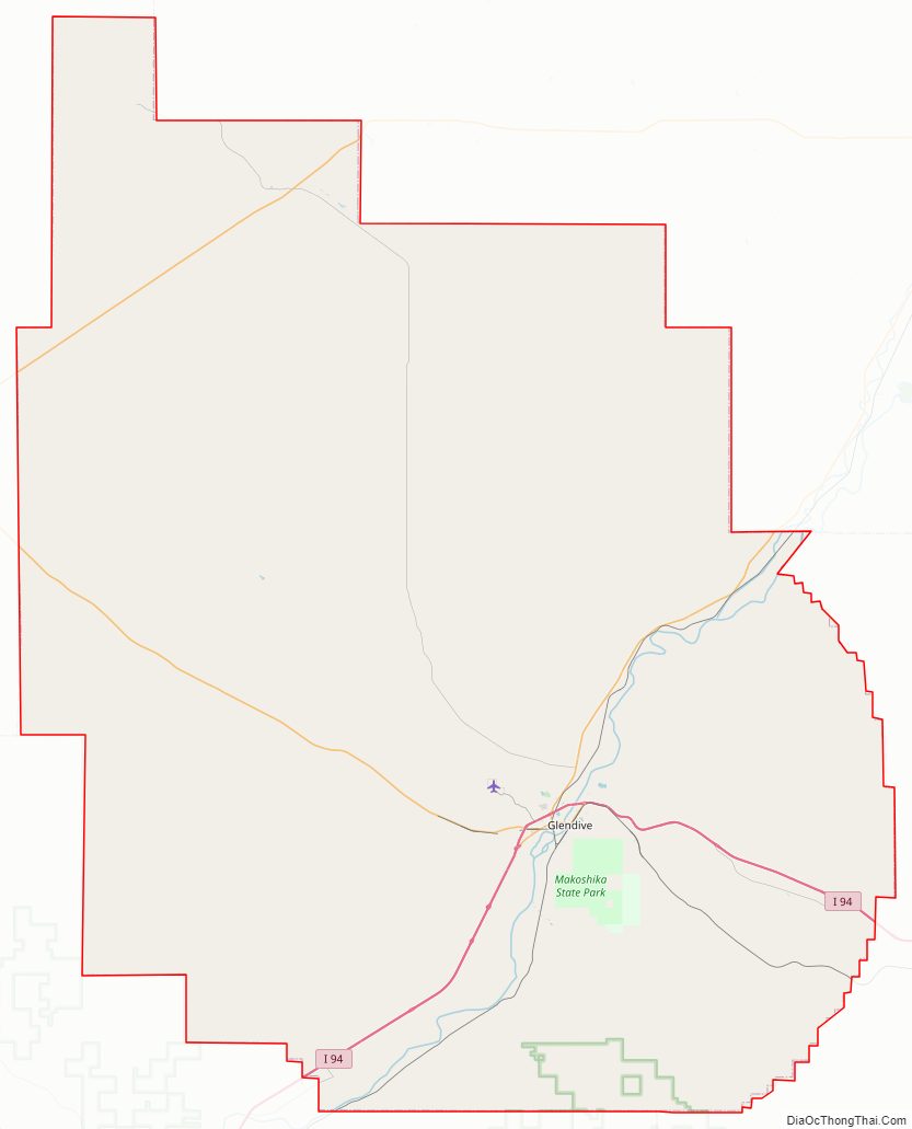
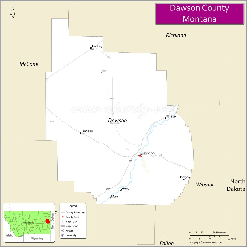
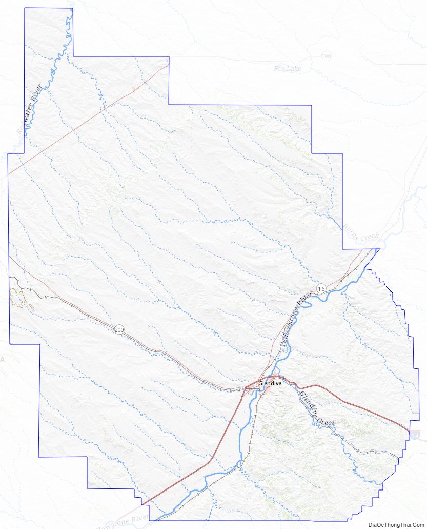
Dawson County Road Map
Geography
According to the United States Census Bureau, the county has a total area of 2,383 square miles (6,170 km), of which 2,372 square miles (6,140 km) is land and 11 square miles (28 km) (0.5%) is water.
Dawson County is located in the extreme eastern portion of Montana, about fifteen to twenty miles west of the Dakota line.
Dawson County contains part of Montana’s badlands. Makoshika State Park is an example of that area’s unusual rock formations. Dawson County’s principal water sources are the Yellowstone River, which bisects its southeastern section, and the Redwater River in its northwest corner. Numerous creeks are tributary to these streams, furnishing abundant and accessible facilities watering livestock and for small irrigation enterprises and water conservation projects. In the upper bench lands, artesian well irrigation has received considerable attention.
The largest Triceratops skull ever found was discovered in 1992 and excavated in 2003 in Dawson County, Montana, in the famous Hell Creek Formation. It is a 65-million-year-old male Triceratops skull, 9.2 feet long, 5.2 feet high and 4.6 feet wide and weighing over 600kg. It has been dubbed ‘Dragon King’ and is understood to be the most expensive skull to ever trade privately.
Parts of Dawson County were taken to form Valley County in 1893, Richland County and part of Wibaux County in 1914, part of Prairie County in 1915, and Garfield County and part of McCone County in 1919.
Major highways
- Interstate 94
- U.S. Highway 10 (Former)
- Montana Highway 16
- Montana Highway 200
- Montana Highway 200 (Alternate)
- Montana Highway 254
In 1920, Dawson County was traversed by the National Parks Highway or Red Trail, the Black Trail, the Green Trail and the Blue Trail, all of which passed through Glendive.
Adjacent counties
- Richland County – north
- Wibaux County – east
- Prairie County – south
- McCone County – west
Dawson County Topographic Map
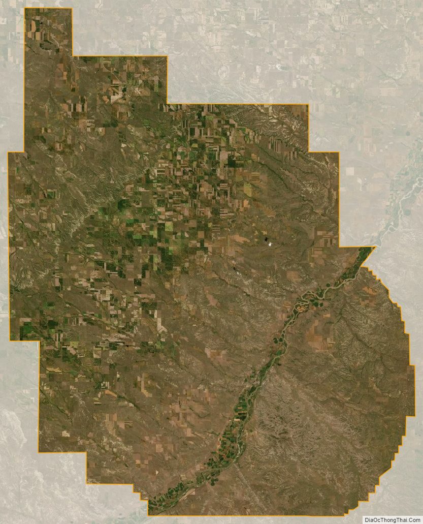
Dawson County Satellite Map
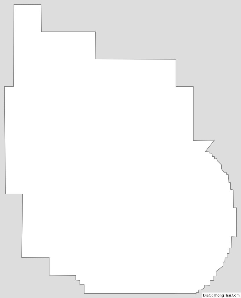
Dawson County Outline Map