McCone County is a county located in the U.S. state of Montana. As of the 2020 census, the population was 1,729. Its county seat is Circle.
The county was created in 1919. It was named for State Senator George McCone, who had been one of the first county commissioners of Dawson County.
| Name: | McCone County |
|---|---|
| FIPS code: | 30-055 |
| State: | Montana |
| Founded: | 1919 |
| Seat: | Circle |
| Largest town: | Circle |
| Total Area: | 2,683 sq mi (6,950 km²) |
| Land Area: | 2,643 sq mi (6,850 km²) |
| Total Population: | 1,729 |
| Population Density: | 0.64/sq mi (0.25/km²) |
| Time zone: | UTC−7 (Mountain) |
| Summer Time Zone (DST): | UTC−6 (MDT) |
| Website: | mcconecountymt.com |
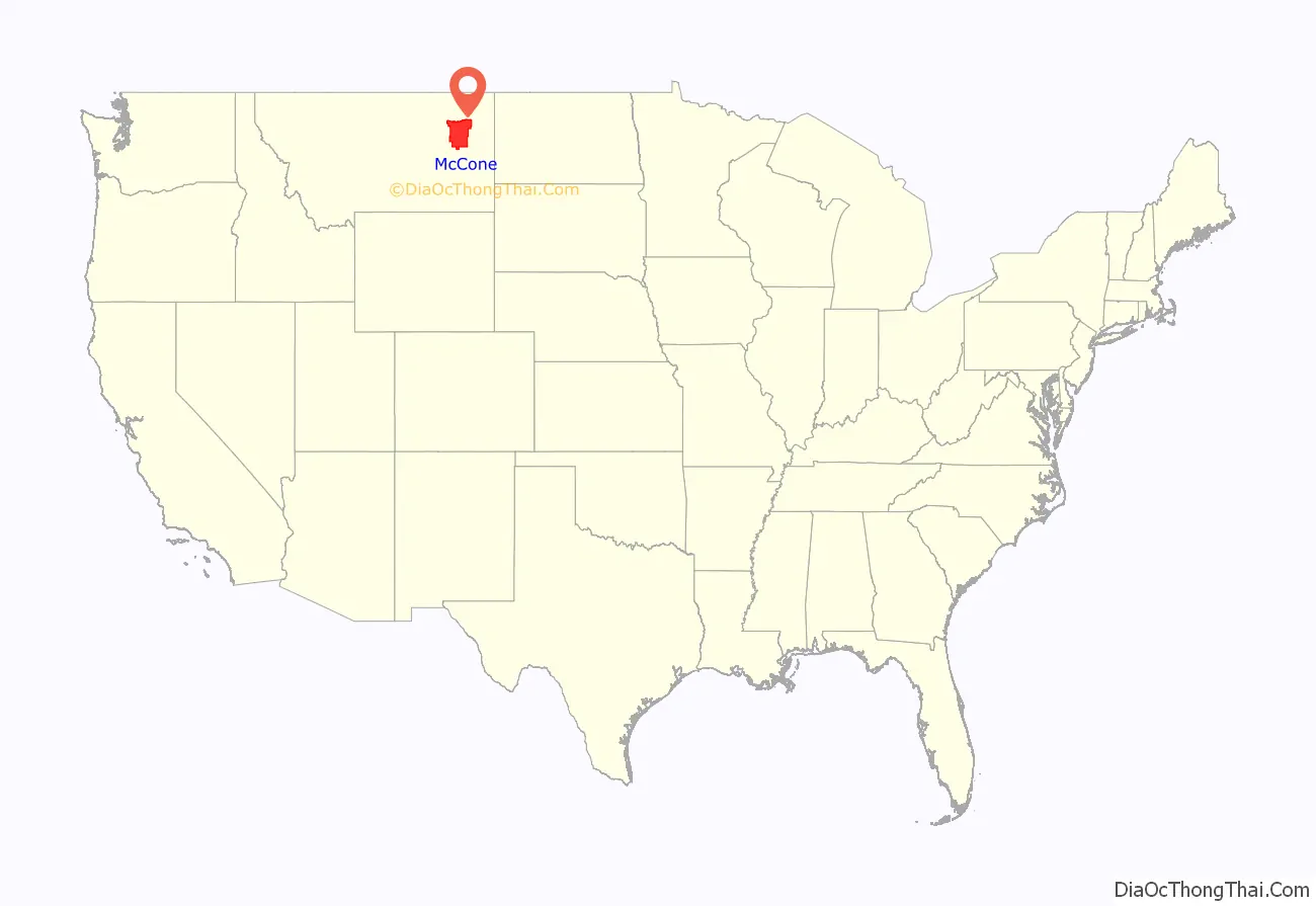
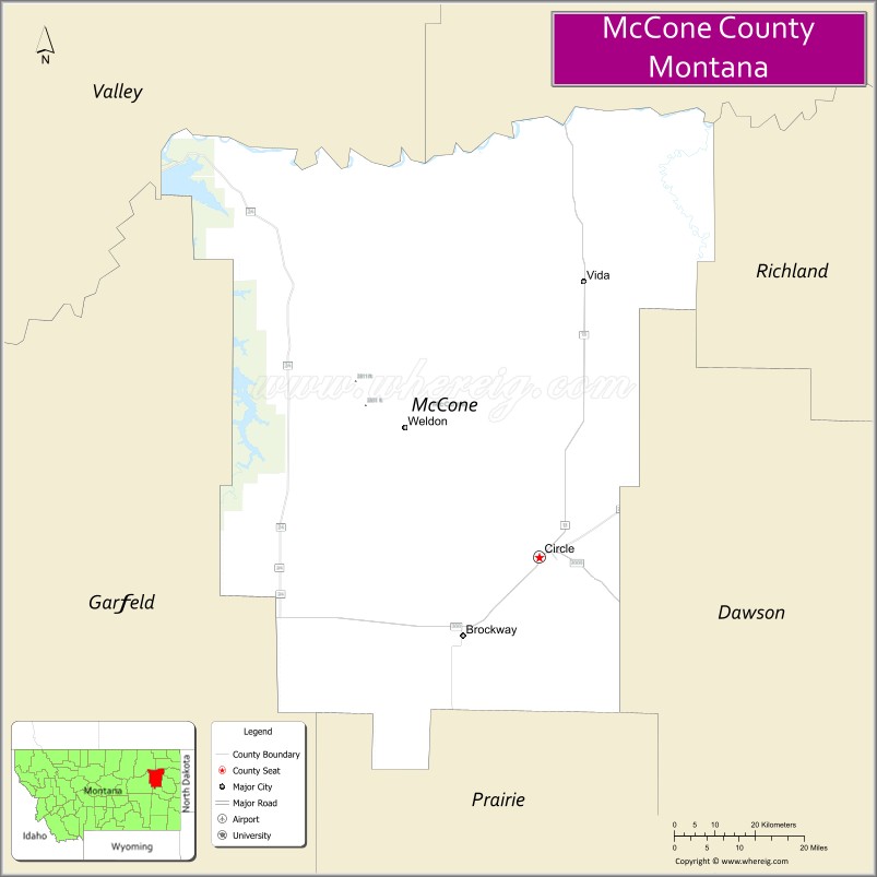
McCone County location map. Where is McCone County?
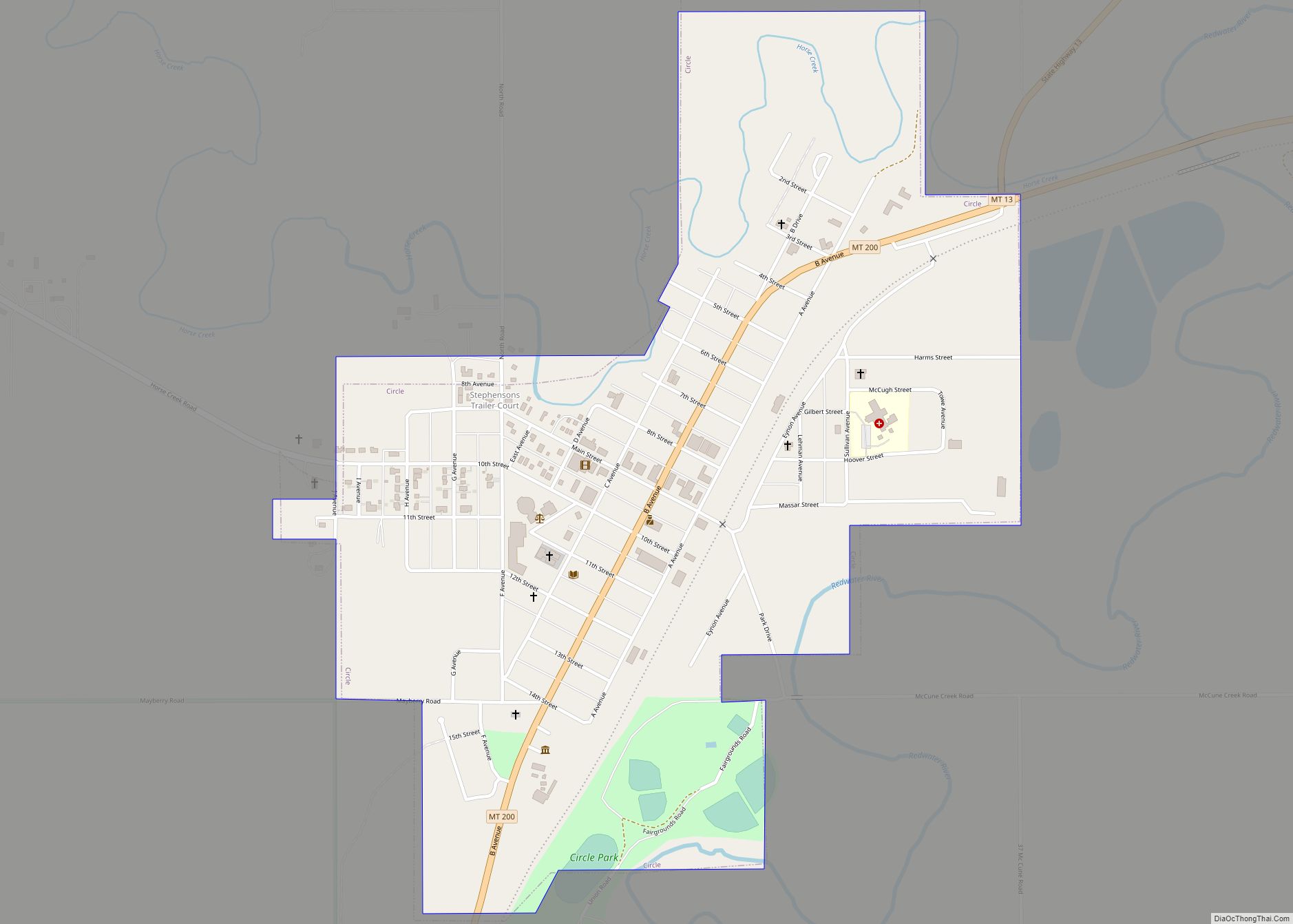
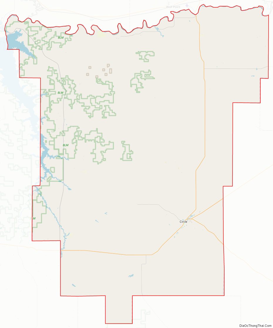
McCone County Road Map
Geography
According to the United States Census Bureau, the county has a total area of 2,683 square miles (6,950 km), of which 2,643 square miles (6,850 km) is land and 40 square miles (100 km) (1.5%) is water.
Major highways
- Montana Highway 13
- Montana Highway 24
- Montana Highway 200
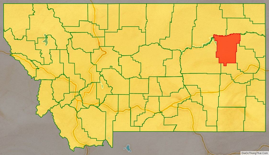
Adjacent counties
- Valley County – west
- Roosevelt County – north
- Richland County – northeast
- Dawson County – east
- Prairie County – south
- Garfield County – west
National protected area
- Charles M. Russell National Wildlife Refuge (part)
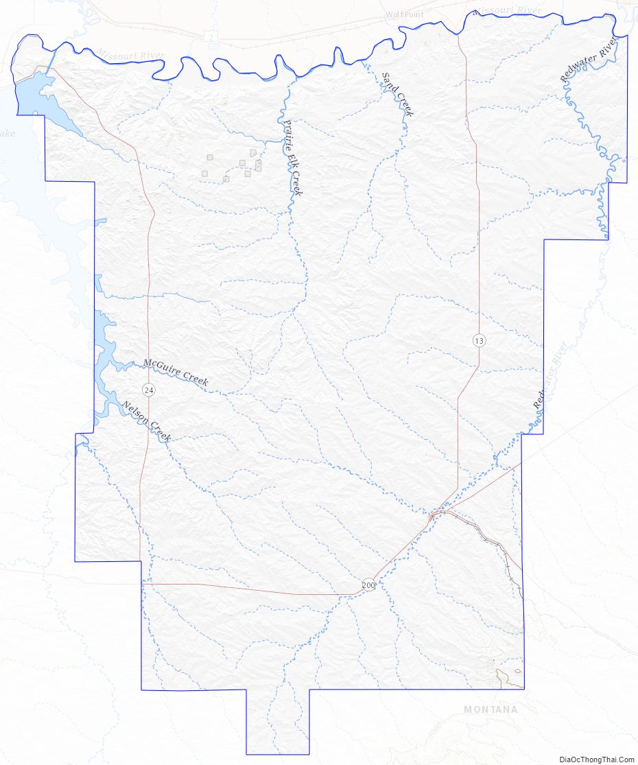
McCone County Topographic Map
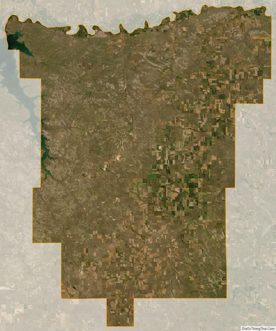
McCone County Satellite Map
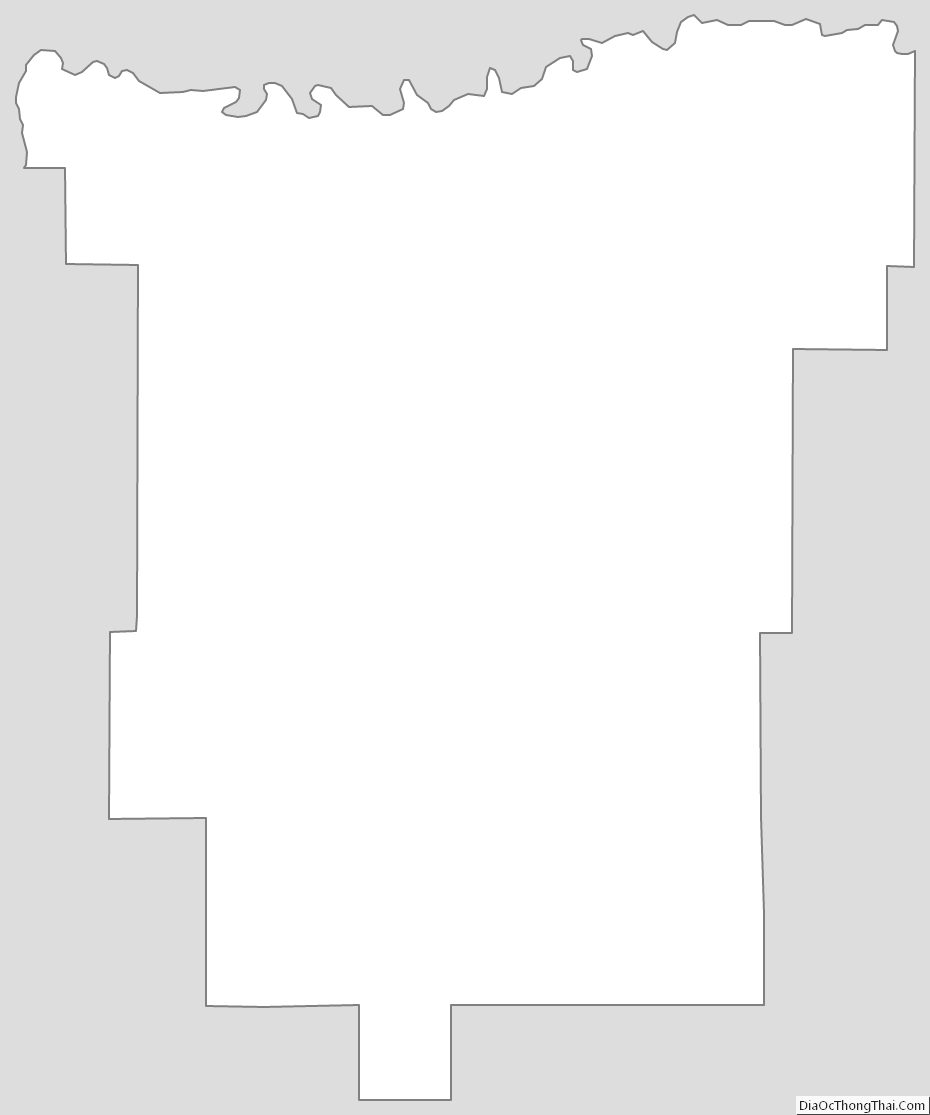
McCone County Outline Map