Glendive is a city in and the county seat of Dawson County, Montana, United States, and home to Dawson Community College. Glendive was established by the Northern Pacific Railway when they built the transcontinental railroad across the northern tier of the western United States from Minnesota to the Pacific Coast. The town was the headquarters for the Yellowstone Division that encompassed 875 route miles (1,408 km); 546 (879) in main line and 328 (528) in branches with the main routes from Mandan, North Dakota, to Billings, Montana, and from Billings to Livingston. The town of Glendive is an agricultural and ranching hub of eastern Montana sited between the Yellowstone River and the Badlands. Makoshika State Park is located just east of Glendive.
The population was 4,873 at the 2020 census.
| Name: | Glendive city |
|---|---|
| LSAD Code: | 25 |
| LSAD Description: | city (suffix) |
| State: | Montana |
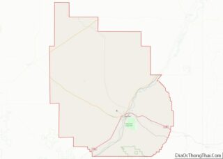
| County: | Dawson County |
| Elevation: | 2,064 ft (629 m) |
| Total Area: | 3.50 sq mi (9.06 km²) |
| Land Area: | 3.47 sq mi (9.00 km²) |
| Water Area: | 0.02 sq mi (0.06 km²) |
| Total Population: | 4,873 |
| Population Density: | 1,402.71/sq mi (541.60/km²) |
| ZIP code: | 59330 |
| Area code: | 406 |
| FIPS code: | 3031450 |
| GNISfeature ID: | 0771800 |
| Website: | www.cityofglendive.us |
Online Interactive Map
Click on ![]() to view map in "full screen" mode.
to view map in "full screen" mode.
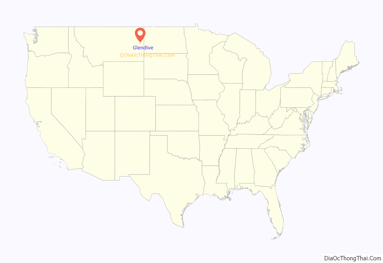
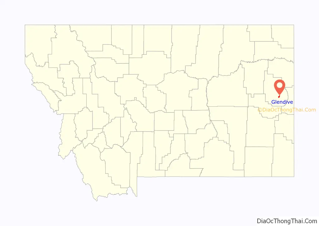
Glendive location map. Where is Glendive city?
History
Glendive was established by the Northern Pacific Railway during the building of the railroad line. The settlement mainly consisted of tents and log cabins until a building boom ensued with the arrival of first load of lumber in 1881.
The Montana territorial legislature created Dawson County in 1869 but did not name a county seat, instead placing it administratively under Meagher County. In 1881, Glendive citizens petitioned to name it the county seat.
In January 2015, Glendive was the site of a major oil spill from a pipeline which also contaminated drinking water.
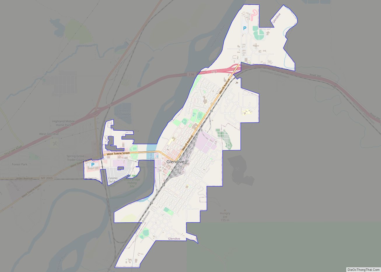
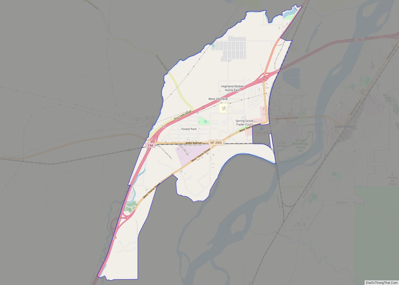
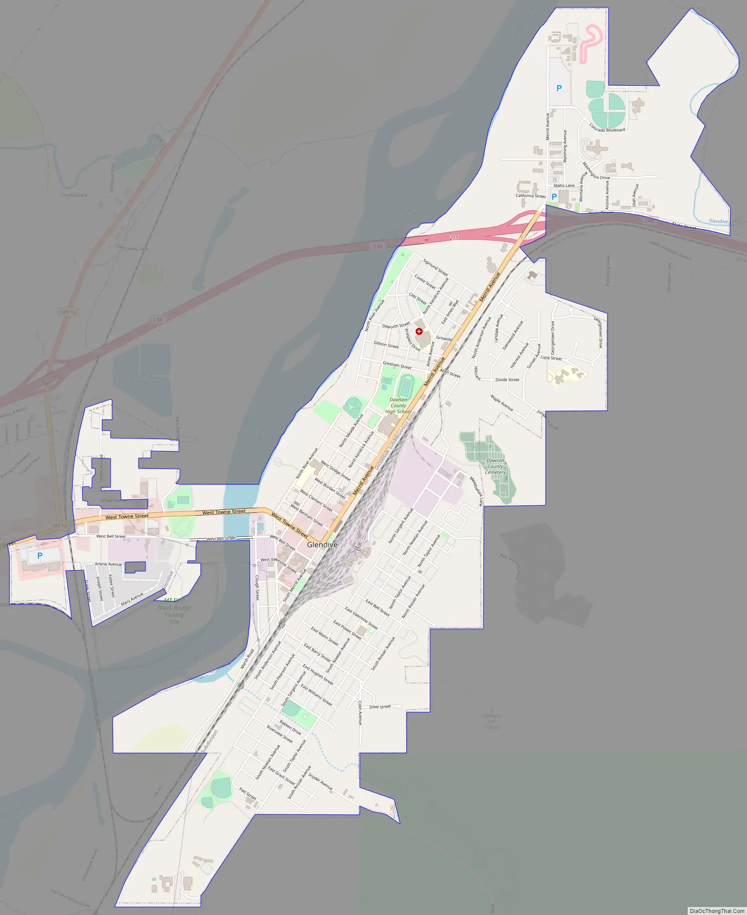
Glendive Road Map
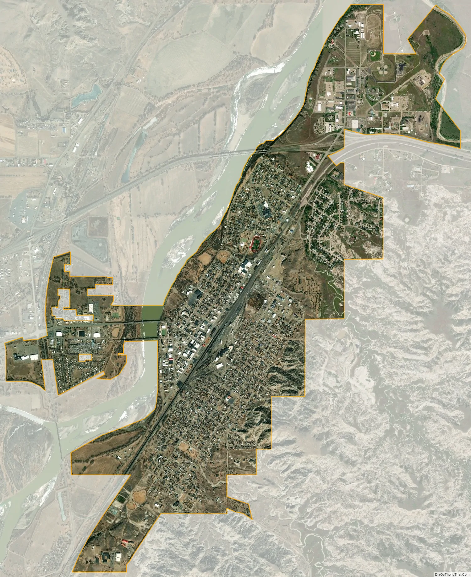
Glendive city Satellite Map
Geography
The elevation of the city is 2,064 feet (629 m). Interstate 94 passes through town with access from exits 215, 224 and 231. Montana Highway 16 begins in West Glendive. The Yellowstone River cuts through town.
According to the U.S. Census Bureau, the city has a total area of 3.35 square miles (8.68 km), of which 3.32 square miles (8.60 km) is land and 0.03 square miles (0.08 km) is water.
Climate
Glendive experiences a semi-arid climate (Köppen BSk) with long, cold, dry winters and hot, wetter summers. Together with Medicine Lake, the town holds the state’s all-time-high record of 117 °F (47 °C), which was recorded on July 20, 1893, in Glendive and on July 5, 1937, in Medicine Lake. On June 29, 1961, an F4 tornado struck Glendive, causing between $500,000 and $5 million in damage.
See also
Map of Montana State and its subdivision:- Beaverhead
- Big Horn
- Blaine
- Broadwater
- Carbon
- Carter
- Cascade
- Chouteau
- Custer
- Daniels
- Dawson
- Deer Lodge
- Fallon
- Fergus
- Flathead
- Gallatin
- Garfield
- Glacier
- Golden Valley
- Granite
- Hill
- Jefferson
- Judith Basin
- Lake
- Lewis and Clark
- Liberty
- Lincoln
- Madison
- McCone
- Meagher
- Mineral
- Missoula
- Musselshell
- Park
- Petroleum
- Phillips
- Pondera
- Powder River
- Powell
- Prairie
- Ravalli
- Richland
- Roosevelt
- Rosebud
- Sanders
- Sheridan
- Silver Bow
- Stillwater
- Sweet Grass
- Teton
- Toole
- Treasure
- Valley
- Wheatland
- Wibaux
- Yellowstone
- Alabama
- Alaska
- Arizona
- Arkansas
- California
- Colorado
- Connecticut
- Delaware
- District of Columbia
- Florida
- Georgia
- Hawaii
- Idaho
- Illinois
- Indiana
- Iowa
- Kansas
- Kentucky
- Louisiana
- Maine
- Maryland
- Massachusetts
- Michigan
- Minnesota
- Mississippi
- Missouri
- Montana
- Nebraska
- Nevada
- New Hampshire
- New Jersey
- New Mexico
- New York
- North Carolina
- North Dakota
- Ohio
- Oklahoma
- Oregon
- Pennsylvania
- Rhode Island
- South Carolina
- South Dakota
- Tennessee
- Texas
- Utah
- Vermont
- Virginia
- Washington
- West Virginia
- Wisconsin
- Wyoming