Martin County is a county in the U.S. state of Texas. As of the 2010 census, its population was 5,237. Its county seat is Stanton. The county was created in 1876 and organized in 1884. It is named for Wylie Martin, an early settler.
Until November 2018, Martin County was one of six entirely dry counties in Texas. During that month, Martin County changed from a dry county to a partially wet county after Stanton residents voted to approve the sale of beer and wine within city limits. Five dry counties remain.
Martin County is included in the Midland–Odessa combined statistical area.
| Name: | Martin County |
|---|---|
| FIPS code: | 48-317 |
| State: | Texas |
| Founded: | 1884 |
| Named for: | Wylie Martin |
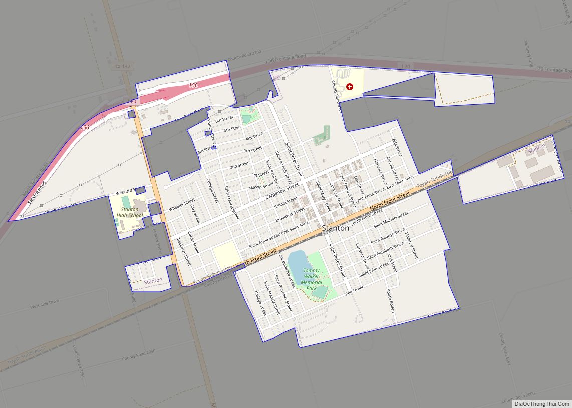
| Seat: | Stanton |
| Largest city: | Midland |
| Total Area: | 916 sq mi (2,370 km²) |
| Land Area: | 915 sq mi (2,370 km²) |
| Total Population: | 5,237 |
| Population Density: | 5.7/sq mi (2.2/km²) |
| Time zone: | UTC−6 (Central) |
| Summer Time Zone (DST): | UTC−5 (CDT) |
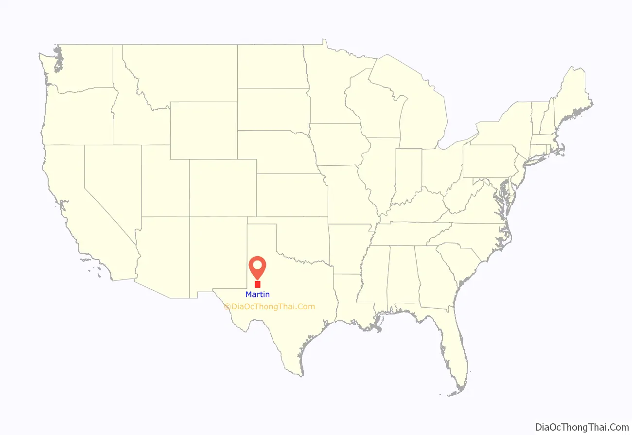
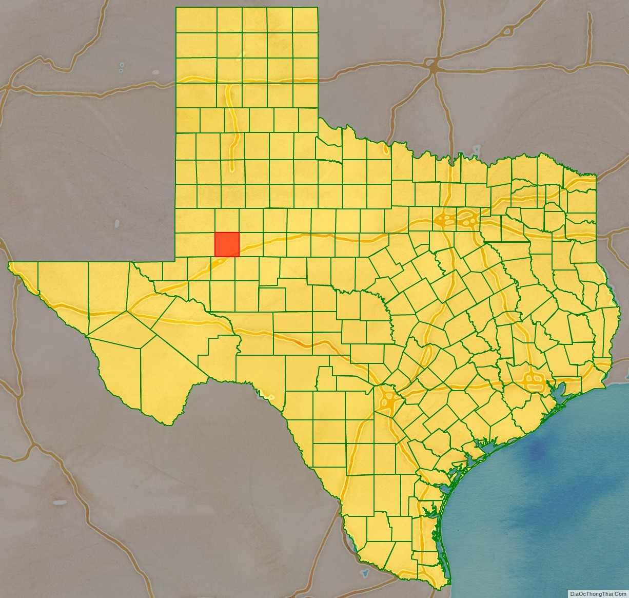
Martin County location map. Where is Martin County?
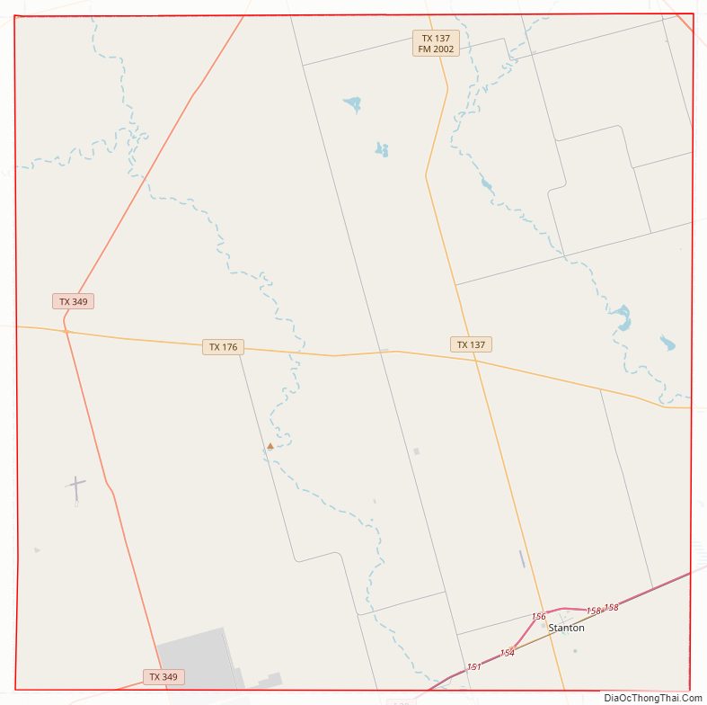
Martin County Road Map
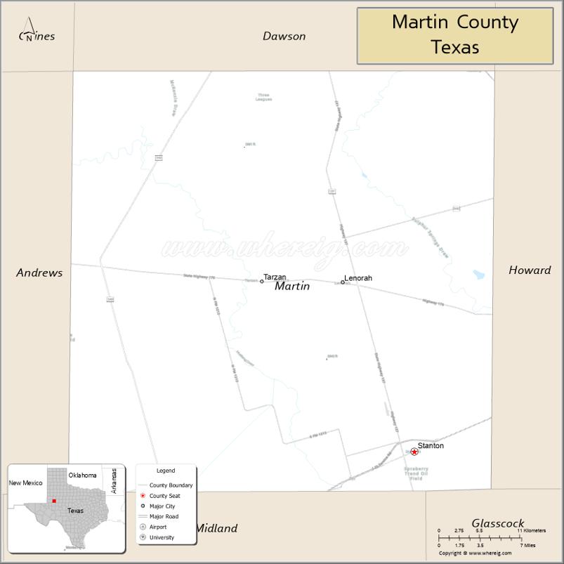
Geography
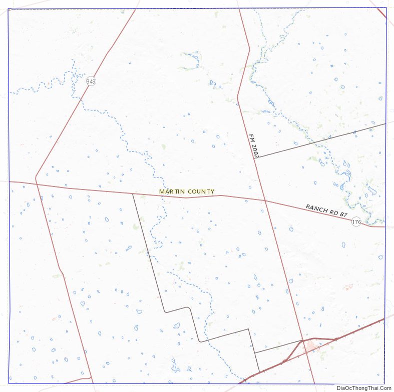
According to the U.S. Census Bureau, the county has an area of 916 square miles (2,370 km), of which 915 square miles (2,370 km) is land and 0.7 square miles (1.8 km) (0.08%) is water. The northern portion of the Spraberry Trend, the second-largest oil field in the United States by 2013 estimated crude oil production, underlies much of the county.
Major highways
- I-20
- I-20 BL
- US 87
- SH 115
- SH 137
- SH 176
- SH 349
Adjacent counties
- Dawson County (north)
- Howard County (east)
- Glasscock County (southeast)
- Midland County (south)
- Andrews County (west)
- Gaines County (northwest)
Martin County Topographic Map
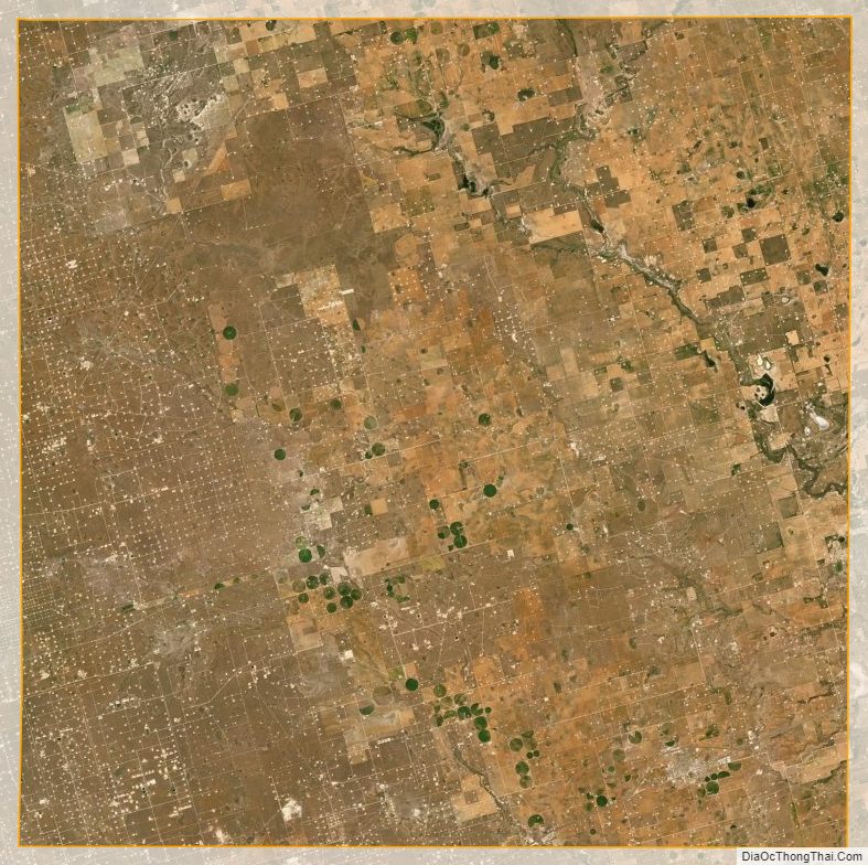
Martin County Satellite Map
Martin County Outline Map