Midland is a city in and the county seat of Midland County, Texas, United States. A small part of Midland is in Martin County.
At the 2020 census, Midland’s population was 132,524. It is the principal city of the Midland, Texas metropolitan statistical area, which includes all of Midland County, the population of which was 169,983 in the 2020 U.S. Census. The metropolitan area is part of the larger Midland–Odessa combined statistical area, which had a population of 340,391 in the 2020 census. Residents of Midland are referred to as ‘Midlandians’.
Located in the Permian Basin in West Texas, Midland is a major center for oil and natural gas production. Midland was founded as the midway point between Fort Worth and El Paso on the Texas and Pacific Railroad in 1881. The city has many connections to the Bush family; It was the onetime home of former Presidents George H. W. Bush and George W. Bush and the hometown of former First Lady Laura Bush. The George W. Bush Childhood Home is located in Midland.
| Name: | Midland city |
|---|---|
| LSAD Code: | 25 |
| LSAD Description: | city (suffix) |
| State: | Texas |
| County: | Martin County, Midland County |
| Elevation: | 2,782 ft (848 m) |
| Land Area: | 75.45 sq mi (195.41 km²) |
| Water Area: | 0.17 sq mi (0.44 km²) |
| Population Density: | 1,935.56/sq mi (747.33/km²) |
| ZIP code: | 79701-12 |
| Area code: | 432 |
| FIPS code: | 4848072 |
| GNISfeature ID: | 1341547 |
| Website: | midlandtexas.gov |
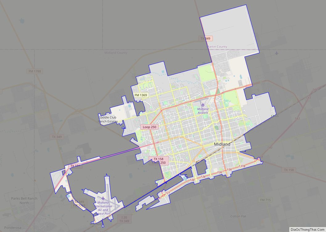
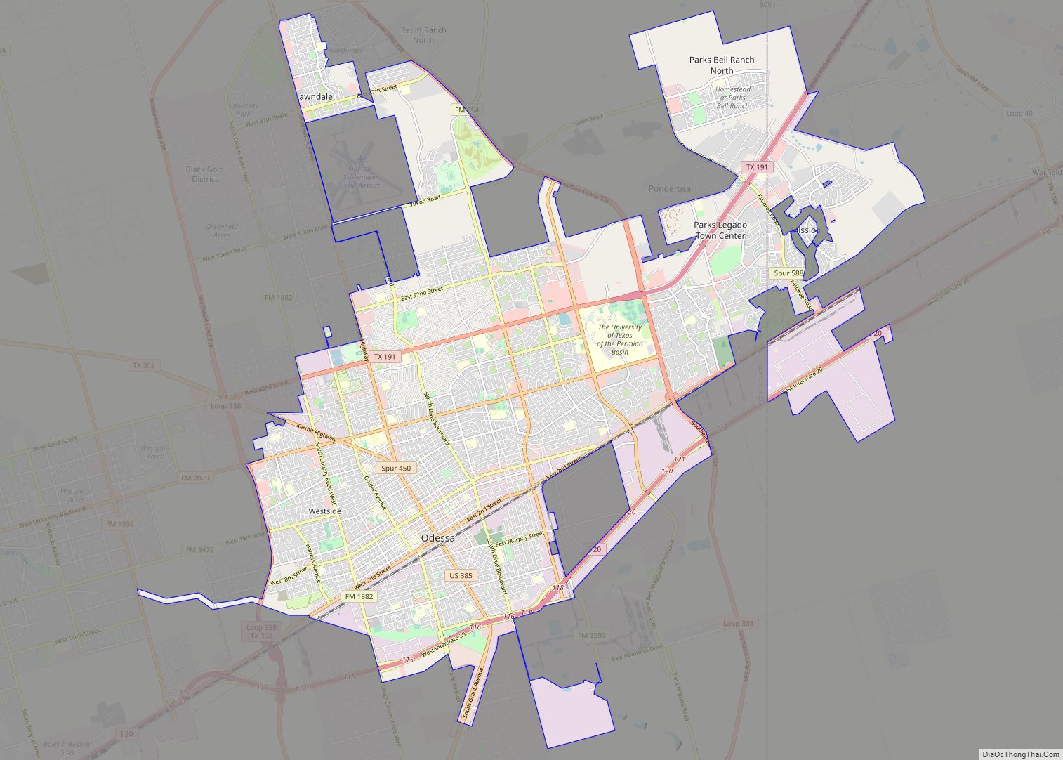
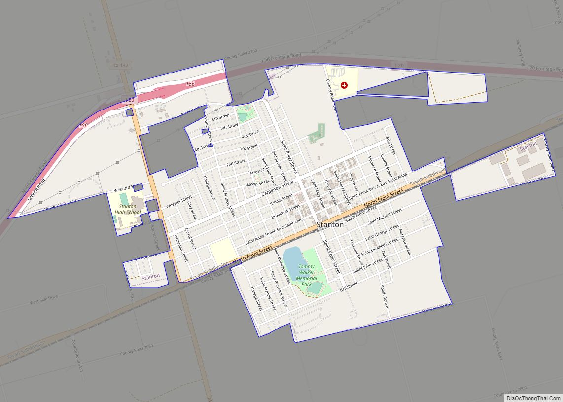
Online Interactive Map
Click on ![]() to view map in "full screen" mode.
to view map in "full screen" mode.
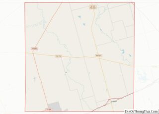
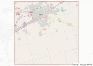
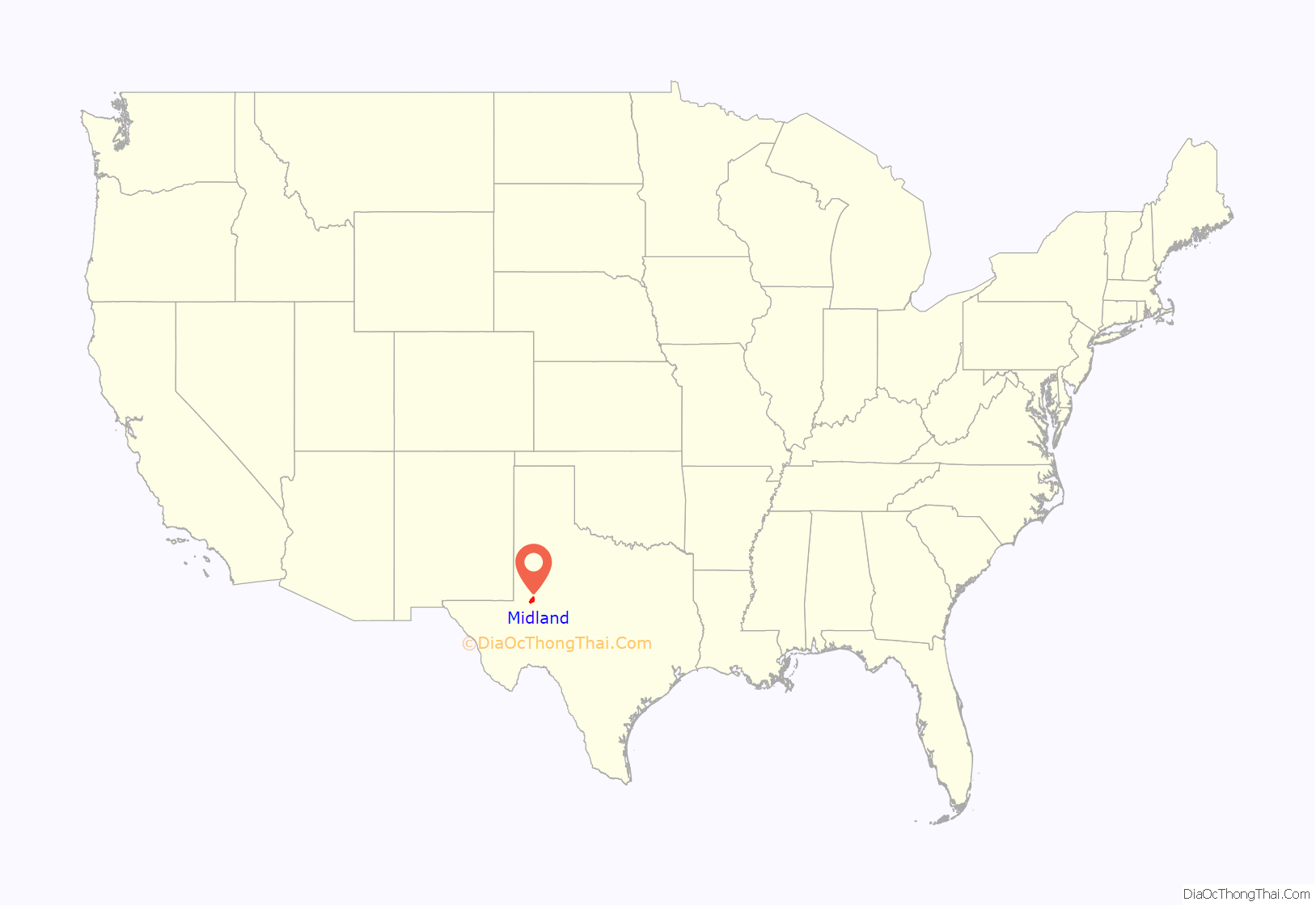
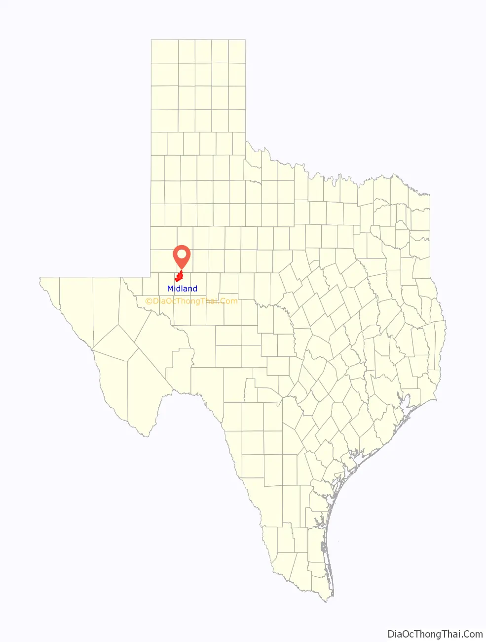
Midland location map. Where is Midland city?
History
Midland was established in June 1881 as Midway Station, on the Texas and Pacific Railway. Its name came from its central location between Fort Worth and El Paso, but because there were already other towns in Texas named Midway, the city changed its name to Midland in January 1884 when it was granted its first post office.
Midland became the county seat of Midland County in March 1885, when that county was first organized and separated from Tom Green County. By 1890, it had become one of the state’s most important cattle shipping centers. The city was incorporated in 1906, and by 1910 established its first fire department, along with a new water system.
Midland was changed significantly by the discovery of oil in the Permian Basin in 1923 when the Santa Rita No. 1 well began producing in Reagan County, followed shortly by the Yates Oil Field in Iraan. Midland became the West Texas oil fields’ administrative center. During World War II, it had the nation’s largest bombardier training base. A second boom began after the war, with the discovery and development of the Spraberry Trend, still the country’s third-largest oil field by total reserves. Yet another boom period took place during the 1970s, with the high oil prices associated with the oil and energy crises. Today, the Permian Basin produces one fifth of the nation’s total petroleum and natural gas output.
Midland’s economy still relies heavily on petroleum, but the city has also become a regional telecommunications and distribution center. By August 2006, a busy period of crude oil production had caused a significant workforce deficit. According to the Midland Chamber of Commerce, at that time there were almost 2,000 more jobs available in the Permian Basin than there were workers to fill them.
In 1959, John Howard Griffin wrote a history of Midland, Land of the High Sky.
Avery v. Midland County
In 1967, the U.S. Supreme Court heard the case Avery v. Midland County. Midland mayor Hank Avery had sued Midland County, challenging the electoral-districting scheme in effect for elections to the County Commissioner’s Court. The county districts geographically quartered the county, but Midland, in the northwestern quarter, had 97% of the county’s population. A judge, elected on an at-large basis, provided a fifth vote, but the result was that the three rural commissioners, representing only 3% of the county’s population, held a majority of the votes.
The Court held that the scheme violated the Fourteenth Amendment’s Equal Protection clause. A dissenting minority held that this example of the Warren Court’s policy of incorporation at the local-government level exceeded its constitutional authority.
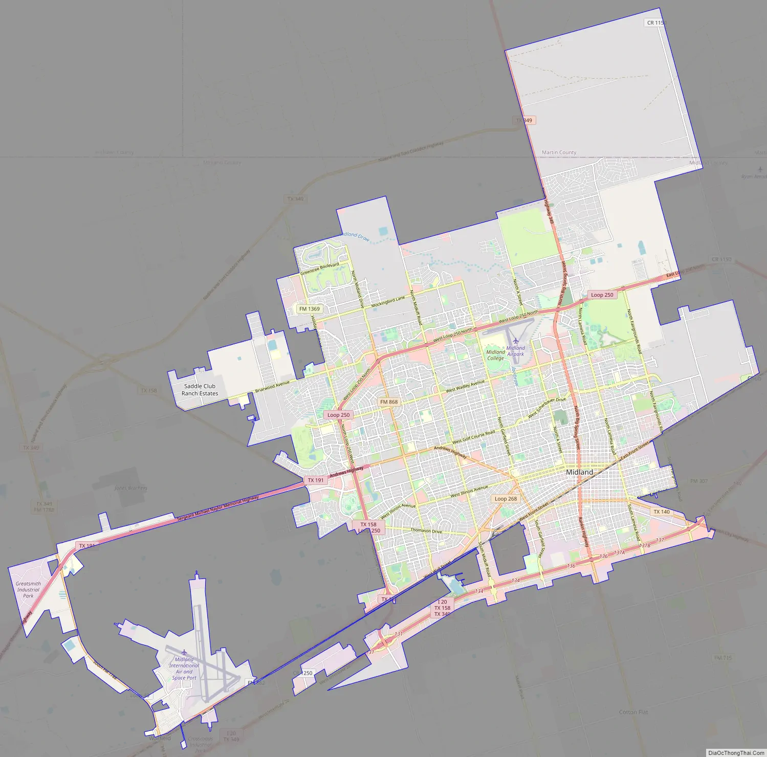
Midland Road Map
Midland city Satellite Map
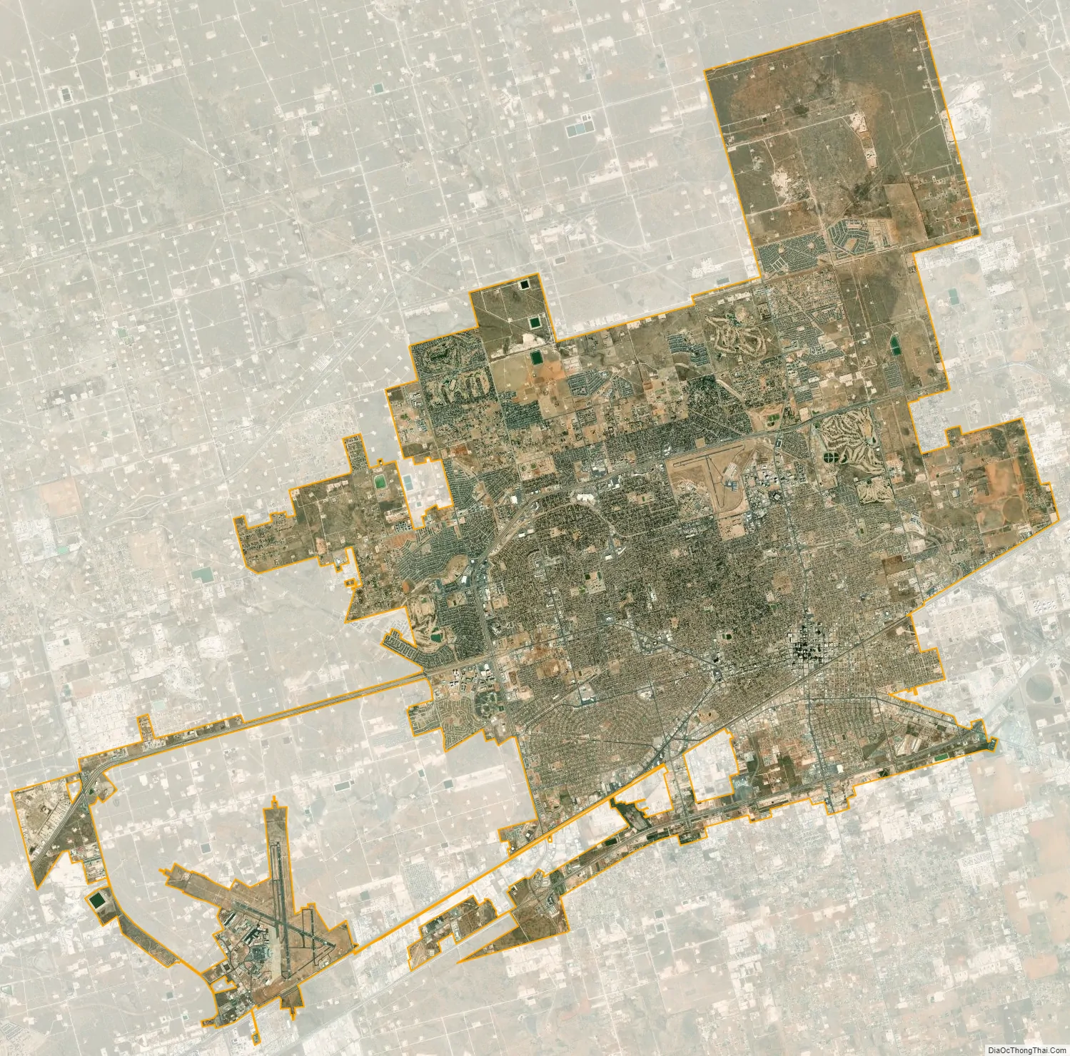
Geography
Midland is in the Permian Basin in West Texas plains.
According to the United States Census Bureau, the city has an area of 71.5 square miles (185.2 km), of which 71.3 square miles (184.7 km) is land and 0.2 square mile (0.5 km) (0.28%) is water.
Climate
Midland has a semi-arid climate (Köppen BSh or BSk) with hot summers and cool to mild winters. It occasionally has cold waves during the winter, but rarely sees extended periods of below-freezing cold. Midland receives approximately 13.5 inches (340 mm) of precipitation per year, much of which falls in the summer. Highs exceed 90 °F (32 °C) on 115 days per year and 100 °F (38 °C) on 24 days while lows fall to 32 °F (0 °C) or below on 58 days.
- ^ Mean monthly maxima and minima (i.e. the highest and lowest temperature readings during an entire month or year) calculated based on data at said location from 1991 to 2020.
Cityscape
Nicknamed “The Tall City”, Midland has long been known for its downtown skyline. Most of downtown Midland’s major office buildings were built during a time of major Permian Basin oil and gas discoveries. The surge in energy prices in the mid-1980s sparked a building boom downtown. For many years, the 22-story Wilco Building in downtown was the tallest building between Fort Worth and Phoenix. Today, the tallest is the 24-story Bank of America Building, at 332 feet (101 m). Four buildings over 500 feet (150 m) tall were planned in the 1980s, including one designed by architect I.M. Pei.
The great oil bust of the mid-1980s killed any plans for future skyscrapers. A private development group was planning to build Energy Tower at City Center, which was proposed to be 870 feet tall, with 59 floors (six floors underground and 53 above). If it had been built, it would have been Texas’s sixth-tallest building.
Downtown
Summit Building (center) and Wilco Building (background)
Petroleum Building, with Centennial Tower on right
City Hall
Kinder Morgan Building
Downtown Doubletree Hotel
Yucca Theater at the Petroleum Building
First Presbyterian Church
Downtown from Ohio Avenue
See also
Map of Texas State and its subdivision:- Anderson
- Andrews
- Angelina
- Aransas
- Archer
- Armstrong
- Atascosa
- Austin
- Bailey
- Bandera
- Bastrop
- Baylor
- Bee
- Bell
- Bexar
- Blanco
- Borden
- Bosque
- Bowie
- Brazoria
- Brazos
- Brewster
- Briscoe
- Brooks
- Brown
- Burleson
- Burnet
- Caldwell
- Calhoun
- Callahan
- Cameron
- Camp
- Carson
- Cass
- Castro
- Chambers
- Cherokee
- Childress
- Clay
- Cochran
- Coke
- Coleman
- Collin
- Collingsworth
- Colorado
- Comal
- Comanche
- Concho
- Cooke
- Coryell
- Cottle
- Crane
- Crockett
- Crosby
- Culberson
- Dallam
- Dallas
- Dawson
- Deaf Smith
- Delta
- Denton
- Dewitt
- Dickens
- Dimmit
- Donley
- Duval
- Eastland
- Ector
- Edwards
- El Paso
- Ellis
- Erath
- Falls
- Fannin
- Fayette
- Fisher
- Floyd
- Foard
- Fort Bend
- Franklin
- Freestone
- Frio
- Gaines
- Galveston
- Garza
- Gillespie
- Glasscock
- Goliad
- Gonzales
- Gray
- Grayson
- Gregg
- Grimes
- Guadalupe
- Hale
- Hall
- Hamilton
- Hansford
- Hardeman
- Hardin
- Harris
- Harrison
- Hartley
- Haskell
- Hays
- Hemphill
- Henderson
- Hidalgo
- Hill
- Hockley
- Hood
- Hopkins
- Houston
- Howard
- Hudspeth
- Hunt
- Hutchinson
- Irion
- Jack
- Jackson
- Jasper
- Jeff Davis
- Jefferson
- Jim Hogg
- Jim Wells
- Johnson
- Jones
- Karnes
- Kaufman
- Kendall
- Kenedy
- Kent
- Kerr
- Kimble
- King
- Kinney
- Kleberg
- Knox
- La Salle
- Lamar
- Lamb
- Lampasas
- Lavaca
- Lee
- Leon
- Liberty
- Limestone
- Lipscomb
- Live Oak
- Llano
- Loving
- Lubbock
- Lynn
- Madison
- Marion
- Martin
- Mason
- Matagorda
- Maverick
- McCulloch
- McLennan
- McMullen
- Medina
- Menard
- Midland
- Milam
- Mills
- Mitchell
- Montague
- Montgomery
- Moore
- Morris
- Motley
- Nacogdoches
- Navarro
- Newton
- Nolan
- Nueces
- Ochiltree
- Oldham
- Orange
- Palo Pinto
- Panola
- Parker
- Parmer
- Pecos
- Polk
- Potter
- Presidio
- Rains
- Randall
- Reagan
- Real
- Red River
- Reeves
- Refugio
- Roberts
- Robertson
- Rockwall
- Runnels
- Rusk
- Sabine
- San Augustine
- San Jacinto
- San Patricio
- San Saba
- Schleicher
- Scurry
- Shackelford
- Shelby
- Sherman
- Smith
- Somervell
- Starr
- Stephens
- Sterling
- Stonewall
- Sutton
- Swisher
- Tarrant
- Taylor
- Terrell
- Terry
- Throckmorton
- Titus
- Tom Green
- Travis
- Trinity
- Tyler
- Upshur
- Upton
- Uvalde
- Val Verde
- Van Zandt
- Victoria
- Walker
- Waller
- Ward
- Washington
- Webb
- Wharton
- Wheeler
- Wichita
- Wilbarger
- Willacy
- Williamson
- Wilson
- Winkler
- Wise
- Wood
- Yoakum
- Young
- Zapata
- Zavala
- Alabama
- Alaska
- Arizona
- Arkansas
- California
- Colorado
- Connecticut
- Delaware
- District of Columbia
- Florida
- Georgia
- Hawaii
- Idaho
- Illinois
- Indiana
- Iowa
- Kansas
- Kentucky
- Louisiana
- Maine
- Maryland
- Massachusetts
- Michigan
- Minnesota
- Mississippi
- Missouri
- Montana
- Nebraska
- Nevada
- New Hampshire
- New Jersey
- New Mexico
- New York
- North Carolina
- North Dakota
- Ohio
- Oklahoma
- Oregon
- Pennsylvania
- Rhode Island
- South Carolina
- South Dakota
- Tennessee
- Texas
- Utah
- Vermont
- Virginia
- Washington
- West Virginia
- Wisconsin
- Wyoming