Newark (/ˈnuːɑːrk/ NEW-ark) is a small city in New Castle County, Delaware, United States. It is located 12 miles (19 km) west-southwest of Wilmington. According to the 2010 Census, the population of the city is 31,454. Newark is home to the University of Delaware. The city constitutes part of the Delaware Valley (i.e. the Philadelphia metropolitan area).
| Name: | Newark city |
|---|---|
| LSAD Code: | 25 |
| LSAD Description: | city (suffix) |
| State: | Delaware |
| County: | New Castle County |
| Founded: | 1694 |
| Incorporated: | 1758 |
| Elevation: | 128 ft (39 m) |
| Total Area: | 9.43 sq mi (24.42 km²) |
| Land Area: | 9.43 sq mi (24.42 km²) |
| Water Area: | 0.00 sq mi (0.00 km²) |
| Total Population: | 30,601 |
| Population Density: | 3,246.10/sq mi (1,253.27/km²) |
| ZIP code: | 19702, 19711-19718, 19725 |
| Area code: | 302 |
| FIPS code: | 1050670 |
| GNISfeature ID: | 214385 |
| Website: | www.newarkde.gov |
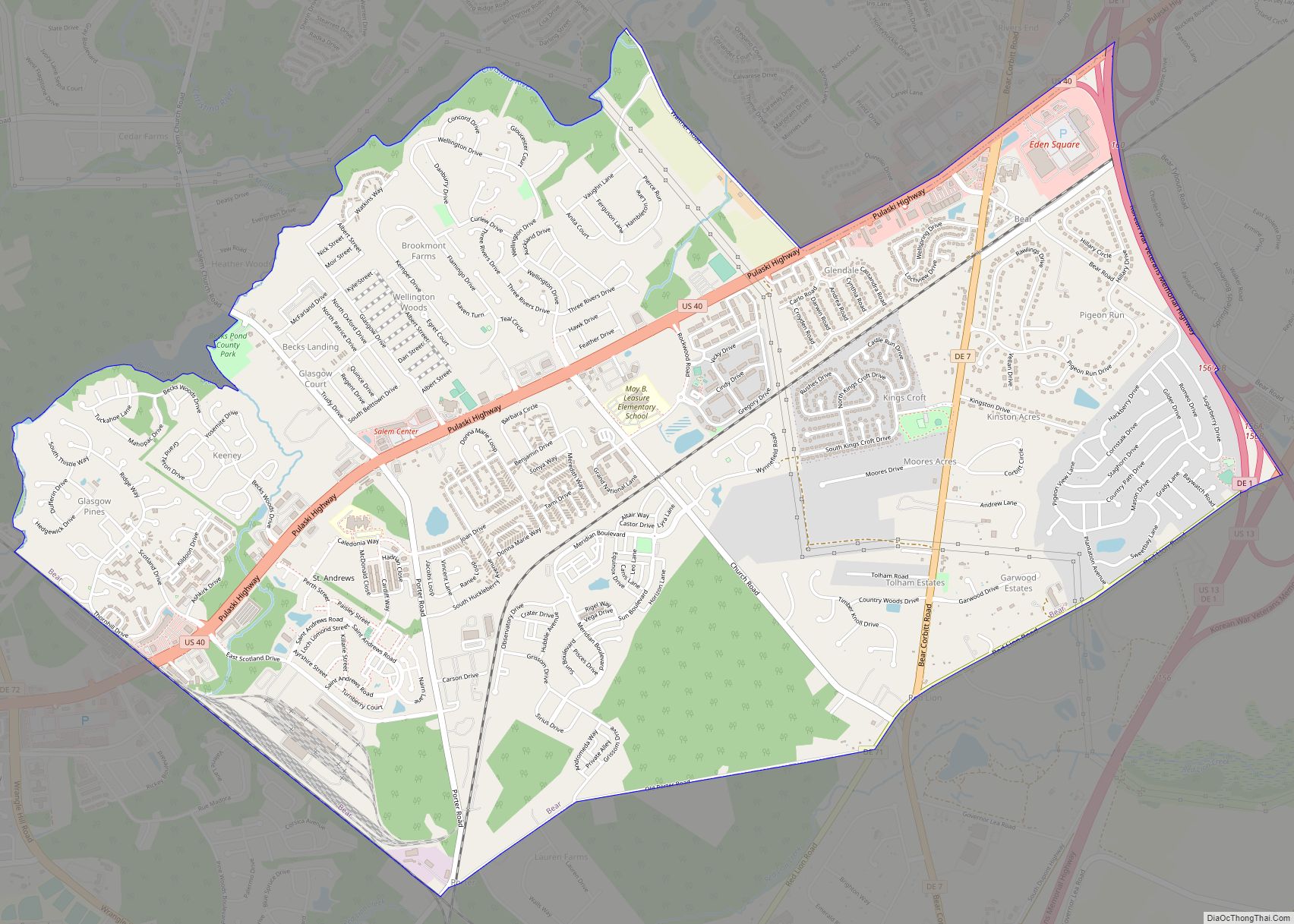
Online Interactive Map
Click on ![]() to view map in "full screen" mode.
to view map in "full screen" mode.
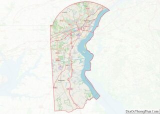
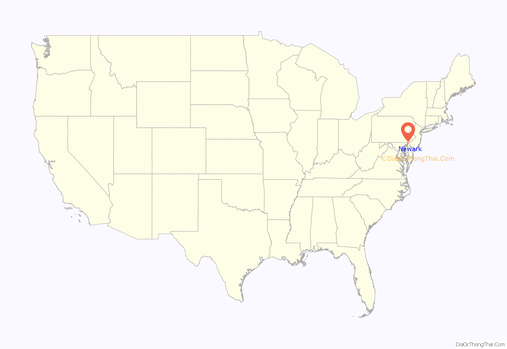
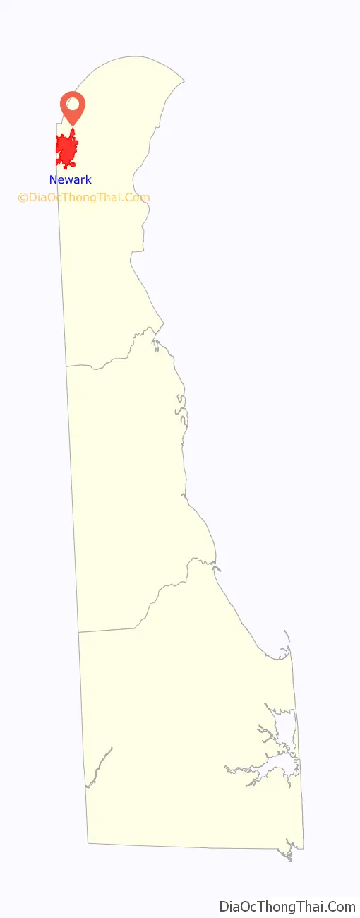
Newark location map. Where is Newark city?
History
Newark was founded by Scots-Irish and Welsh settlers in 1694. The town was officially established when it received a charter from George II of Great Britain in 1758.
Schools have played a significant role in the history of Newark. A grammar school, founded by Francis Alison in 1743, moved from New London, Pennsylvania to Newark in 1765, becoming the Newark Academy. Among the first graduates of the school were three signers of the Declaration of Independence: George Read, Thomas McKean, and James Smith. Two of these, Read and McKean, went on to have schools named after them in the state of Delaware: George Read Middle School and Thomas McKean High School.
During the American Revolutionary War, British and American forces clashed outside Newark at the Battle of Cooch’s Bridge. Tradition holds that the Battle of Cooch’s Bridge was the first instance of the Stars and Stripes being flown in battle.
The state granted a charter to a new school in 1833, which was called Newark College. Newark Academy and Newark College joined together in the following year, becoming Delaware College. The school was forced to close in 1859, but was resuscitated eleven years later under the Morrill Act when it became a joint venture between the State of Delaware and the school’s Board of Trustees. In 1913, pursuant to legislative Act, Delaware College came into sole ownership of the State of Delaware. The school would be renamed the University of Delaware in 1921.
Newark received a license from King George II to hold semi-annual fairs and weekly markets for agricultural exchange in 1758. A paper mill, the first sizable industrial venture in Newark, was created around 1798. This mill, eventually known as the Curtis Paper Mill, was the oldest paper mill in the United States until its closing in 1997. Methodists built the first church in 1812 and the railroad arrived in 1837.
One of Newark’s major sources of employment and revenue was the Chrysler Newark Assembly plant which was built in 1951. Jamaican reggae star, Bob Marley worked as an assembly-line worker at the plant during his short stint in Delaware in the 1960s. Originally constructed to build tanks for the US Army, the plant was 3.4 million square feet in size. It employed 1,100 employees in 2008 which was down from 2,115 in 2005. This turn was due largely to the decline of sales of the Durango and Aspen vehicle models that were being produced. The plant stood for more than 50 years, providing jobs and revenue to the state of Delaware. The factory produced a wide variety of automobile models during its run. The plant was closed in late 2008 due to the recession and limited demand for larger cars.
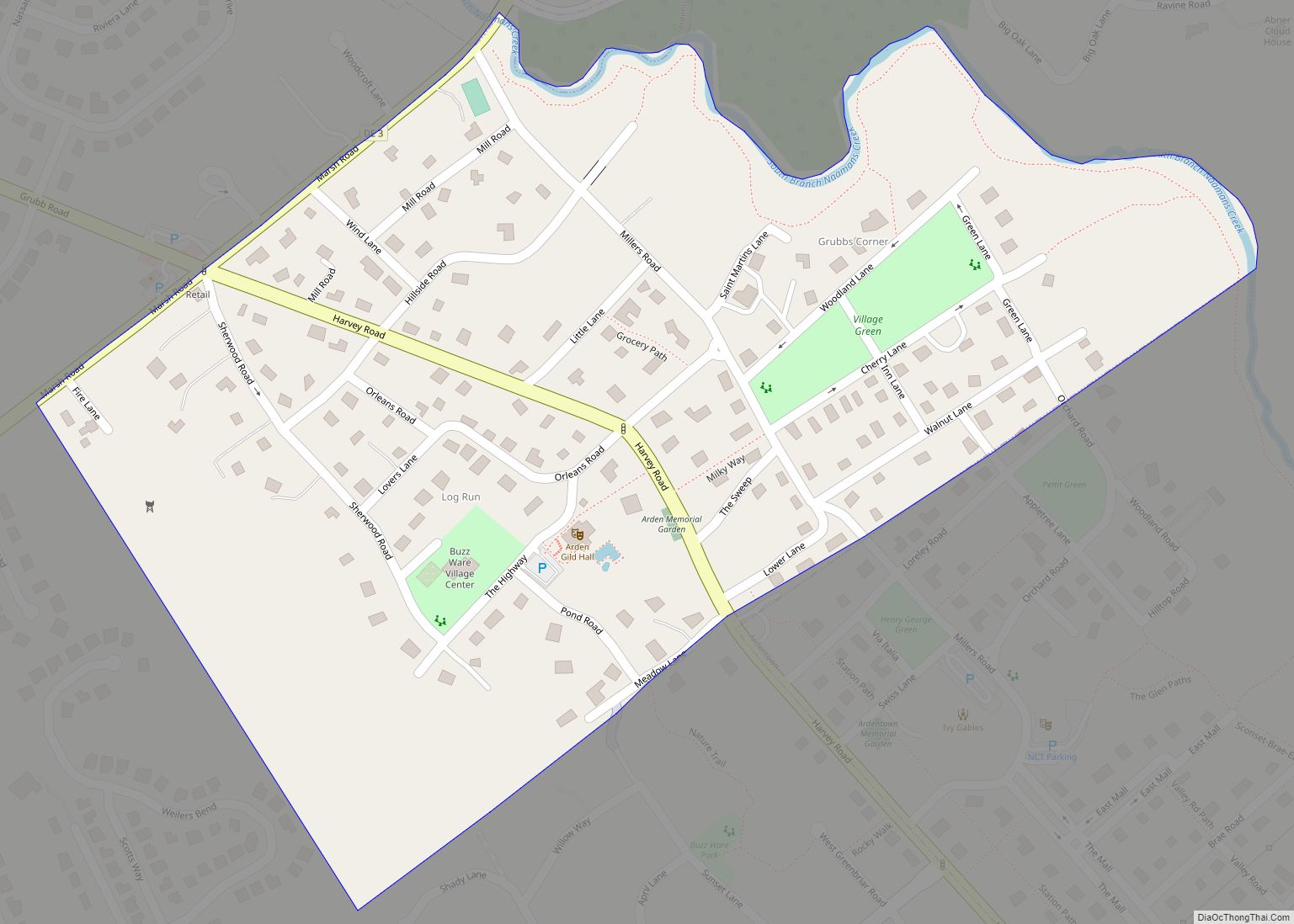
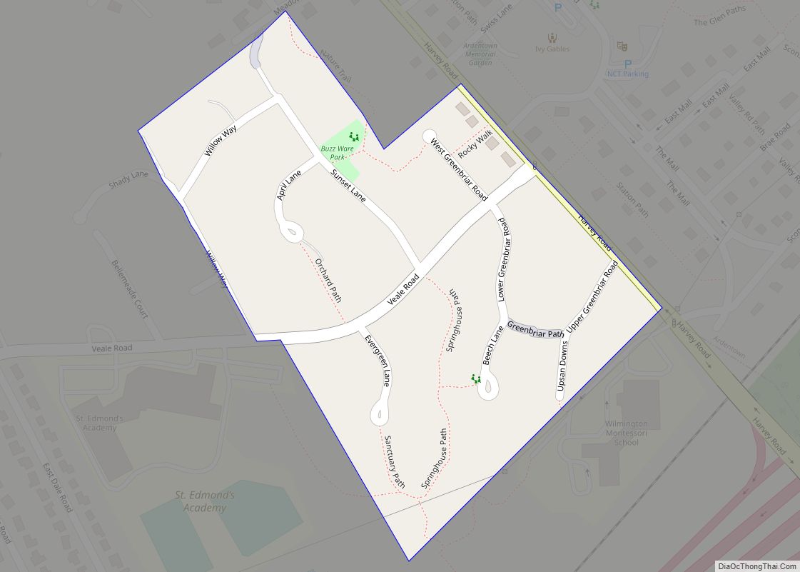
Newark Road Map
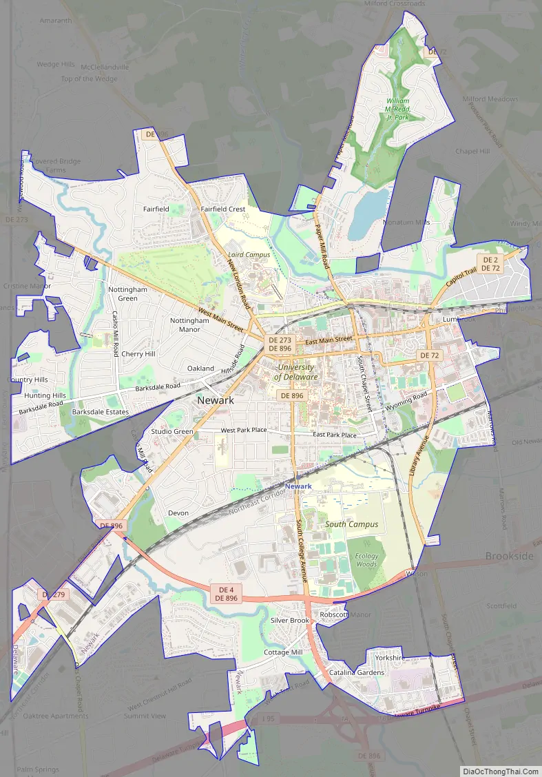
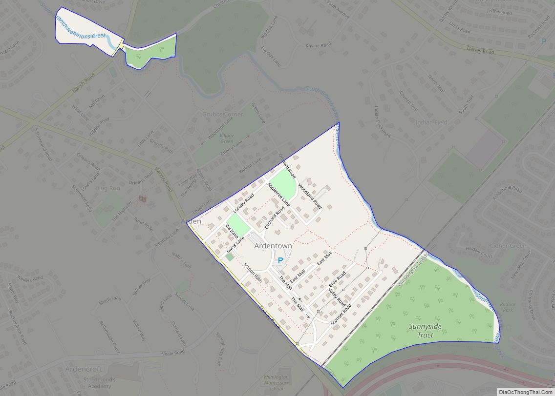
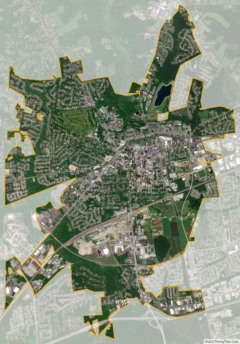
Newark city Satellite Map
Geography
Newark is located at 39°41′01″N 75°44′59″W / 39.68361°N 75.74972°W / 39.68361; -75.74972 (39.6837226, −75.7496572). It is located directly east of the Maryland state line, adjacent to the unincorporated community of Fair Hill, and is less than one mile south of the tripoint where Delaware, Maryland, and Pennsylvania meet, known as The Wedge.
According to the United States Census Bureau, the city has a total area of 9.19 square miles (23.8 km), all land. Originally surrounded by farmland, Newark is now surrounded by housing developments in some directions, although farmland remains just over the state lines in Maryland and Pennsylvania. To the north and west are small hills, but south and east of the city, the land is flat (part of Newark falls in the Piedmont geological region and part of the city is in the Coastal Plain geological region, as is the majority of the land in the State of Delaware).
Parks and natural areas
Newark is surrounded by a large amount of public parkland—over 12,000 acres (49 km) – although the city is located roughly halfway between Philadelphia (approximately 45 miles (72 km) away) and Baltimore (approximately 55 miles (89 km) away) and is part of densely populated New Castle County. To the south is Iron Hill Park (part of the New Castle County Park System), to the west (in Cecil County, Maryland) is Fair Hill Natural Resources Management Area, and to the North is White Clay Creek State Park and White Clay Creek Preserve (in Chester County, Pennsylvania). Also nearby is Middle Run Valley Natural Area, which is part of the New Castle County Park System. These parks provide ample hiking, mountain biking, and horseback riding opportunities. The Fair Hill Natural Resources Management Area and large portions of White Clay Creek State Park consist of land formerly owned by the Du Pont family that was later ceded to the states of Maryland and Delaware, respectively.
The old Bank of Newark Building, 102 E. Main
Rhodes Pharmacy, 36 E. Main
St. John the Baptist Church, 200 E. Main
Climate
According to the Köppen Climate Classification system, Newark has a humid subtropical climate (abbreviated Cfa on climate maps). Summers are hot and humid, with frequent afternoon thunderstorms. Winters are moderate-to-cold, with occasional snow in December, January and February. Newark averages more than 220 frost free days. The hardiness zone is 7a.
See also
Map of Delaware State and its subdivision: Map of other states:- Alabama
- Alaska
- Arizona
- Arkansas
- California
- Colorado
- Connecticut
- Delaware
- District of Columbia
- Florida
- Georgia
- Hawaii
- Idaho
- Illinois
- Indiana
- Iowa
- Kansas
- Kentucky
- Louisiana
- Maine
- Maryland
- Massachusetts
- Michigan
- Minnesota
- Mississippi
- Missouri
- Montana
- Nebraska
- Nevada
- New Hampshire
- New Jersey
- New Mexico
- New York
- North Carolina
- North Dakota
- Ohio
- Oklahoma
- Oregon
- Pennsylvania
- Rhode Island
- South Carolina
- South Dakota
- Tennessee
- Texas
- Utah
- Vermont
- Virginia
- Washington
- West Virginia
- Wisconsin
- Wyoming