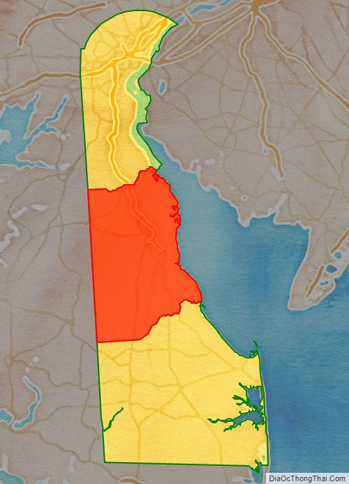
Kent County is a county located in the central part of the U.S. state of Delaware. As of the 2020 census, the population was 181,851, making it the least populous county in Delaware. The county seat is Dover, the state capital of Delaware. It is named for Kent, an English county.
Kent County comprises the Dover, DE Metropolitan Statistical Area, which is included in the Philadelphia–Reading–Camden, PA–NJ-DE-MD Combined Statistical Area.
| Name: | Kent County |
|---|---|
| FIPS code: | 10-001 |
| State: | Delaware |
| Founded: | August 8, 1683 |
| Named for: | Kent |
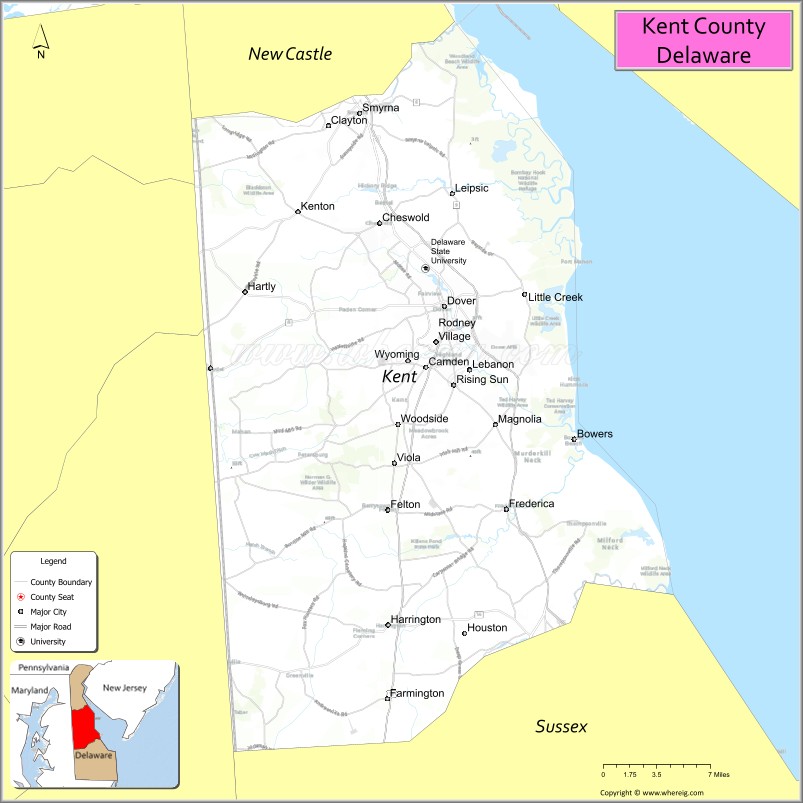
| Seat: | Dover |
| Largest city: | Dover |
| Total Area: | 798 sq mi (2,070 km²) |
| Land Area: | 586 sq mi (1,520 km²) |
| Total Population: | 181,851 |
| Population Density: | 310.33/sq mi (119.82/km²) |
| Time zone: | UTC−5 (Eastern) |
| Summer Time Zone (DST): | UTC−4 (EDT) |
| Website: | www.co.kent.de.us |
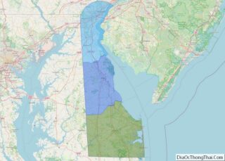
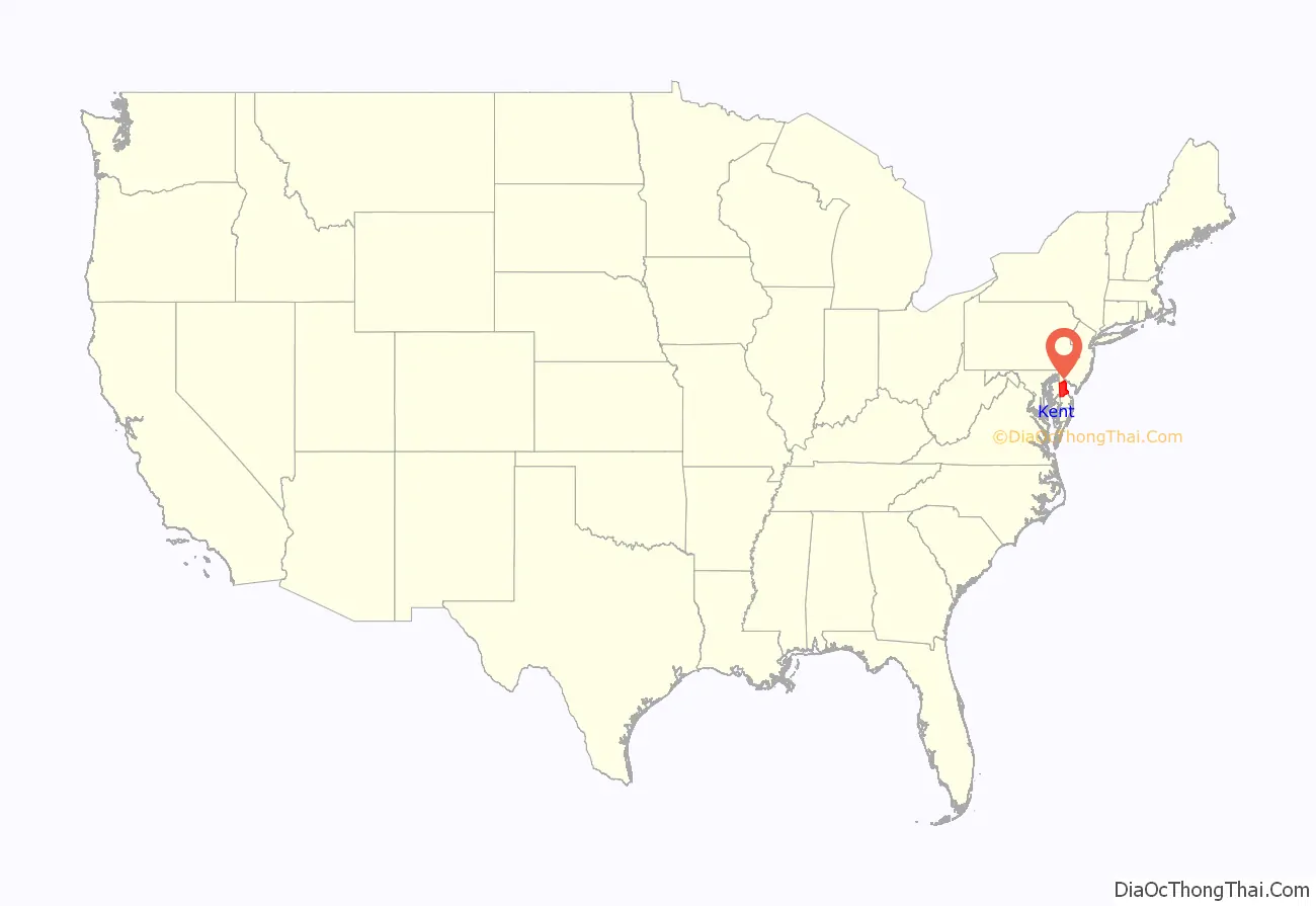
Kent County location map. Where is Kent County?
History
In about 1670 the English began to settle in the valley of the St. Jones River, earlier known as Wolf Creek. On June 21, 1680, the Duke of York chartered St. Jones County, which was carved out of New Amstel/New Castle and Hoarkill/Sussex counties. St. Jones County was transferred to William Penn on August 24, 1682, and became part of Penn’s newly chartered Delaware Colony.
Penn ordered a court town to be laid out, and the courthouse was built in 1697. The town of Dover, named after the town of Dover in England’s Kent, was finally laid out in 1717, in what was then known as the Lower Counties. It was designated as the capital of Delaware in 1777. In 1787 Delaware was first state to ratify the U.S. Constitution, and became “the First State.” Through much of the late 18th century, the economy of Kent County was based on small grain farms. As a result, farmers did not need as many slaves as did owners of tobacco plantations. Delaware had a high proportion of free blacks among its African-American population by the early 19th century.
In the 1960s, Dover was a center of manufacturing of spacesuits worn by NASA astronauts in the Apollo moon flights by ILC Dover, now based in the small town of Frederica. The suits, dubbed the “A7L,” was first flown on the Apollo 7 mission in October 1967, and was the suit worn by Neil Armstrong and Buzz Aldrin on the Apollo 11 mission. The company still manufactures spacesuits to this day—the present-day Space Shuttle “soft” suit components (the arms and legs of the suit).
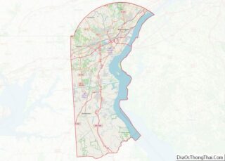
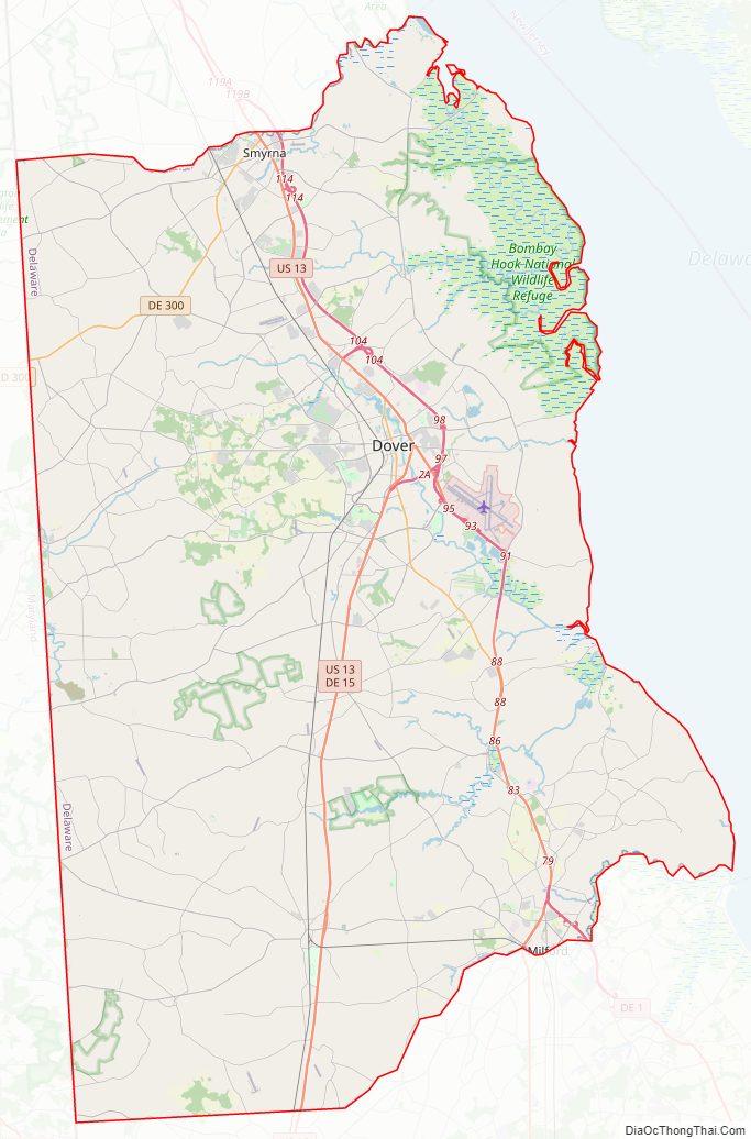
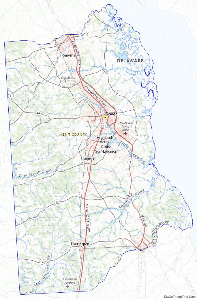
Kent County Road Map
Geography
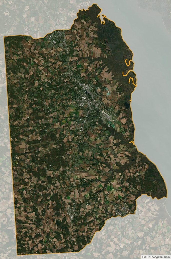
According to the U.S. Census Bureau, the county has a total area of 798 square miles (2,070 km), of which 586 square miles (1,520 km) is land and 212 square miles (550 km) (26.6%) is water.
Kent County, like all of Delaware’s counties, is subdivided into Hundreds. There are several explanations given for how the Hundreds were arrived at, either being an area containing 100 families, an area containing 100 people, or an area that could raise 100 militiamen. Kent County was originally apportioned into six Hundreds: Duck Creek, Little Creek, Dover, Murderkill, Milford and Mispillion. In 1867, the Delaware legislature split Murderkill Hundred into North Murderkill Hundred and South Murderkill Hundred. In 1869, the legislature formed Kenton Hundred from parts of Little Creek and Duck Creek Hundred. Today the county contains eight Hundreds.
Adjacent counties
- New Castle County – north
- Salem County, New Jersey – northeast
- Cumberland County, New Jersey – east
- Cape May County, New Jersey – east
- Sussex County – south
- Caroline County, Maryland – southwest
- Queen Anne’s County, Maryland – west
- Kent County, Maryland – northwest
National protected area
- Bombay Hook National Wildlife Refuge
Climate
Kent County has a humid subtropical climate (Cfa) according to the Köppen climate classification. The Trewartha climate classification considers the climate oceanic (Do) because only seven months average >50 °F (>10 °C.) All months average above freezing and Dover has three months averaging above 22 °C (71.6 °F.) The hardiness zone is mostly 7a with very small areas of 7b.
Kent County Topographic Map
Kent County Satellite Map
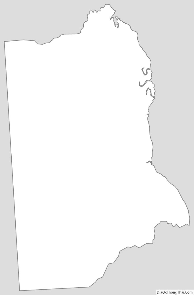
Kent County Outline Map