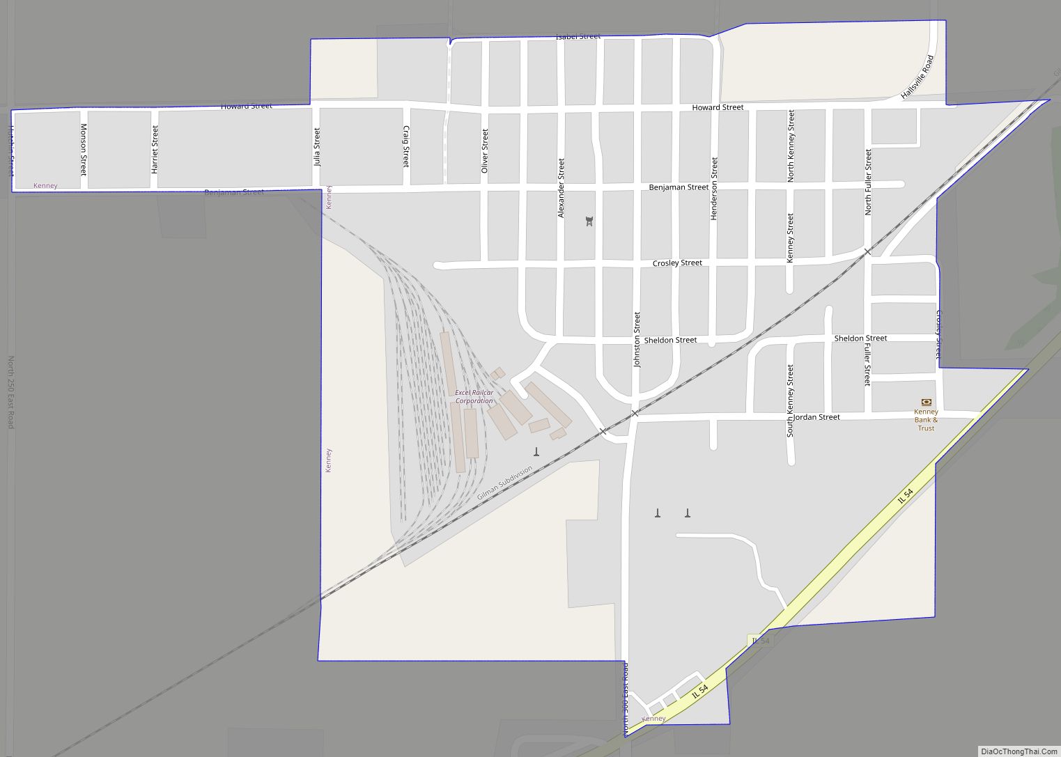
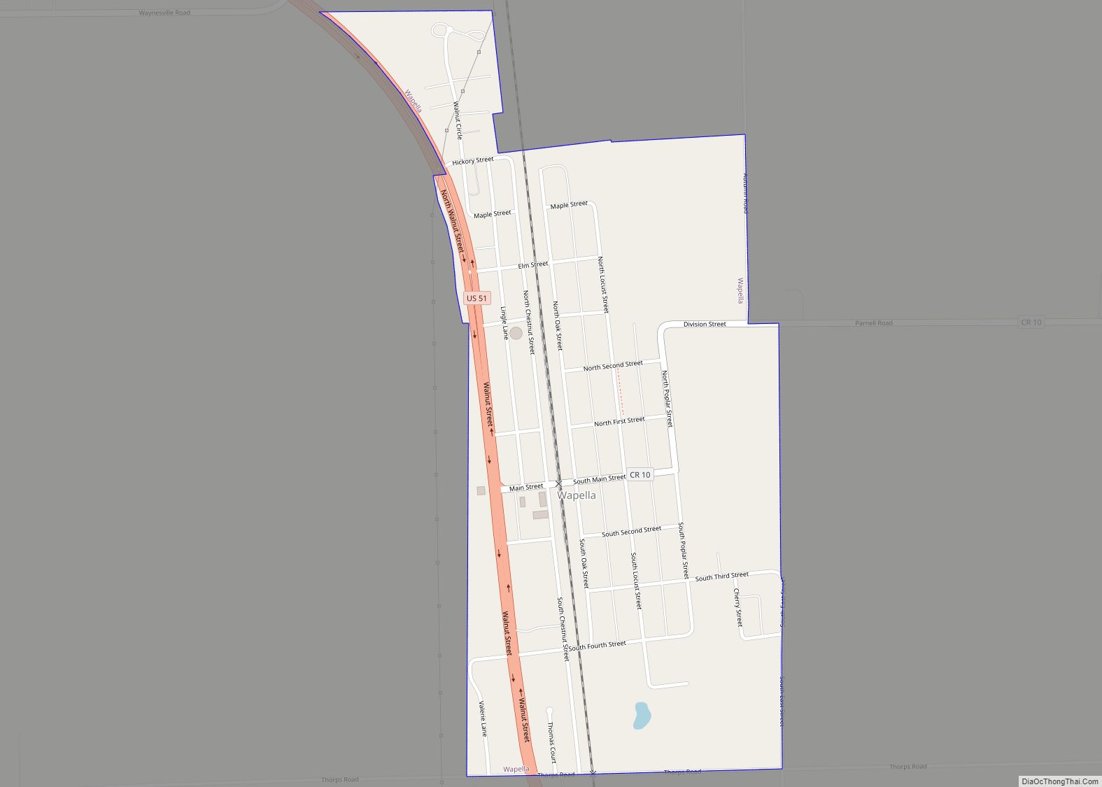
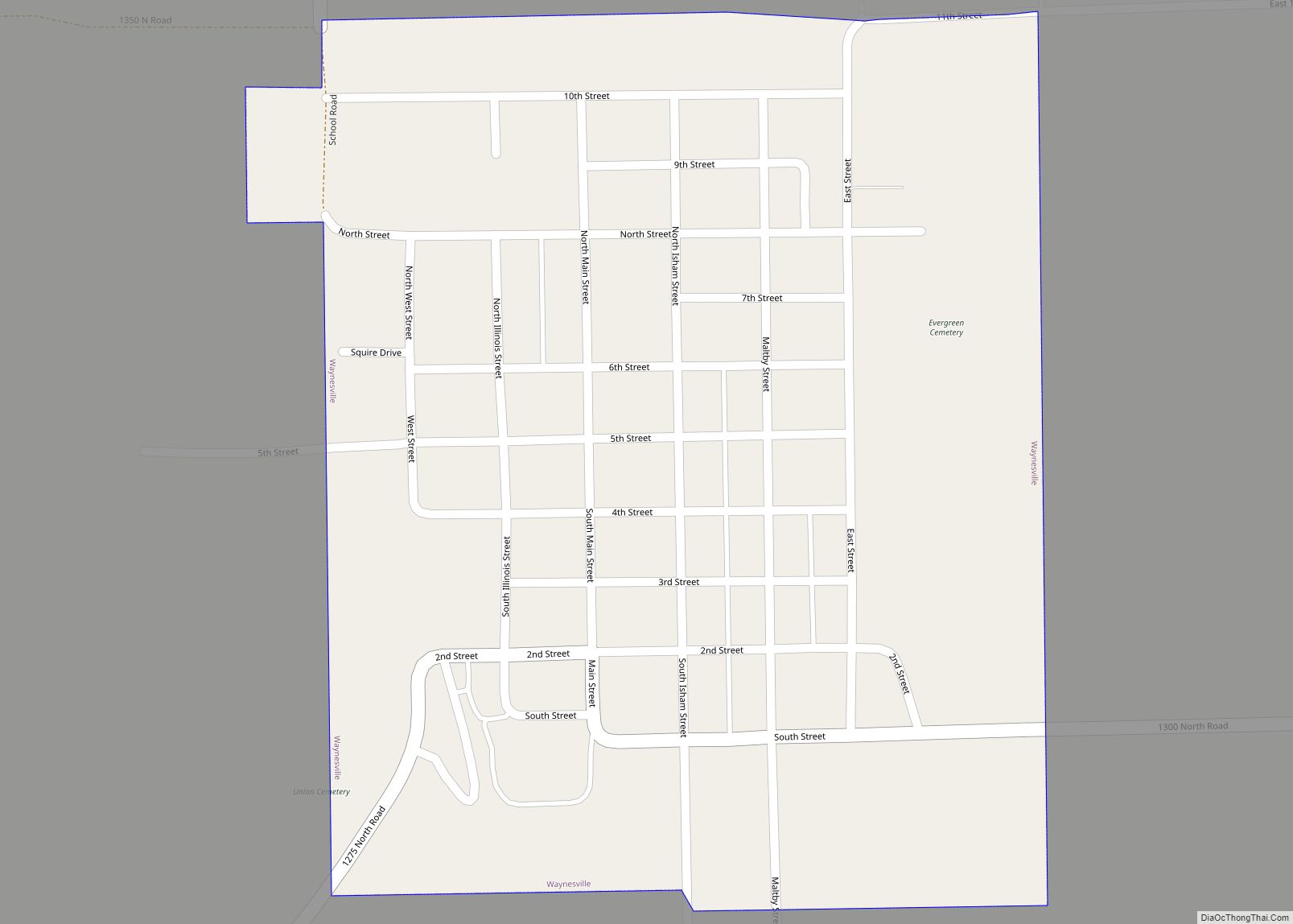
DeWitt County is a county located in the U.S. state of Illinois. As of the 2010 census, the population was 16,561. Its county seat is Clinton. The county was formed on March 1, 1839, from Macon and McLean counties. The county was named in honor of the seventh Governor of New York State, DeWitt Clinton.
DeWitt County is included in Bloomington–Normal, IL Metropolitan Statistical Area.
The U.S. Census Bureau and the USGS list the county’s name as De Witt, although the county uses the name DeWitt (no space).
| Name: | De Witt County |
|---|---|
| FIPS code: | 17-039 |
| State: | Illinois |
| Founded: | 1839 |
| Named for: | DeWitt Clinton |
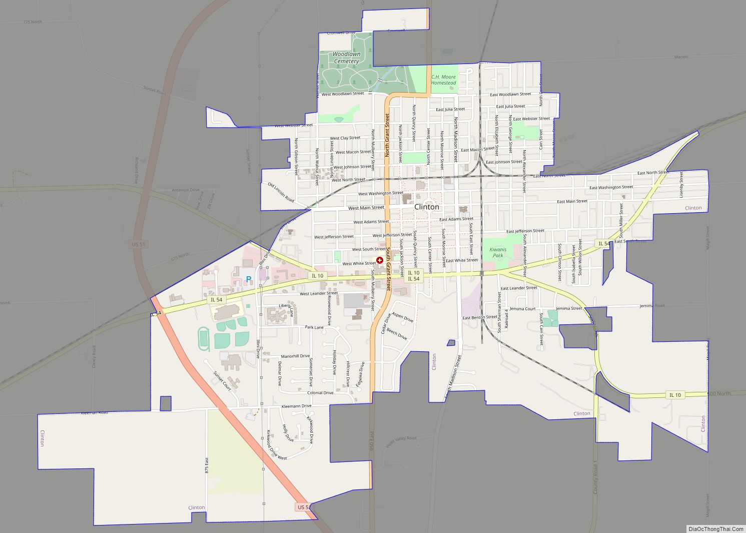
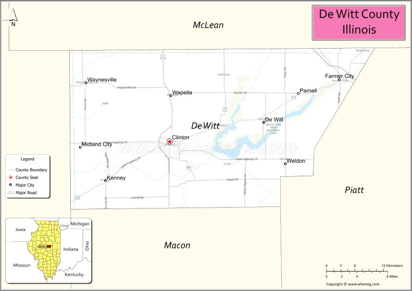
| Seat: | Clinton |
| Largest city: | Clinton |
| Total Area: | 405 sq mi (1,050 km²) |
| Land Area: | 398 sq mi (1,030 km²) |
| Total Population: | 16,561 |
| Population Density: | 41/sq mi (16/km²) |
| Time zone: | UTC−6 (Central) |
| Summer Time Zone (DST): | UTC−5 (CDT) |
| Website: | www.dewittcountyill.com |
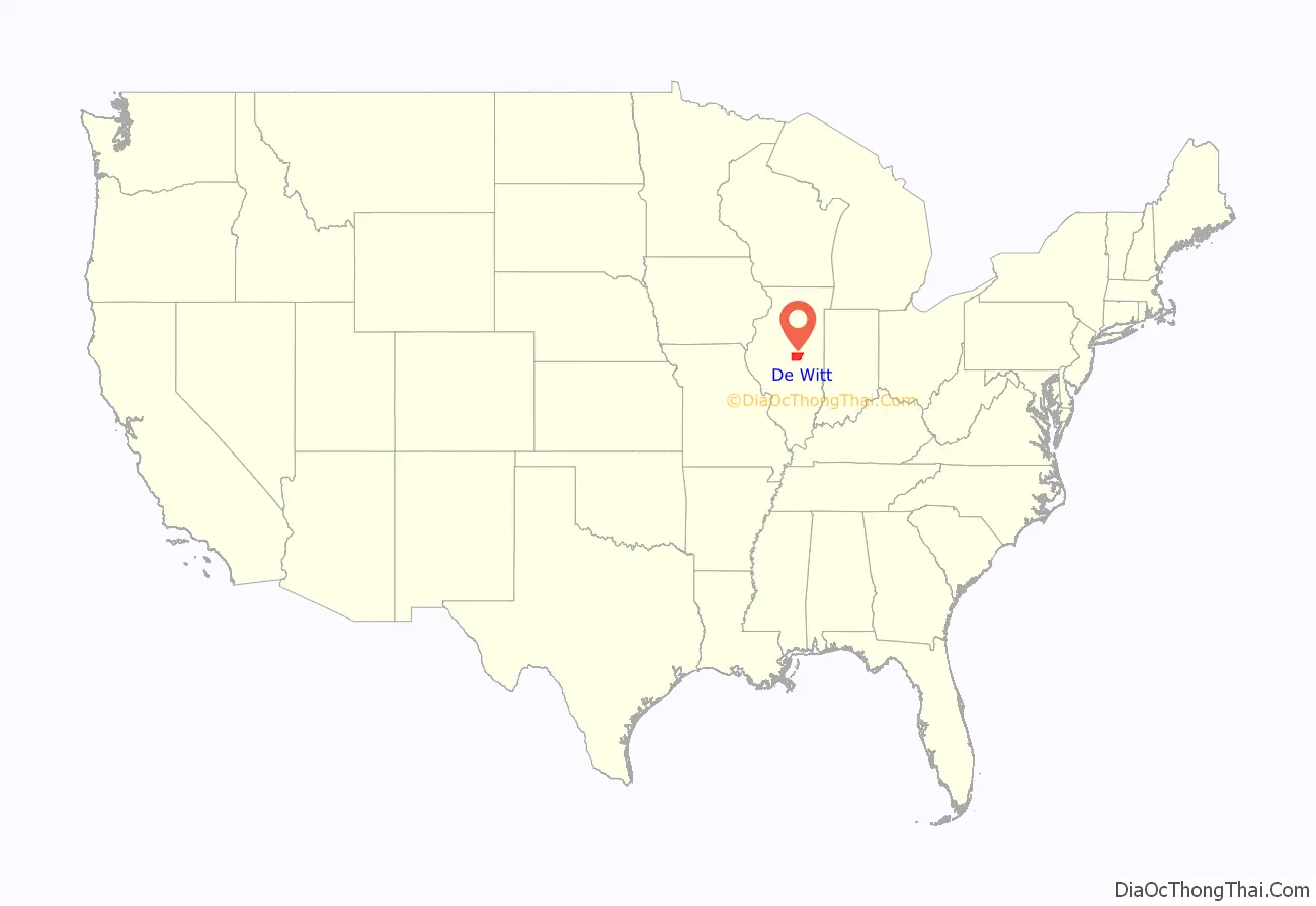
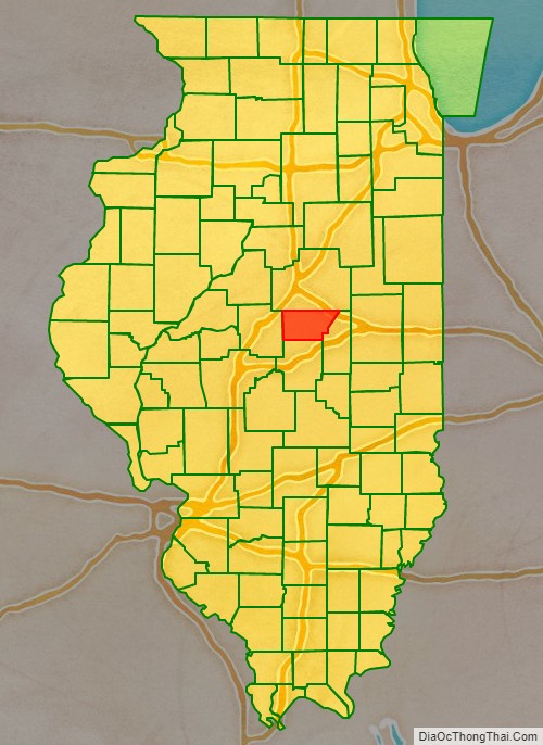
De Witt County location map. Where is De Witt County?
History
DeWitt County from its creation in 1839 to the splitting off of Piatt County in 1841
DeWitt County from 1841 to 1845
DeWitt County in 1845, when it was reduced to its current size
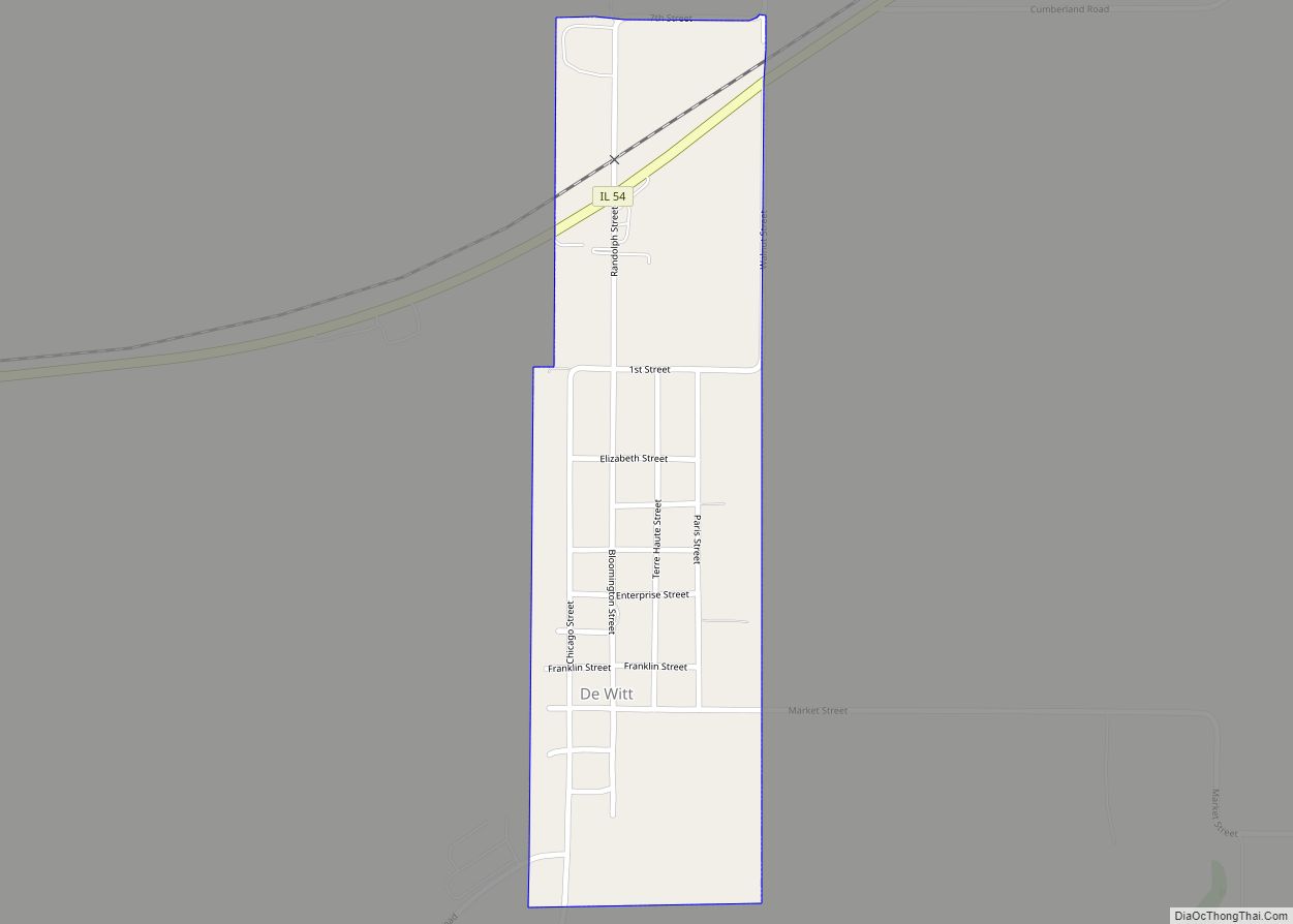
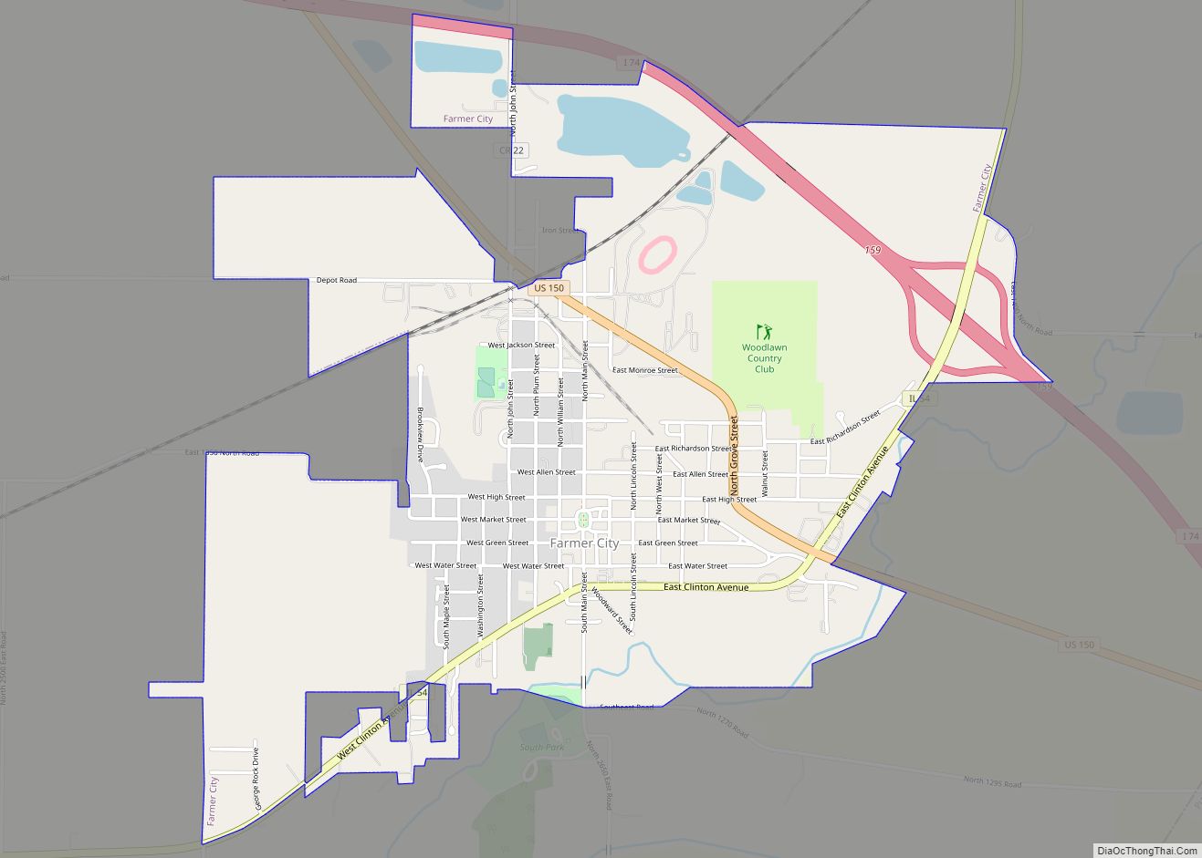
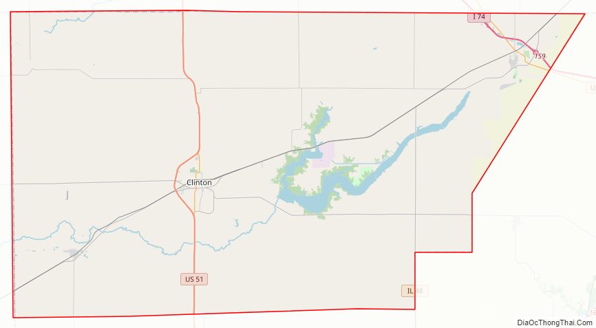
De Witt County Road Map
Geography
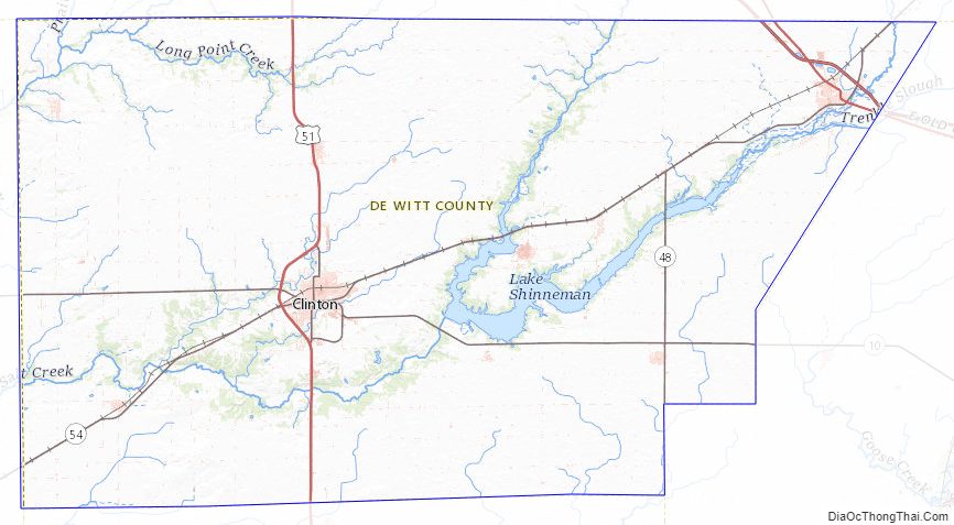
According to the U.S. Census Bureau, the county has a total area of 405 square miles (1,050 km), of which 398 square miles (1,030 km) is land and 7.6 square miles (20 km) (1.9%) is water.
Climate and weather
In recent years, average temperatures in the county seat of Clinton have ranged from a low of 17 °F (−8 °C) in January to a high of 88 °F (31 °C) in July, although a record low of −25 °F (−32 °C) was recorded in February 1905 and a record high of 113 °F (45 °C) was recorded in July 1954. Average monthly precipitation ranged from 1.95 inches (50 mm) in February to 4.54 inches (115 mm) in July.
Adjacent counties
- McLean County – north
- Piatt County – east
- Macon County – south
- Logan County – west
Major highways
- Interstate 74
- US Route 51
- US Route 150
- Illinois Route 10
- Illinois Route 48
- Illinois Route 54
De Witt County Topographic Map
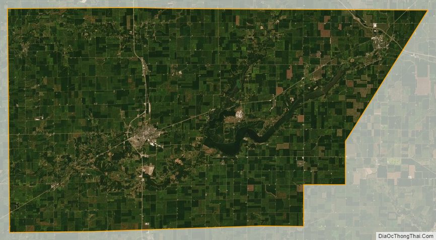
De Witt County Satellite Map
De Witt County Outline Map