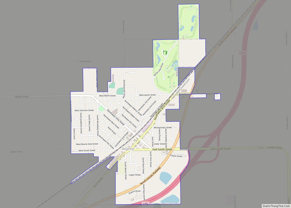
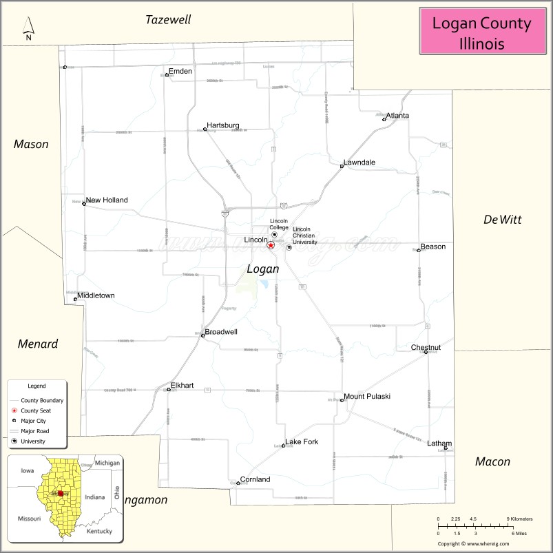
Logan County is a county located in the U.S. state of Illinois. According to the 2020 census, it had a population of 27,987. Its county seat is Lincoln.
Logan County comprises the Lincoln, IL Micropolitan Statistical Area, which is included in the Springfield–Jacksonville-Lincoln, IL Combined Statistical Area.
| Name: | Logan County |
|---|---|
| FIPS code: | 17-107 |
| State: | Illinois |
| Founded: | February 15, 1839 |
| Named for: | John A. Logan |
| Seat: | Lincoln |
| Largest city: | Lincoln |
| Total Area: | 619 sq mi (1,600 km²) |
| Land Area: | 618 sq mi (1,600 km²) |
| Total Population: | 27,987 |
| Population Density: | 45/sq mi (17/km²) |
| Time zone: | UTC−6 (Central) |
| Summer Time Zone (DST): | UTC−5 (CDT) |
| Website: | logancountyil.gov/index.php?lang=en |
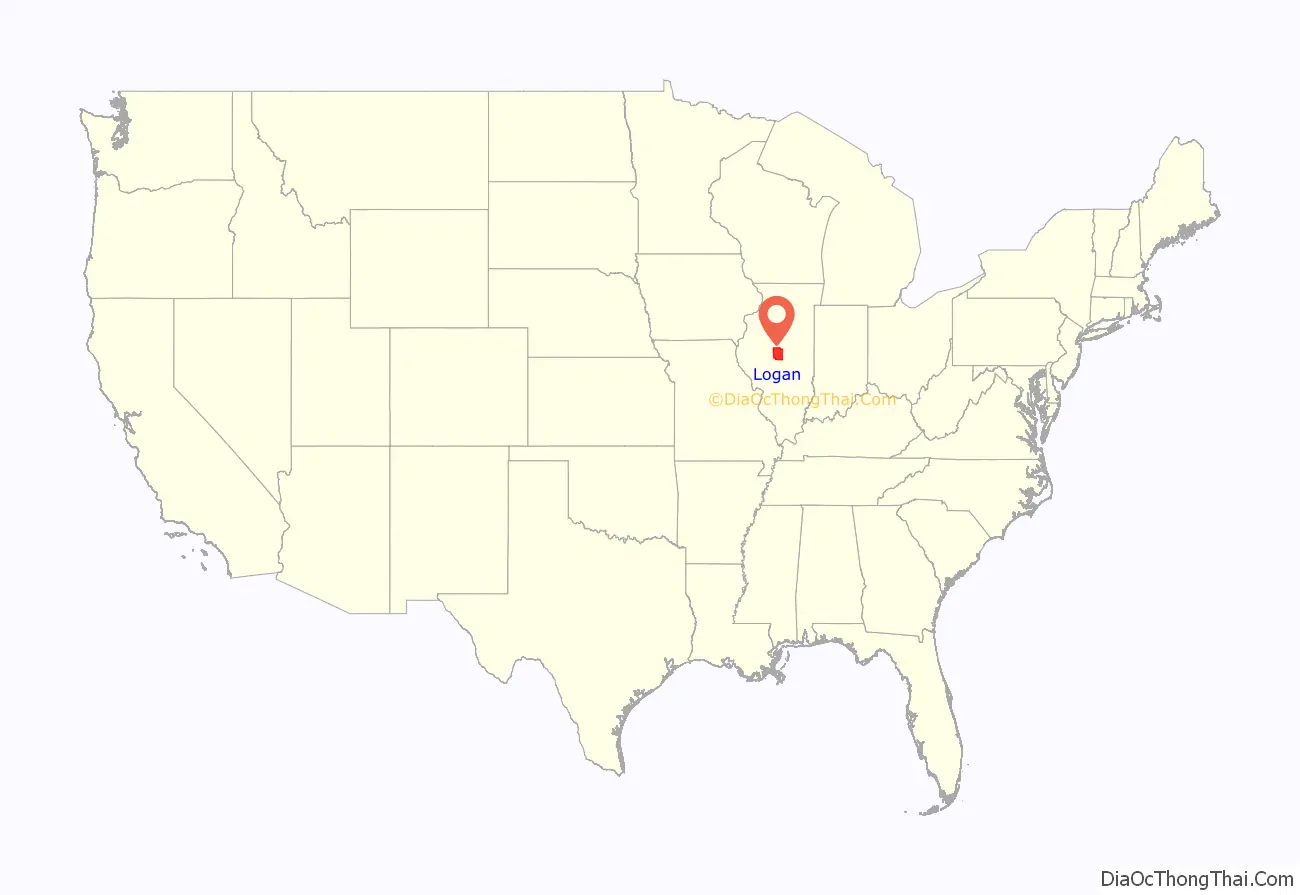
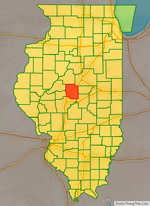
Logan County location map. Where is Logan County?
History
Established in 1839, Logan County was named after physician and State Representative John Logan, father of Union General John Alexander Logan.[1]
Logan County from the time of its creation to 1841
Logan County between 1841 and 1845
In 1845, a portion of Dewitt County was ceded to Logan, bringing it to its current size
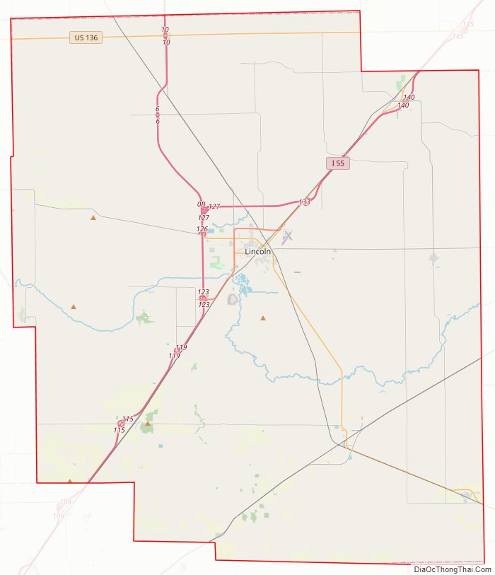
Logan County Road Map
Geography
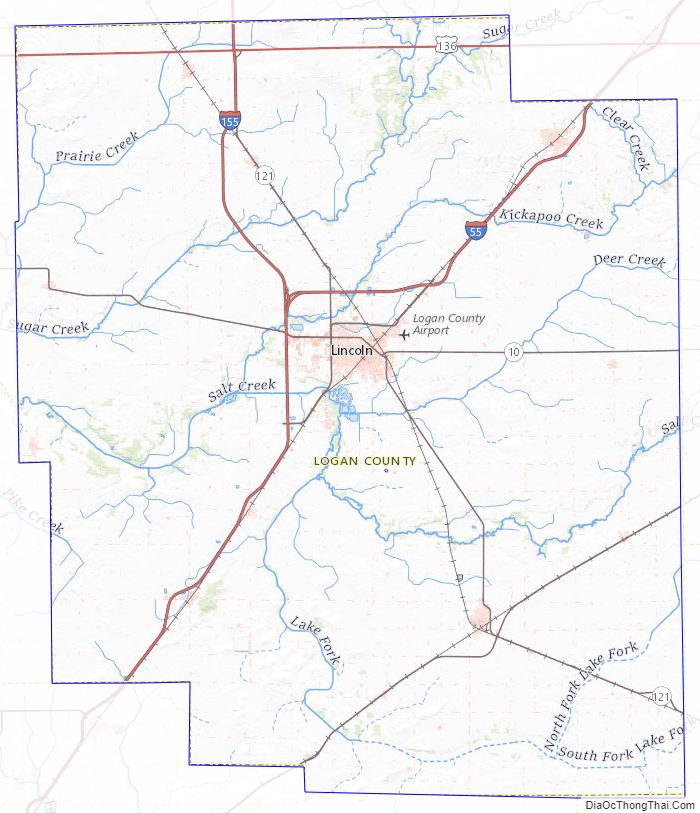
According to the U.S. Census Bureau, the county has a total area of 619 square miles (1,600 km), of which 618 square miles (1,600 km) is land and 0.9 square miles (2.3 km) (0.1%) is water.
Climate and weather
In recent years, average temperatures in the county seat of Lincoln have ranged from a low of 15 °F (−9.4 °C) in January to a high of 86 °F (30 °C) in July, although a record low of −29 °F (−33.9 °C) was recorded in December 1914 and a record high of 113 °F (45 °C) was recorded in July 1936. Average monthly precipitation ranged from 1.55 inches (39.4 mm) in February to 4.42 inches (112.3 mm) in May.
Major highways
- Interstate 55
- Interstate 155
- U.S. Highway 136
- Illinois Route 10
- Illinois Route 54
- Illinois Route 121
Adjacent counties
- Mason County – northwest
- Tazewell County – north
- McLean County – northeast
- De Witt County – east
- Macon County – southeast
- Sangamon County – south
- Menard County – west
Logan County Topographic Map
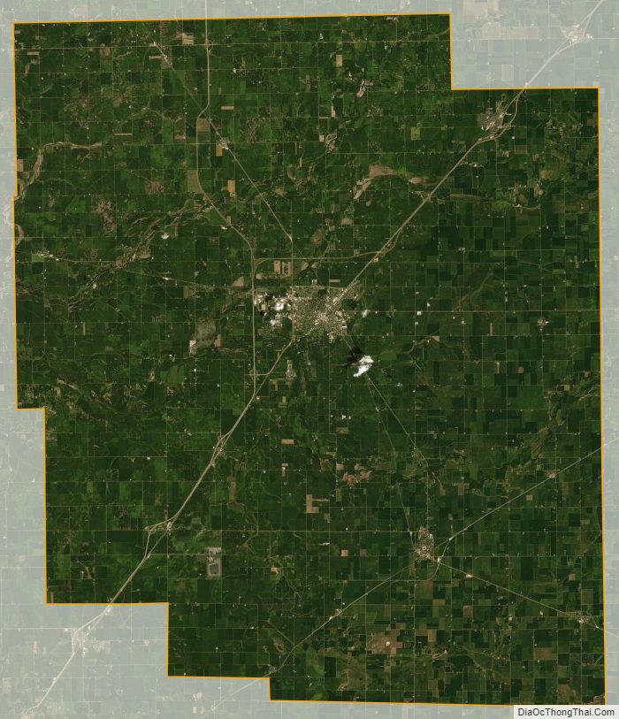
Logan County Satellite Map
Logan County Outline Map