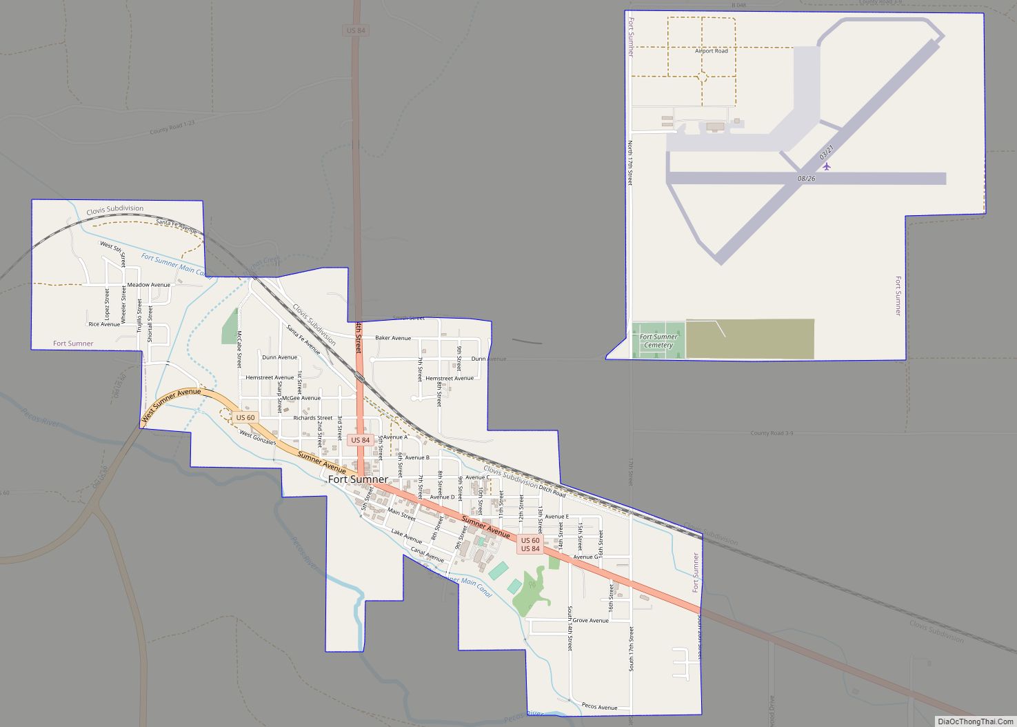
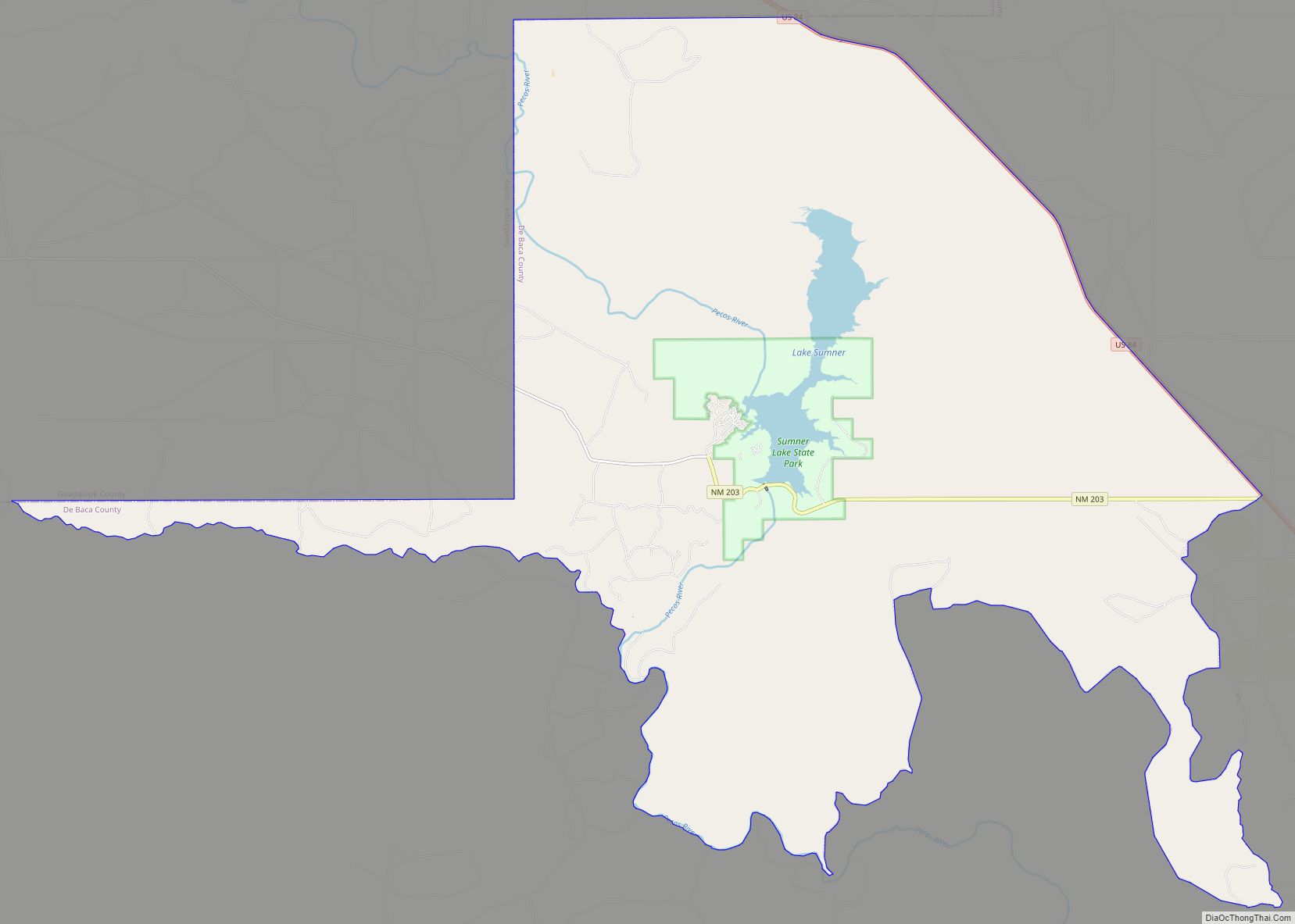
De Baca County is a county in the U.S. state of New Mexico. As of the 2010 census, the population was 2,022, making it New Mexico’s second-least populous county. Its county seat is Fort Sumner. The county is named for Ezequiel Cabeza De Baca, the second elected Governor of New Mexico.
| Name: | De Baca County |
|---|---|
| FIPS code: | 35-011 |
| State: | New Mexico |
| Founded: | February 28, 1917 |
| Named for: | Ezequiel Cabeza De Baca |
| Seat: | Fort Sumner |
| Total Area: | 2,334 sq mi (6,050 km²) |
| Land Area: | 2,323 sq mi (6,020 km²) |
| Total Population: | 1,680 |
| Population Density: | 0.9/sq mi (0.3/km²) |
| Time zone: | UTC−7 (Mountain) |
| Summer Time Zone (DST): | UTC−6 (MDT) |
| Website: | debaca.nmgenweb.us |
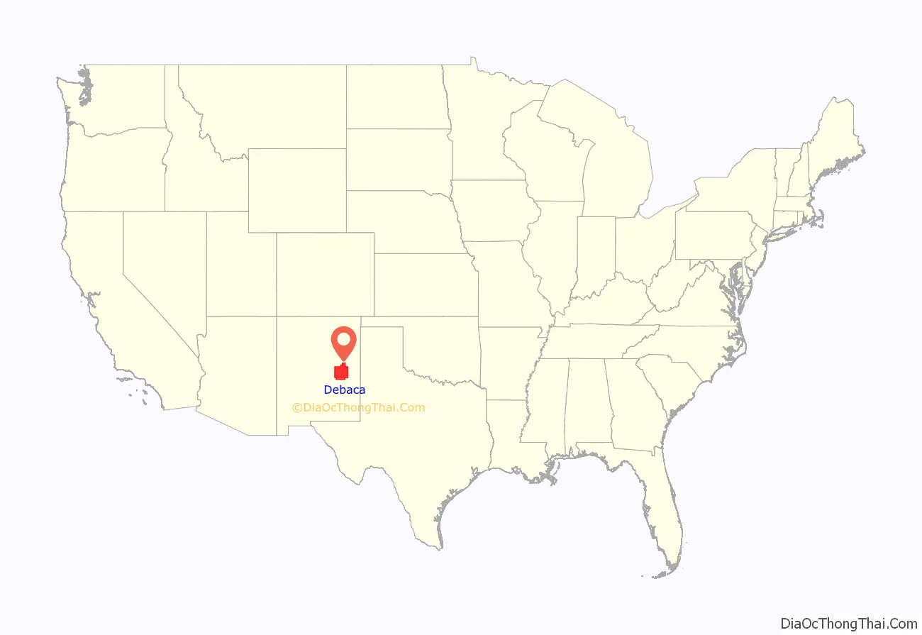
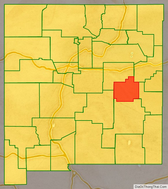
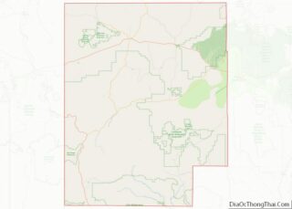
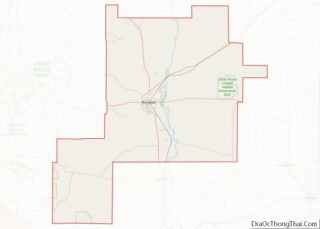
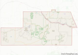
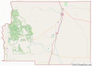
De Baca County location map. Where is De Baca County?
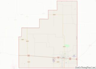
De Baca County Road Map
Geography
According to the U.S. Census Bureau, the county has a total area of 2,334 square miles (6,050 km), of which 2,323 square miles (6,020 km) is land and 11 square miles (28 km) (0.5%) is water.
Adjacent counties
- Guadalupe County – north
- Quay County – northeast
- Roosevelt County – east
- Chaves County – south
- Lincoln County – west
