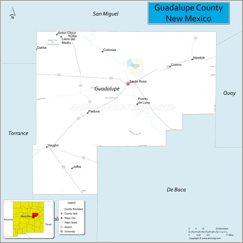
| Name: | Guadalupe County |
|---|---|
| FIPS code: | 35-019 |
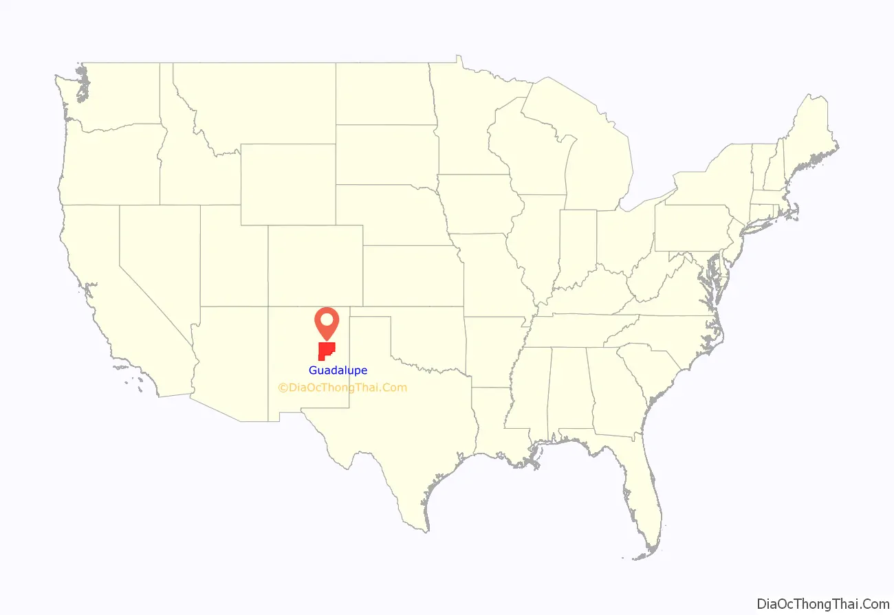
| State: | New Mexico |
| Founded: | February 26, 1891 |
| Named for: | Our Lady of Guadalupe |
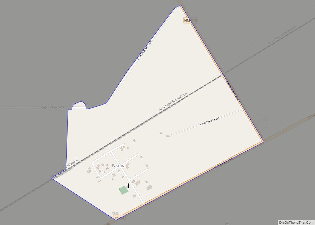
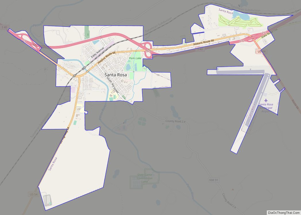
| Seat: | Santa Rosa |
| Largest city: | Santa Rosa |
| Total Area: | 3,032 sq mi (7,850 km²) |
| Land Area: | 3,030 sq mi (7,800 km²) |
| Total Population: | 4,449 |
| Population Density: | 1.5/sq mi (0.6/km²) |
| Time zone: | UTC−7 (Mountain) |
| Summer Time Zone (DST): | UTC−6 (MDT) |
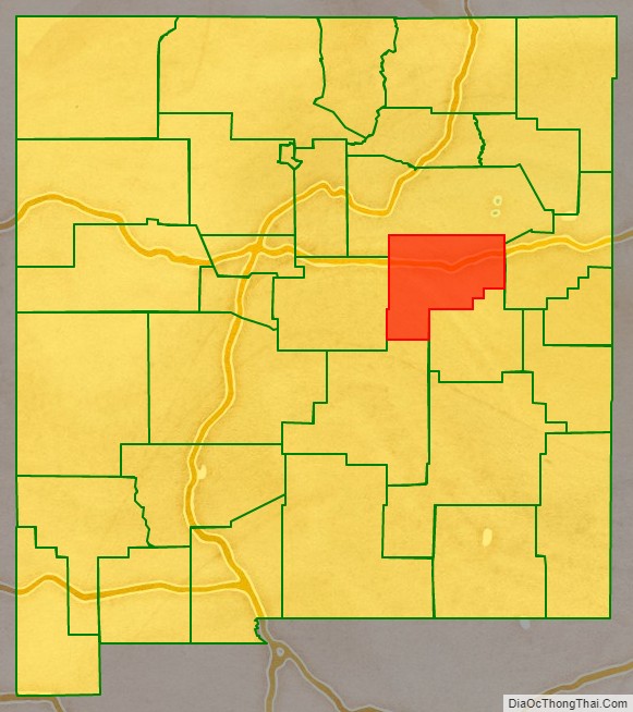
Guadalupe County location map. Where is Guadalupe County?
History
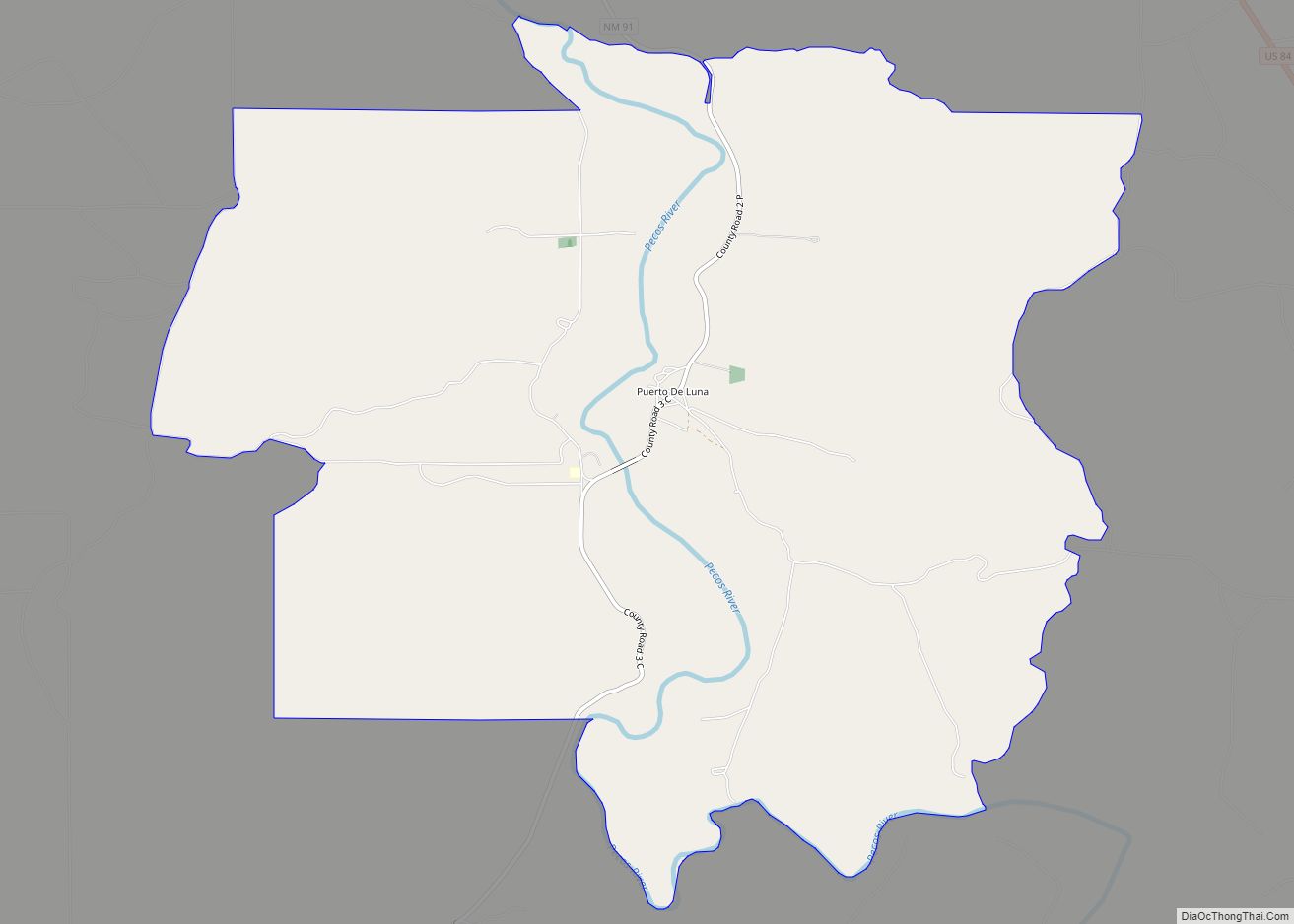
Guadalupe County was named after Nuestra Señora de Guadalupe (Our Lady of Guadalupe) or after the Mesita de Guadalupe (Guadalupe Plain). The county was created from the southern portion of San Miguel County February 26, 1891 by an act of the New Mexico Territorial Legislature. The original county seat was Puerto De Luna, but was moved north to Santa Rosa in 1903. That same year, after the popular Spanish–American War of 1898, the county’s name was changed to Leonard Wood County after the Presidential physician, Major-General in the Rough Riders, and recipient of the Medal of Honor. The name was later changed back to Guadalupe County. The County contains whole, or parts of, several previous Spanish land grants to include the Aqua Negra, the Jose Perea, the Anton Chico, and the Preston Beck land grants.
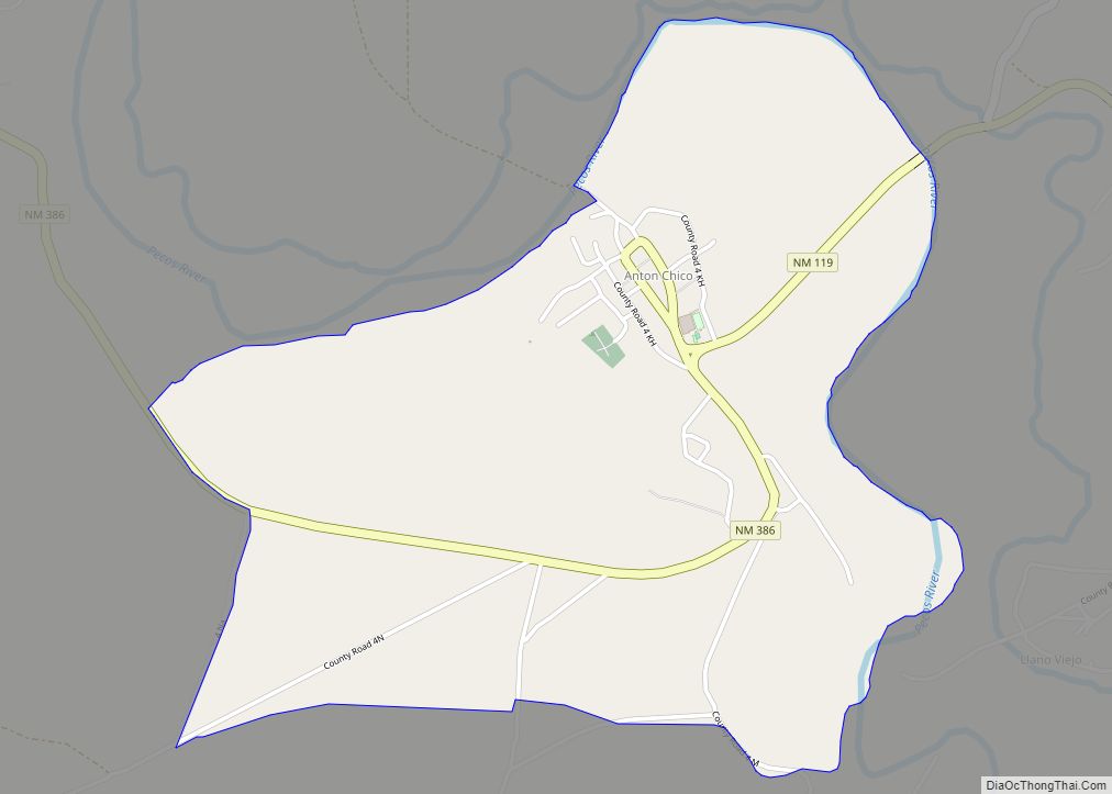
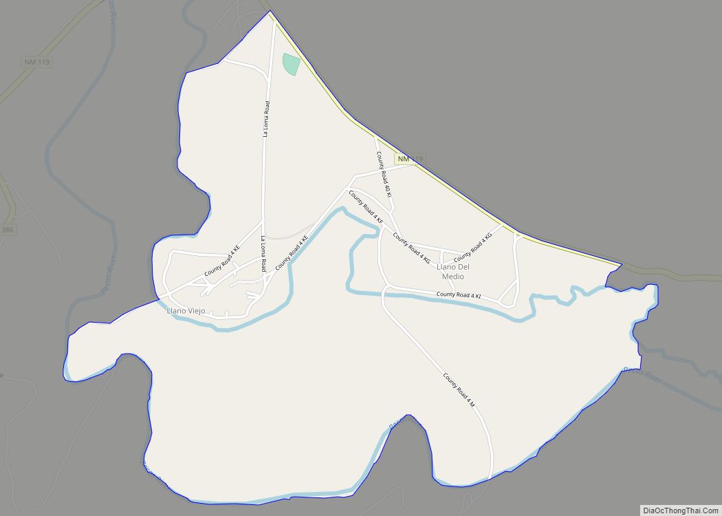
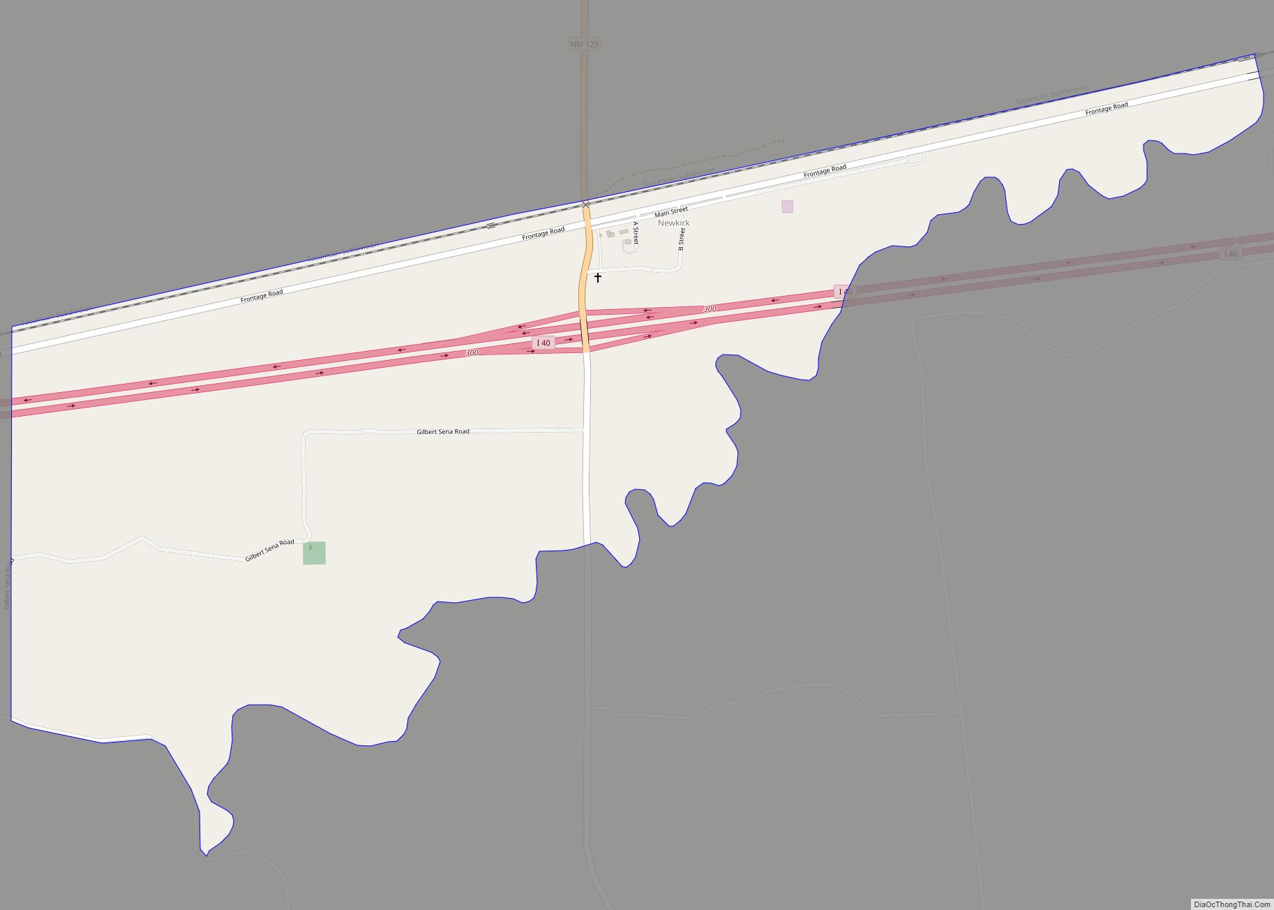
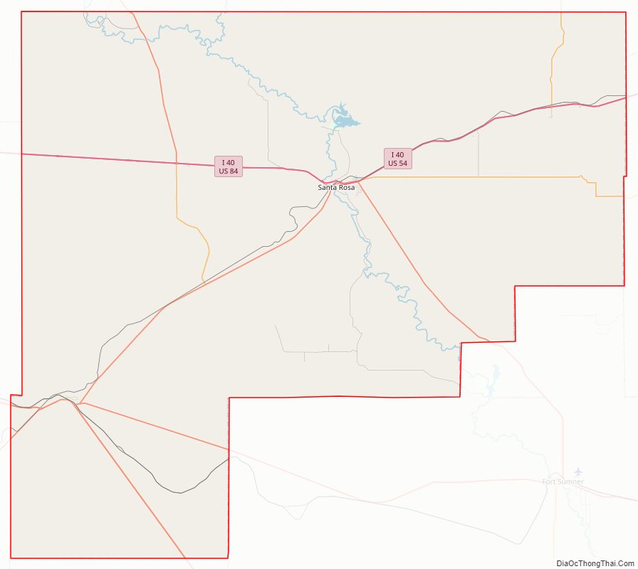
Guadalupe County Road Map
Geography
According to the U.S. Census Bureau, the county has a total area of 3,032 square miles (7,850 km), of which 3,030 square miles (7,800 km) is land and 1.1 square miles (2.8 km) (0.04%) is water.
Adjacent counties
- San Miguel County – north
- Quay County – east
- De Baca County – south
- Lincoln County – south
- Torrance County – west
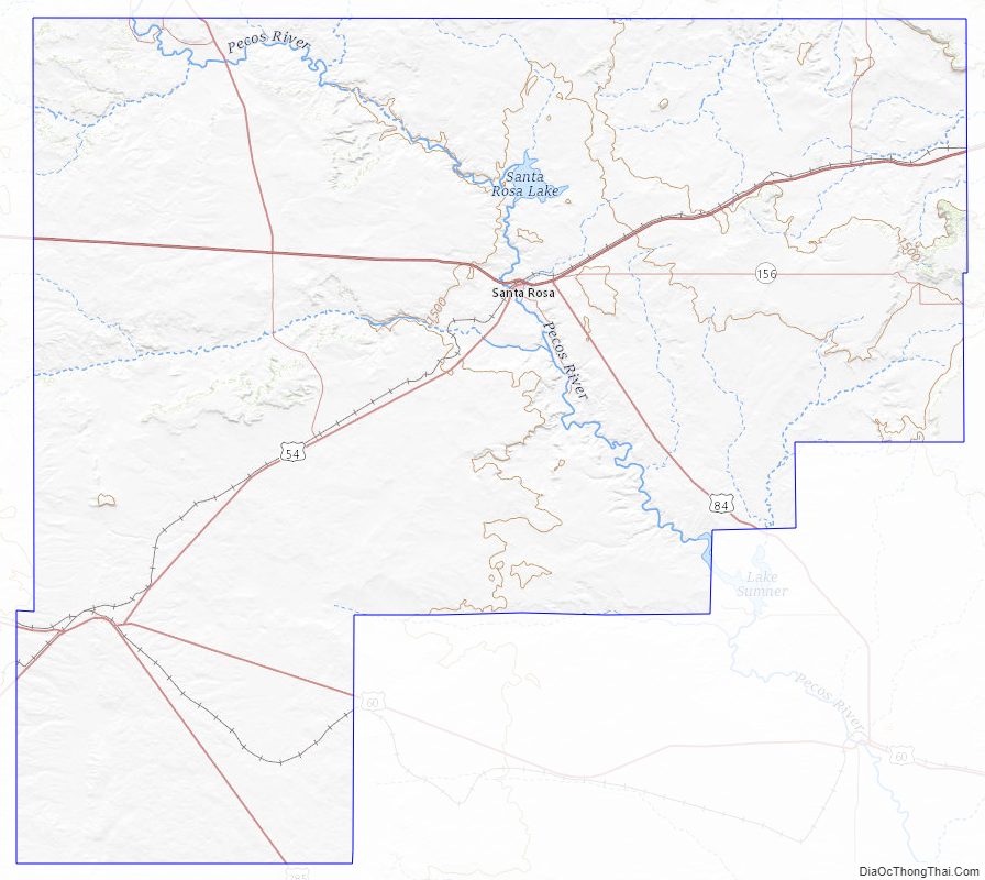
Guadalupe County Topographic Map
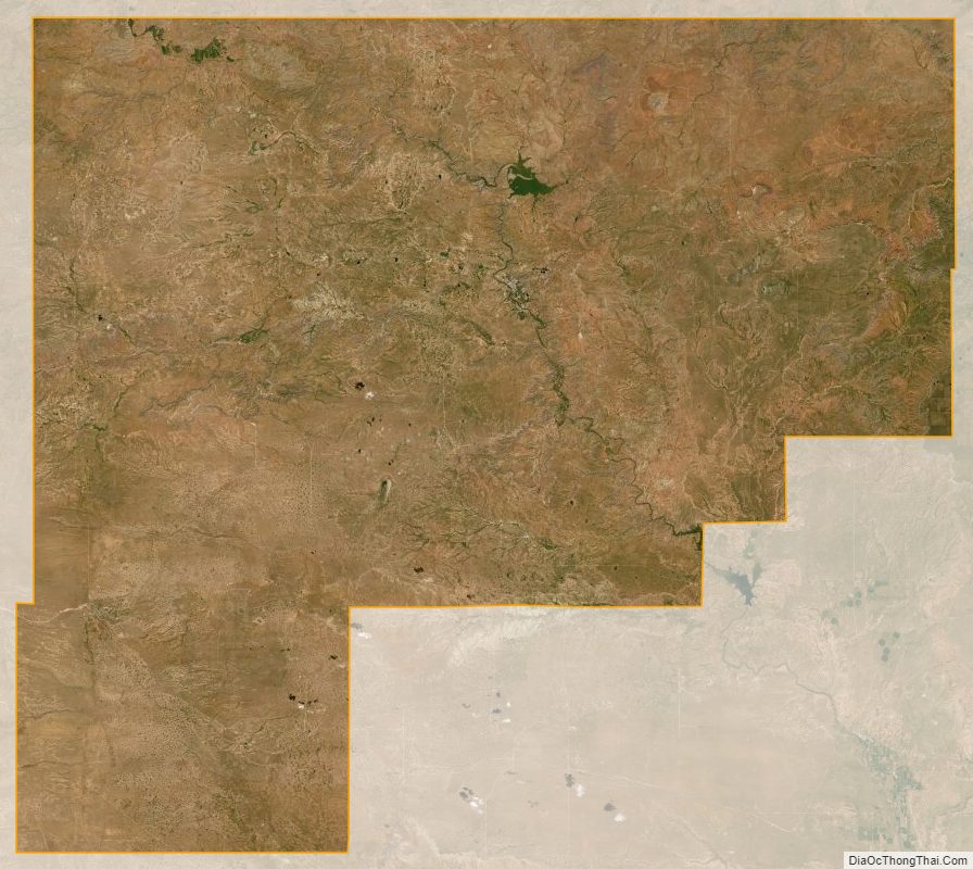
Guadalupe County Satellite Map
Guadalupe County Outline Map