Dickinson County is a county located in the U.S. state of Iowa. As of the 2020 census, the population was 17,703. The county seat is Spirit Lake. The county was organized in 1857 and is named in honor of Daniel S. Dickinson, a U.S. Senator for New York.
Dickinson County comprises the Spirit Lake, IA Micropolitan Statistical Area.
| Name: | Dickinson County |
|---|---|
| FIPS code: | 19-059 |
| State: | Iowa |
| Founded: | 1857 |
| Named for: | Daniel S. Dickinson |
| Seat: | Spirit Lake |
| Largest city: | Spirit Lake |
| Total Area: | 404 sq mi (1,050 km²) |
| Land Area: | 381 sq mi (990 km²) |
| Total Population: | 17,703 |
| Population Density: | 44/sq mi (17/km²) |
| Time zone: | UTC−6 (Central) |
| Summer Time Zone (DST): | UTC−5 (CDT) |
| Website: | dickinsoncountyiowa.gov |
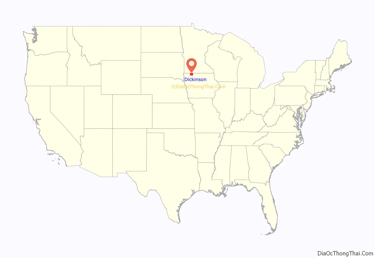
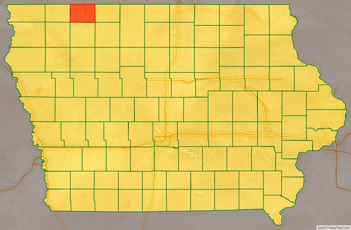
Dickinson County location map. Where is Dickinson County?
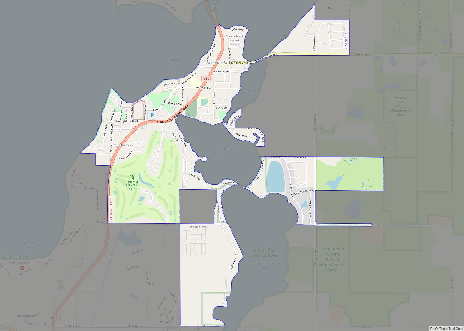
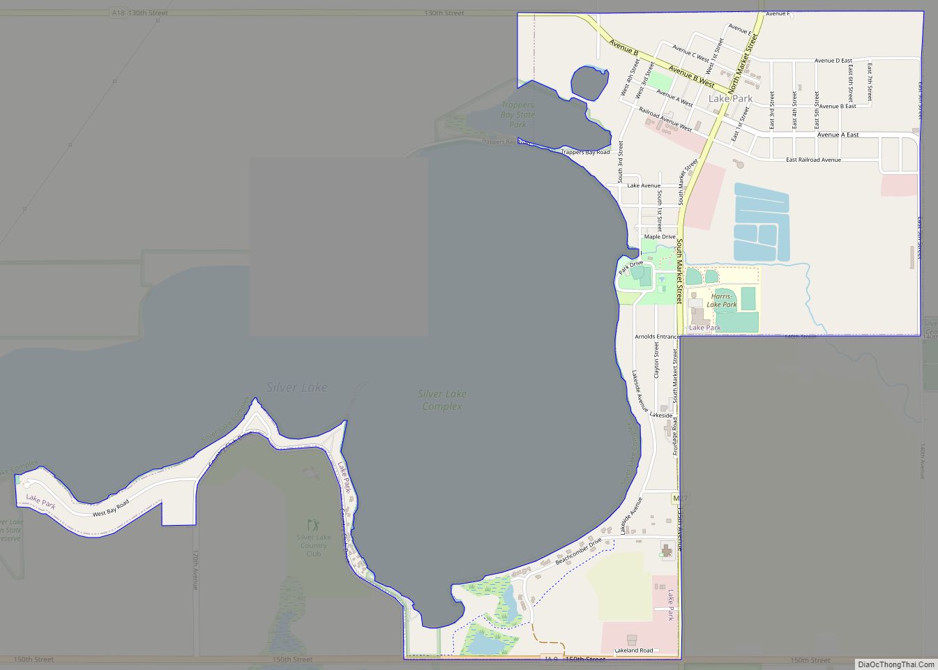
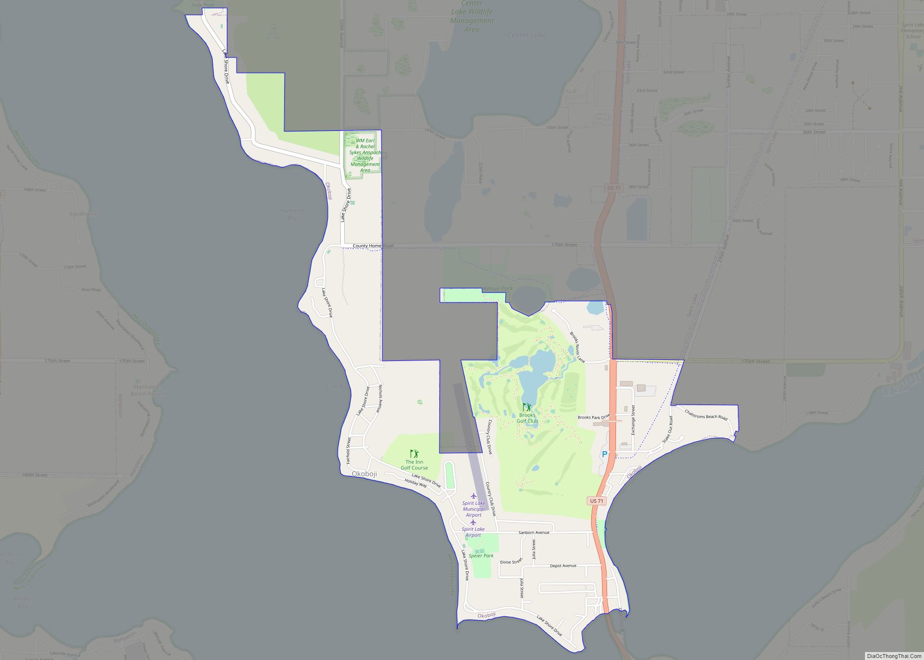
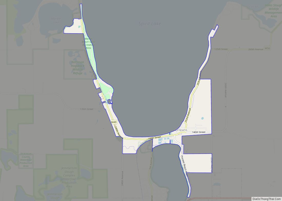
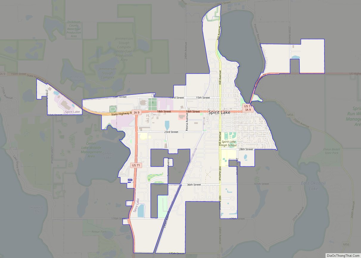
Dickinson County Road Map
Geography
According to the U.S. Census Bureau, the county has a total area of 404 square miles (1,050 km), of which 381 square miles (990 km) is land and 23 square miles (60 km) (5.8%) is water. It is the smallest county by land area in Iowa, and the fifth-smallest by total area.
A region known as the Iowa Great Lakes is in Dickinson County, making it a popular vacation destination for Iowans, and explaining the recent high population growth in the area. The lakes include West Okoboji Lake, East Okoboji Lake, and Spirit Lake.
Major highways
- U.S. Highway 71
- Iowa Highway 9
- Iowa Highway 86
Adjacent counties
- Jackson County, Minnesota (north)
- Emmet County (east)
- Clay County (south)
- Osceola County (west)
