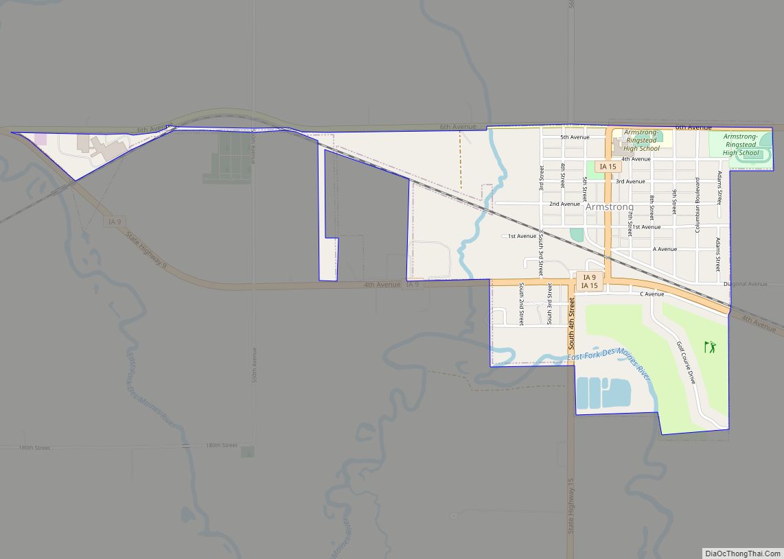
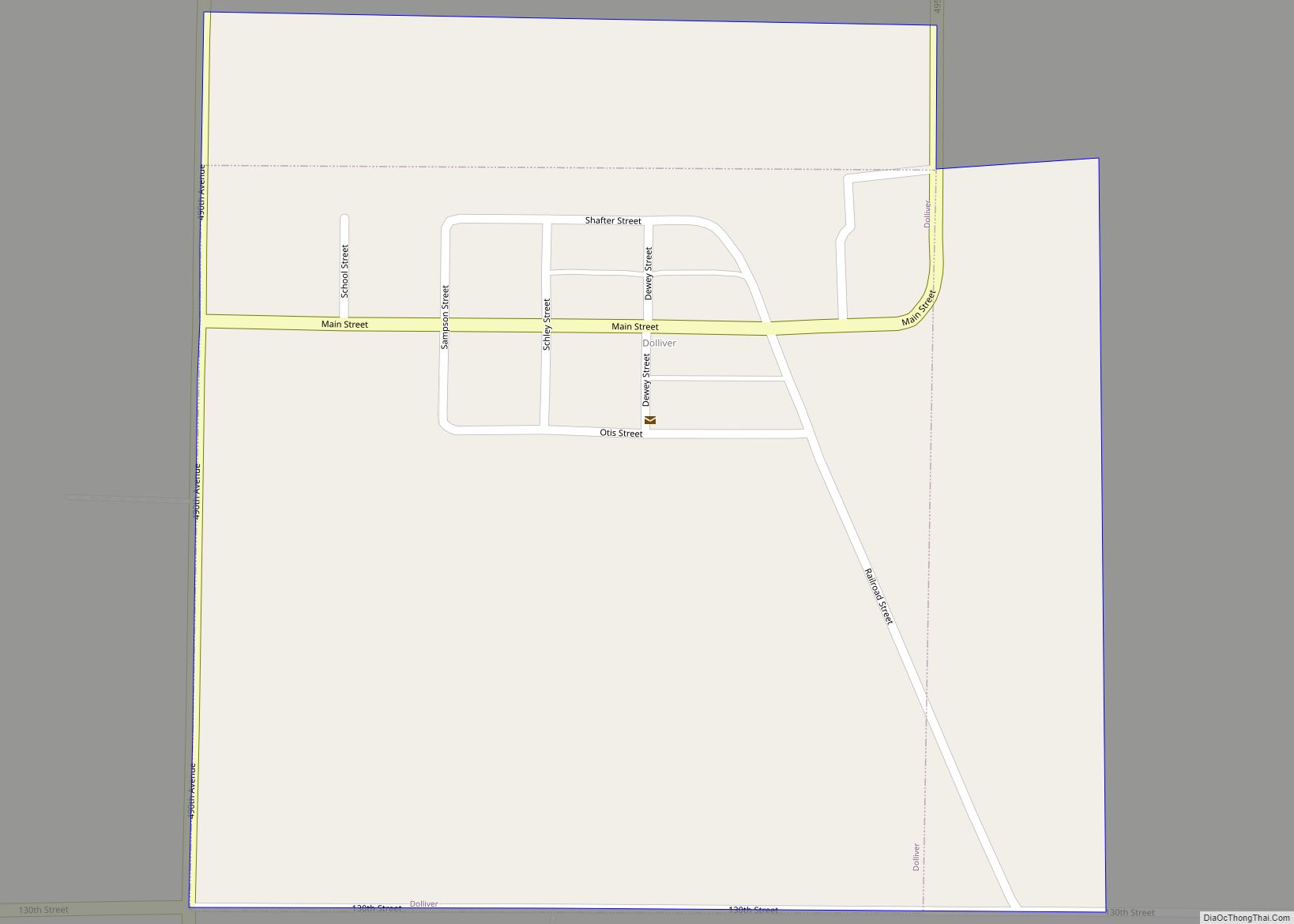
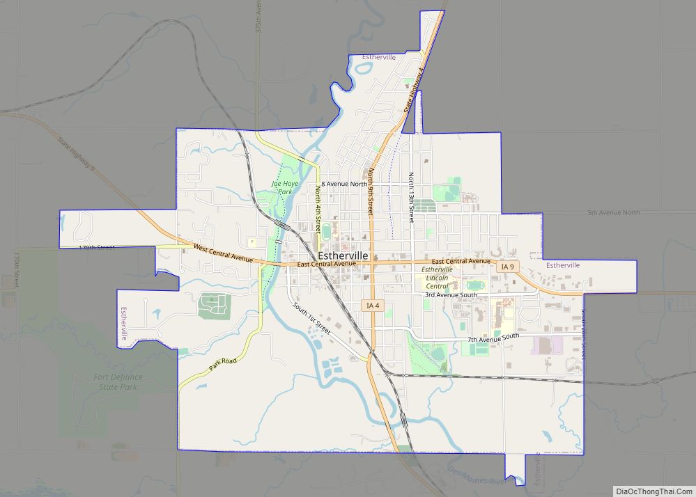
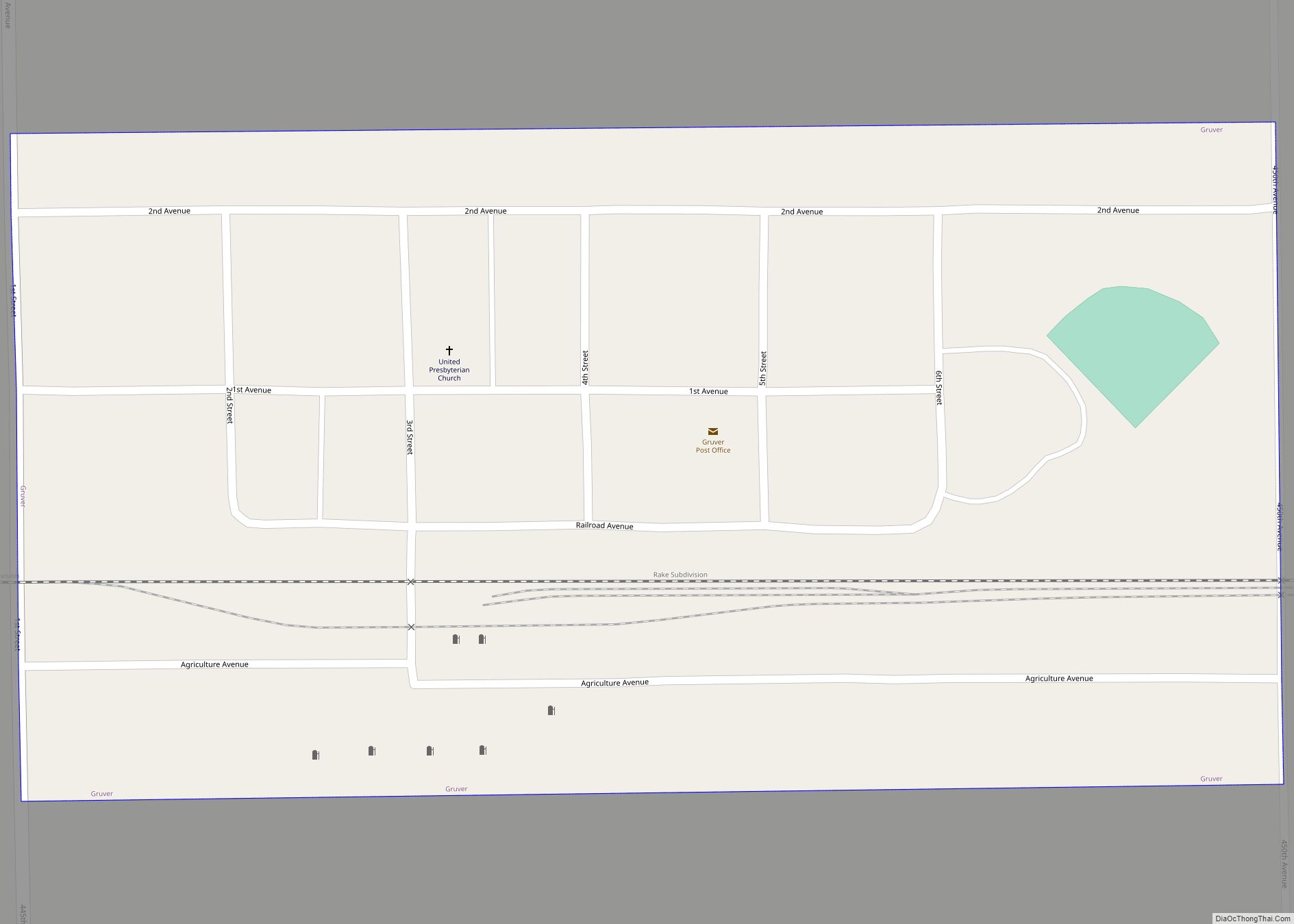
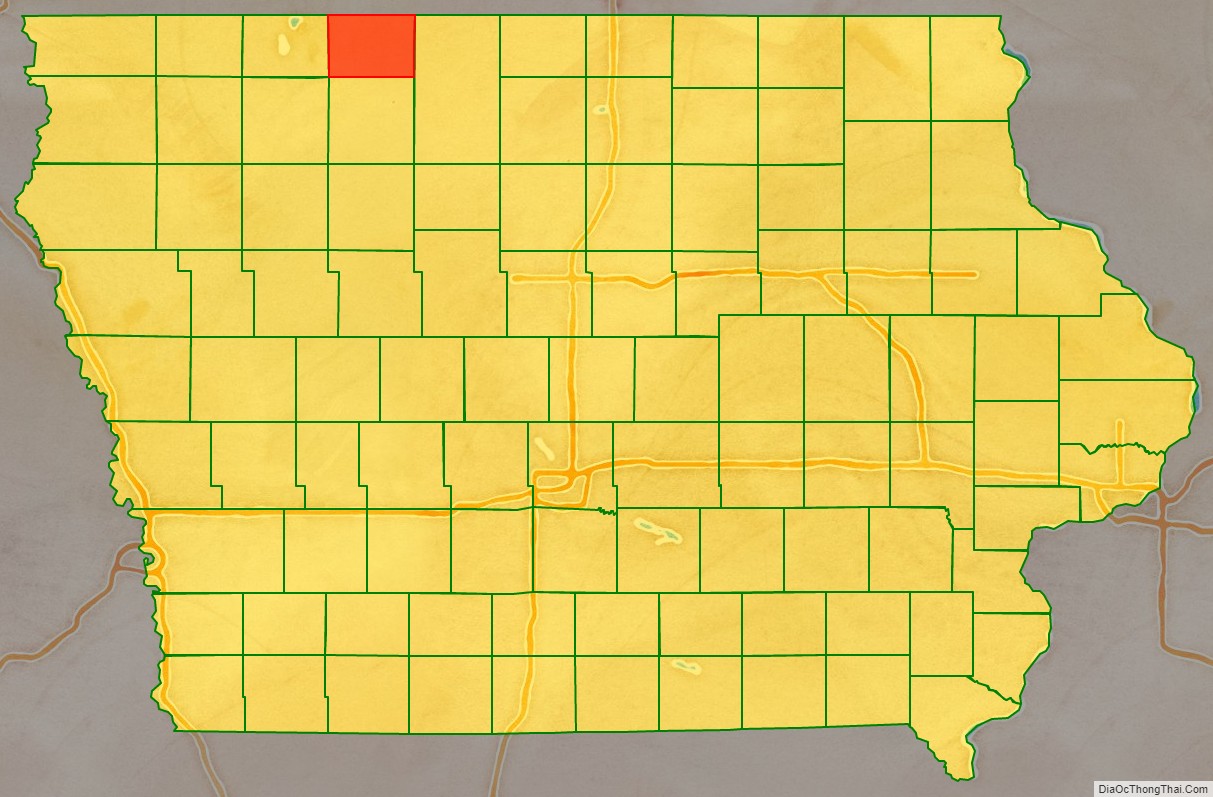
Emmet County is a county located in the U.S. state of Iowa. As of the 2020 census, the population was 9,388. The county seat is Estherville.
| Name: | Emmet County |
|---|---|
| FIPS code: | 19-063 |
| State: | Iowa |
| Founded: | 1851 |
| Named for: | Robert Emmet |
| Seat: | Estherville |
| Largest city: | Estherville |
| Total Area: | 408 sq mi (1,060 km²) |
| Land Area: | 401.4 sq mi (1,040 km²) |
| Total Population: | 9,388 |
| Population Density: | 23/sq mi (8.9/km²) |
| Time zone: | UTC−6 (Central) |
| Summer Time Zone (DST): | UTC−5 (CDT) |
| Website: | emmetcounty.iowa.gov |
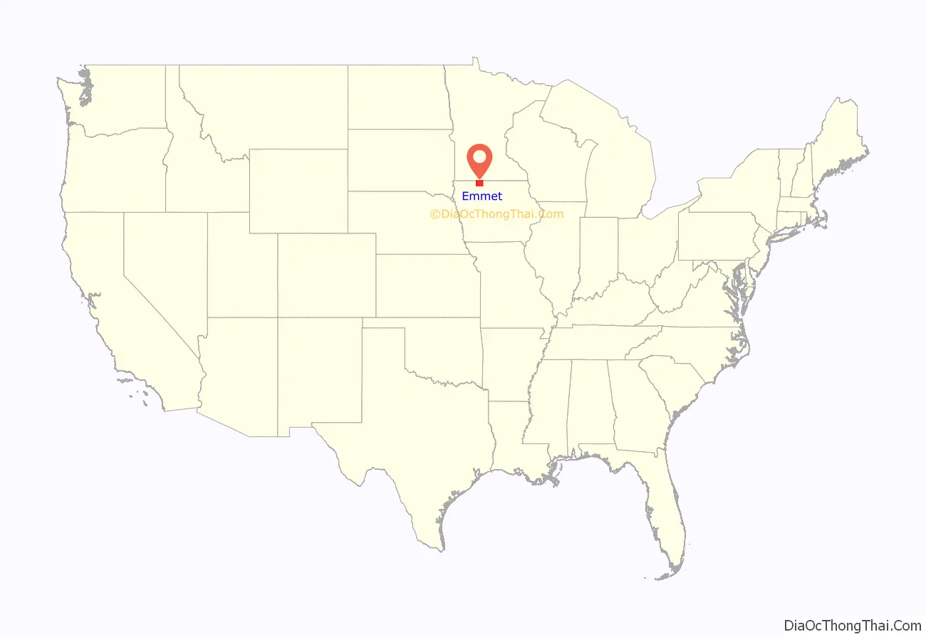
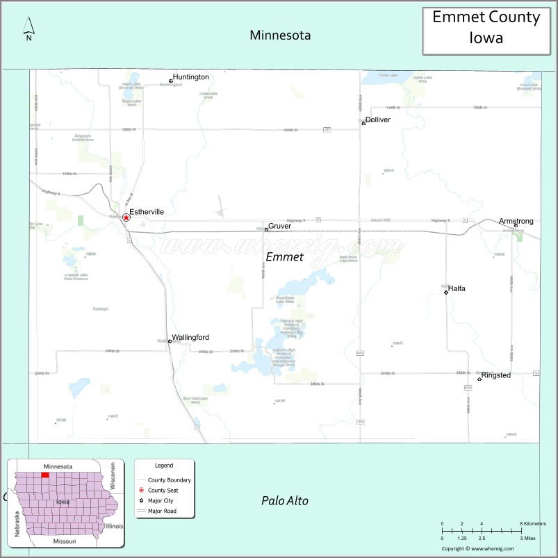
Emmet County location map. Where is Emmet County?
History
Emmet County was created by authority of the Iowa Legislature in 1851. There were finally enough settlers in the area to organize the county in 1859. The county was named for the Irish patriot Robert Emmet, who was hanged as a traitor to the British government at the age of 25.
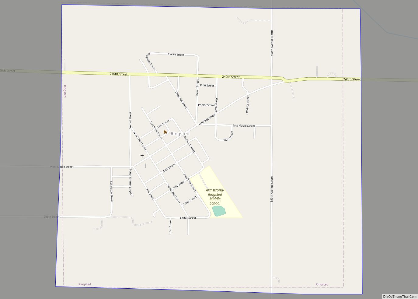
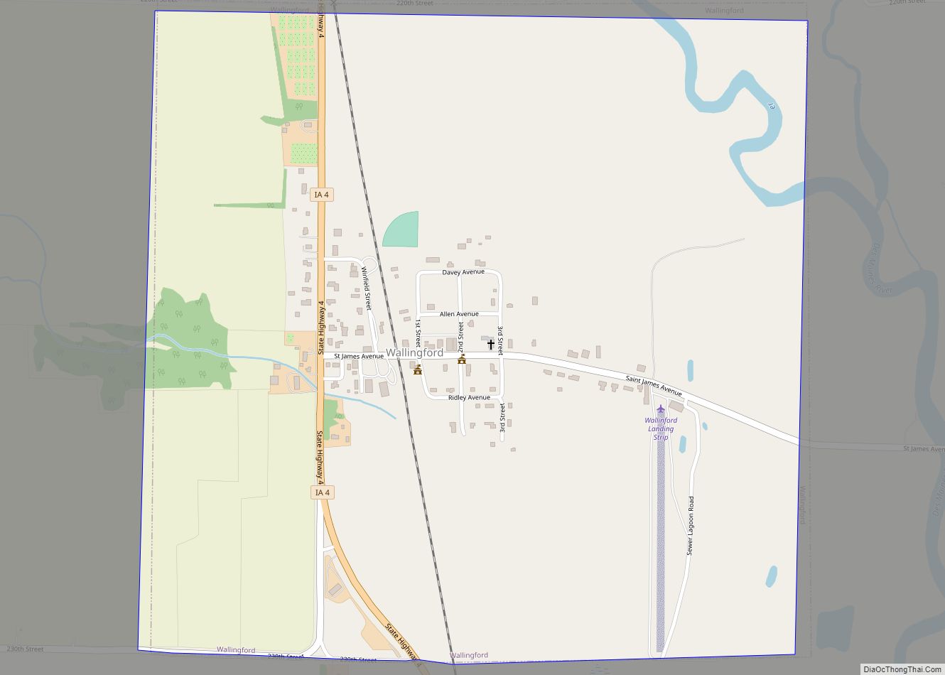
Emmet County Road Map
Geography
According to the U.S. Census Bureau, the county has a total area of 403 square miles (1,040 km), of which 396 square miles (1,030 km) is land and 6.6 square miles (17 km) (1.4=6%) is water. It is the second-smallest county by land area in Iowa, and the fourth-smallest by total area.
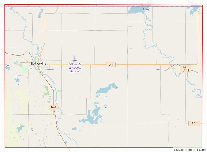
Major highways
- Iowa Highway 4
- Iowa Highway 9
- Iowa Highway 15
Adjacent counties
- Jackson County, Minnesota (northwest)
- Martin County, Minnesota (northeast)
- Kossuth County (east)
- Palo Alto County (south)
- Dickinson County (west)
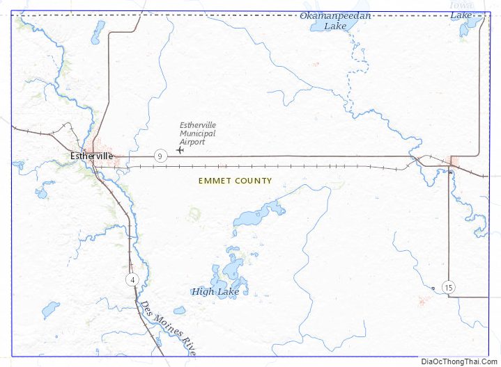
Emmet County Topographic Map
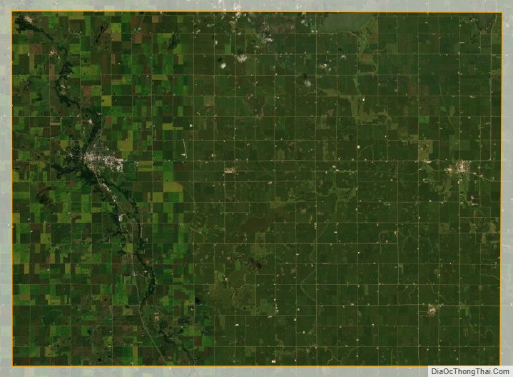
Emmet County Satellite Map
Emmet County Outline Map