Dorchester County is a county located in the U.S. state of Maryland. At the 2020 census, the population was 32,531. Its county seat is Cambridge. The county was formed in 1669 and named for the Earl of Dorset, a family friend of the Calverts (the founding family of the Maryland colony).
Dorchester County comprises the Cambridge, MD Micropolitan Statistical Area, which is also included in the Salisbury-Cambridge, MD-DE Combined Statistical Area. It is located on the Eastern Shore of Maryland.
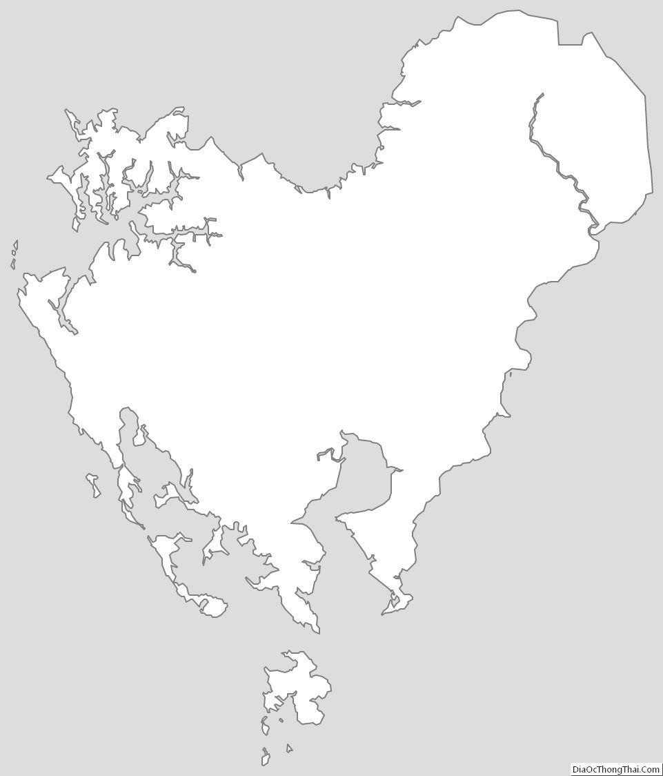
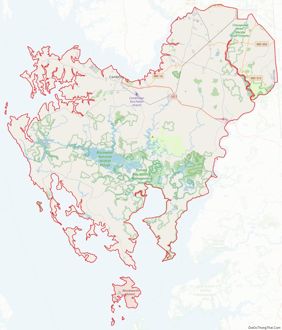
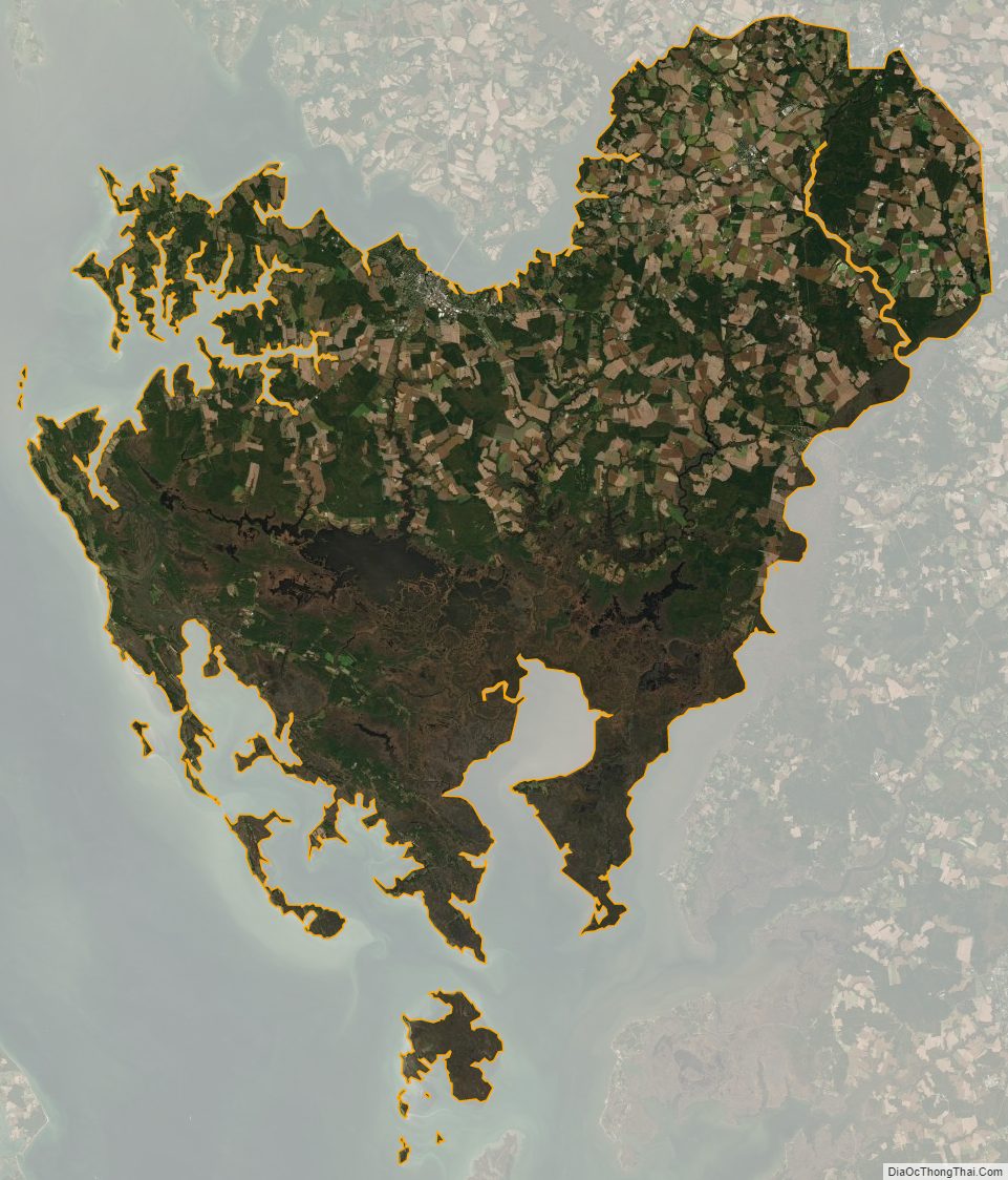
Dorchester County is the largest county by total area on the Eastern Shore. It is bordered by the Choptank River to the north, Talbot County to the northwest, Caroline County to the northeast, Wicomico County to the southeast, Sussex County, Delaware, to the east, and the Chesapeake Bay to the west. Dorchester County uses the slogan, “The Heart of Chesapeake Country”, due to its geographical location and the heart-like shape of the county on a map.
| Name: | Dorchester County |
|---|---|
| FIPS code: | 24-019 |
| State: | Maryland |
| Founded: | 1669 |
| Named for: | Earl of Dorset |
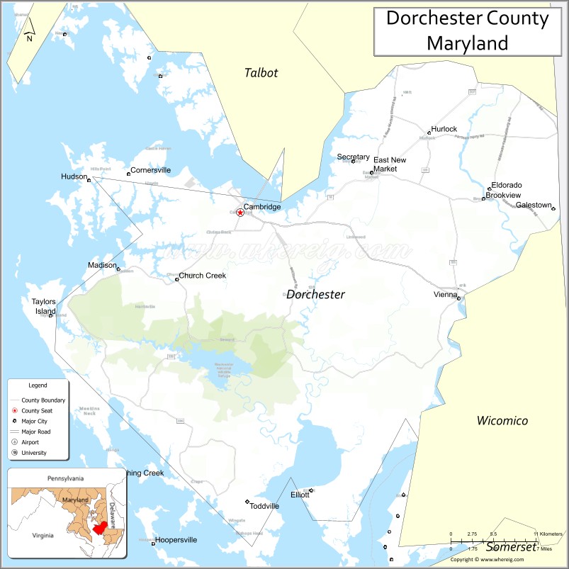
| Seat: | Cambridge |
| Largest city: | Cambridge |
| Total Area: | 983 sq mi (2,550 km²) |
| Land Area: | 541 sq mi (1,400 km²) |
| Total Population: | 32,531 |
| Population Density: | 60.13/sq mi (23.22/km²) |
| Time zone: | UTC−5 (Eastern) |
| Summer Time Zone (DST): | UTC−4 (EDT) |
| Website: | www.dorchestercountymd.com |
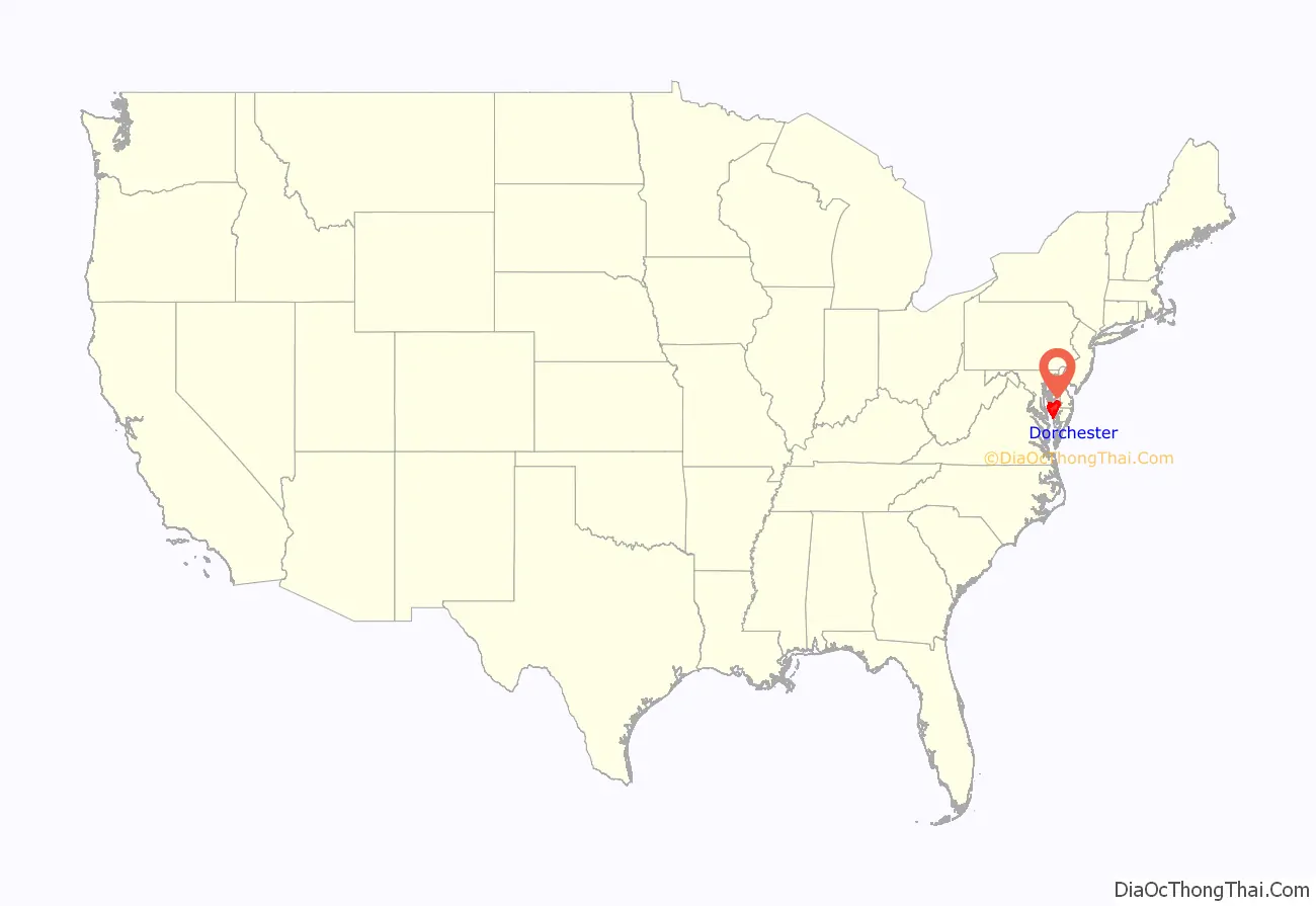
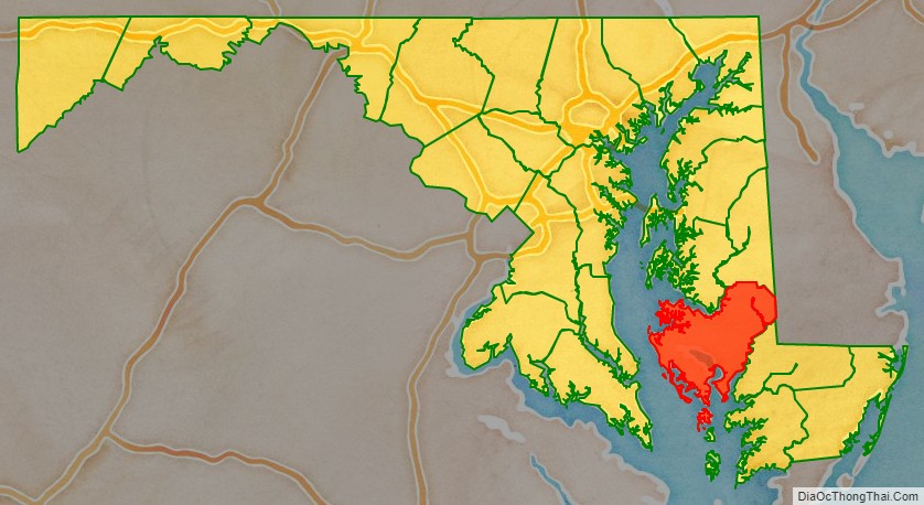
Dorchester County location map. Where is Dorchester County?
History
Many residents of Dorchester County have historically been watermen and farmers. The Chesapeake Bay and its tributaries provide harvests of crabs, oysters and many fish species to both commercial and recreational fishermen. Dorchester County was the birthplace of Harriet Tubman, who escaped from slavery and afterward worked to guide other refugee slaves to freedom in the North.
Dorchester County has been hit by two deadly tornadoes. The first occurred on June 23, 1944, in Cambridge, where two people were killed and 33 were injured. The other was on May 8, 1984, in Hurlock, where one death and six injuries were reported. Both storms caused between 500,000 and 5 million dollars of damage.
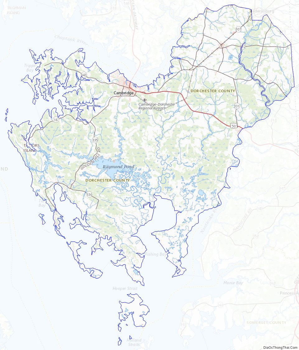
Dorchester County Road Map
Geography
According to the U.S. Census Bureau, the county has a total area of 983 square miles (2,550 km), of which 541 square miles (1,400 km) is land and 442 square miles (1,140 km) (45%) is water. It is the largest county in Maryland by area.
Climate
Dorchester has a humid subtropical climate (Cfa) according to the Köppen climate classification. The Trewartha climate classification.has only the area near the bay as Cf and the remainder of the county as oceanic (Do.) Average monthly temperatures in Cambridge range from 36.1 °F in January to 78.4 °F in July. [1]
Adjacent counties
- Caroline County (north and northeast)
- Sussex County, Delaware (east)
- Talbot County (north)
- Somerset County (southeast)
- Saint Mary’s County (southwest)
- Wicomico County (east and southeast)
- Calvert County (west)
National protected area
- Blackwater National Wildlife Refuge
Dorchester County Topographic Map
Dorchester County Satellite Map
Dorchester County Outline Map