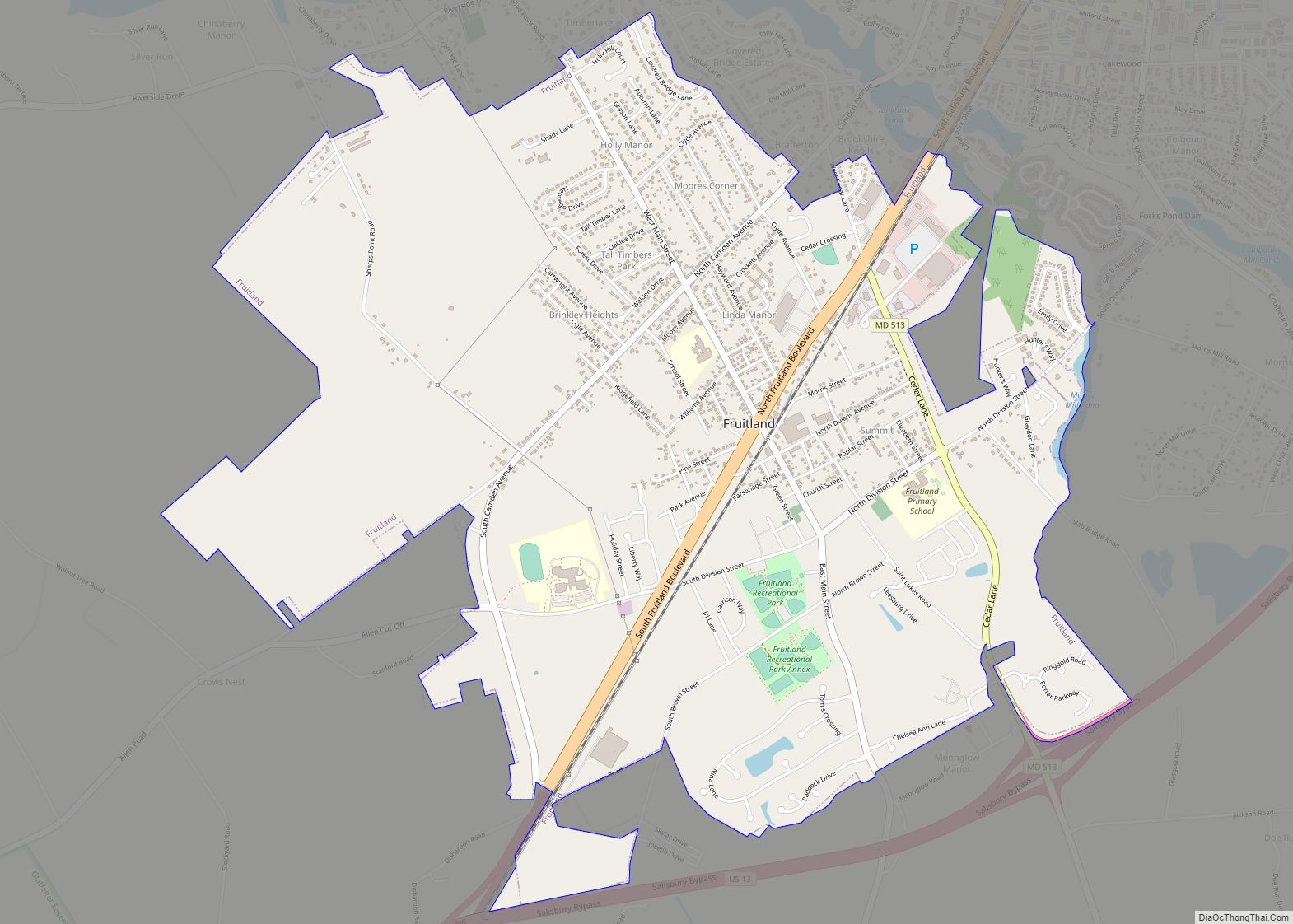
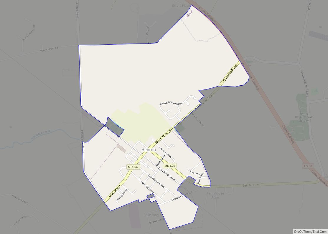
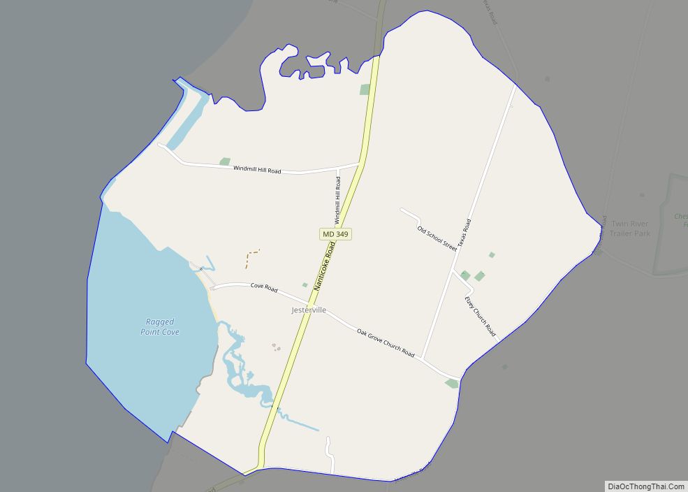
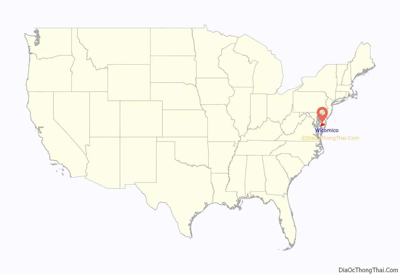
Wicomico County (/waɪˈkɒmɪkoʊ/ wy-KOM-ik-oh) is located in the southeastern part of the U.S. state of Maryland, on the Delmarva Peninsula. As of the 2020 census, the population was 103,588. The county seat is Salisbury. The county was named for the Wicomico River, which in turn derives its name from the Algonquian language words wicko mekee, meaning “a place where houses are built,” apparently referring to a Native American town on the banks. The county is included in the Salisbury, MD-DE Metropolitan Statistical Area.
| Name: | Wicomico County |
|---|---|
| FIPS code: | 24-045 |
| State: | Maryland |
| Founded: | 1867 |
| Named for: | Wicomico River |
| Seat: | Salisbury |
| Largest city: | Salisbury |
| Total Area: | 400 sq mi (1,000 km²) |
| Land Area: | 374 sq mi (970 km²) |
| Total Population: | 103,588 |
| Population Density: | 260/sq mi (100/km²) |
| Time zone: | UTC−5 (Eastern) |
| Summer Time Zone (DST): | UTC−4 (EDT) |
| Website: | www.wicomicocounty.org |
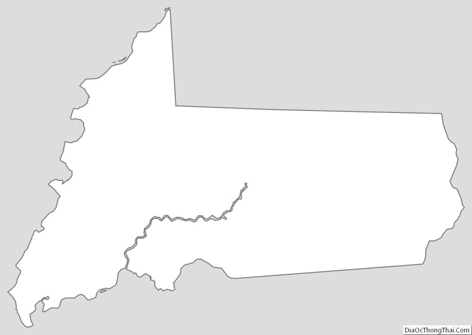
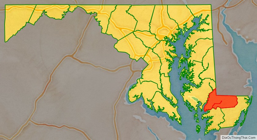
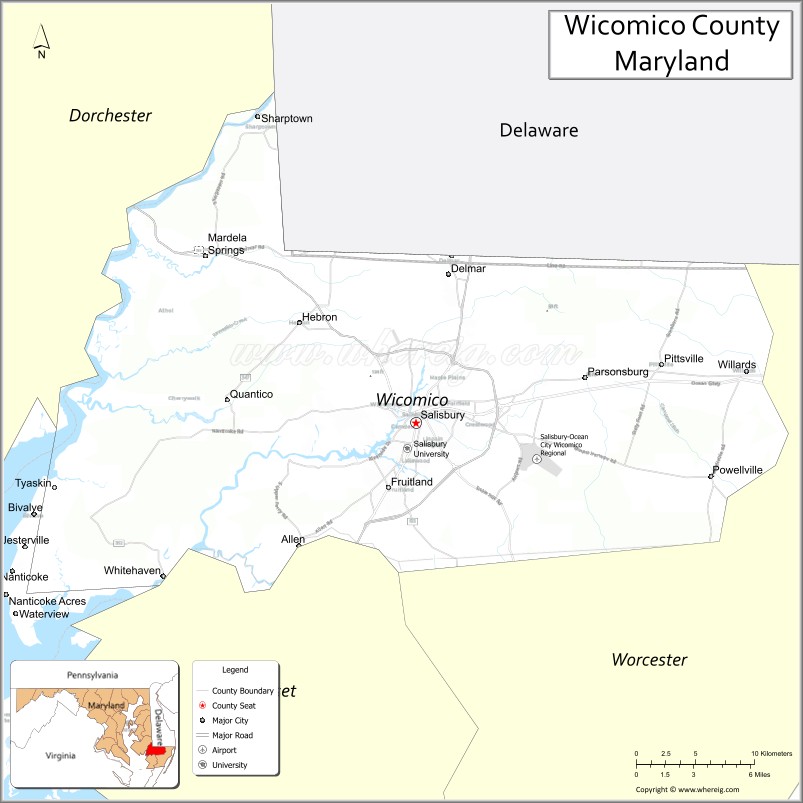
Wicomico County location map. Where is Wicomico County?
History
Wicomico County was created from Somerset and Worcester counties in 1867.
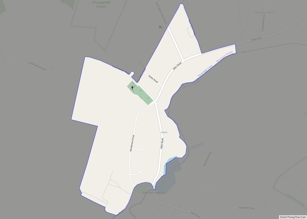
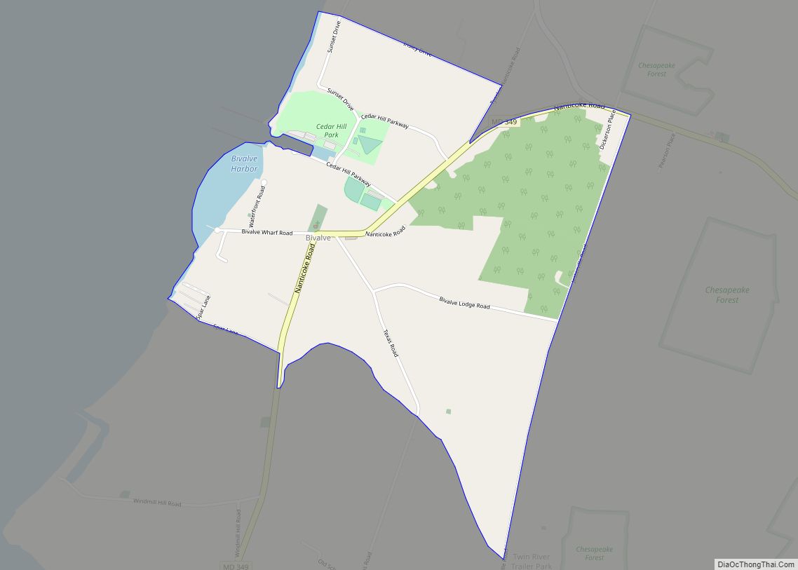
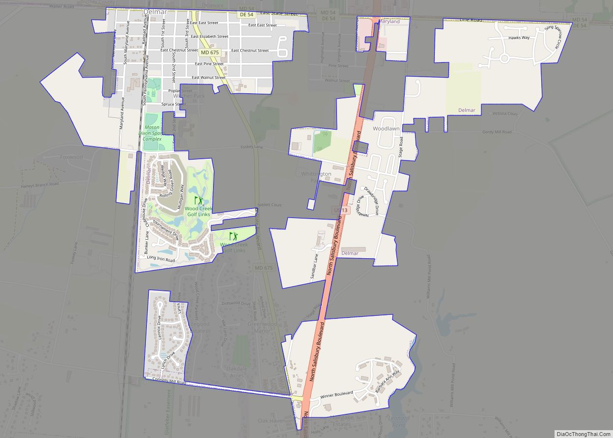
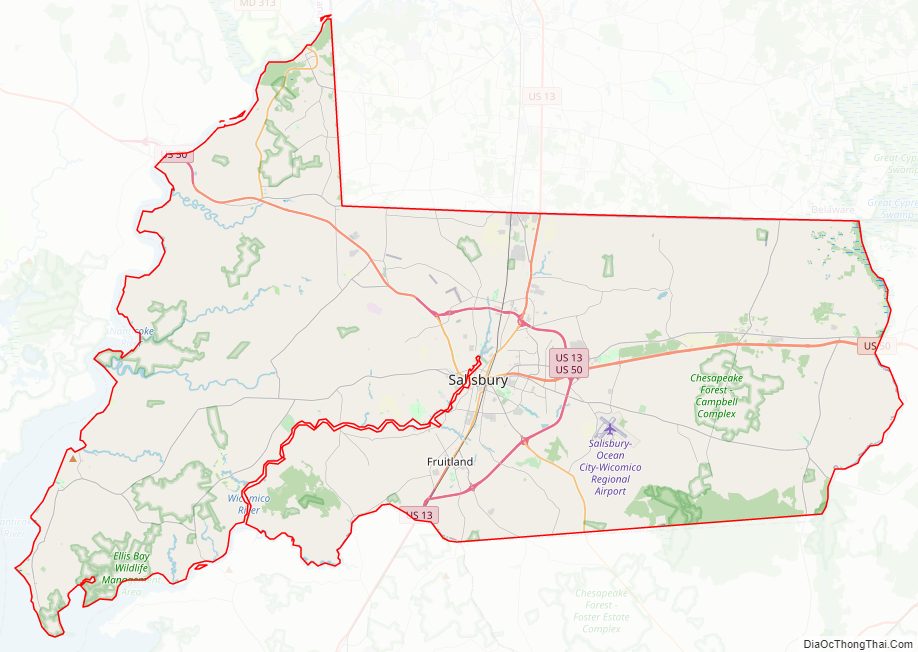
Wicomico County Road Map
Geography
According to the U.S. Census Bureau, the county has a total area of 400 square miles (1,000 km), of which 374 square miles (970 km) is land and 26 square miles (67 km) (6.4%) is water.
The county’s boundary with Delaware is composed of the Mason-Dixon line and the Transpeninsular Line. The intersection of these two historical lines is the midpoint of the Transpeninsular Line, fixed by Mason and Dixon between 1763 and 1767. The midpoint is located about 8 miles (13 km) northwest of Salisbury, near the center of the Delmarva Peninsula. The county is generally flat, characteristic of the region, with a few small hills in the northeast. The lowest elevation is at sea level and the highest elevation is 98 ft (30 m).
Adjacent counties
- Dorchester County, Maryland (northwest)
- Somerset County, Maryland (southwest)
- Sussex County, Delaware (north)
- Worcester County, Maryland (southeast)
Major highways
- US 13
- US 13 Bus.
- US 50
- US 50 Bus.
- MD 12
- MD 54
- MD 313
- MD 346
- MD 347
- MD 348
- MD 349
- MD 350
- MD 352
- MD 353
- MD 354
- MD 374
- MD 513
- MD 670
- MD 675
- MD 815
- MD 992
Climate
The county has a humid subtropical climate (Cfa) according to the Köppen climate classification. According to the Trewartha climate classification, the subtropical boundary of eight months of daily averages of at least 50 °F (10 °C) runs through the northern part of Wicomico County. The hardiness zone is mainly 7b.
Wicomico County Topographic Map

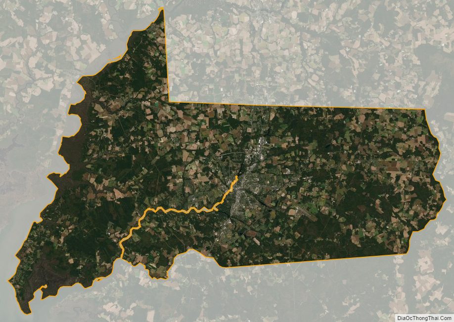
Wicomico County Satellite Map
Wicomico County Outline Map