Cambridge is a city in Dorchester County, Maryland, United States. The population was 13,096 at the 2020 census. It is the county seat of Dorchester County and the county’s largest municipality. Cambridge is the fourth most populous city in Maryland’s Eastern Shore region, after Salisbury, Elkton and Easton.
| Name: | Cambridge city |
|---|---|
| LSAD Code: | 25 |
| LSAD Description: | city (suffix) |
| State: | Maryland |
| County: | Dorchester County |
| Incorporated: | 1793 |
| Elevation: | 20 ft (6 m) |
| Total Area: | 12.95 sq mi (33.53 km²) |
| Land Area: | 10.65 sq mi (27.58 km²) |
| Water Area: | 2.30 sq mi (5.96 km²) |
| Total Population: | 13,096 |
| Population Density: | 1,230.02/sq mi (474.90/km²) |
| ZIP code: | 21613 |
| Area code: | 410 |
| FIPS code: | 2412400 |
| GNISfeature ID: | 0589879 |
| Website: | www.choosecambridge.com |
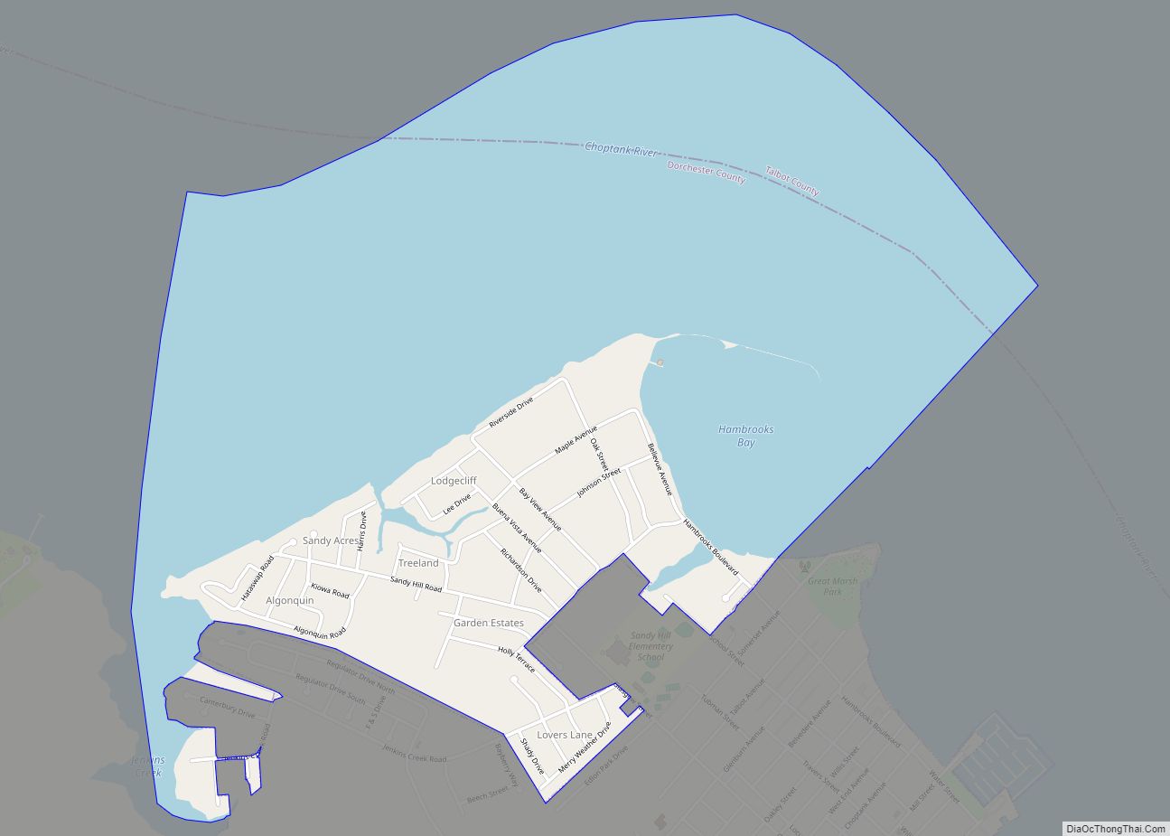
Online Interactive Map
Click on ![]() to view map in "full screen" mode.
to view map in "full screen" mode.
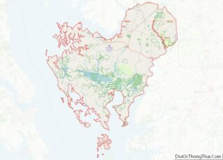
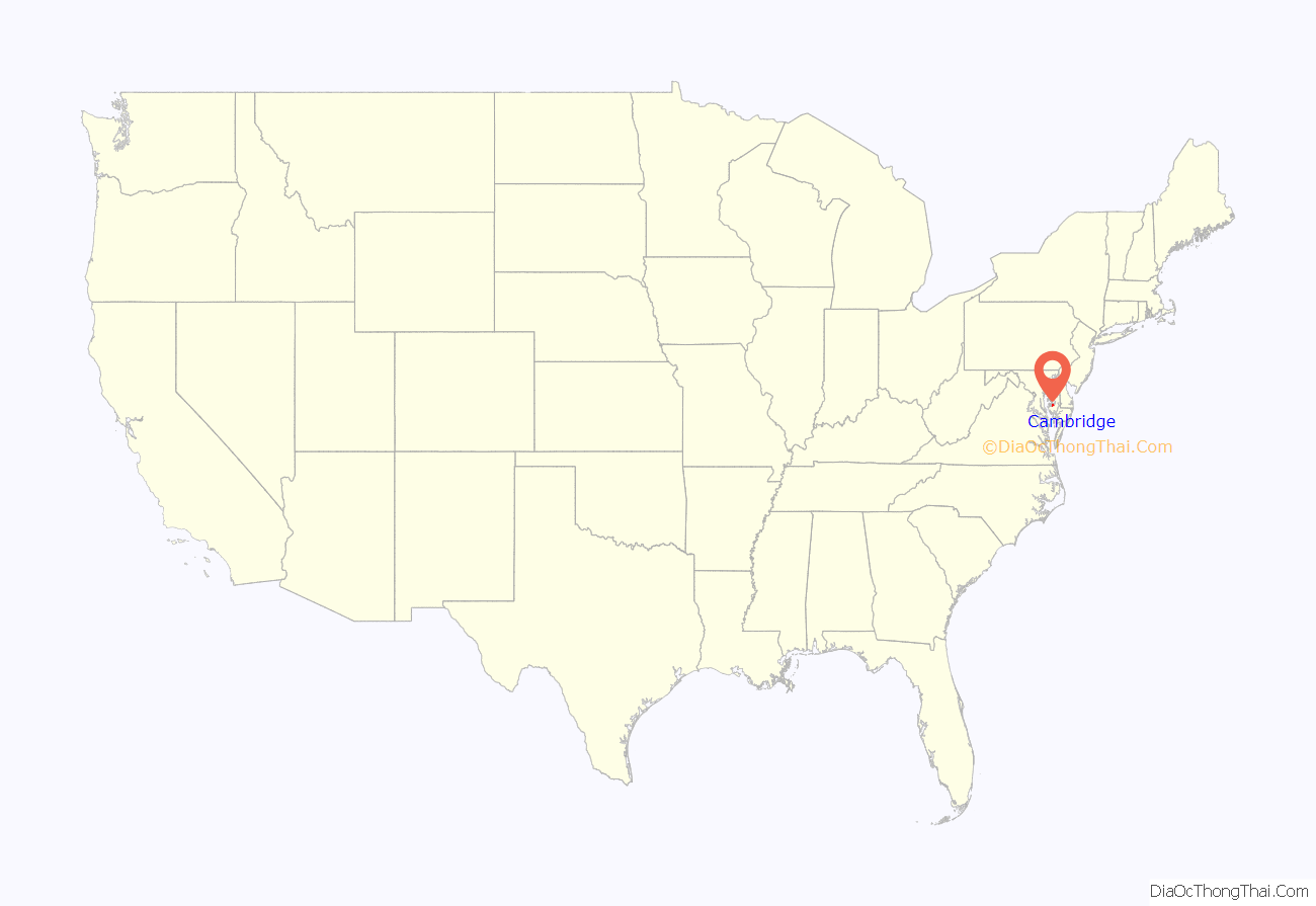
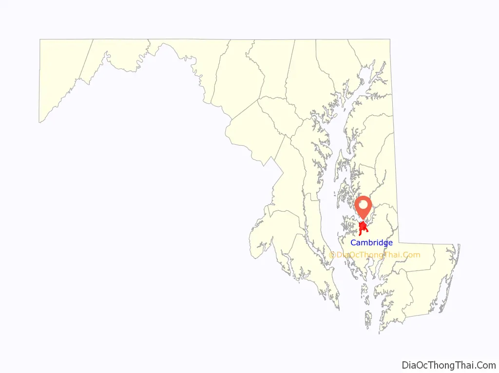
Cambridge location map. Where is Cambridge city?
History
Colonial era
Settled by English colonists in 1684, Cambridge is one of the oldest colonial cities in Maryland. At the time of English colonization, the Algonquian-speaking Choptank Indians were wandering along the river of the same name. During the colonial years, the English colonists developed farming on the Eastern Shore. The largest plantations were devoted first to tobacco, and then mixed farming. Planters bought enslaved people to farm tobacco and mixed farming. The town was a trading center for the area. The town pier was the center for slave trading for the region, a history well documented by historical markers throughout the town center.
National era
It was incorporated officially in 1793, and occupies part of the former Choptank Indian Reservation. Cambridge was named after the city and county in England. The town became a stop on the Underground Railroad, which had an extensive network of safe houses for enslaved people escaping to the north.
Cambridge developed food processing industries in the late 19th century, canning oysters, tomatoes and sweet potatoes. Industrial growth in Cambridge was led by the Phillips Packing Company, which eventually grew to become the area’s largest employer. The company won contracts with the Department of Defense during the First and Second World wars that aided its growth. At its peak, it employed as many as 10,000 workers. Changing tastes brought about a decline in business, leading Phillips to downsize its operations. By the early 1960s, the company ceased operations altogether. This led to widescale unemployment and added to the city’s growing social problems.
Cambridge movement
During the period from 1962 until 1967, Cambridge was a center of protests during the Civil Rights Movement as local blacks sought equal access to employment and housing. They also sought to end racial segregation in schools and other public accommodations. Riots erupted in Cambridge in 1963 and 1967, and the Maryland National Guard was deployed to the city to assist local authorities with peace-keeping efforts. The leader of the movement was Gloria Richardson. With the passage of the Civil Rights Act of 1964, public segregation in Cambridge officially ended.
Present
In 2002, the city’s economy was boosted by jobs and tourism associated with the opening of the 400-room Hyatt Regency Chesapeake Bay resort. This resort includes a golf course, spa, and marina. The resort was the site of the 2007 U.S. House Republican Conference, which included an address by U.S. President George W. Bush, as well as subsequent visits by U.S. President Barack Obama.
Cambridge was designated a Maryland Main Street community on July 1, 2003. Cambridge Main Street is a comprehensive downtown revitalization process created by the Maryland Department of Housing and Community Development. It plans to strengthen the economic potential of select cities around the state. The initiative has led to enhancements of its heritage tourism attractions. Together with other cities on the Eastern Shore, Cambridge is attracting more tourists. It has revitalized its downtown business district, part of which was designated a historic district in 1990.
Four different teams in the old Eastern Shore Baseball League—the Canners, Cardinals, Clippers, and Dodgers—were located in Cambridge.
The Brinsfield I Site, Cambridge Historic District, Wards I and III, Christ Episcopal Church and Cemetery, Dale’s Right, Dorchester County Courthouse and Jail, Glasgow, Goldsborough House, LaGrange, Annie Oakley House, Patricia (log canoe), Pine Street Neighborhood Historic District, Rock Methodist Episcopal Church, Stanley Institute, Sycamore Cottage, and Yarmouth are listed on the National Register of Historic Places.
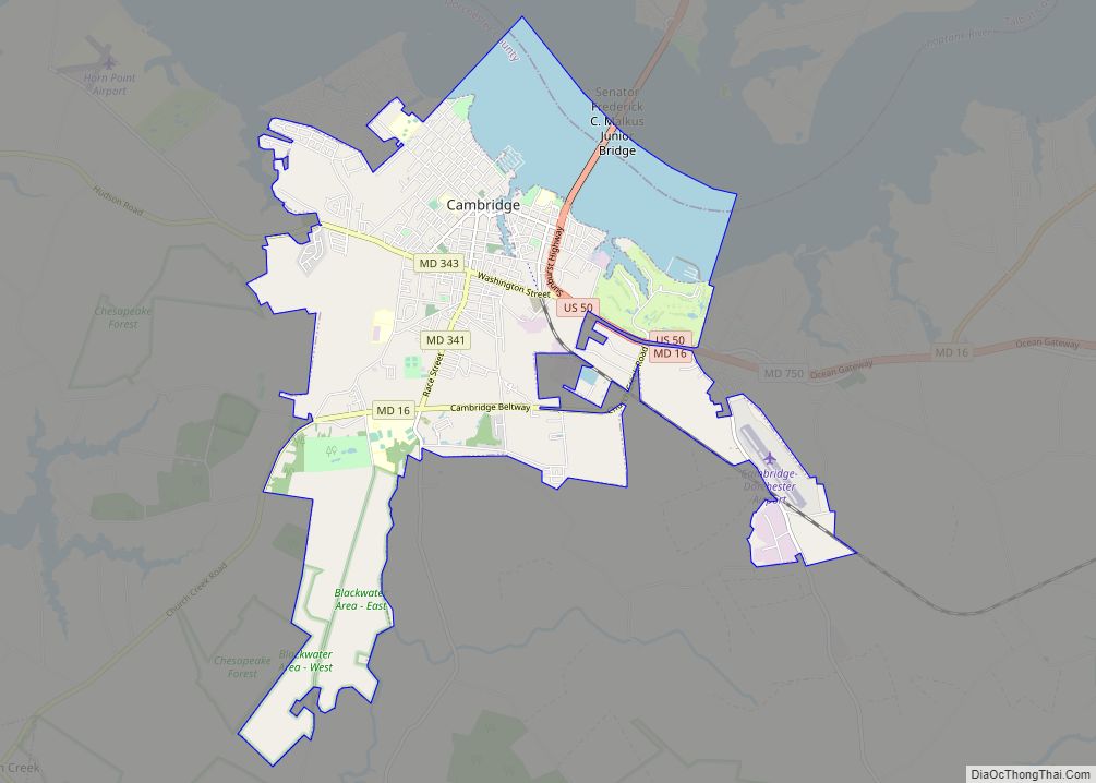
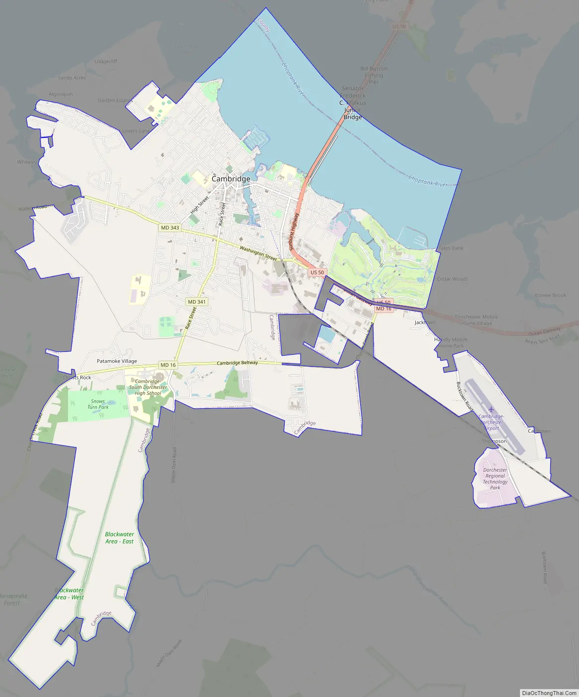
Cambridge Road Map
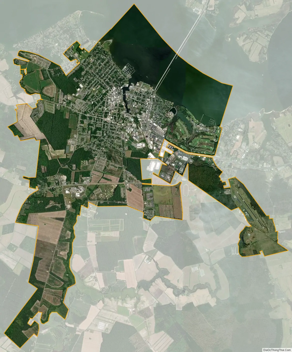
Cambridge city Satellite Map
Geography
Cambridge is located at 38°33′59″N 76°4′37″W / 38.56639°N 76.07694°W / 38.56639; -76.07694Coordinates: 38°33′59″N 76°4′37″W / 38.56639°N 76.07694°W / 38.56639; -76.07694.
According to the United States Census Bureau, the city has a total area of 12.64 square miles (32.74 km), of which, 10.34 square miles (26.78 km) is land and 2.30 square miles (5.96 km) is water.
Cambridge is on the southern bank of the Choptank River.
Climate and climate mitigation
The climate in this area is characterized by hot, humid summers and generally mild to cool winters. According to the Köppen climate classification system, Cambridge has a humid subtropical climate, abbreviated “Cfa” on climate maps.
A 4.3 MW solar farm in Cambridge supplies about 40% of the power for the National Aquarium, and saves about 1,300 metric tons of carbon dioxide during the summer.
See also
Map of Maryland State and its subdivision: Map of other states:- Alabama
- Alaska
- Arizona
- Arkansas
- California
- Colorado
- Connecticut
- Delaware
- District of Columbia
- Florida
- Georgia
- Hawaii
- Idaho
- Illinois
- Indiana
- Iowa
- Kansas
- Kentucky
- Louisiana
- Maine
- Maryland
- Massachusetts
- Michigan
- Minnesota
- Mississippi
- Missouri
- Montana
- Nebraska
- Nevada
- New Hampshire
- New Jersey
- New Mexico
- New York
- North Carolina
- North Dakota
- Ohio
- Oklahoma
- Oregon
- Pennsylvania
- Rhode Island
- South Carolina
- South Dakota
- Tennessee
- Texas
- Utah
- Vermont
- Virginia
- Washington
- West Virginia
- Wisconsin
- Wyoming