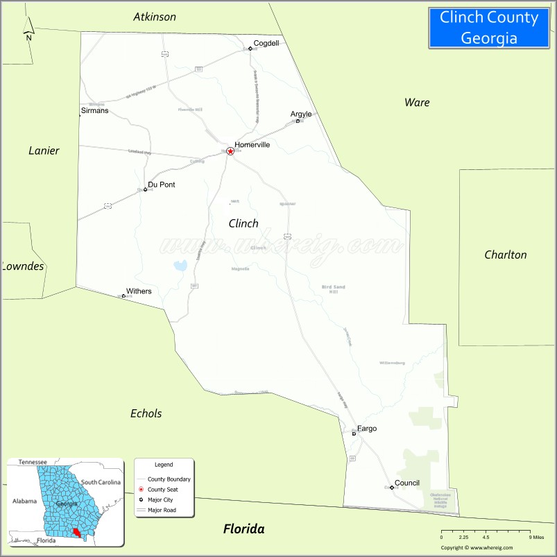
Clinch County is a county located in the southeastern part of the U.S. state of Georgia. As of the 2020 census, the population was 6,749. The county seat is Homerville. The county was created on February 14, 1850, named in honor of Duncan Lamont Clinch.
| Name: | Clinch County |
|---|---|
| FIPS code: | 13-065 |
| State: | Georgia |
| Founded: | 1850 |
| Named for: | Duncan Lamont Clinch |
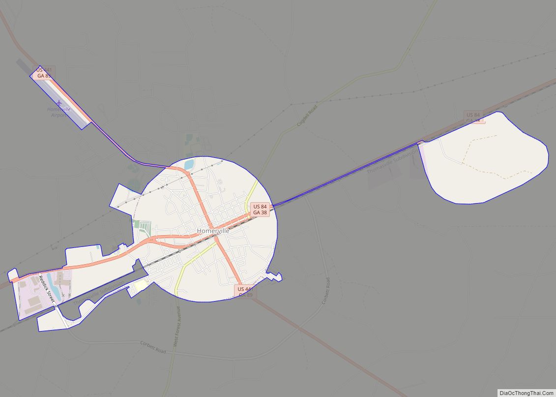
| Seat: | Homerville |
| Largest city: | Homerville |
| Total Area: | 824 sq mi (2,130 km²) |
| Land Area: | 800 sq mi (2,000 km²) |
| Total Population: | 6,749 |
| Population Density: | 8.4/sq mi (3.2/km²) |
| Time zone: | UTC−5 (Eastern) |
| Summer Time Zone (DST): | UTC−4 (EDT) |
| Website: | clinchcountyga.gov |
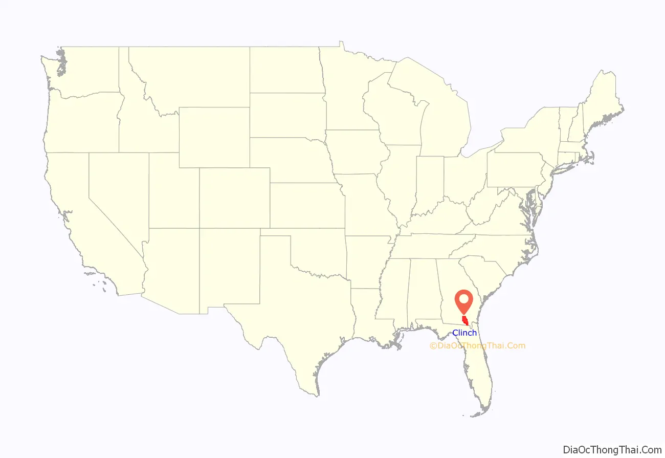
Clinch County location map. Where is Clinch County?
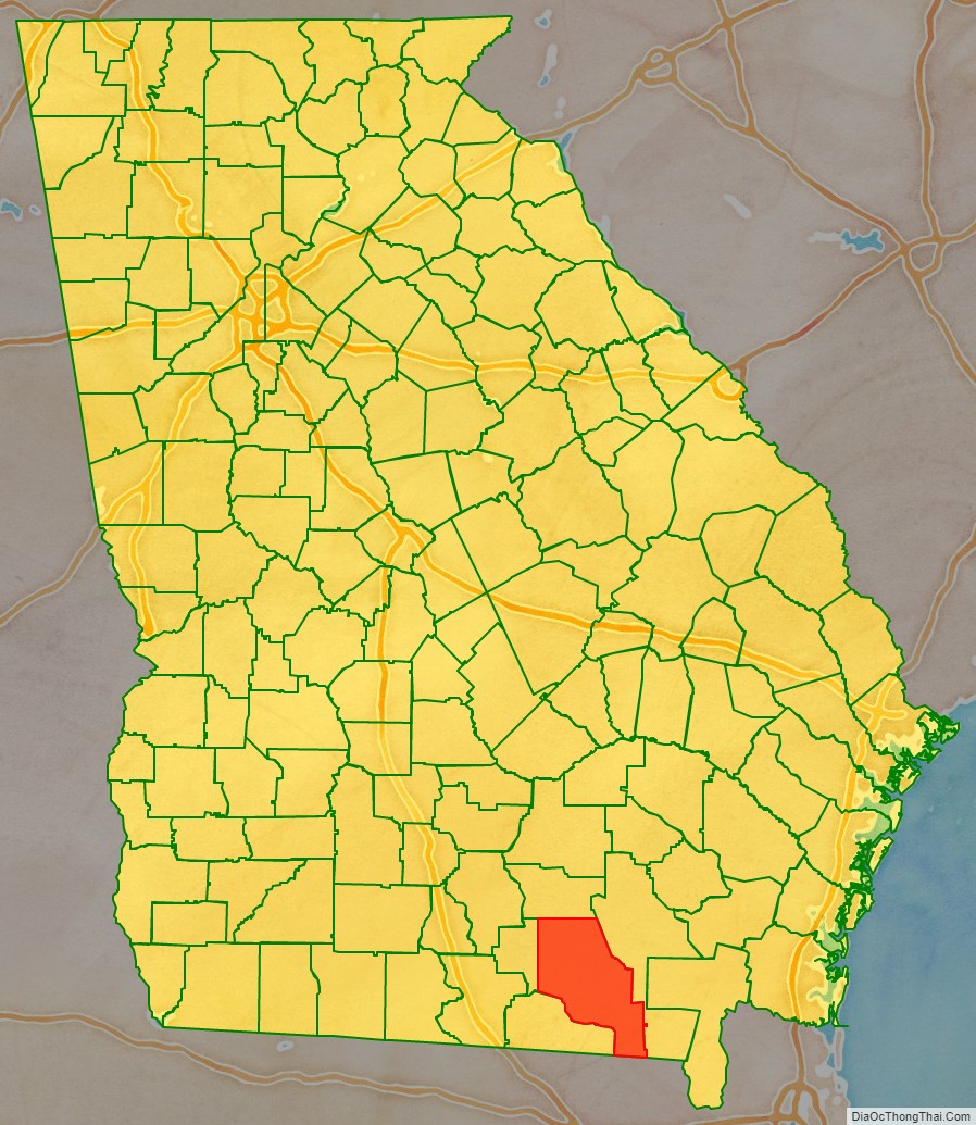
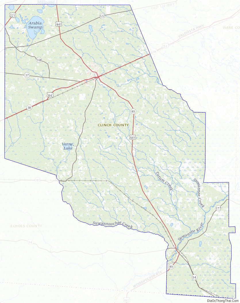
Clinch County Road Map
Geography
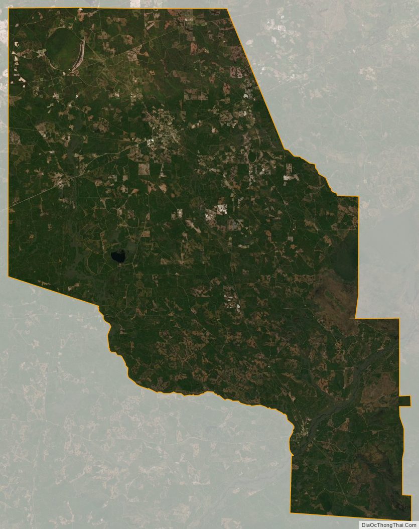
According to the U.S. Census Bureau, the county has a total area of 824 square miles (2,130 km), of which 800 square miles (2,100 km) is land and 24 square miles (62 km) (2.9%) is water. It is the fourth-largest county in Georgia by land area and third-largest by total area. Eastern and southeastern portions of the county lie within the Okefenokee Swamp and its federally protected areas.
The vast majority of Clinch County is located in the Upper Suwannee River sub-basin of the Suwannee River basin, with just a portion of the western and northwestern edge of the county, southwest and well northwest of Du Pont, located in the Alapaha River sub-basin of the same Suwannee River basin.
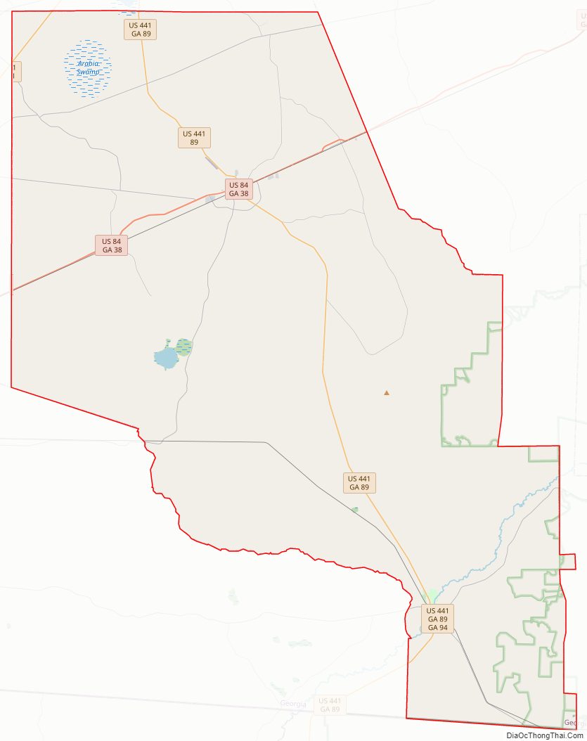
Major highways
- U.S. Route 84
- U.S. Route 221
- U.S. Route 441
- State Route 31
- State Route 37
- State Route 38
- State Route 89
- State Route 94
- State Route 122
- State Route 168
- State Route 177
- State Route 187
Adjacent counties
- Atkinson County (north)
- Ware County (east)
- Columbia County, Florida (south)
- Baker County, Florida (south)
- Echols County (southwest)
- Lanier County (west)
National protected area
- Okefenokee National Wildlife Refuge (part)
Clinch County Topographic Map
Clinch County Satellite Map
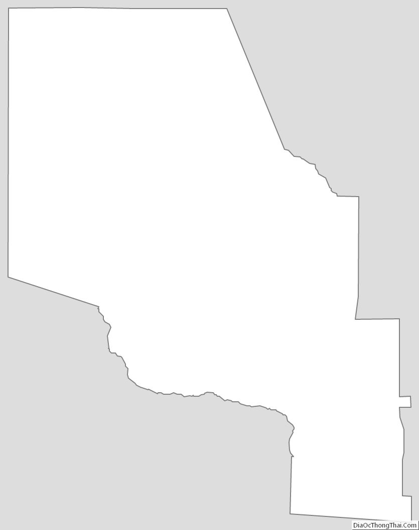
Clinch County Outline Map