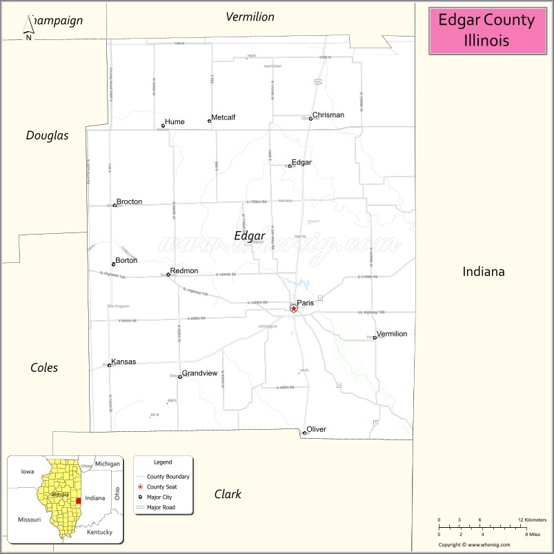
Edgar County is a county located in the U.S. state of Illinois. As of the 2020 United States Census, the population was 16,866. Its county seat is Paris.
| Name: | Edgar County |
|---|---|
| FIPS code: | 17-045 |
| State: | Illinois |
| Founded: | January 3, 1823 |
| Named for: | John Edgar |
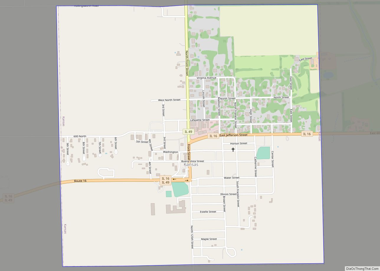
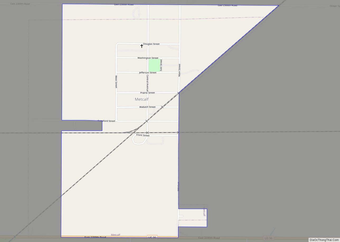
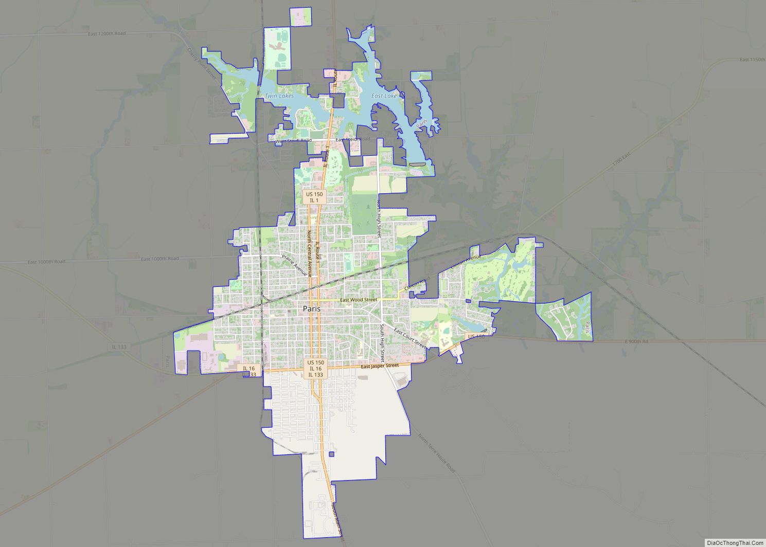
| Seat: | Paris |
| Largest city: | Paris |
| Total Area: | 624 sq mi (1,620 km²) |
| Land Area: | 623 sq mi (1,610 km²) |
| Total Population: | 16,866 |
| Population Density: | 27/sq mi (10/km²) |
| Time zone: | UTC−6 (Central) |
| Summer Time Zone (DST): | UTC−5 (CDT) |
| Website: | www.edgarcountyillinois.com |
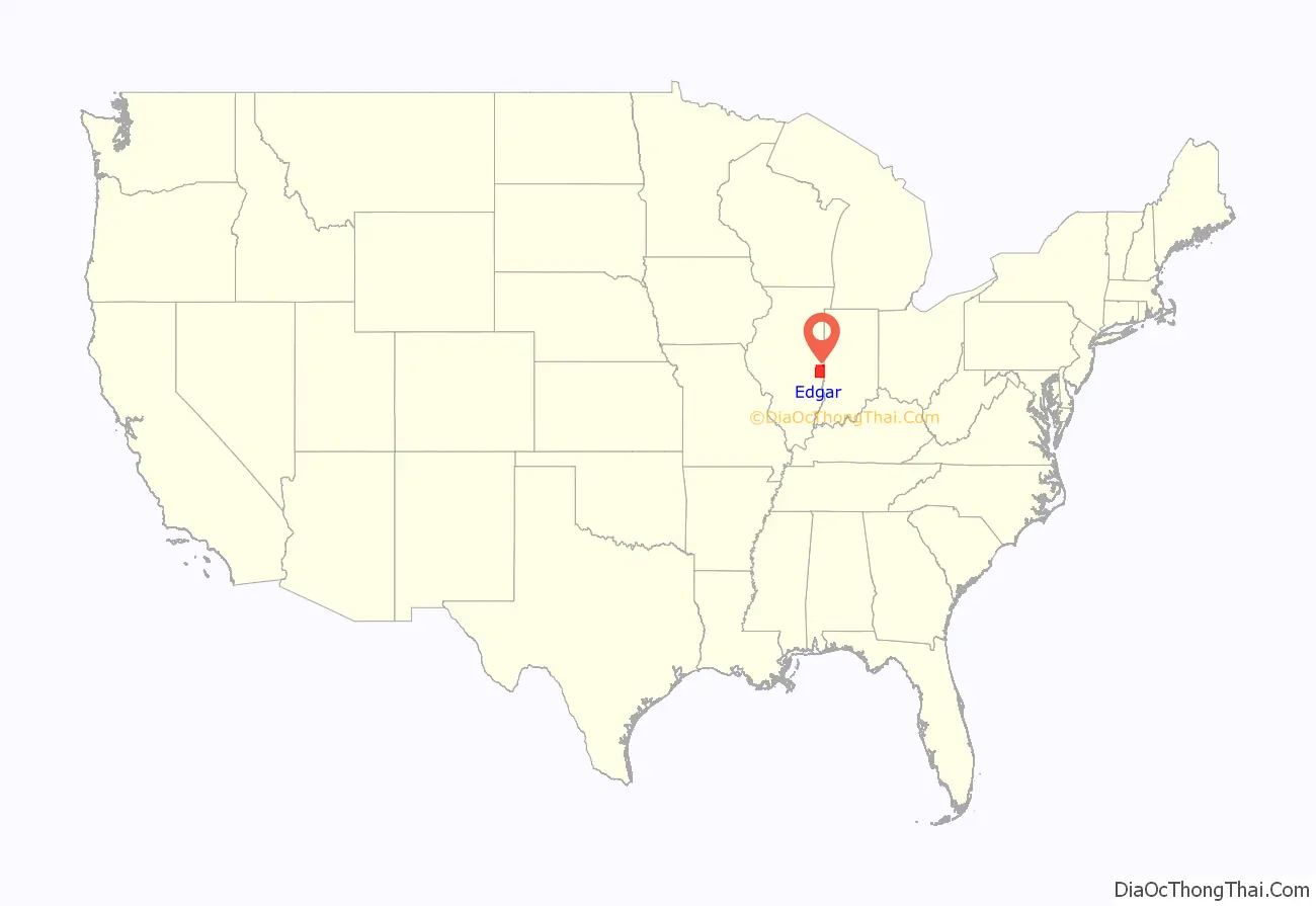
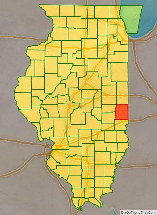
Edgar County location map. Where is Edgar County?
History
Edgar County was formed out of Clark County in 1823. It was named for John Edgar, an Irish-born officer in the Royal Navy who resigned rather than fight against the Americans in the Revolutionary War. Edgar moved to Kaskaskia, Illinois, in 1784, becoming a miller and merchant in that town.
Edgar County (1823), with unorganized territory attached to it.
Edgar County (1825–1826)
Edgar County (1826–1830)
Edgar County (1830–present), with the additional territory incorporated into Coles County
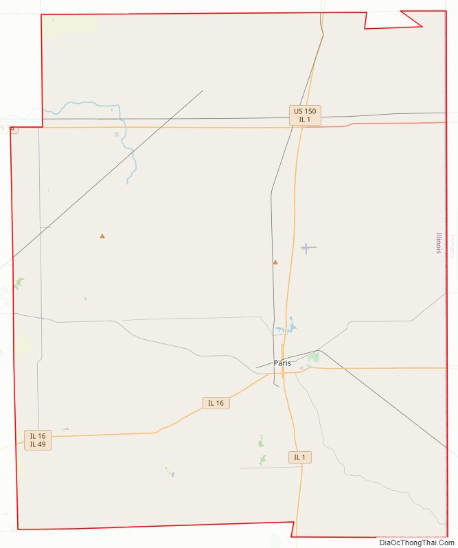
Edgar County Road Map
Geography
According to the US Census Bureau, the county has a total area of 624 square miles (1,620 km), of which 623 square miles (1,610 km) is land and 0.6 square miles (1.6 km) (0.1%) is water.
There is one recreational area in the county, on the north edge of Paris. Twin Lakes Park and Reservoir began in 1895 upon completion of the dam compounding the Twin Lakes Reservoir.
Climate and weather
In recent years, average temperatures in the county seat of Paris have ranged from a low of 16 °F (−9 °C) in January to a high of 86 °F (30 °C) in July, although a record low of −23 °F (−31 °C) was recorded in January 1930 and a record high of 109 °F (43 °C) was recorded in July 1936. Average monthly precipitation ranged from 2.23 inches (57 mm) in January to 4.43 inches (113 mm) in July.
Adjacent counties
- Vermilion County – north
- Vermillion County, Indiana – northeast
- Vigo County, Indiana – southeast
- Clark County – south
- Coles County – southwest
- Douglas County – west
- Champaign County – northwest
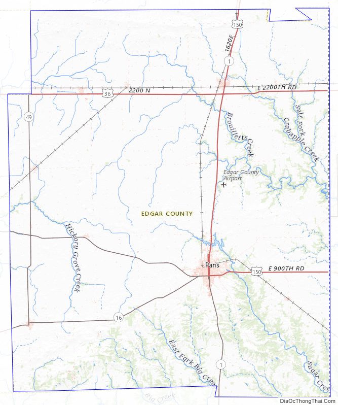
Edgar County Topographic Map
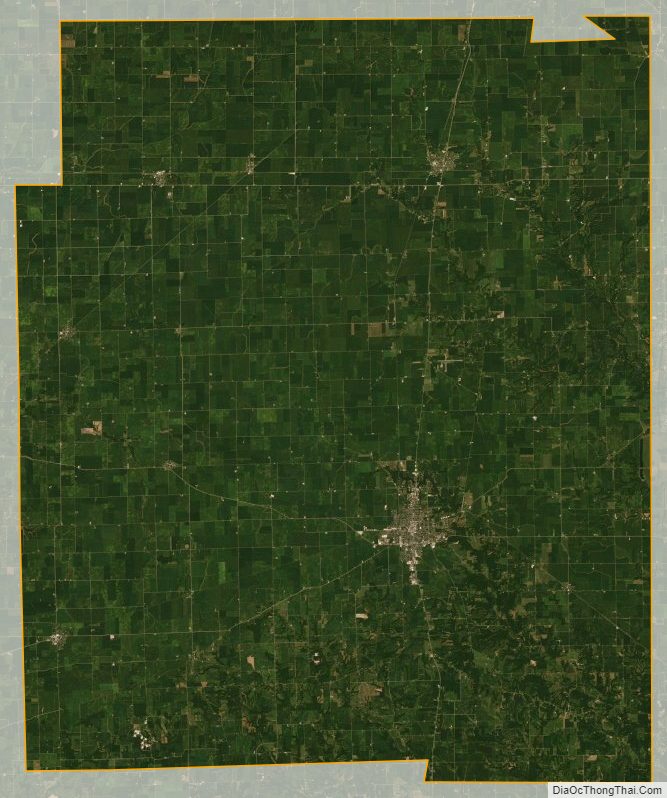
Edgar County Satellite Map
Edgar County Outline Map