Douglas County is a county located in the U.S. state of Illinois. As of the 2020 United States Census, the population was 19,740. The county seat is Tuscola.
| Name: | Douglas County |
|---|---|
| FIPS code: | 17-041 |
| State: | Illinois |
| Founded: | 1859 |
| Named for: | Stephen A. Douglas |
| Seat: | Tuscola |
| Largest city: | Tuscola |
| Total Area: | 417 sq mi (1,080 km²) |
| Land Area: | 416 sq mi (1,080 km²) |
| Total Population: | 19,740 |
| Population Density: | 47/sq mi (18/km²) |
| Time zone: | UTC−6 (Central) |
| Summer Time Zone (DST): | UTC−5 (CDT) |
| Website: | www.douglascountyil.com |
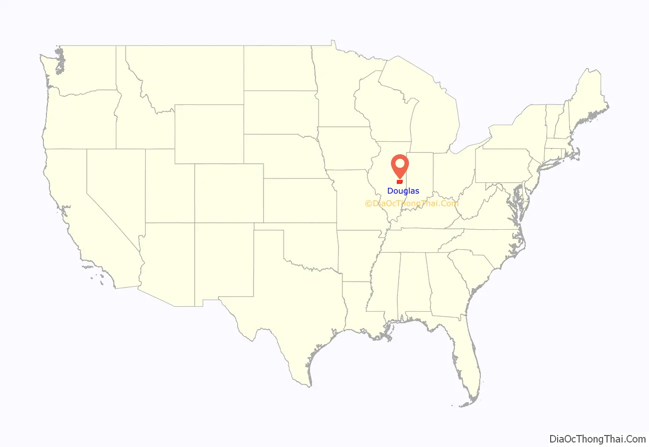
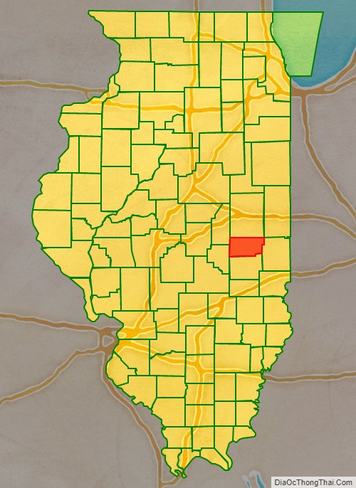
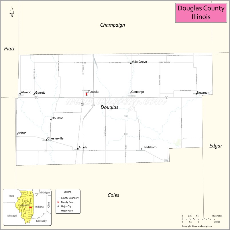
Douglas County location map. Where is Douglas County?
History
Douglas County was formed in 1859 out of Coles County. It was named for Stephen A. Douglas, who was elected to the United States Senate in 1858, following the Lincoln-Douglas Debates.
The creation of Douglas and Ford Counties in 1859 resulted in Illinois’ current county map.
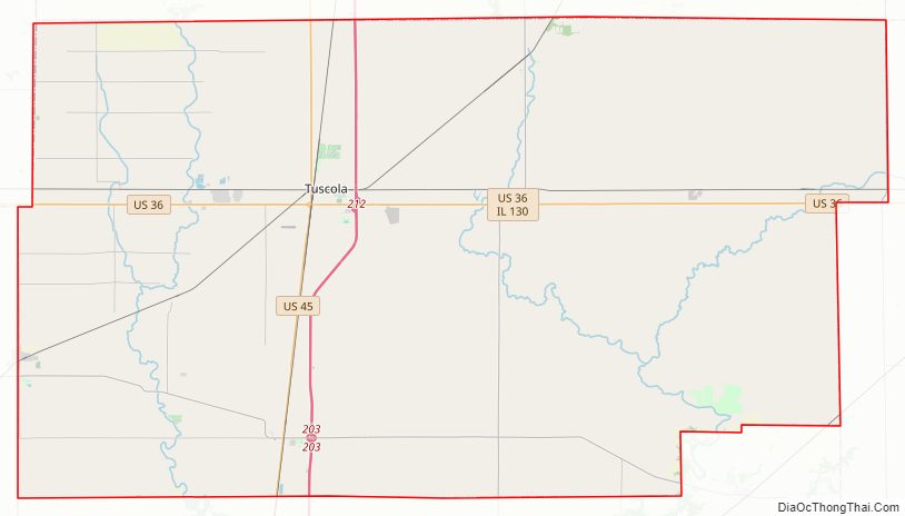
Douglas County Road Map
Geography
According to the US Census Bureau, the county has a total area of 417 square miles (1,080 km), of which 417 square miles (1,080 km) is land and 0.6 square miles (1.6 km) (0.1%) is water.
Climate and weather
In recent years, average temperatures in the county seat of Tuscola have ranged from a low of 18 °F (−8 °C) in January to a high of 88 °F (31 °C) in July, although a record low of −26 °F (−32 °C) was recorded in December 1989 and a record high of 113 °F (45 °C) was recorded in July 1954. Average monthly precipitation ranged from 2.12 inches (54 mm) in February to 4.64 inches (118 mm) in July.
Adjacent counties
- Champaign County – north
- Vermilion County – northeast
- Edgar County – east
- Coles County – south
- Moultrie County – west
- Piatt County – northwest
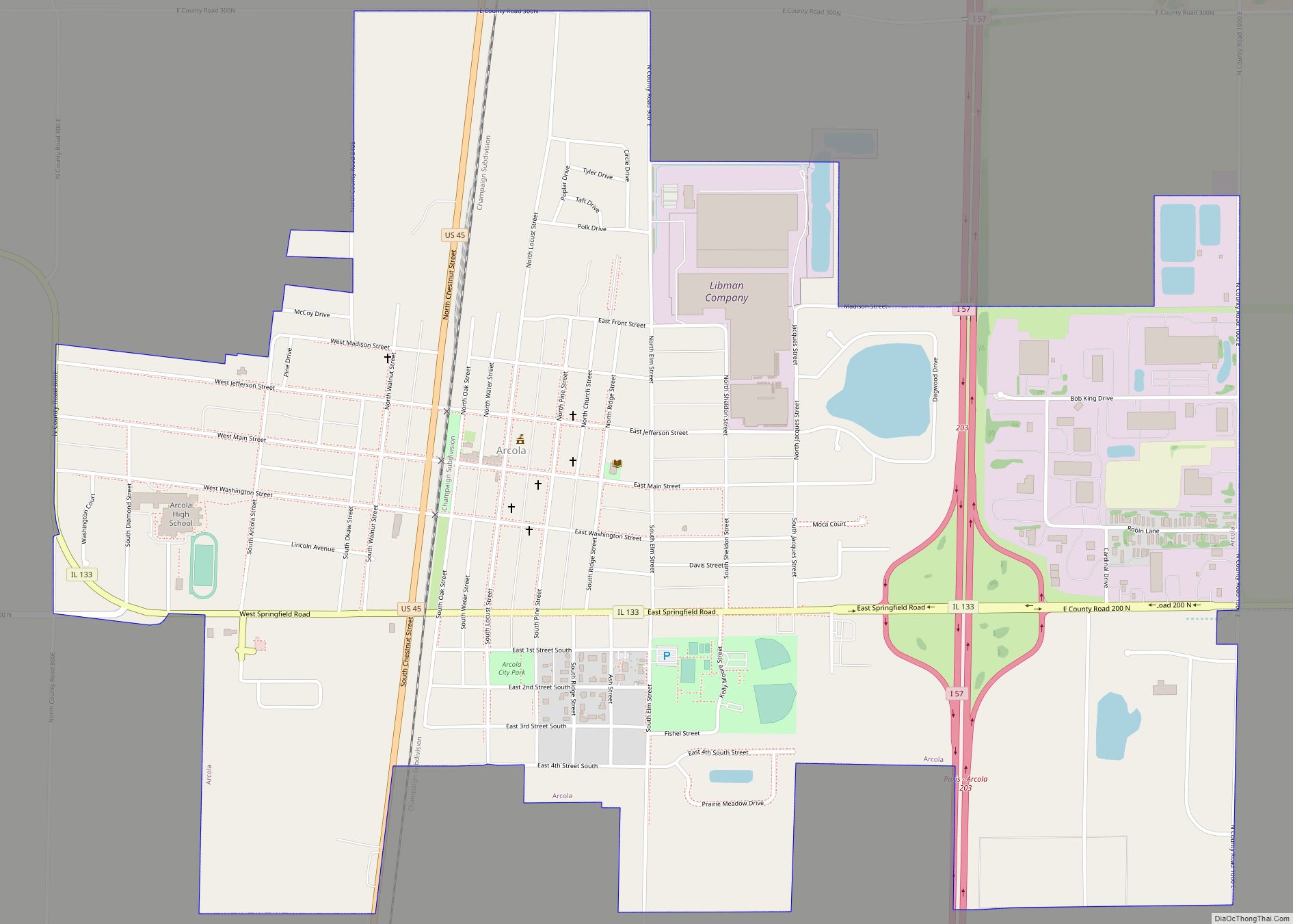
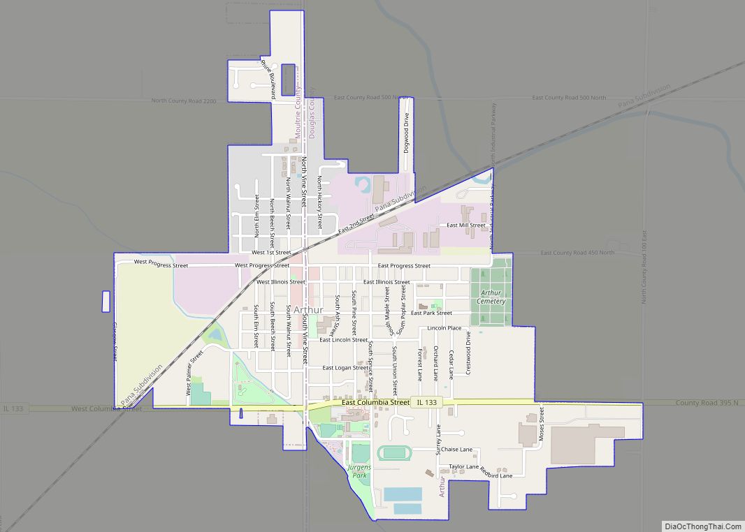
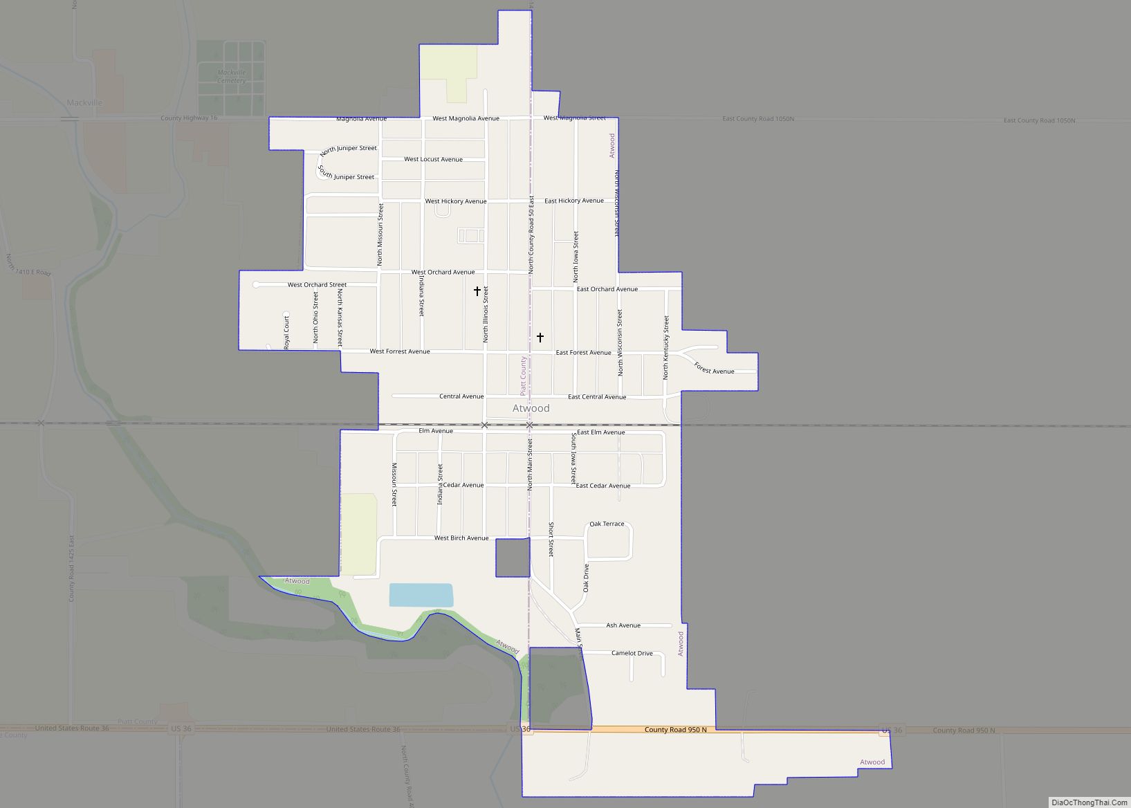
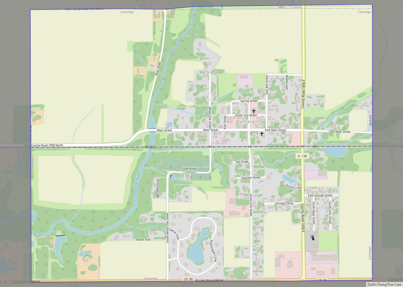
Major highways
- Interstate 57
- US Route 36
- US Route 45
- Illinois Route 49
- Illinois Route 130
- Illinois Route 133
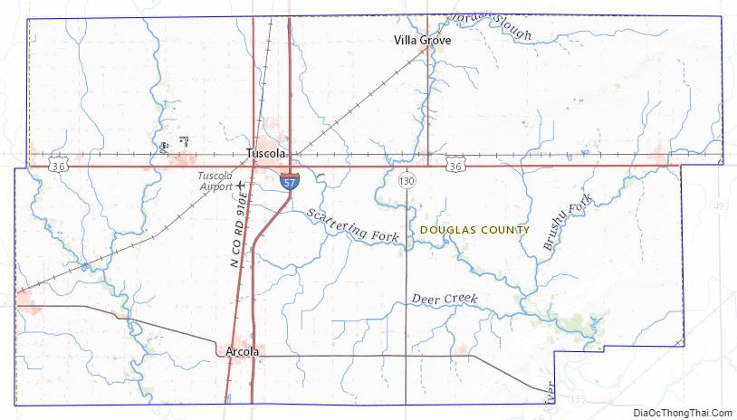
Douglas County Topographic Map
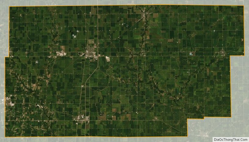
Douglas County Satellite Map
Douglas County Outline Map