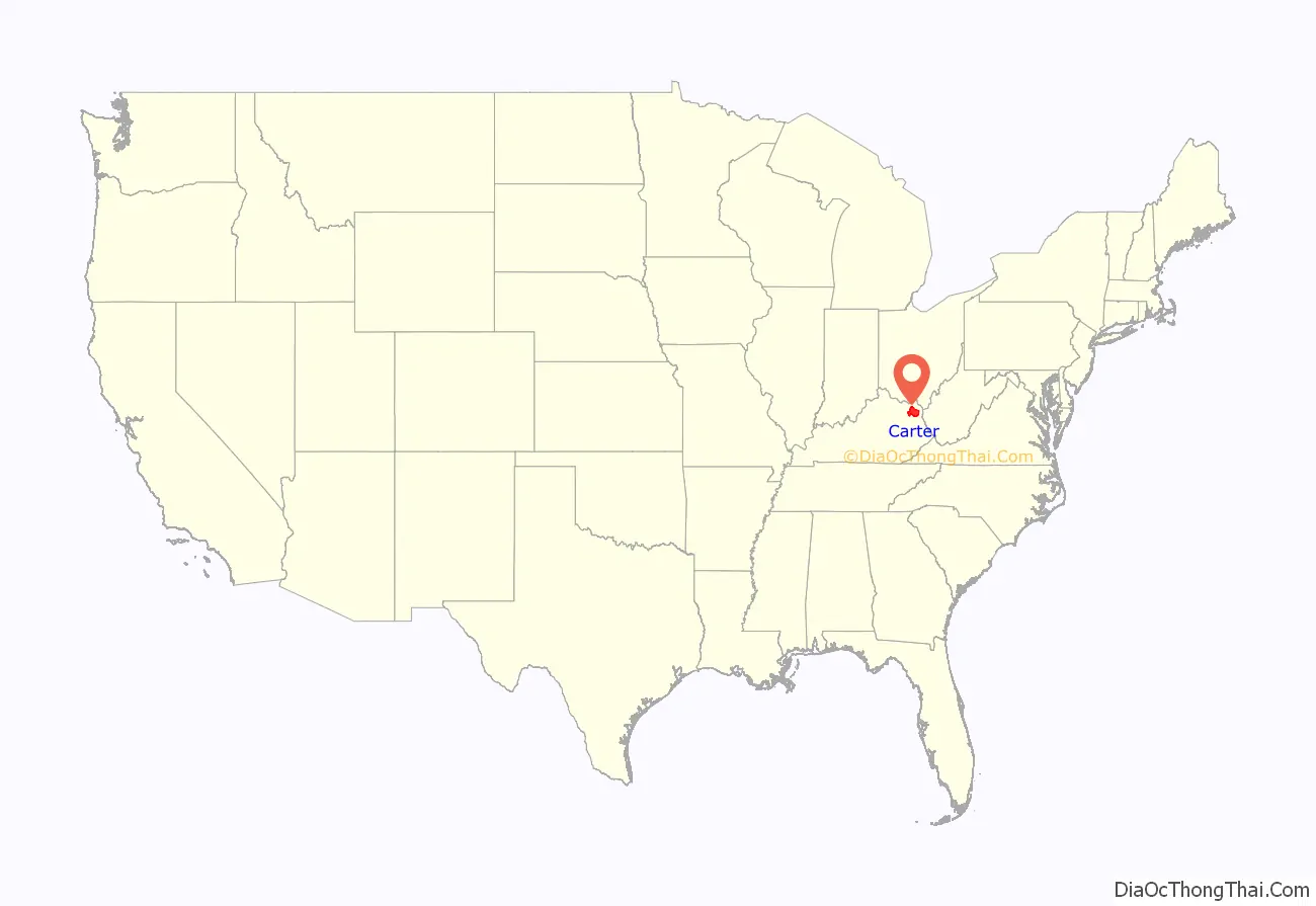
Carter County is a county located in the U.S. state of Kentucky. As of the 2020 census, the population was 26,627. Its county seat is Grayson. Carter County is in the Huntington-Ashland, WV-KY-OH Metropolitan Statistical Area. It is home to Carter Caves State Resort Park.
| Name: | Carter County |
|---|---|
| FIPS code: | 21-043 |
| State: | Kentucky |
| Founded: | 1838 |
| Named for: | William Grayson Carter |
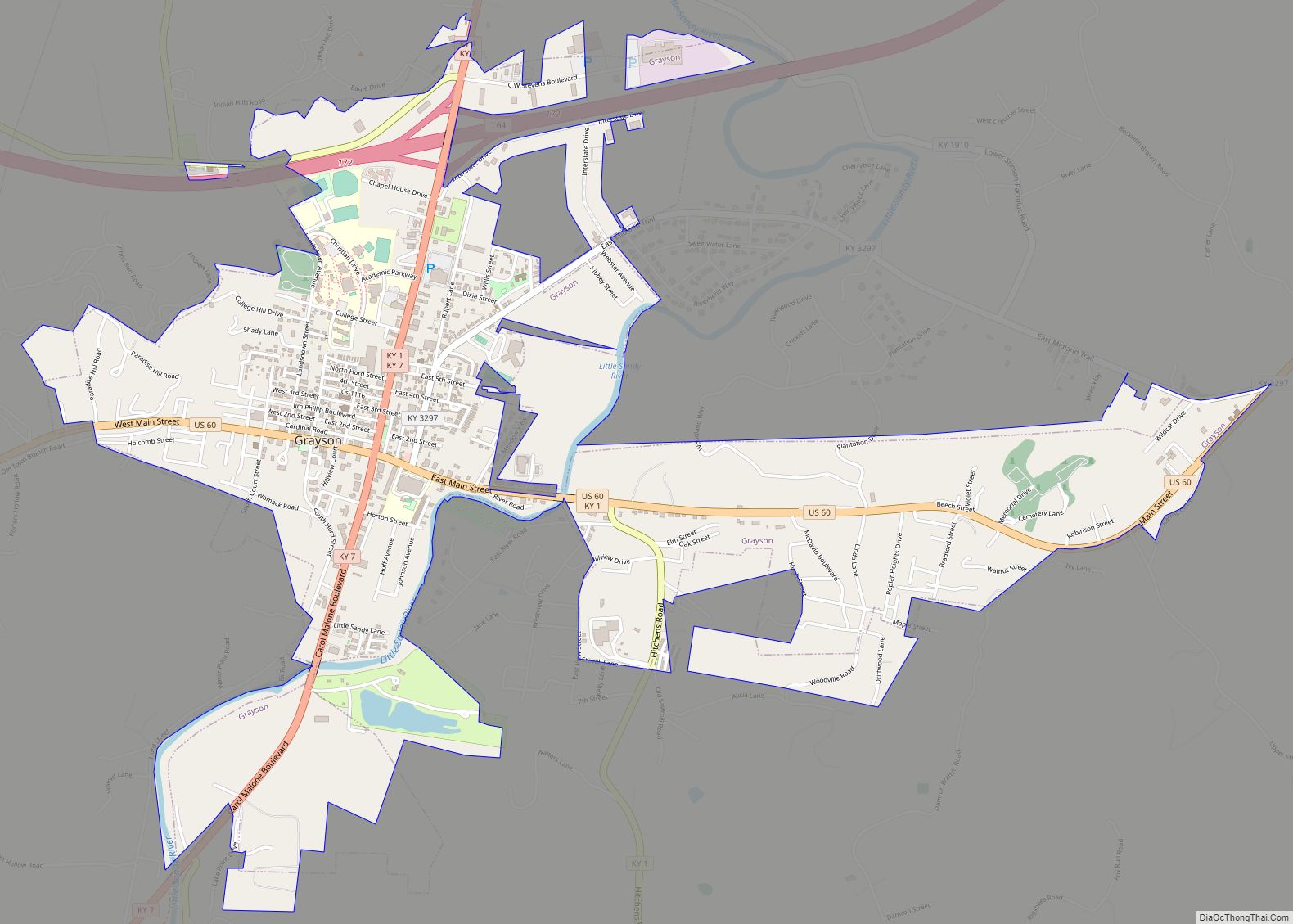
| Seat: | Grayson |
| Largest city: | Grayson |
| Total Area: | 412 sq mi (1,070 km²) |
| Land Area: | 409 sq mi (1,060 km²) |
| Total Population: | 26,627 |
| Population Density: | 65/sq mi (25/km²) |
| Time zone: | UTC−5 (Eastern) |
| Summer Time Zone (DST): | UTC−4 (EDT) |
| Website: | cartercounty.ky.gov/Pages/default.aspx |
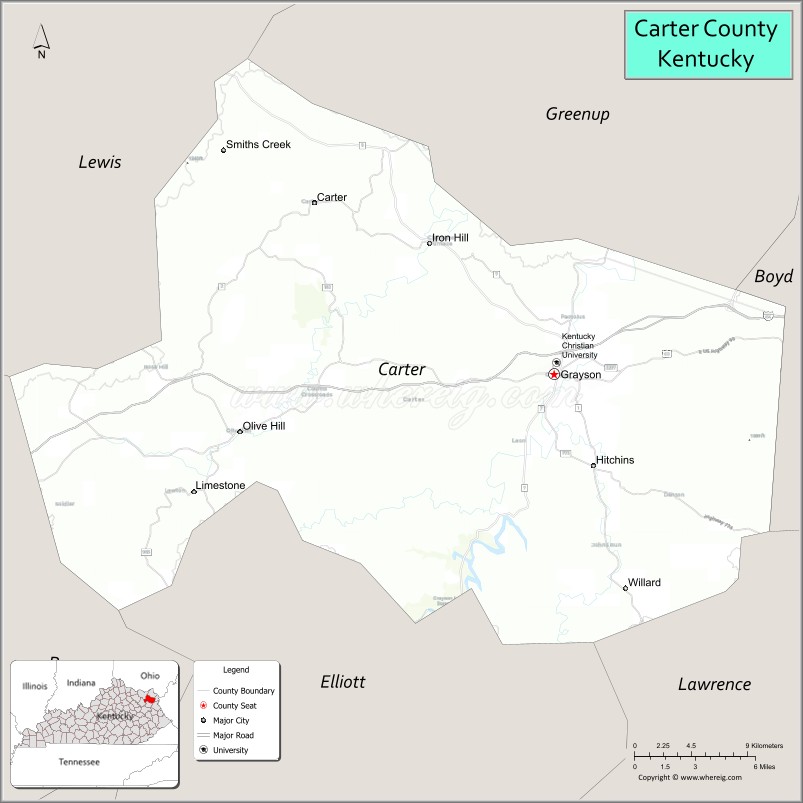
Carter County location map. Where is Carter County?
History
Carter County was formed on February 9, 1838, from portions of Greenup County and Lawrence County. It was named after Colonel William Grayson Carter, a Kentucky state Senator. The county seat is named for his uncle, Robert Grayson.
The original courthouse was rebuilt in 1907.
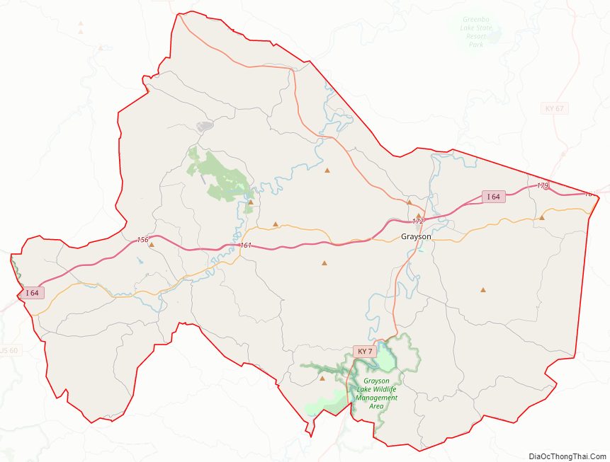
Carter County Road Map
Geography
According to the United States Census Bureau, the county has a total area of 412 square miles (1,070 km), of which 409 square miles (1,060 km) is land and 2.6 square miles (6.7 km) (0.6%) is water.
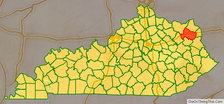
Adjacent counties
- Greenup County (northeast)
- Boyd County (east)
- Lawrence County (southeast)
- Elliott County (south)
- Rowan County (southwest)
- Lewis County (northwest)
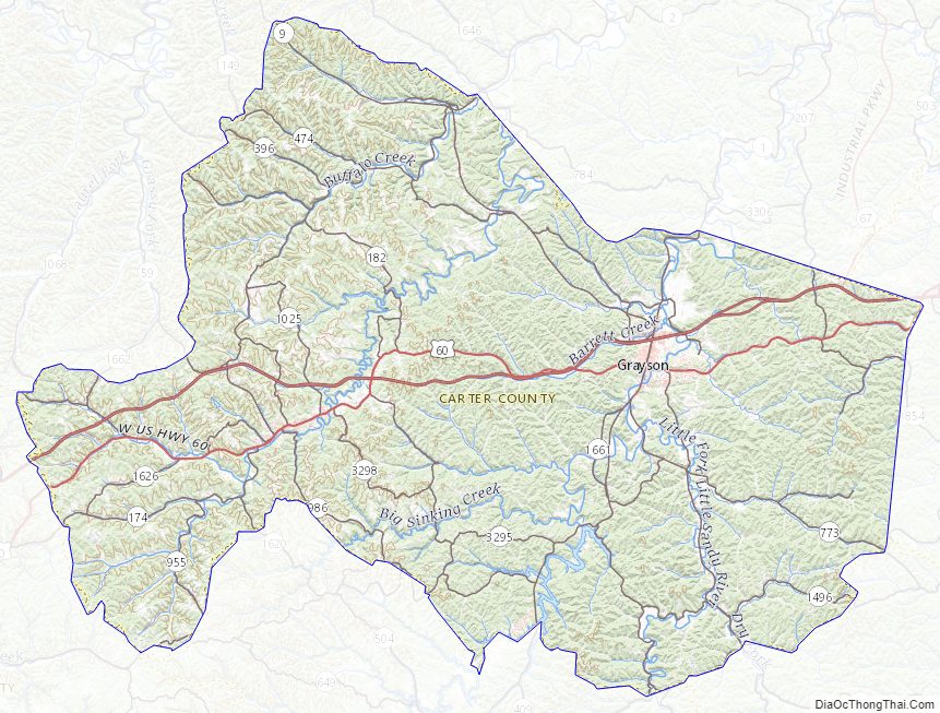
Carter County Topographic Map
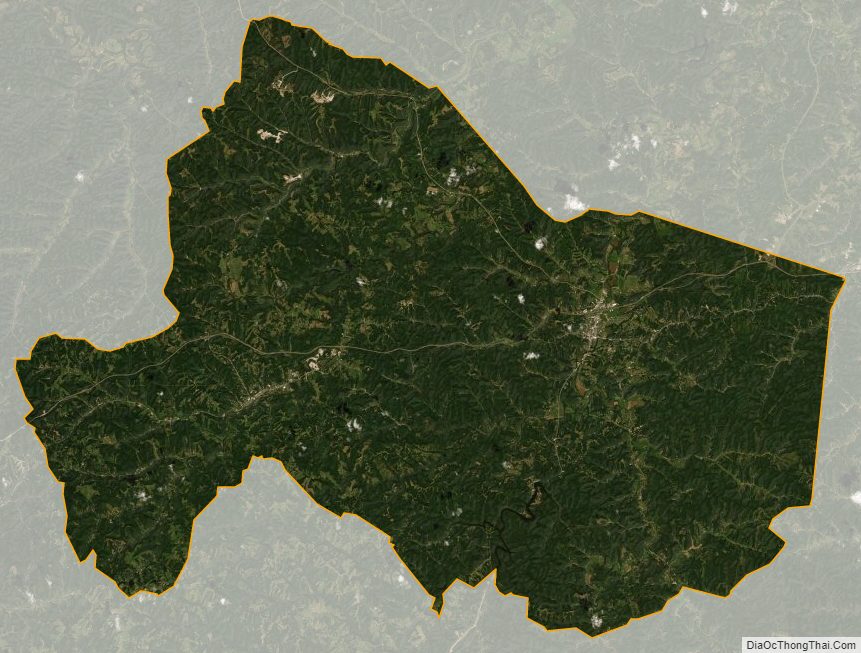
Carter County Satellite Map
Carter County Outline Map