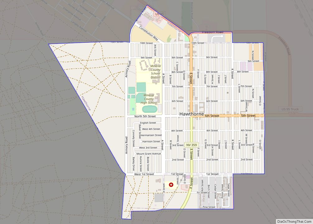
Hawthorne is a census-designated place (CDP) in Mineral County, Nevada, United States. At the 2010 census, the population was 3,269, a decrease since the 2000 census, when it was 3,311. It is the county seat of Mineral County. The nearby Hawthorne Army Depot is the primary economic base of the town.
| Name: | Hawthorne CDP |
|---|---|
| LSAD Code: | 57 |
| LSAD Description: | CDP (suffix) |
| State: | Nevada |
| County: | Mineral County |
| Founded: | 1880; 143 years ago (1880) |
| Elevation: | 4,331 ft (1,320 m) |
| Total Area: | 1.76 sq mi (4.56 km²) |
| Land Area: | 1.76 sq mi (4.56 km²) |
| Water Area: | 0.00 sq mi (0.00 km²) |
| Total Population: | 3,118 |
| Population Density: | 1,772.60/sq mi (684.39/km²) |
| ZIP code: | 89415 |
| Area code: | 775 |
| FIPS code: | 3231300 |
| GNISfeature ID: | 0848558 |
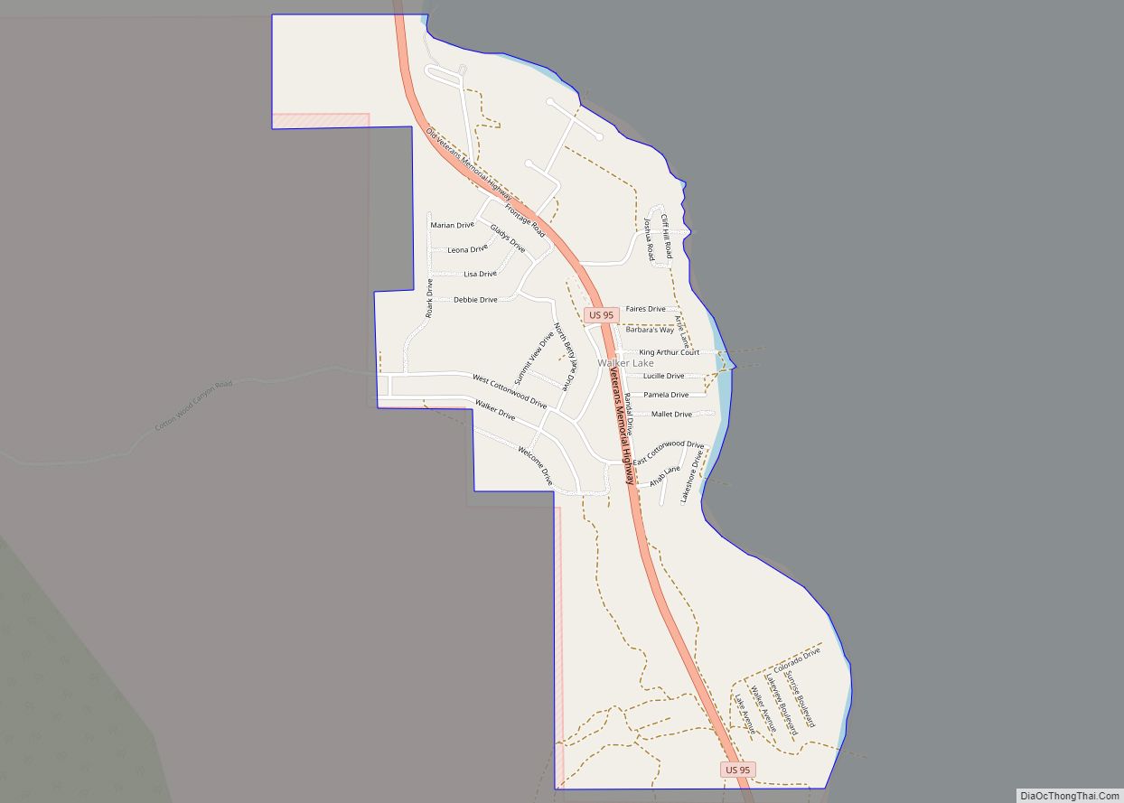
Online Interactive Map
Click on ![]() to view map in "full screen" mode.
to view map in "full screen" mode.
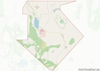
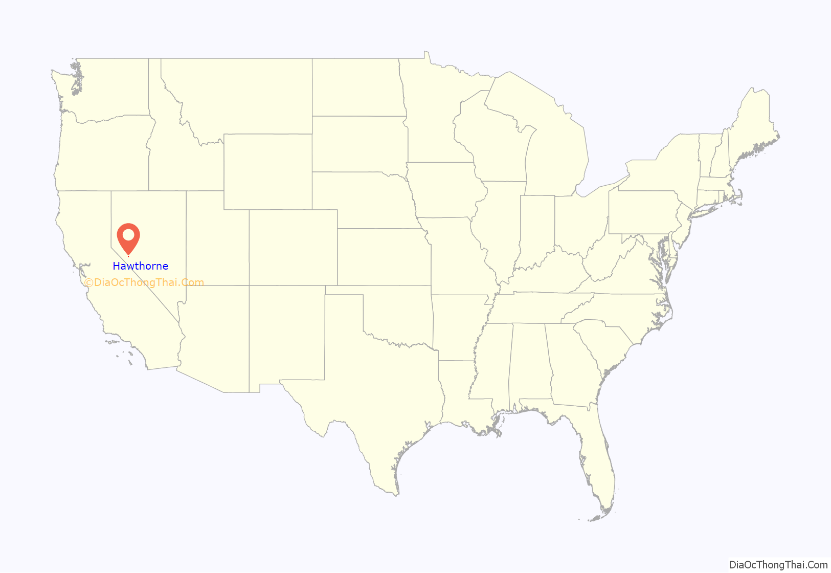
Hawthorne location map. Where is Hawthorne CDP?
History
The first permanent settlement at Hawthorne was established in 1880.
The townsite was selected in 1880 by H. M. Yerington, president of the Carson and Colorado Railroad Co. as a division and distribution site for the new railroad.
The location was adjacent to the important Knapp’s Station and Ferry Landing on the busy Esmeralda Toll Road from Wadsworth to Candelaria. Connecting roads were built to all of the surrounding mining areas.
H. M. Yerington named the new town Hawthorne after a lumberman, rancher, and law enforcement friend he knew in Carson City. The first train arrived on April 14, 1881 loaded with prospective buyers for the new town lots.
In 1883, Hawthorne took the Esmeralda County seat from declining Aurora but later lost it to booming Goldfield. In 1911, it again became a county seat, this time for the new Mineral County.
Hawthorne has been county seat of Mineral County since 1911.
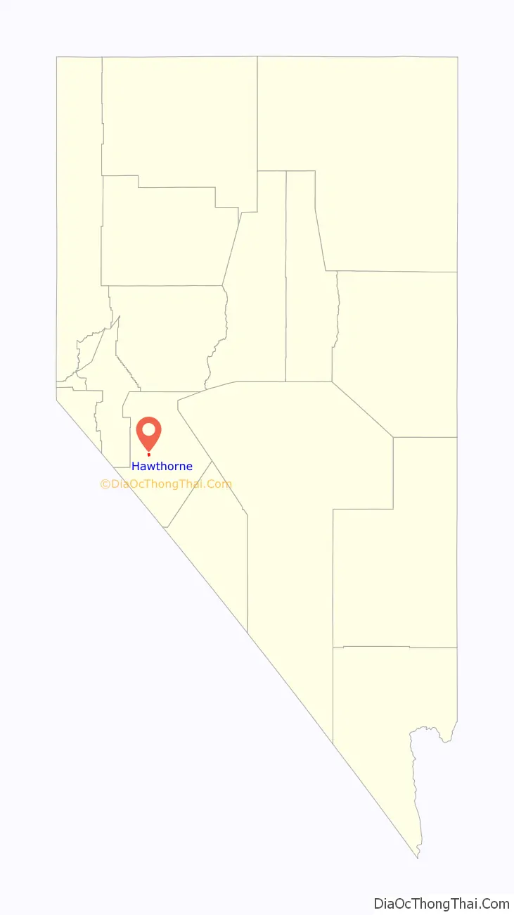
Hawthorne Road Map
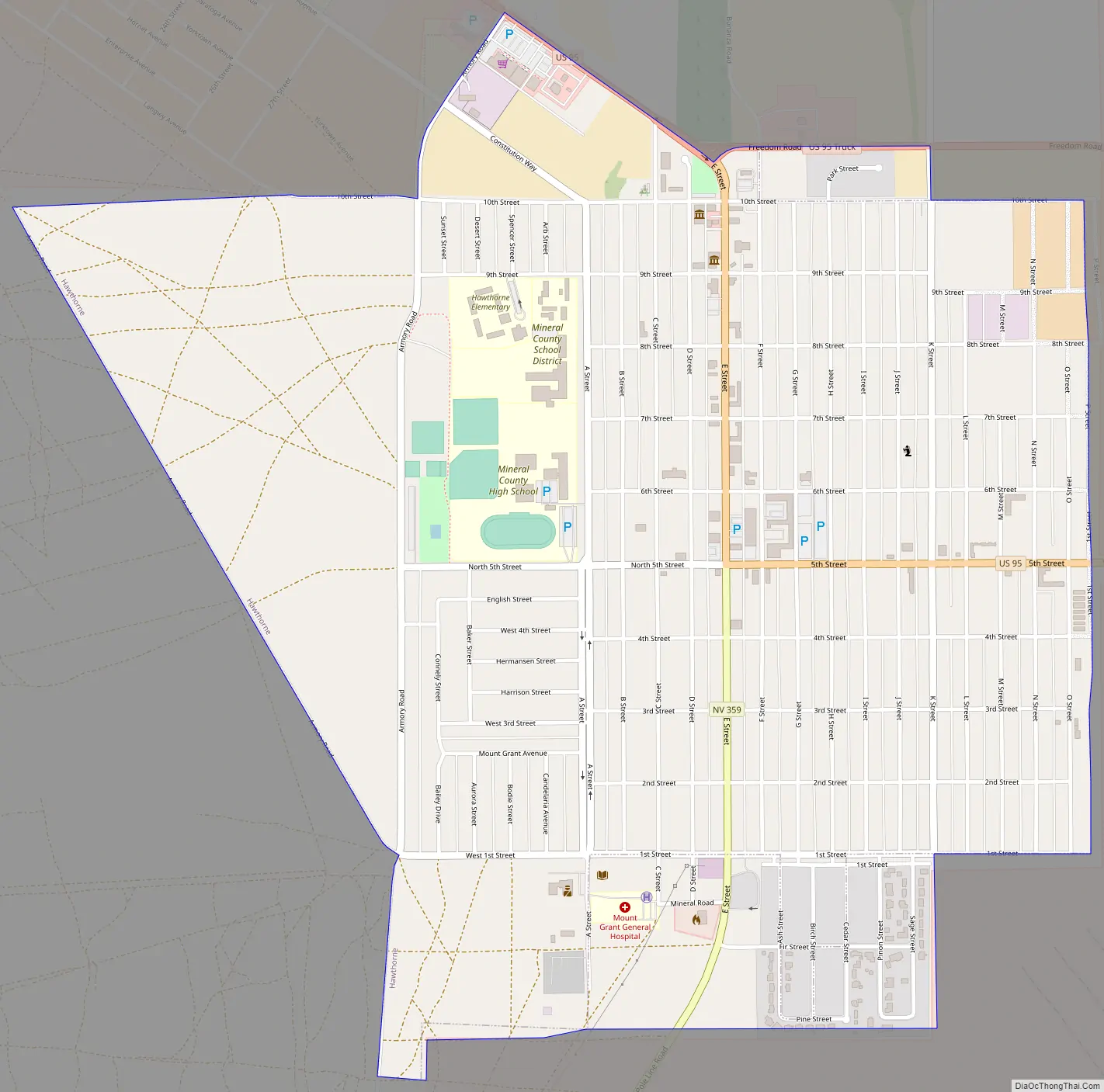
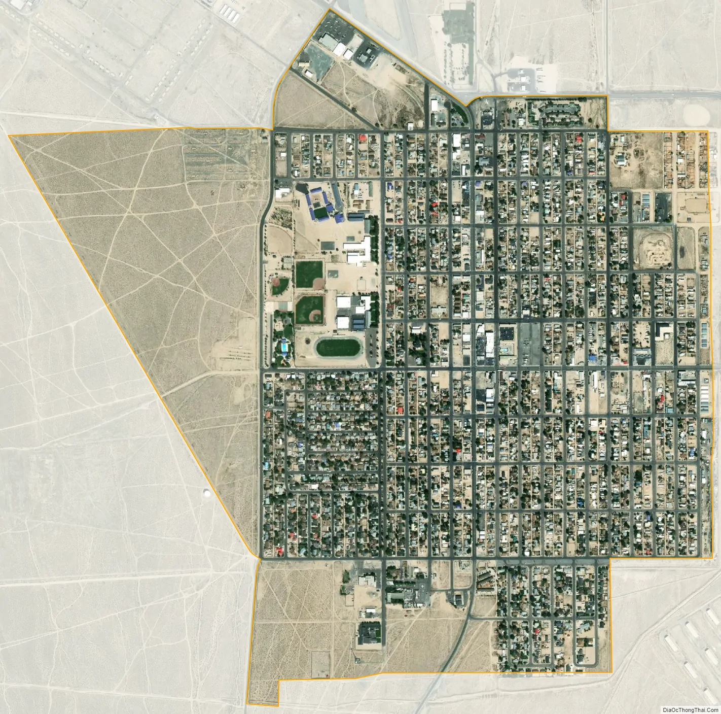
Hawthorne city Satellite Map
Geography
Hawthorne is located at 38°31′31″N 118°37′23″W / 38.52528°N 118.62306°W / 38.52528; -118.62306 (38.525198, -118.623053). According to the United States Census Bureau, the CDP has a total area of 1.5 square miles (3.9 km), all of it land. It sits near Walker Lake, the remains of Babbitt and under the peak of Mt. Grant, and its summit of 11,239 feet (3,426 m).
Climate
See also
Map of Nevada State and its subdivision: Map of other states:- Alabama
- Alaska
- Arizona
- Arkansas
- California
- Colorado
- Connecticut
- Delaware
- District of Columbia
- Florida
- Georgia
- Hawaii
- Idaho
- Illinois
- Indiana
- Iowa
- Kansas
- Kentucky
- Louisiana
- Maine
- Maryland
- Massachusetts
- Michigan
- Minnesota
- Mississippi
- Missouri
- Montana
- Nebraska
- Nevada
- New Hampshire
- New Jersey
- New Mexico
- New York
- North Carolina
- North Dakota
- Ohio
- Oklahoma
- Oregon
- Pennsylvania
- Rhode Island
- South Carolina
- South Dakota
- Tennessee
- Texas
- Utah
- Vermont
- Virginia
- Washington
- West Virginia
- Wisconsin
- Wyoming