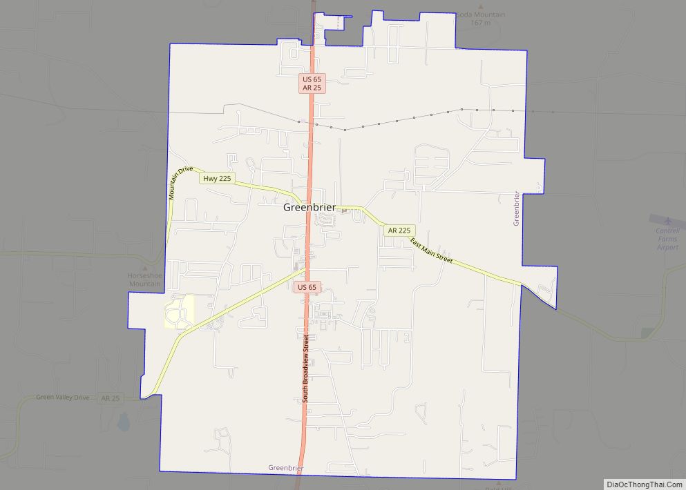
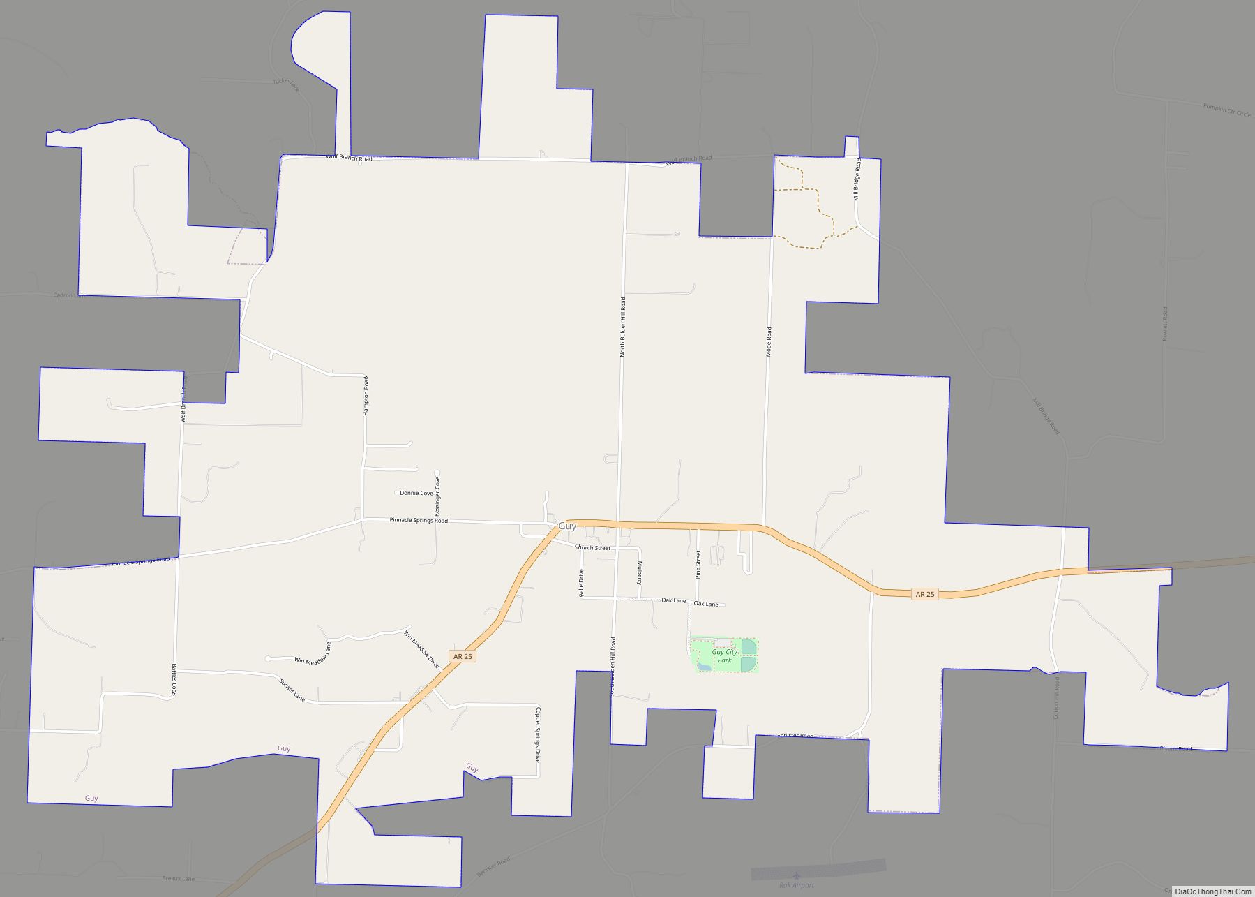
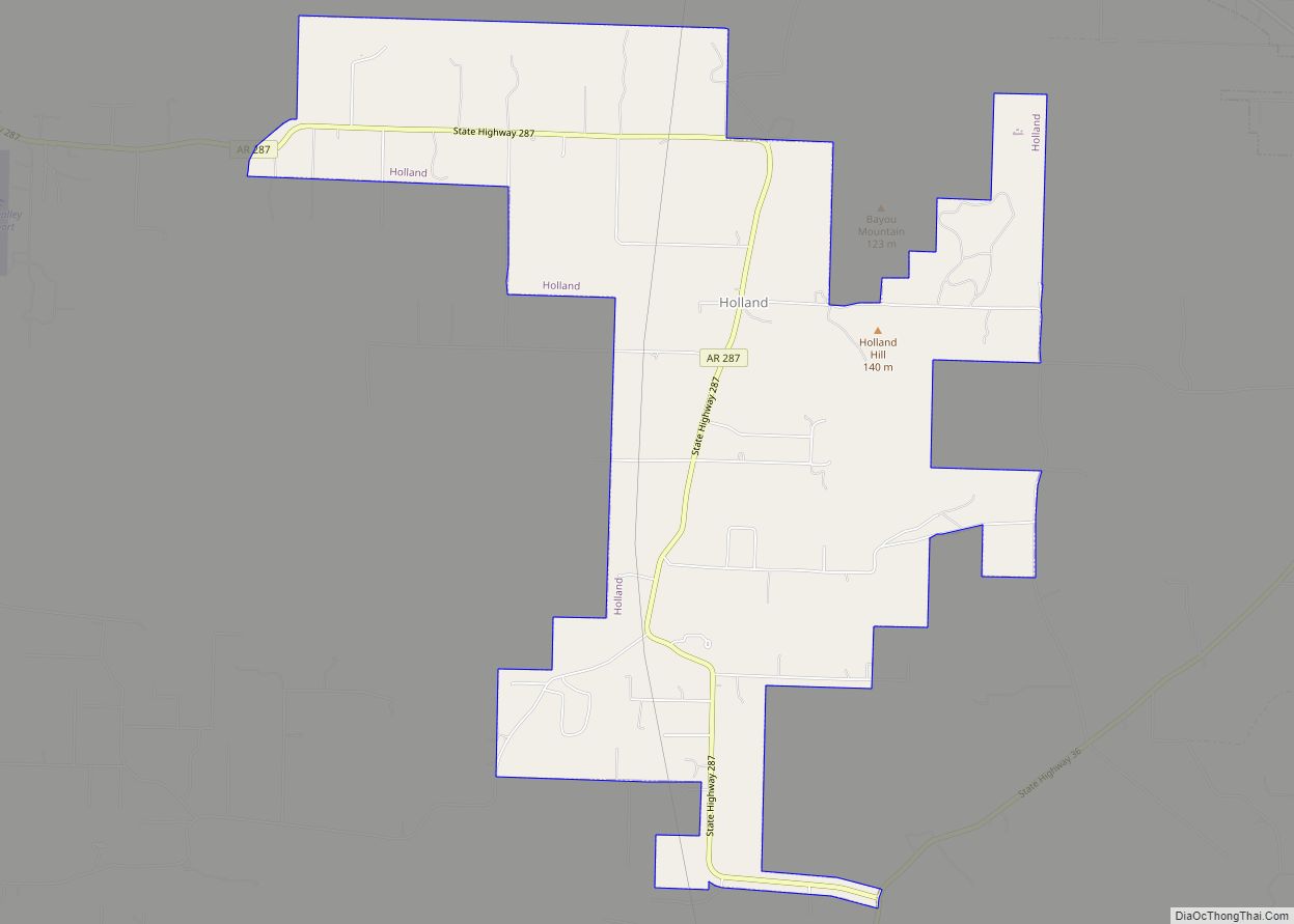
Faulkner County is located in the Central Arkansas region of the U.S. state of Arkansas. As of the 2020 census, the population was 123,498, making it the sixth most populous of Arkansas’s 75 counties. The county seat and largest city is Conway. Faulkner County was created on April 12, 1873, one of nine counties formed during Reconstruction, and is named for Sandford C. Faulkner, better known as Sandy Faulkner, a popular figure in the state at the time.
Located at the intersection of the Ozarks and Arkansas River Valley, the county was sparsely populated for much of its early years. Largely a county of rural settlements, growth came slowly following the Civil War and Reconstruction. The college known today as University of Central Arkansas was established in 1907, but population continued to grow slowly. The growth of Little Rock and the construction of Interstate 40 have made Conway and other parts of Faulkner County into bedroom communities for the state capitol. Today Faulkner County is included in the Central Arkansas metro area, with Conway as a principal city.
| Name: | Faulkner County |
|---|---|
| FIPS code: | 05-045 |
| State: | Arkansas |
| Founded: | April 12, 1873 |
| Named for: | Sandford C. Faulkner |
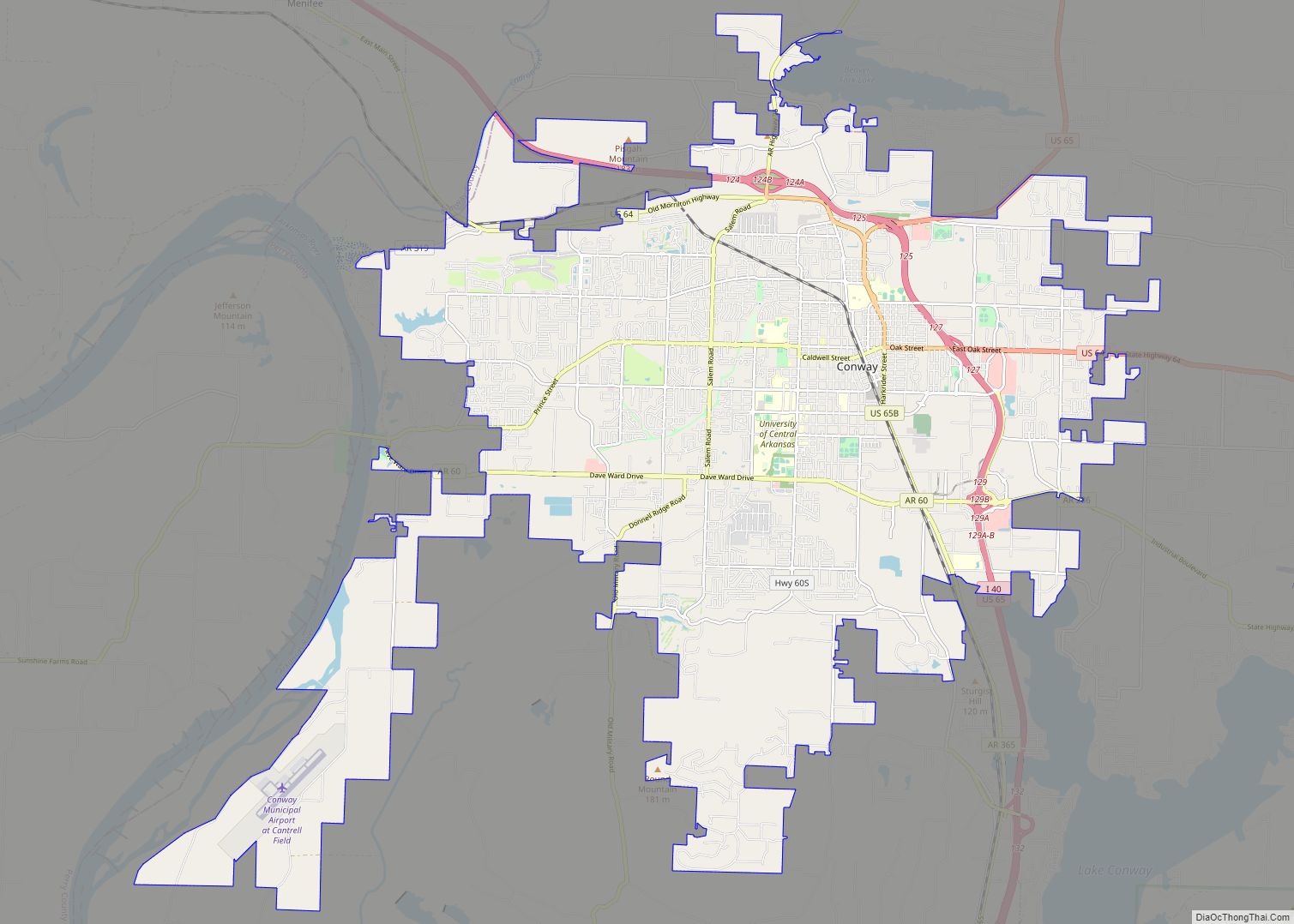
| Seat: | Conway |
| Largest city: | Conway |
| Total Area: | 664 sq mi (1,720 km²) |
| Land Area: | 648 sq mi (1,680 km²) |
| Total Population: | 123,498 |
| Population Density: | 190/sq mi (72/km²) |
| Time zone: | UTC−6 (Central) |
| Summer Time Zone (DST): | UTC−5 (CDT) |
| Website: | www.faulknercounty.org |
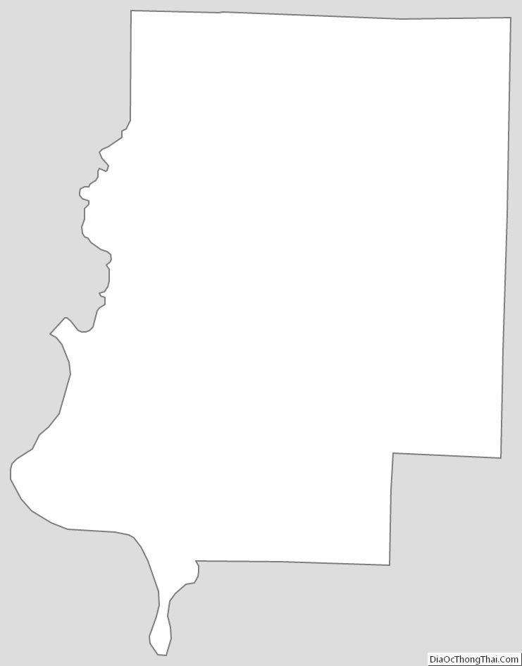
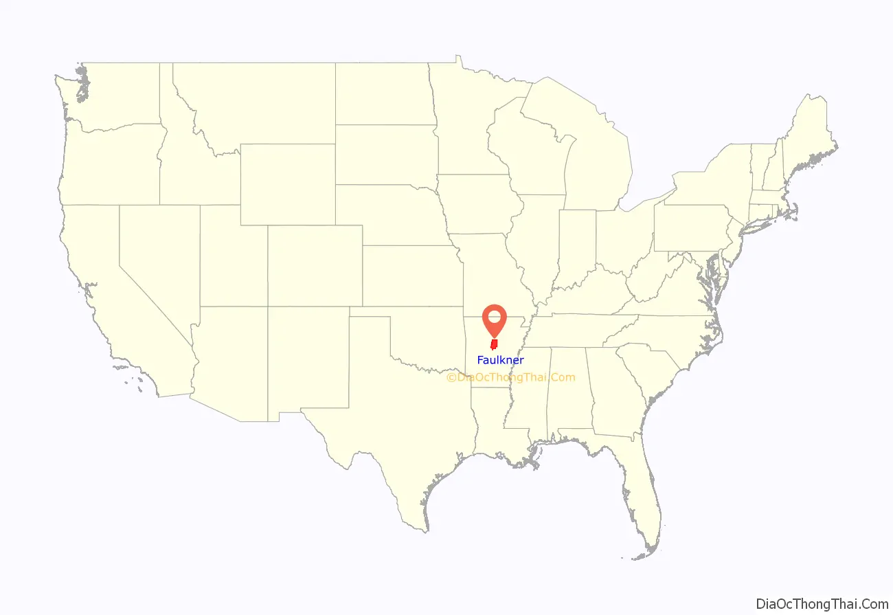
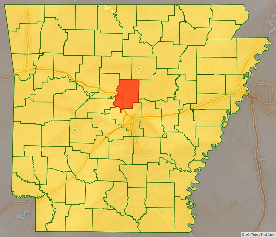
Faulkner County location map. Where is Faulkner County?
History
Eponym
Faulkner County was formed from parts of Conway and Pulaski counties on April 12, 1873, and is named after Sandford C. Faulkner, a planter, raconteur, and fiddle player known for his popular mid-19th century folk song “Arkansas Traveler”, the official historic song of the U.S. state of Arkansas since 1987.
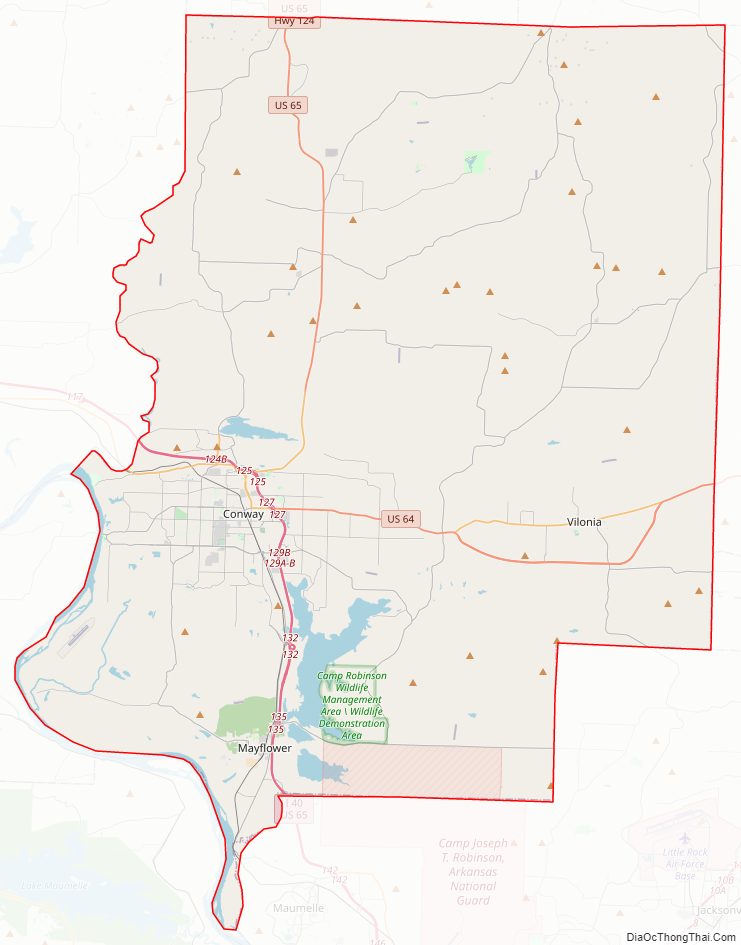
Faulkner County Road Map
Geography
According to the U.S. Census Bureau, the county has a total area of 664 square miles (1,720 km), of which 648 square miles (1,680 km) is land and 16 square miles (41 km) (2.4%) is water.
Major highways
- Interstate 40
- U.S. Highway 64
- U.S. Highway 65
- Highway 25
- Highway 60
- Highway 89
- Highway 107
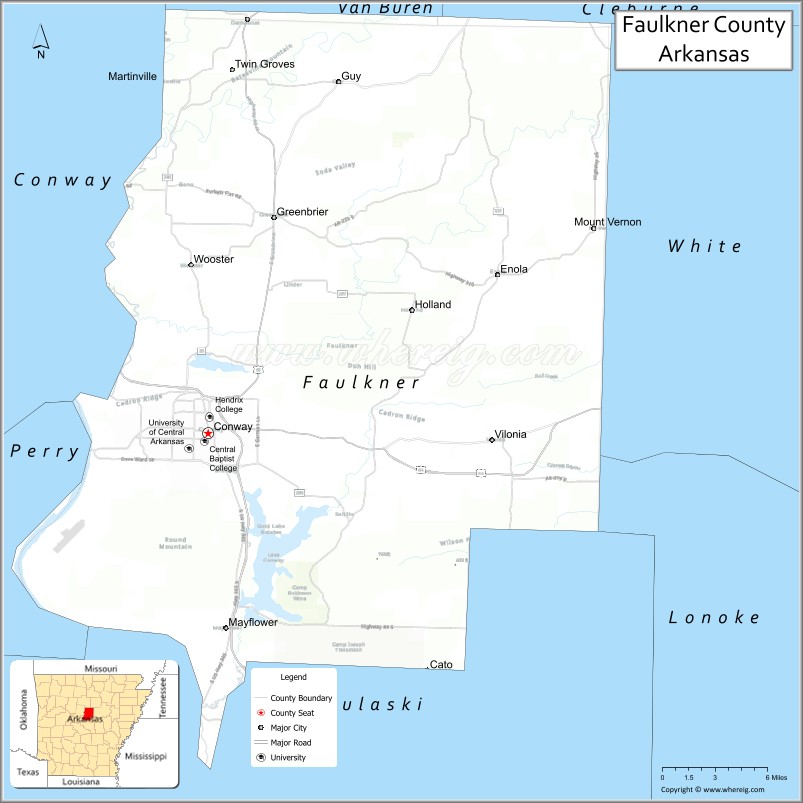
Adjacent counties
- Cleburne County (northeast)
- White County (east)
- Lonoke County (southeast)
- Pulaski County (south)
- Perry County (southwest)
- Conway County (west)
- Van Buren County (northwest)
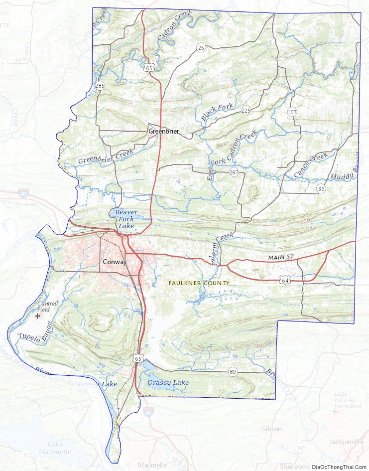
Faulkner County Topographic Map
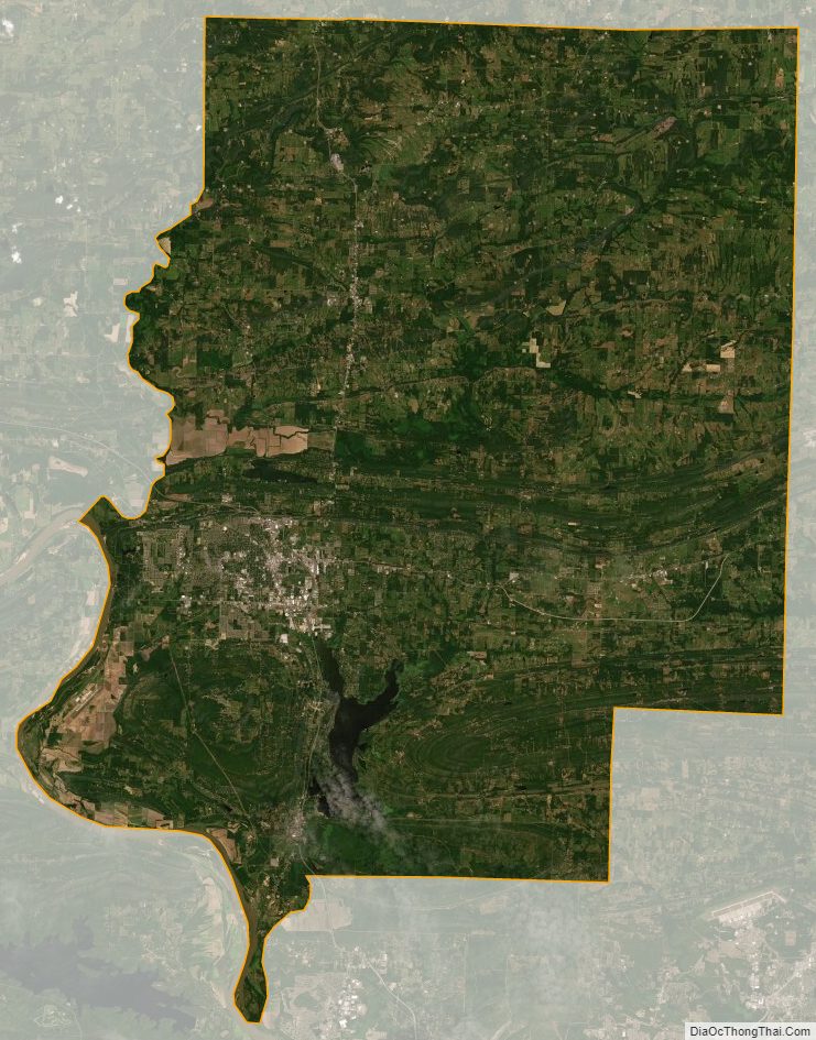
Faulkner County Satellite Map
Faulkner County Outline Map