Baxter County is a county in the U.S. state of Arkansas. As of the 2020 census, the county’s population was 41,627. The county seat is Mountain Home. It is Arkansas’s 66th county, formed on March 24, 1873, and named for Elisha Baxter, the tenth governor of Arkansas.
The Mountain Home, AR, Micropolitan Statistical Area includes all of Baxter County. It is in the northern part of the state, bordering Missouri. It is commonly referred to as the Twin Lakes Area because it is bordered by two of Arkansas’ largest lakes, Bull Shoals Lake and Norfork Lake. On its southern border is the White River, Norfork Tailwater and the Buffalo National River.
Mountain Home, a small town whose origins date back to the early 19th century, is located in north-central Arkansas on a plateau in the Ozark Mountains. The natural environment of nearby Norfork and Bull Shoals lakes and the surrounding countryside has attracted tourists from around the country for many years. Educational institutions have also played a role in the life of the community.
| Name: | Baxter County |
|---|---|
| FIPS code: | 05-005 |
| State: | Arkansas |
| Founded: | March 24, 1873 |
| Named for: | Elisha Baxter |
| Seat: | Mountain Home |
| Largest city: | Mountain Home |
| Total Area: | 586.74 sq mi (1,519.6 km²) |
| Land Area: | 554.36 sq mi (1,435.8 km²) |
| Total Population: | 41,627 |
| Population Density: | 71/sq mi (27/km²) |
| Time zone: | UTC−6 (Central) |
| Summer Time Zone (DST): | UTC−5 (CDT) |
| Website: | Baxter County government’s website |
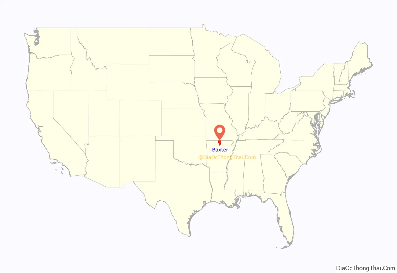
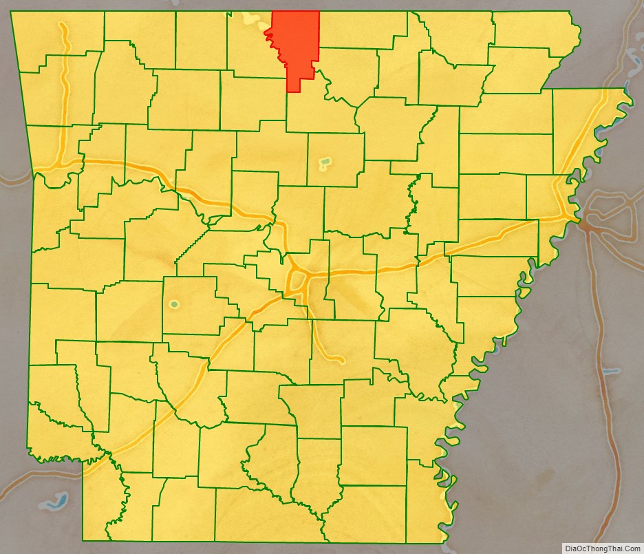
Baxter County location map. Where is Baxter County?
History
Baxter County was created by the 19th Arkansas General Assembly on March 24, 1873 from parts of Fulton, Izard, Marion, and Searcy counties. It was named for Elisha Baxter, who was governor of Arkansas at the time. The small community of Mountain Home was named temporary county seat; and was later named permanent county seat.
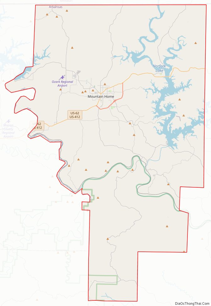
Baxter County Road Map
Geography
Baxter County is located within the Salem Plateau, a subregion of the Ozark Mountains. Land near Bull Shoals Lake, Norfork Lake, and along the White River are within the White River Hills subregion, known for steep, rocky soils, spring-fed mountain streams, and oak-hickory-pine forest. Eastern Baxter County and a small area around Mountain Home are within the Central Plateau subregion, known for comparatively flatter terrain more suited for hayfields, pastures, and housing, as well as karst.
The county has a total area of 586.74 square miles (1,519.6 km), of which 554.36 square miles (1,435.8 km) is land and 32.38 square miles (83.9 km) (5.5%) is water.
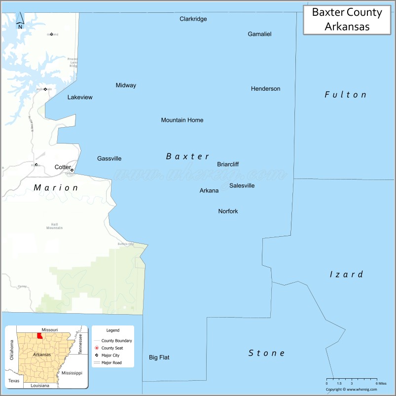
The county is located approximately 110 miles (180 km) southeast of Springfield, Missouri, 152 miles (245 km) north of Little Rock, and 246 miles (396 km) southeast of St. Louis, Missouri. Baxter County is surrounded by sparsely populated Ozark counties on all sides: Fulton County to the east, Izard County to the southeast, Stone County to the south, Searcy County to the southwest, Marion County to the west, and Ozark County, Missouri to the north.
Hydrology
Baxter County is within the White River watershed. The river has several important milestones in Baxter County: beginning along the western boundary of Baxter County, the White River is impounded to form the Bull Shoals Lake reservoir by Bull Shoals Dam, which spans the Baxter-Marion county line. South of the dam, the White River forms the western boundary of Baxter-Marion county line until Buffalo City, when the Buffalo National River empties into the White, with the White continuing across Baxter County from west to east. South of Salesville, the North Fork of White River empties into the White via the Norfork Tailwater downstream of Norfork Dam. Within the county, Barren Fork, Big Creek, Bruce Creek, Hightower Creek, Leatherwood Creek, and Moccasin Creek are important watercourses.
Protected areas
Baxter County contains a small section of the Buffalo National River near Buffalo City where the river empties into the White River. Almost all land in Baxter County south of the White River is part of the Ozark National Forest. Within this area, a subdivision of the Ozark National Forest known as the Leatherwood Wilderness is located along Highway 341 (Push Mountain Road). Another part of the Ozark National Forest is also protected in the Sylamore Wildlife Management Area (WMA). The WMA is known as a destination for hiking, fishing, and hunting wild turkey, bear, squirrel, and deer. Camping is available at Blanchard Springs Caverns, Gunner Pool, and Barkshed areas and a gun range is open to the public. The Ozark Highlands Trail passes through the Leatherwood Wilderness and Sylamore WMA.
The Bull Shoals-White River State Park is along the downstream shoreline of Bull Shoals Lake at the Bull Shoals Dam. The park contains campgrounds, a marina, and visitor center. The dam tailwater is well known for trout fishing.
Norfork Lake WMA is a series of protected walk-in hunting areas along Lake Norfork covered in hardwood forest with some pine and ranging topography. The four Baxter County units are Indian Head Unit, Chapin Point Unit, Seward Point Unit, and the Bennett’s Creek Unit. The WMA is managed for deer, turkey and small game and attracts waterfowl during migration.
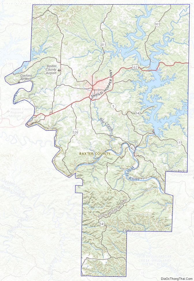
Baxter County Topographic Map
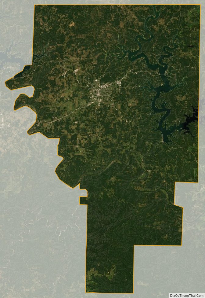
Baxter County Satellite Map
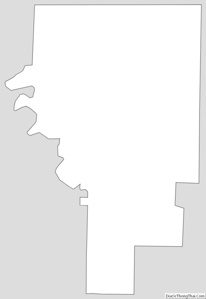
Baxter County Outline Map