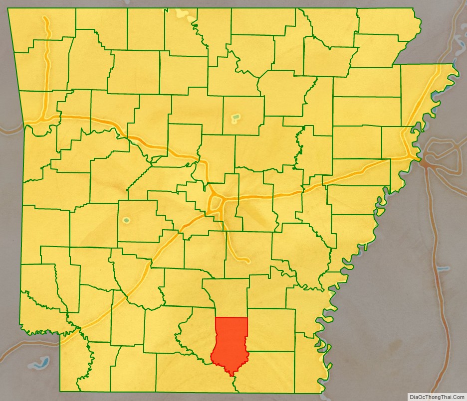
Bradley County is located in southeastern Arkansas, and is bordered by Union County to the southwest, Calhoun County to the west, Drew County to the east, Ashley County to the southeast, and Cleveland County to the north. The county is home to the Bradley County Pink Tomato Festival, which is an annual event held in June that celebrates the county’s tomato industry and features a variety of activities such as a parade, live music, food vendors, and arts and crafts exhibits. The county is next to Drew County which is home to the University of Arkansas at Monticello, a public university located in Monticello, Arkansas. As of the 2020 census, the population was 10,545. The county seat is Warren. It is Arkansas’s 43rd county, formed on December 18, 1840, and is named for Captain Hugh Bradley, who fought in the War of 1812.
Bradley County is a dry county, which means that the sale of alcoholic beverages is prohibited within the county. However, some cities within the county, such as Warren and Hermitage, may have their own laws allowing for the sale of alcohol within their city limits. Dry counties are relatively rare in the United States, and are typically found in rural areas or in states with a strong tradition of temperance.
| Name: | Bradley County |
|---|---|
| FIPS code: | 05-011 |
| State: | Arkansas |
| Founded: | December 18, 1840 |
| Named for: | Hugh Bradley |
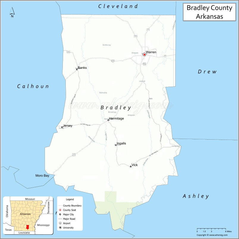
| Seat: | Warren |
| Largest city: | Warren |
| Total Area: | 653 sq mi (1,690 km²) |
| Land Area: | 649 sq mi (1,680 km²) |
| Total Population: | 10,545 |
| Population Density: | 16/sq mi (6.2/km²) |
| Time zone: | UTC−6 (Central) |
| Summer Time Zone (DST): | UTC−5 (CDT) |
| Website: | www.bradleycountyarkansas.com |
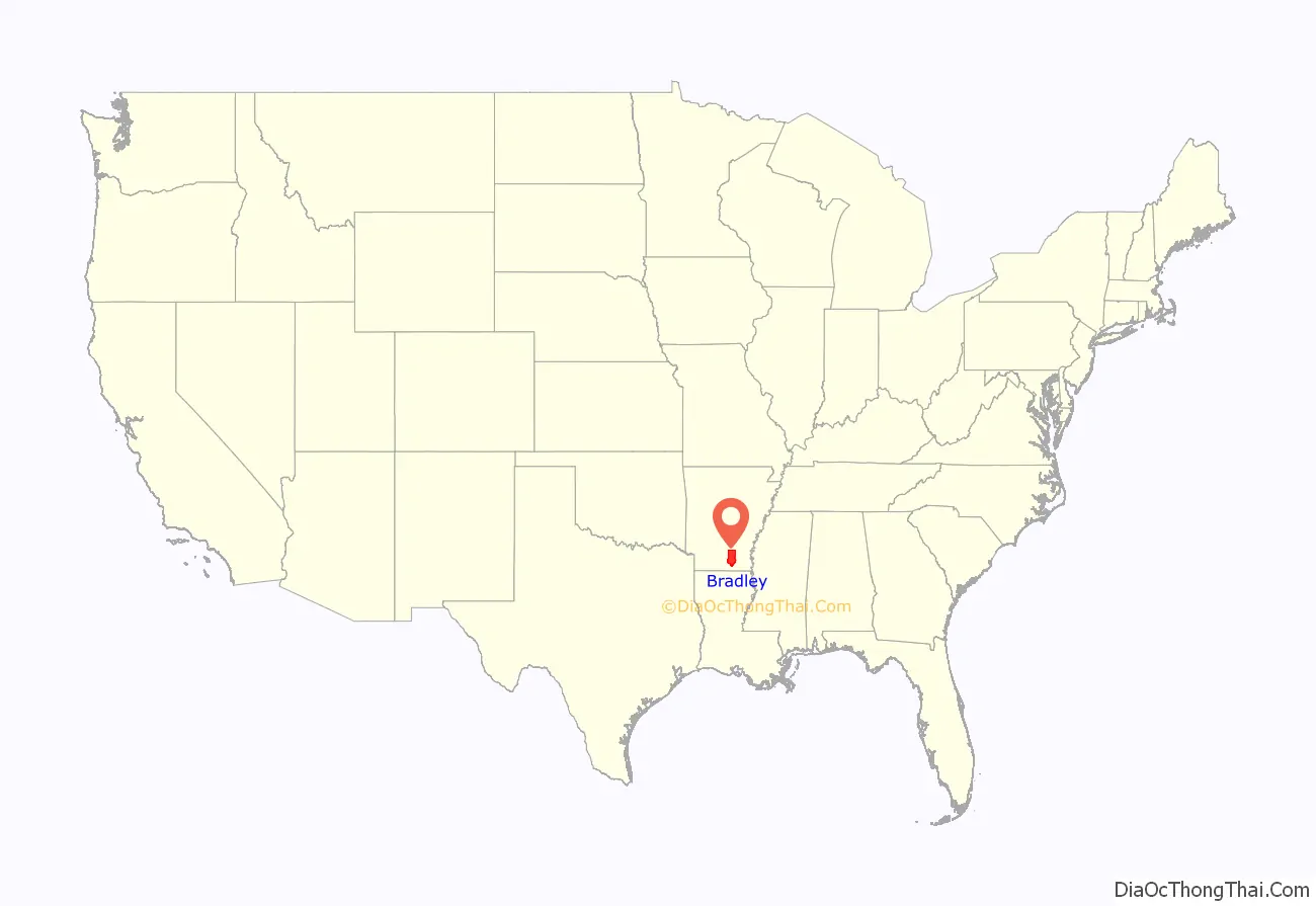
Bradley County location map. Where is Bradley County?
History
Indigenous peoples of various cultures had lived along the rivers of Arkansas for thousands of years and created complex societies. Mississippian culture peoples built massive earthwork mounds along the Ouachita River beginning about 1000 CE.
Caddo Tribe
The Felsenthal refuge at the south end of Bradley County contains over 200 native American archaeological sites, primarily from the Caddo tribe that lived in the area as long as 5,000 years ago. These sites include the remains of seasonal fishing camps, ceremonial plazas, temple mounds and large villages containing as many as 200 structures.
French and Spanish control
After Hernando de Soto’s exploration of the Mississippi Valley during the 1540s, there is little evidence of any European activity in the Ouachita River valley until the latter 17th century.
The map of the “Route de Thionville” across Bradley County, Arkansas, the Ouachita River, the Saline river, and Bayou Bartholomew is show at Spanish Texas. See /wiki/File:Adaie.jpg
Mississippi Company
Louis XIV’s long reign and wars had nearly bankrupted the French monarchy. Rather than reduce spending, the Regency of Louis XV of France endorsed the monetary theories of John Law a Scottish financier. In 1716, Law was given a charter for the Banque Royale under which the national debt was assigned to the bank in return for extraordinary privileges. The key to the Banque Royale agreement was that the national debt would be paid from revenues derived from opening the Mississippi Valley. The Bank was tied to other ventures of Law—the Company of the West and the Companies of the Indies. All were known as the Mississippi Company. The Mississippi Company had a monopoly on trade and mineral wealth. The Company boomed on paper. Law was given the title Duc d’Arkansas. Bernard de la Harpe and his party left New Orleans in 1719 to explore the Red River. In 1721, he explored the Arkansas River. At the Yazoo settlements in Mississippi he was joined by Jean Benjamin who became the scientist for the expedition.
In 1718, there were only 700 people in Louisiana. The Mississippi Company arranged ships to move hundred (800) people landed in Louisiana on one day in 1718, doubling the population.
John Law encouraged Germans, particularly Germans of the Alsatian region who had recently fallen under French rule, and the Swiss to emigrate.
Alsace was transformed into a mosaic of Catholic and Protestant territories. Alsace was sold to France within the greater context of the Thirty Years’ War (1618–1648). Beset by enemies and to gain a free hand in Hungary, the Habsburgs sold their Sundgau territory (mostly in Upper Alsace) to France in 1646, which had occupied it, for the sum of 1.2 million Thalers.
Prisoners were set free in Paris in September 1719 and later, under the condition that they marry prostitutes and go with them to Louisiana. The newly married couples were chained together and taken to the port of embarkation. After complaints from the Mississippi Company and the concessioners about this class of French immigrants, in May, 1720, the French government prohibited such deportations. But, there was third shipment in 1721.
The Jesuit Charlevoix went from Canada to Louisiana. His letter said “these 9,000 Germans, who were raised in the Palatinate (Alsace part of France) were in Arkansas. The Germans left Arkansas en masse. They went to New Orleans and demanded passage to Europe. The Mississippi Company gave the Germans rich lands on the right bank of the Mississippi River about 25 miles above New Orleans. The area is now known as ‘the German Coast’.”
Estonia
Sweden lost Swedish Livonia, Swedish Estonia and Ingria to Russia almost 100 years later, by the Capitulation of Estonia and Livonia in 1710 and the Treaty of Nystad in 1721. Charles Fred. D’Arensbourg emigrated to Louisiana in 1721 with thirty officers. They would rather move to Louisiana, instead of living as Russians.
French
European interest in the region then came in three distinct waves. The French hunters, trappers, and traders appeared first and operated along the Ouachita River valley until the Natchez revolt of 1729, which frightened away any developers for a while. Next, in the 1740s and 1750s, French settlers meandered north from the Pointe Coupee Post in south French Louisiana and named many of bayous. These settlers returned south to Pointe Coupee before the Spaniards took possession of Louisiana in the late 1760s. The third wave of European settlers were actually descendants of the second wave, mostly true Louisiana Creoles born near the Point Coupee and Opelousas Posts. Additionally, a few Canadians came down the river from the Arkansas Post, and a few native French traders also operated along the river in the 1770s.
Prior to 1782, with the exception of occasional failed colonization schemes, the Europeans ignored the vast Ouachita Valley, which extended from the area around Hot Springs, Arkansas southward towards the Mississippi River in Louisiana. This changed with the 1779–1782 war between England and Spain. After their defeat at the Battle of Baton Rouge in 1779, the English yielded control of Natchez to the Spaniards, and this led to several years of fighting as the English settlers resisted Spanish rule over them. After the ultimate English defeat, many settlers fled to the Ouachita Valley region, creating the threat of English/American rebel activity in the Ouachita Valley region. This prompted the Spanish governor, Don Bernardo, the Comte de Galvez, to establish a strong buffer zone between the independent American states and the Spanish province of Louisiana. In 1781 Galvez created the “Poste d’Ouachita” and named Jean-Baptist Filhiol (also known as Don Juan Filhiol) as the commandant. Filhiol served in this capacity between 1782 and 1804, and through his service helped to keep a firm Spanish grip on activities in the region.
Filhiol, his new wife, and a few others arrived in the Ouachita country in April 1782. He traveled up the river, past present-day Union Parish, to the old trading post called “Ecore a Fabri” (now Camden). For various reasons, after a few years Filhiol decided not to build his headquarters there and took his group back down river to the “Prairie des Canots“.
Many Louisiana Creole people arrived in Louisiana following the Slave Uprising led by Toussaint Breda (later called L’Overture) in 1791 in Ste. Dominique, later called Haiti.
In 1801, Spanish Governor Don Juan Manuel de Salcedo took over for Governor Calvo, and the right to deposit goods from the United States was fully restored. Napoleon Bonaparte returned Louisiana to French control from Spain in 1800, under the Treaty of San Ildefonso (Louisiana had been a Spanish colony since 1762.) However, the treaty was kept secret, and Louisiana remained under Spanish control until a transfer of power to France on November 30, 1803, just three weeks before the cession to the United States.
James Monroe and Robert R. Livingston traveled to Paris to negotiate the purchase in 1802. Their interest was only in the port and its environs; they did not anticipate the much larger transfer of territory that would follow.
The Louisiana Purchase was the acquisition by the United States of America of 828,800 square miles (2,147,000 km) of France’s claim to the territory of Louisiana in 1803.
Name origins
- L’Aigles Creek, Aigle “Eagle Creek”, Eagle Lake.
- Bogalusa. A place on the Saline River near the Ouachita River (a different place with the same name is Bogalusa, Louisiana).
- Charivari Creek, south of Hilo (a French folk custom in which the community gave a noisy, discordant mock serenade, also pounding on pots and pans, at the home of a person marrying for the second time.)
- Felsenthal a Germanic word meaning “hills and valley” or “rocky valley.”
- Moreau Bayou de Moreau (or Moro Creek, Moro Bay) Moreau is a French surname.
- Pereogeethe Lake. Pereo (Latin: Disappearance, death, loss.) Geethe (Estonian: female name)
Early American period
During the period 1837–1861, settlers arrived from Mississippi, Alabama, Tennessee, and Georgia. Prior to 1860, to reach the available farmland of northwestern Louisiana and southwestern Arkansas, settlers from the Gulf Coast states most often crossed the Mississippi River at Natchez, then came up the Ouachita River.
1824-1940
During the war of 1812, Captain Hugh Bradley had frequent conversations with Spaniards who had explored the Red River country. The Spaniards told of the richness and wildness of that area.
About 1817, Captain Hugh Bradley, Ike Pennington, James Turner, Charles H. Ceay, and James Beard with their families moved using keelboats on the Cumberland River. They went west of Prairie D’Ane along the Red River near Shreveport, Louisiana.
But the floods of the Red River caused diseases and fevers to the point of discouraging the inhabitants.
Around the year 1824, Ike Pennington started a settlement two miles north of where Warren now stands.
Captain Hugh Bradley moved to what was then Clark County in 1825. By 1826 they had all settled permanently near Pennington and had begun their permanent residences.
In early years, there was settlement known as the Saline Settlement and as the Pennington Settlement. Later it was named Cabeens. Postal service in the area was first established in 1832 at Cabeens, which may have been named after J.T. Cabeen, an early surveyor.
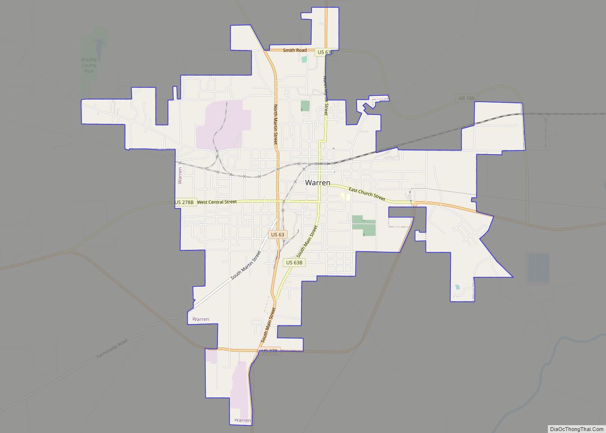
Dr. John Thomas Cabeen served as postmaster from 1832 until 1843. John Harvie Marks donated thirty acres, and John Splawn donated ten acres of land for the town site. The first circuit court met on April 26, 1841, at Hugh Bradley’s house. The name of Cabeens was changed to Warren in 1843. In 1850, the town of Warren was incorporated.
In 1840, a new county was created out of Union County, and named for Hugh Bradley.
Some settlers from Alabama, Georgia, and Tennessee arrived in the 1840s and 1850s.
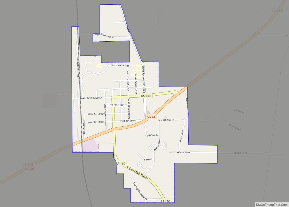
Around 1849, Wiley and Louisa Powell moved to Bradley County, taking the title to the land that is now Hermitage. The following year. Louisa’s parents, James and Susan Thompson, joined the Powells that year, as did Robert Pulley (who was pastor of Holly Springs Baptist Church) and the Jarrett family. Jefferson Singer, who had lived in Bradley County since 1840, acquired the Powell Farm at a later date. A post office for Hermitage was established in 1854. The name of the town was to honor President Andrew Jackson, whose home in Nashville, Tennessee was called The Hermitage.
The Bradley Lumber Company began logging the virgin hardwoods before 1901. In 1901, the Warren, Johnsville, and Saline River (WJ & SR) railroads began operations. It was owned by the Bradley Lumber Company. The railroad operated 15 miles of rails. It connected Warren with Hermitage and there was a connection with the Rock Island. There was a connection with the St. Louis, Iron Mountain & Southern Railway.
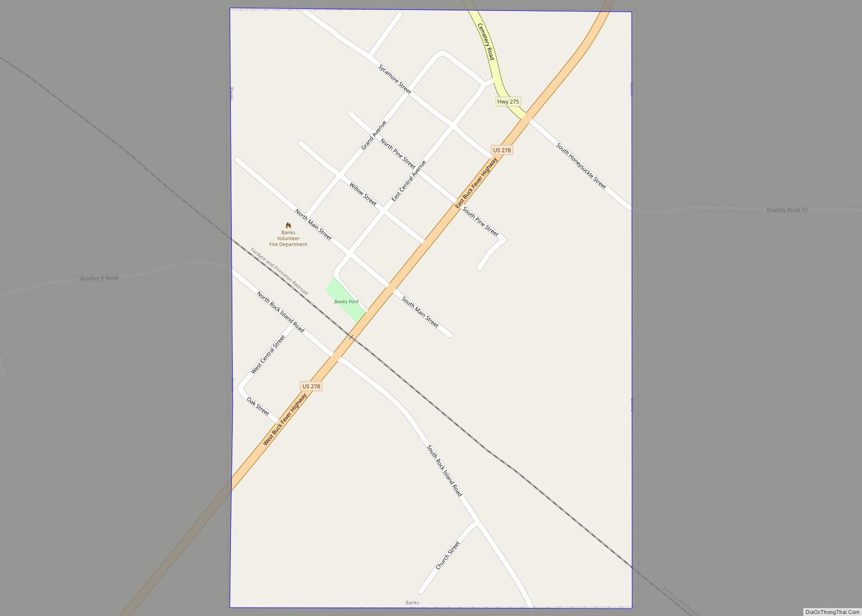
The Warren, Johnsville, and Saline River (WJ & SR) railroads brought the logs to the Warren plant. Finished products were shipped to Rock Island and the St. Louis, Iron Mountain & Southern Railway. In 1920, it was renamed the Warren & Saline River Railroad (W&SRR). The Warren & Ouachita Valley Railway was jointly owned by the Arkansas Lumber Company and the Southern Lumber Company. It began operations around 1901 connecting Banks with Warren.
Parts of former railroads of the lumber companies were changed to company roads for trucking logging to mills in Warren. Those company roads were straight, level, and with long radius curves because the railroads were built straight, level, and with long radius curves. Many company roads because county roads. Temporary spur rail lines were built to remove some of the virgin timber. The rails and crossties were repeatedly reused. There was earthwork cut (earthworks) for the spur rail lines remain.
The Bradley Lumber Company at Wheeler and Martin street employed 1,100 workers in year 1941. That company was only of the largest purchasers of hardwood in the south. A leading product was unassembled furniture which was crated and shipped to eastern assembly plants. There was a flooring plant and a hickory products department. The company had a village of 4 and 5 rooms houses for its employees.
A Southern Lumber Company mill was at the west end of Pine Street. That plant employed about 400 people to make oak and pine flooring. The company also owned a village for its employees.
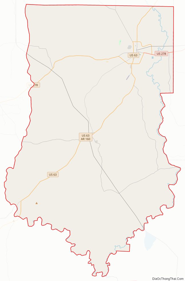
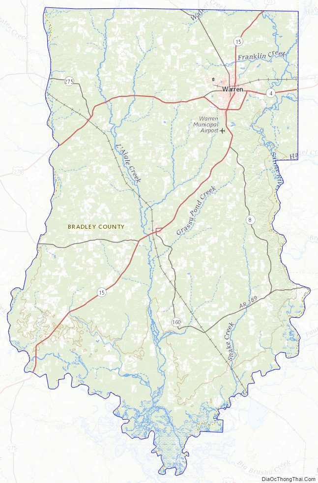
Bradley County Road Map
Geography
According to the U.S. Census Bureau, the county has a total area of 653 square miles (1,690 km), of which 649 square miles (1,680 km) is land and 3.7 square miles (9.6 km) (0.6%) is water.
The Mississippi Embayment extends to the Saline River valley along the east and southeast edge of Bradley County. The Ouachita River runs along the southwest edge of the county. The Saline River (Ouachita River) flows along most of the east edge of the county. The L’Aigle Creek (Saline River of the Ouachita River) drains most of the area in the county.
Topographic map
A Topographic map of Bradley County is at https://en-us.topographic-map.com/maps/ettn/Bradley-County/
The lowest point in Arkansas is 55 feet above sea level, at the Ouachita River on the border with Louisiana.
Major highways
- Future Interstate 69
- U.S. Highway 63
- U.S. Highway 278
- Highway 8
- Highway 160
Adjacent counties
- Cleveland County (north)
- Drew County (east)
- Ashley County (southeast)
- Union County (southwest)
- Calhoun County (west)
National protected area
- Felsenthal National Wildlife Refuge (part)
Bradley County Topographic Map
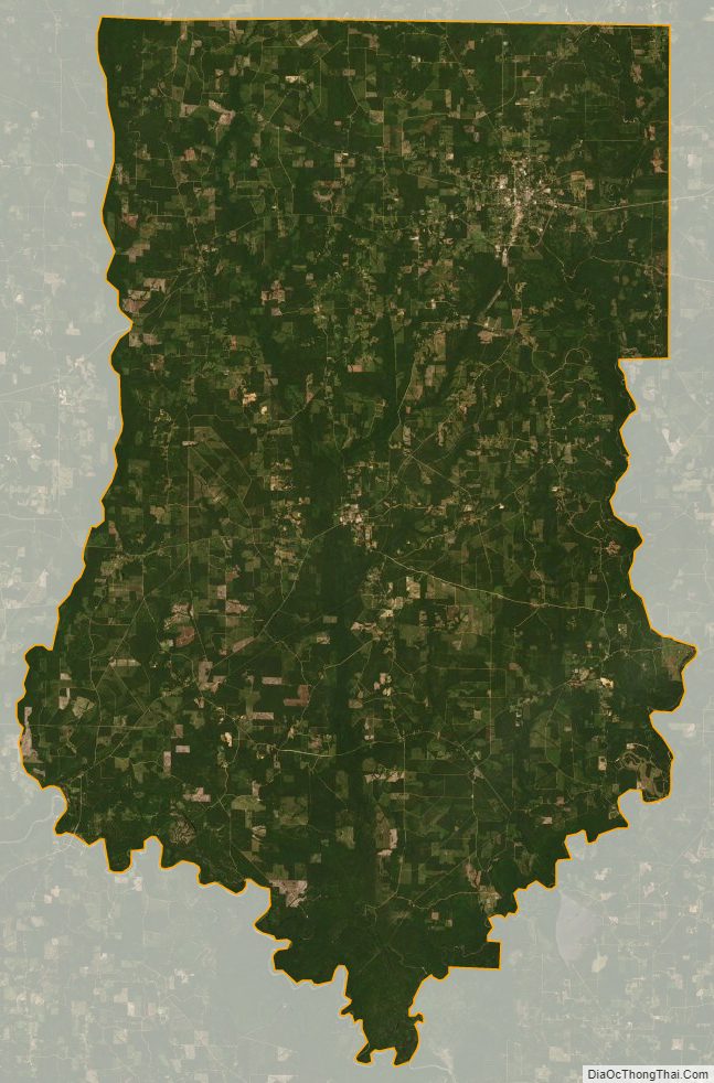
Bradley County Satellite Map
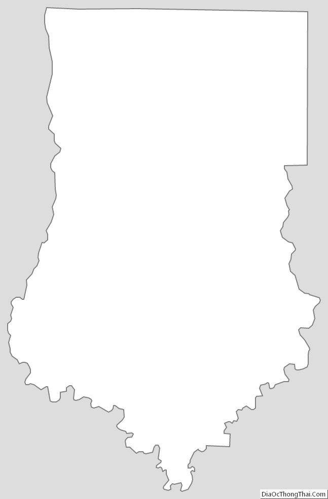
Bradley County Outline Map