Arkansas County is a county located in the U.S. state of Arkansas. As of the 2020 census, the population was 17,149. Located in the Arkansas Delta, the county has two county seats, DeWitt and Stuttgart.
The first of the state’s 75 present-day counties to be created, Arkansas County was formed on December 13, 1813, when this area was part of the Missouri Territory. The county was named after the Arkansas River (itself named for the Arkansas tribe), as was the subsequent Arkansas Territory. This was later split off from Missouri Territory and eventually admitted to the union as a state. The riverfront areas in the Arkansas Delta were developed for cotton plantations, based on the use of enslaved African Americans. Cotton was the major commodity crop before and after the Civil War. Since then, the county lies within the largest rice-growing region in the United States.
Arkansas County is one of seven present-day counties in the United States that have the same name as the state in which they are located.
| Name: | Arkansas County |
|---|---|
| FIPS code: | 05-001 |
| State: | Arkansas |
| Founded: | December 13, 1813 |
| Named for: | Arkansas River |
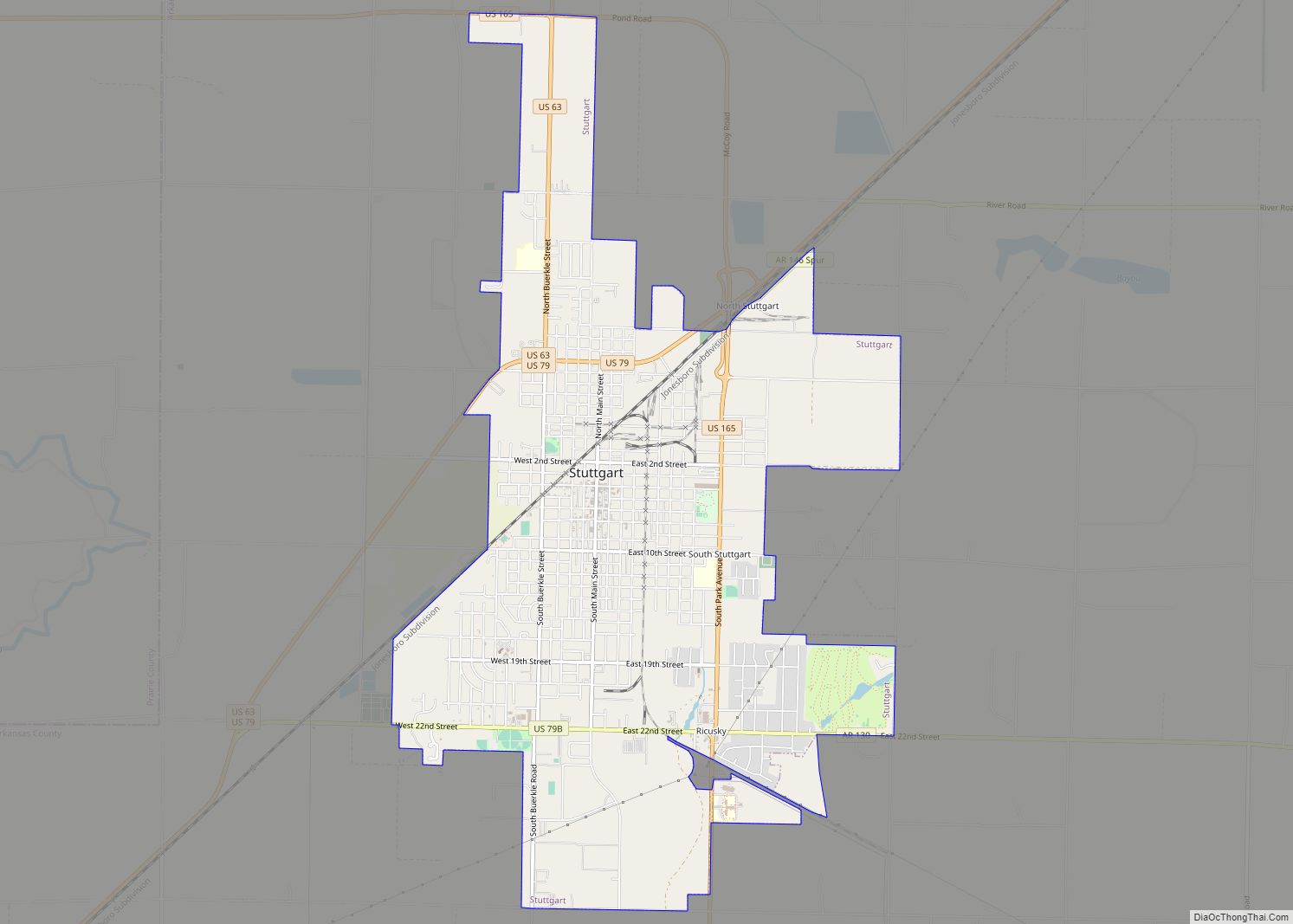
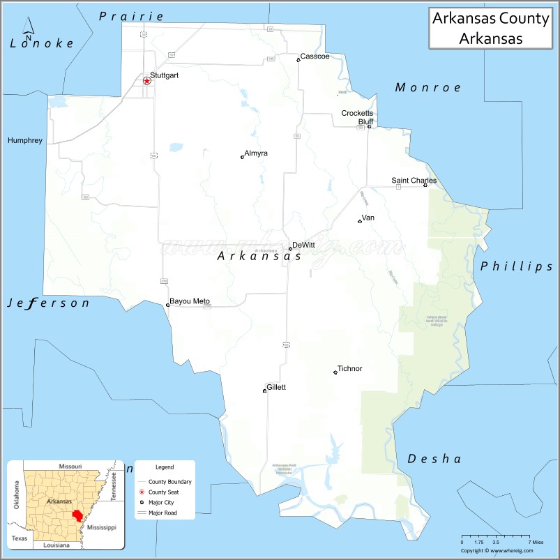
| Seat: | Stuttgart (north district); De Witt (south district) |
| Largest city: | Stuttgart |
| Total Area: | 1,033.79 sq mi (2,677.5 km²) |
| Land Area: | 988.49 sq mi (2,560.2 km²) |
| Total Population: | 17,149 |
| Population Density: | 17/sq mi (6.4/km²) |
| Time zone: | UTC−6 (Central) |
| Summer Time Zone (DST): | UTC−5 (CDT) |
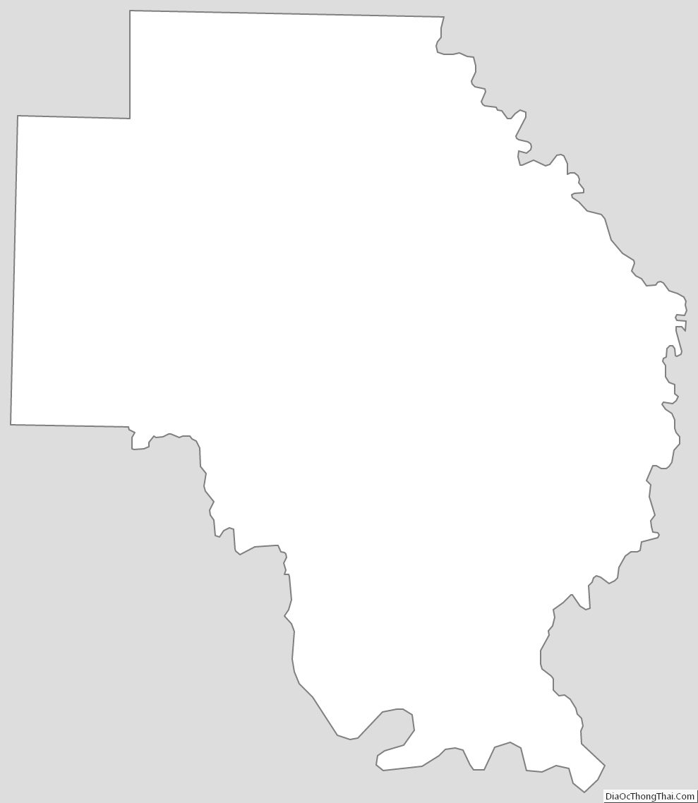
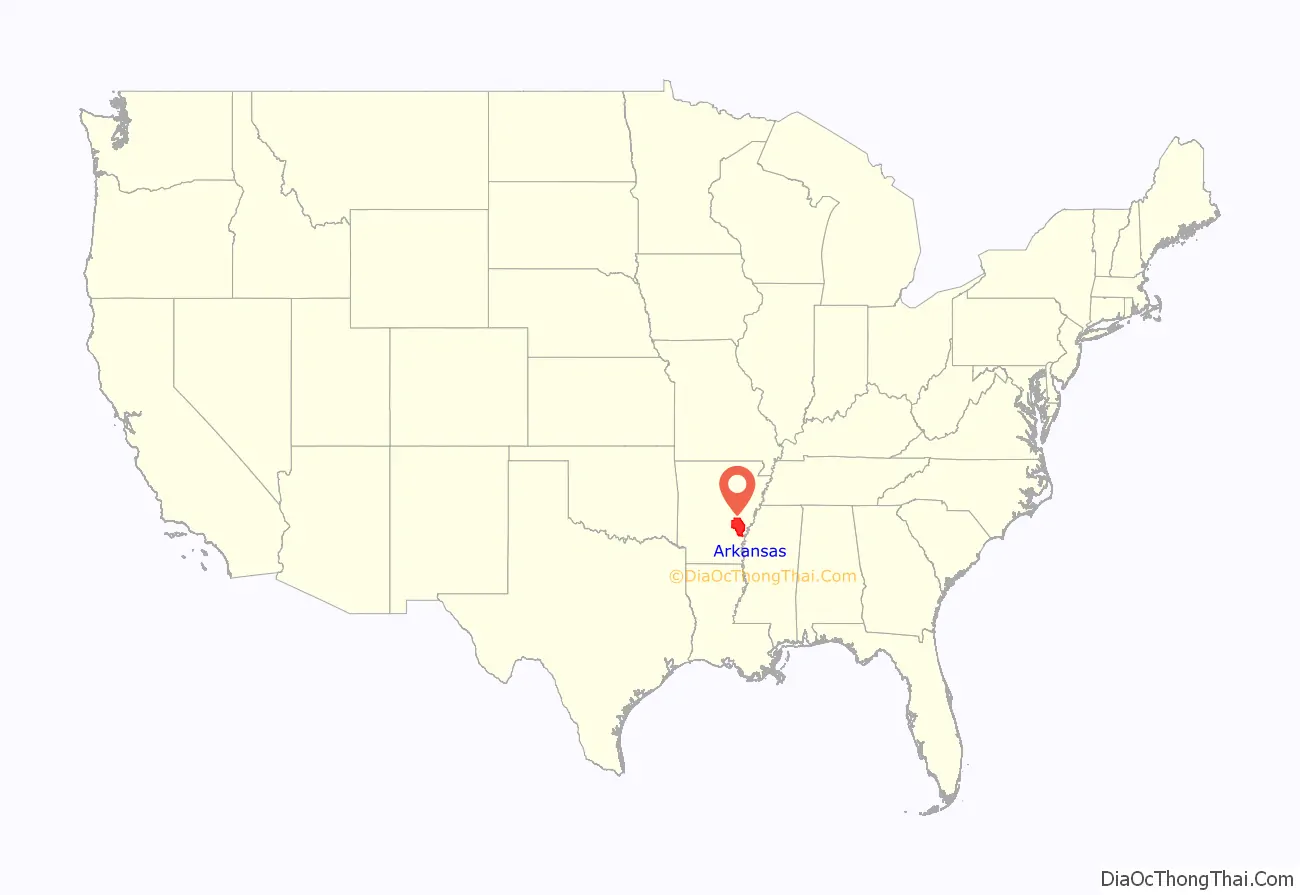
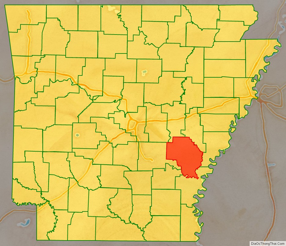
Arkansas County location map. Where is Arkansas County?
History
First French Era
Arkansas Post was the site of a French fort, used for negotiating and trading with the Native American tribes to the west, all of whom were allies of the French. However, to the east, the Chickasaw and Choctaw were enemies of the French (the Chickasaw and Choctaw were allied to the British.) The Native American nation in the area who the French traded with the most were the Quapaw people. On May the 10th of 1749, Arkansas Post was attacked by Chickasaw warriors. The Chickasaw warriors burned the settlement, killed many men, and took women and children as captives. In response to the attack, the French moved the post to Ecores Rouges.
Spanish Era
After the French were defeated in the French and Indian War, the territory was surrendered to the Spanish. However, they made no effort assert actual control over the territory, and all Europeans present during the Spanish era were French fur traders who had simply stayed behind.
Second French Era
Napoleon Bonaparte’s French army conquered Spain, and Napoleon made his brother the new king of Spain. Napoleon’s brother, acting as king of Spain, then “gave” the Louisiana territory back to France.
Louisiana Purchase and Territorial Arkansas
The county was created by the Missouri Territorial Legislature on December 31, 1813. It was called Arkansas after the Arkansas River, and the Arkansas tribe of Native Americans. It is one of seven current counties that have the same name as the state in which it is located.
Its original boundaries were New Madrid County to the north, Louisiana to the south, the Mississippi River to the east, and the Indian Boundary Line south of Fort Clark to the west. Arkansas County was within the Missouri Territory until creation of the Arkansas Territory on March 2, 1819.
Statehood and antebellum Arkansas
The county seat was moved from Arkansas Post to DeWitt, a newly established town created at the request of the Arkansas County Quorum Court on February 19, 1853. County government officially held court for the first time in DeWitt in October 1855.
This area was developed for cotton plantations through the antebellum period, based on the labor of enslaved African-American workers. Major planters earned considerable wealth with the commodity crop, for which there was high demand.
Citizens of the county supported the Secession Convention to discuss secession from the Union in 1861 by an 80% to 20% margin. The anti-immediate secession delegates negotiated a compromise to put the question on the statewide ballot in August, but to remain in the Union. Following President Abraham Lincoln’s request for troops following the Battle of Fort Sumter, citizens of several counties, including Arkansas County, formed a militia and stormed Little Rock to serve the Confederate government.
Civil War and Reconstruction
Arkansas County initially sent two companies of militia to Little Rock to serve in what would become the 1st Arkansas Infantry Regiment: Company H, known as “The Crockett Rifles”, and Company K, known as “The DeWitt Guards”. A third company would join the 6th Arkansas Infantry Regiment as the “Dixie Grays”.
The New South
In the post-Reconstruction era, whites directed considerable violence against African Americans, in an effort to restore and maintain white supremacy after Democrats regained power. At the turn of the century, the state legislature passed measures that effectively disenfranchised most blacks for decades. The Equal Justice Initiative reported in 2015 that the county had 18 lynchings of African Americans from 1877 to 1950, most in the decades near the turn of the 20th century. This was the highest of any county other than Phillips, where the Elaine Race Riot is believed to have resulted in more than 200 deaths of African Americans.
To escape the violence and social oppression, thousands of African Americans left the state in the Great Migration to northern industrial cities. They migrated beginning around World War I, increasing the number leaving during and after World War II, when rural jobs had been reduced.
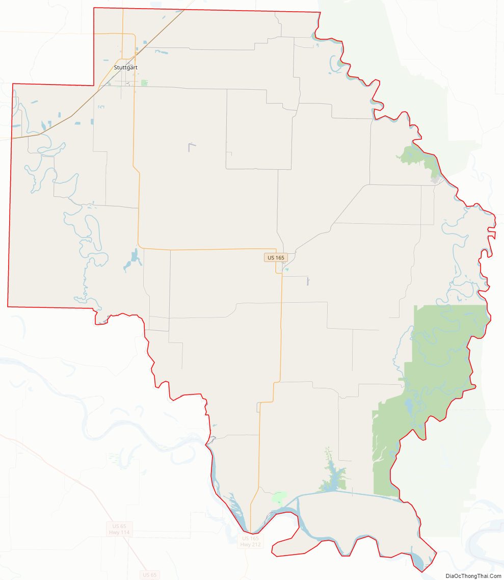
Arkansas County Road Map
Geography
Arkansas County is located in the Arkansas Delta (in Arkansas, usually referred to as “the Delta”) a subregion of the Mississippi Alluvial Plain, which is a flat area consisting of rich, fertile sediment deposits from the Mississippi River between Louisiana and Illinois.
Within the Delta, Arkansas County is almost entirely within the Grand Prairie subregion, historically a flat grassland plain underlain by an impermeable clay layer (the Stuttgart soil series). Prior to the 19th century, flatter areas with slowly to very slowly permeable soils (often containing fragipans) supported Arkansas’s largest prairie, covered in prairie grasses and forbs, with oaks covering the low hills and ridges, and pockets of floodplains with bottomland hardwood forests. This region was a sharp contrast to the bottomland forests that once dominated other parts of the Mississippi Alluvial Plain. Cropland has now largely replaced the native vegetation. Distinctively, rice is the main crop; soybeans, cotton, corn, and wheat are also grown. The rice fields provide habitat and forage for large numbers and many species of waterfowl; duck and goose hunting occurs at this important spot along the Mississippi Flyway.
Two different eco-regions border the Grand Prairie along the major rivers forming the county’s east and southern boundaries: the Arkansas River Holocene Meander Belt and the Western Lowlands Holocene Meanders. These areas of flat floodplain contain the meander belts of the present and past watercourses, point bars, natural levees, swales, and abandoned river channels. Some of the most extensive remaining tracts of native bottomland hardwood forest in the Mississippi Alluvial Plain remain along these rivers. Along the banks of the White River in Arkansas County, these forests are preserved in the White River National Wildlife Refuge.
According to the U.S. Census Bureau, the county has a total area of 1,033.79 square miles (2,677.5 km), of which 988.49 square miles (2,560.2 km) is land and 45.30 square miles (117.3 km) (4.4%) is water.
The county is located approximately 55 miles (89 km) east of Little Rock, 112 miles (180 km) southwest of Memphis, Tennessee, and 367 miles (591 km) northeast of the Dallas-Fort Worth Metroplex (DFW) in Texas. Arkansas County is surrounded by Prairie County to the north, Monroe County to the northeast, Phillips County to the east, Desha County to the south, Lincoln County to the southwest, Jefferson County to the west, and Lonoke County to the northwest.
Hydrology
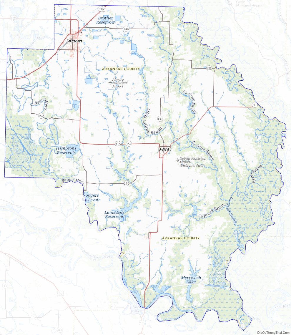
Water is an extremely important part of Arkansas County’s geography, history, economy, and culture. The many rivers, streams, and ditches crossing the county have featured prominently since prehistoric times, and many of the hundreds of archaeological sites, including the Menard–Hodges site, are along waterways. The navigability of the Arkansas River has been important for every civilization in Arkansas County since prehistory. Tribes of Quapaw, Casqui, and Mississippian cultures were settled in the area along the rivers. Three major rivers form much of the county’s boundaries: Arkansas River, Bayou Meto, and the White River. Within the county, La Grue Bayou is an important watercourse.
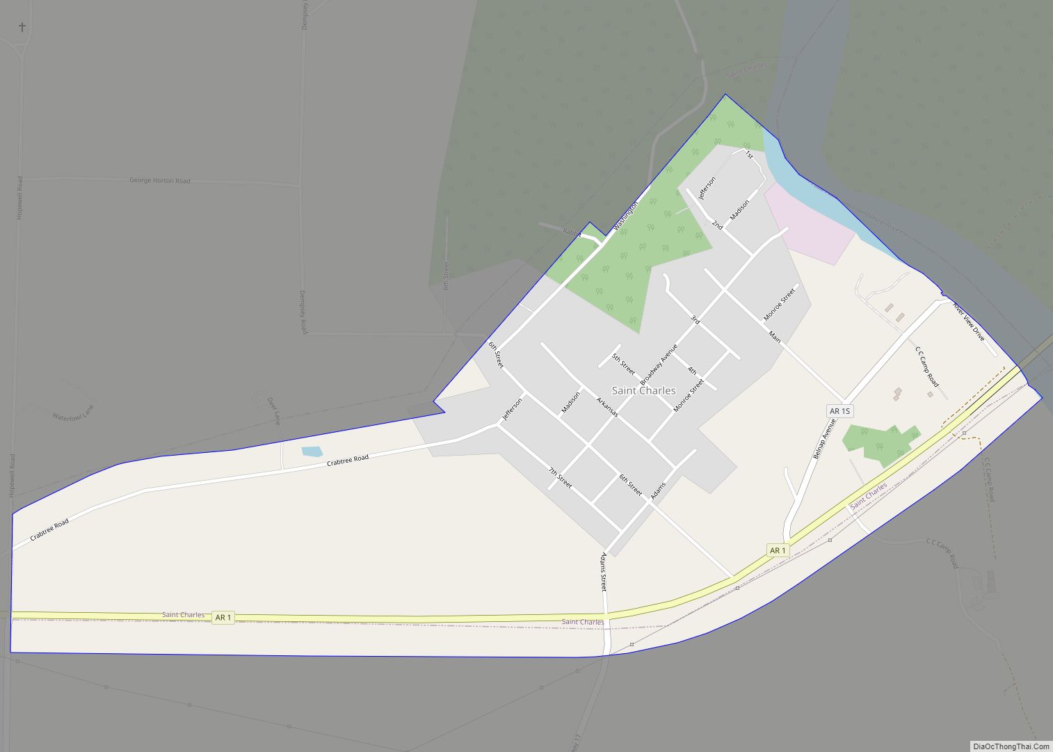
Rivers brought early prosperity to the county during white settlement for navigation. The county saw battles for control of the rivers during the American Revolution in 1783 at the Battle of Arkansas Post, and the Civil War in 1862 and 1863 in the Battle of Saint Charles and Battle of Arkansas Post, respectively.
Protected areas
Several agencies own and maintain areas of natural and cultural value for enjoyment and use by residents and visitors of Arkansas County. Along the county’s eastern boundary, 99.3 square miles (257 km) of the Dale Bumpers White River National Wildlife Refuge protect Mississippi lowland forests along the White River. In the western part of the county, 39.3 square miles (102 km) of the George H. Dunklin Jr. Bayou Meto Wildlife Management Area (WMA) is managed by the Arkansas Game and Fish Commission (AGFC) to preserve natural woodlands and wetlands for wintering waterfowl within the Mississippi Flyway. At the southern tip of the county, the bottomland hardwood forest area between the Arkansas and White is preserved in the Trusten Holder WMA. The area is well known for hunting and fishing, and bald eagle watching in winter. The AGFC also maintains the Ethel WMA, a 176-acre (71 ha) area known for small game hunting, formerly open only to residents of Ethel.
The Arkansas Natural Heritage Commission maintains two small sites in Arkansas County: the Roth Prairie Natural Area and the Striplin Woods Natural Area. Roth Prairie is a flat 41 acres (17 ha) plot south of Stuttgart, one of the few remaining tallgrass prairies typical of the Grand Prairie prior to leveling and clearing for human settlement. Striplin Woods preserves a very biodiverse section of old growth bottomland hardwood forest along the White River located within the White River NWR, and is comanaged with the United States Fish and Wildlife Service.
Along the Arkansas, the Corps maintains a total of 160 campgrounds at Merrisach, Notrebes Bend, Pendleton Bend, and Wilbur D. Mills Use Areas, each with electric hookups, boat ramps, and restroom facilities. The Corps also maintains the Moore Bayou Day Use Area on the Arkansas, providing access to the Arkansas Post Water Trail, and Wild Goose Bayou Day Use Area on the Arkansas Canal.
The primary cultural site in Arkansas County is Arkansas Post, the historic entrepot near the confluence of the Arkansas and Mississippi Rivers, and early epicenter of white settlement in the region. Founded in 1686, Arkansas Post was established at various sites near the confluence, often moving after flood events. Though remains of the post have been lost by movements of the Arkansas River, a small townsite is preserved as the Arkansas Post National Memorial. The nearby Arkansas Post State Park preserves the history of early settlement on the Grand Prairie through a five-building museum. The central structure is the 1877 Refeld-Hinman dogtrot house.
Arkansas County Topographic Map
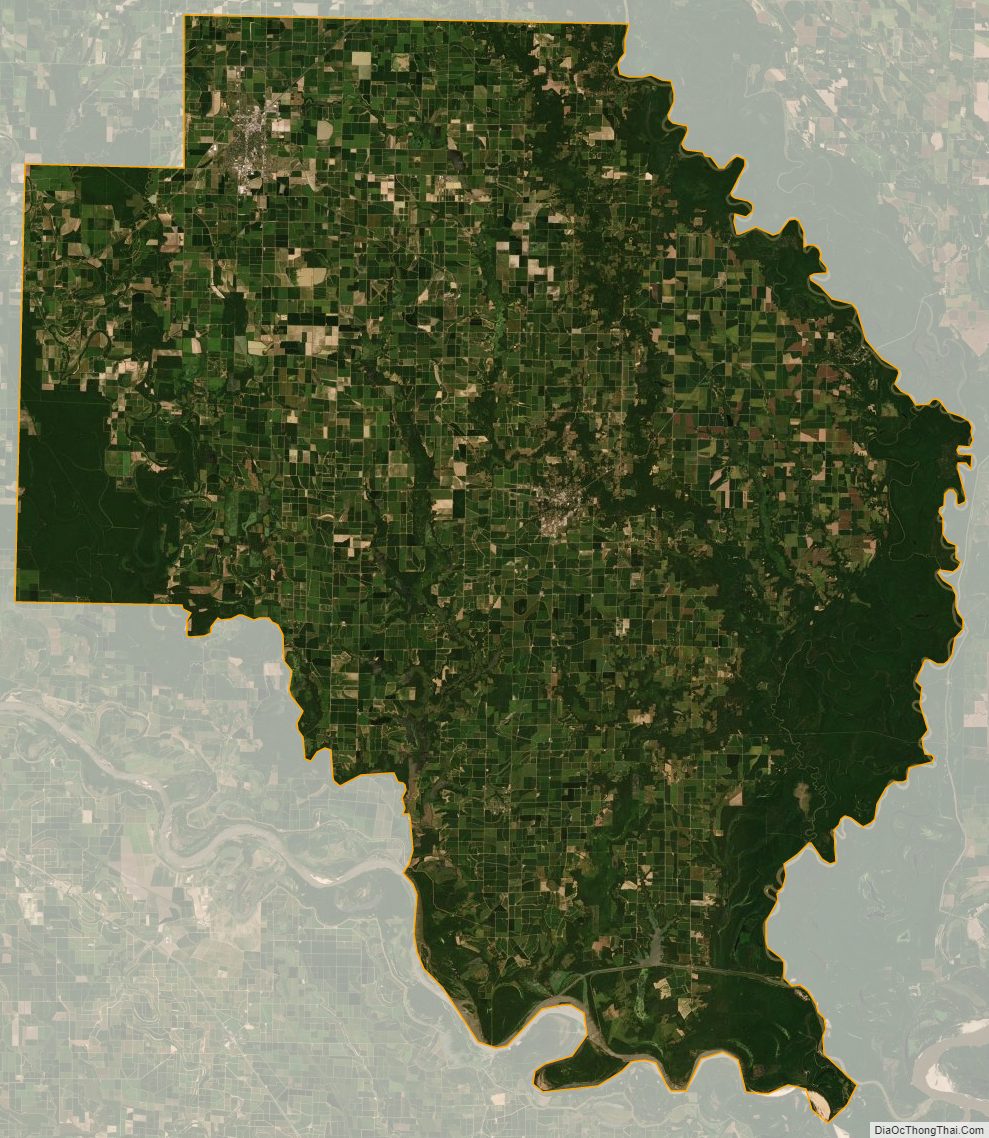
Arkansas County Satellite Map
Arkansas County Outline Map