Little Rock is the capital and most populous city of the U.S. state of Arkansas. The city’s population was 204,405 in 2022, according to the United States Census Bureau. As the county seat of Pulaski County, the city was incorporated on November 7, 1831, on the south bank of the Arkansas River close to the state’s geographic center. The city derived its name from a rock formation along the river, named the “Little Rock” by the French explorer Jean-Baptiste Bénard de la Harpe in 1722. The capital of the Arkansas Territory was moved to Little Rock from Arkansas Post in 1821. The six-county Little Rock–North Little Rock–Conway, AR Metropolitan Statistical Area (MSA) is ranked 81st in terms of population in the United States with 748,031 residents according to the 2020 estimate by the United States Census Bureau.
Little Rock is a cultural, economic, government, and transportation center within Arkansas and the American South. Several cultural institutions are in Little Rock, such as the Arkansas Museum of Fine Arts, the Arkansas Repertory Theatre, the Arkansas Symphony Orchestra, and the Mosaic Templars Cultural Center, in addition to hiking, boating, and other outdoor recreational opportunities. Little Rock’s history is available through history museums, historic districts or neighborhoods of Little Rock like the Quapaw Quarter, and historic sites such as Little Rock Central High School. The city is the headquarters of Dillard’s, Windstream Communications, Stephens Inc., University of Arkansas for Medical Sciences, Heifer International, Winrock International, the Clinton Foundation, and the Rose Law Firm.
| Name: | Little Rock city |
|---|---|
| LSAD Code: | 25 |
| LSAD Description: | city (suffix) |
| State: | Arkansas |
| County: | Pulaski County |
| Founded: | June 1, 1821 |
| Elevation: | 335 ft (102 m) |
| Land Area: | 120.05 sq mi (310.92 km²) |
| Water Area: | 2.96 sq mi (7.66 km²) |
| Population Density: | 1,687.60/sq mi (651.58/km²) |
| Area code: | 501 |
| FIPS code: | 0541000 |
| GNISfeature ID: | 83350 |
| Website: | www.littlerock.gov |
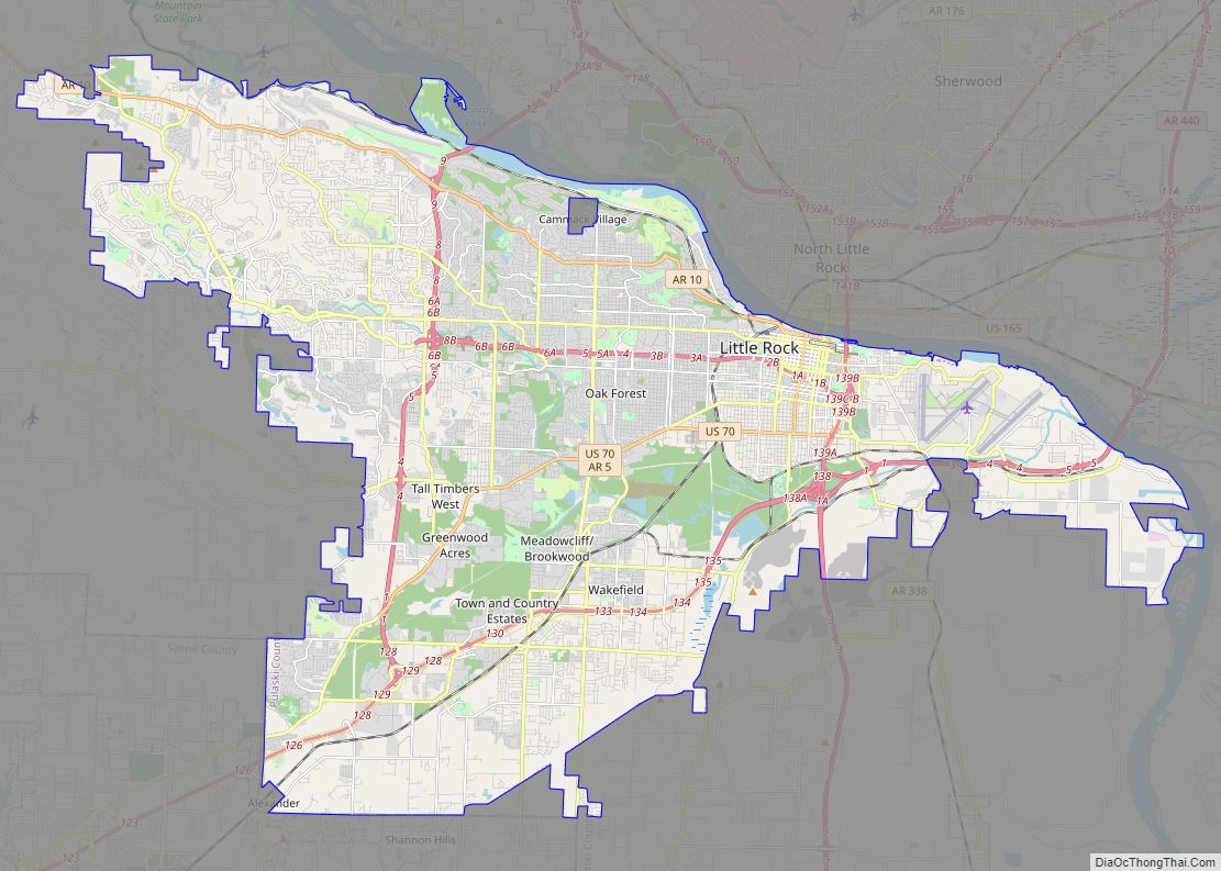
Little Rock, Arkansas is the capital city of the state, located in Central Arkansas in Pulaski County. The city is home to approximately 200,000 people, and is split by the Arkansas River with North Little Rock in the north. This Little Rock map collection shows major highways, roads, reference information, and things to do in the city. Use this collection to find everything you need to know about the city in one place and get the most out of your trip.
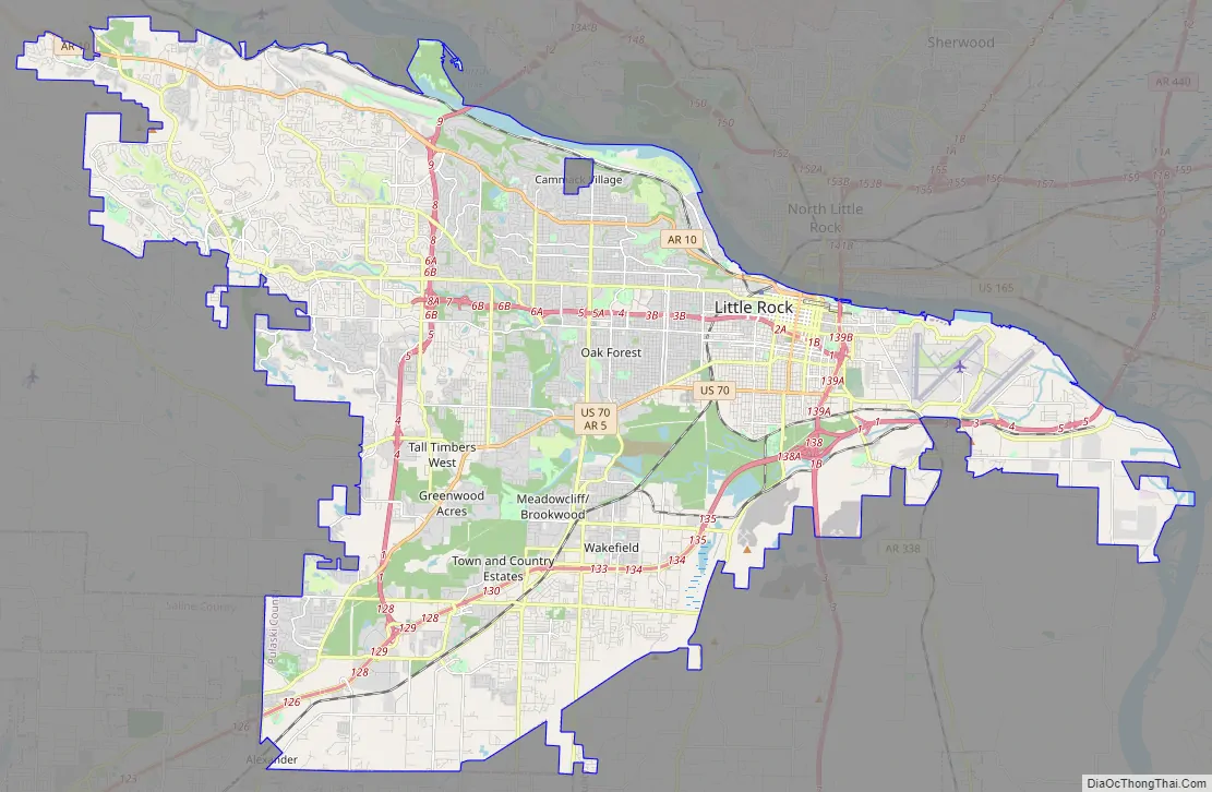
Online Interactive Map
Click on ![]() to view map in "full screen" mode.
to view map in "full screen" mode.
Whether it’s for business or pleasure, this interactive map is the perfect companion. It includes points of interest and the best places to stay and eat, as well as information on the airport, downtown, and more. This interactive Google map is the first step to experiencing the city and all its attractions.
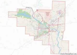
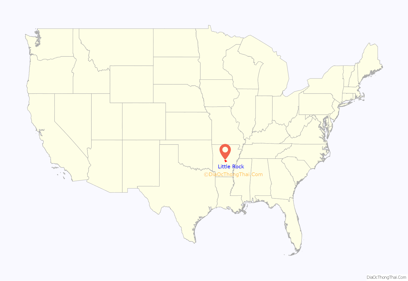
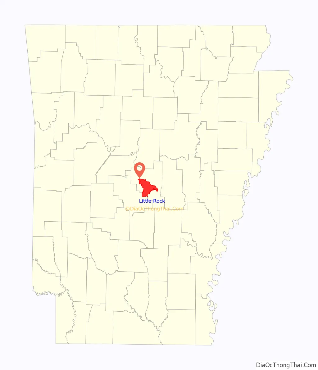
Little Rock location map. Where is Little Rock city?
History
Archeological artifacts provide evidence of Native Americans inhabiting Central Arkansas for thousands of years before Europeans arrived. The early inhabitants may have been the Folsom people, Bluff Dwellers, and Mississippian culture peoples who built earthwork mounds recorded in 1541 by Spanish explorer Hernando de Soto. Historical tribes of the area are the Caddo, Quapaw, Osage, Choctaw, and Cherokee.
Little Rock was named for a stone outcropping on the bank of the Arkansas River used by early travelers as a landmark, which marked the transition from the flat Mississippi Delta region to the Ouachita Mountain foothills. It was named in 1722 by French explorer and trader Jean-Baptiste Bénard de la Harpe. Travelers referred to the area as the “Little Rock”. Though there was an effort to officially name the city “Arkopolis” upon its founding in the 1820s, and that name did appear on a few maps made by the US Geological Survey, the name Little Rock is eventually what stuck.
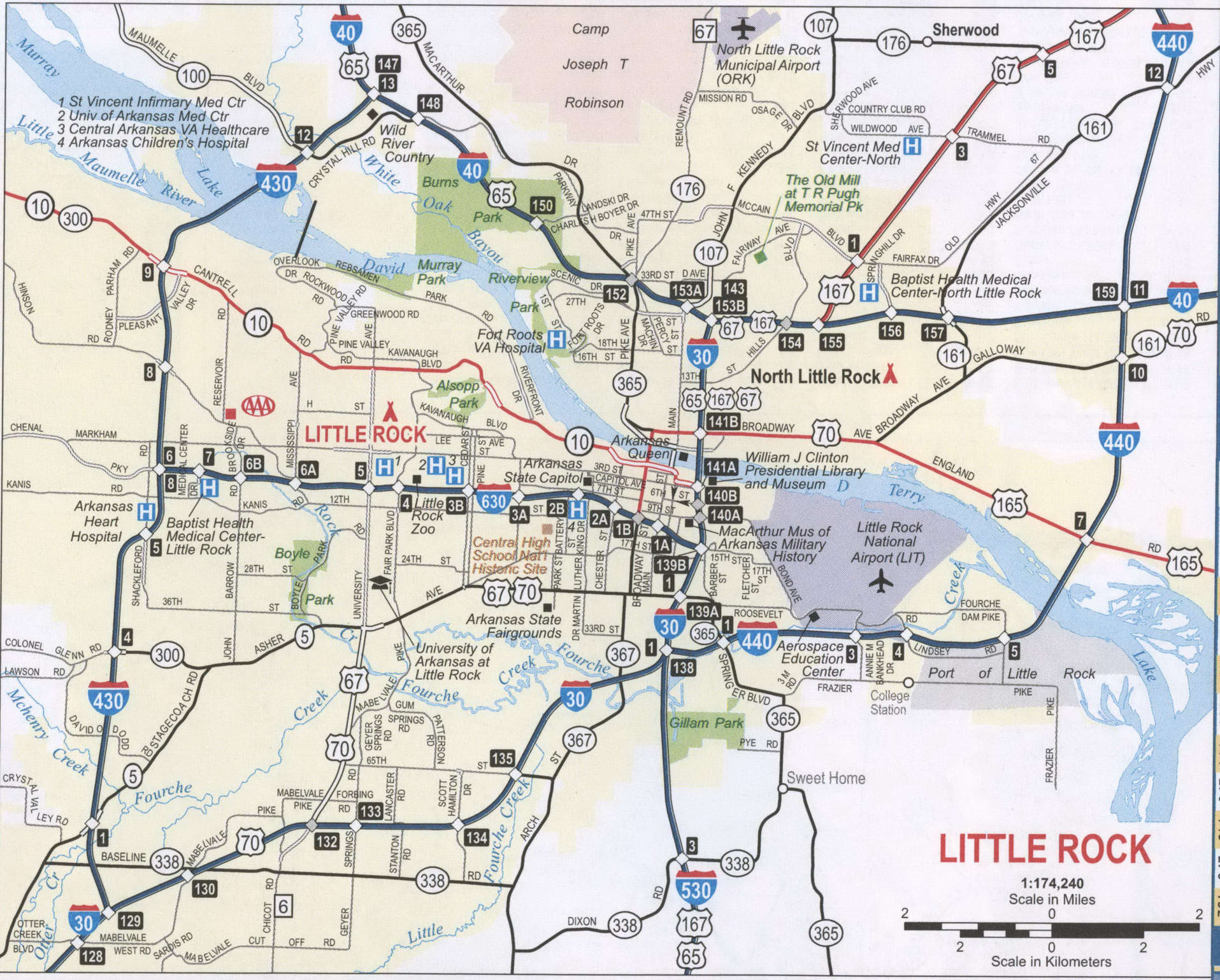
Little Rock Road Map
If you’re looking for a way to explore, this map is the perfect tool to help you navigate your way around town. This map provides an overview of the transportation system of the city. Whether you want to find your way around or just access places of interest in the city, this map is a great way to learn about the city. If you’re traveling outside the city, you can find highway information on an Arkansas road map.
Interstate Highways: I-30, I-430, I-440, I-530, I-630
US Highways: 5, 10, 27, 30, 67, 300, 365, 367,
Parkways: Chenal Pky, Financial Centre Pky
Major Roads: 2nd St, 65th St, 9th St, Arch St, Asher Ave, Broadway St, Cantrell Rd, College St, Colonel Glenn Rd, Confederate Blvd, Cumberland St, Dixon Rd, Frontage Rd, Geyer Springs Rd, La Harpe Blvd, Robinwood Dr, Roosevelt Rd, Springer Blvd, Stagecoach Rd, University Ave
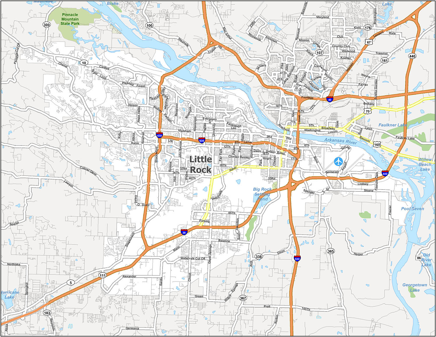
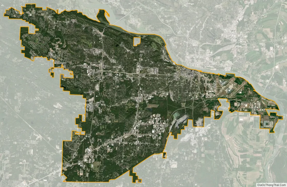
Explore the city of Little Rock with this interactive map that highlights the city’s most prominent landmarks, parks, historic sites, lakes, and populated areas. You can also find airports, cities, and census-designated places, as well as water features such as the Arkansas River, Big Rock Settling Pond, Old River Lake, Pool Seven, and Willow Beach Lake.
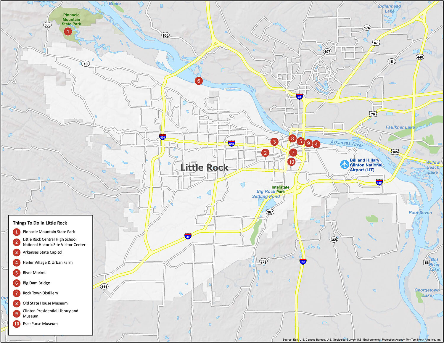
10 things to do in Little Rock city
Little Rock is a city full of hidden gems. Check out the best-kept secrets in and around the city with this detailed map of Little Rock. From Pinnacle Mountain State Park to the Arkansas State Capitol, there are plenty of attractions to explore in this city. Also, don’t forget to visit the Little Rock Central High School National Historic Site, the second top attraction in Little Rock, Arkansas. With all these attractions, you’ll never run out of things to do in Little Rock.
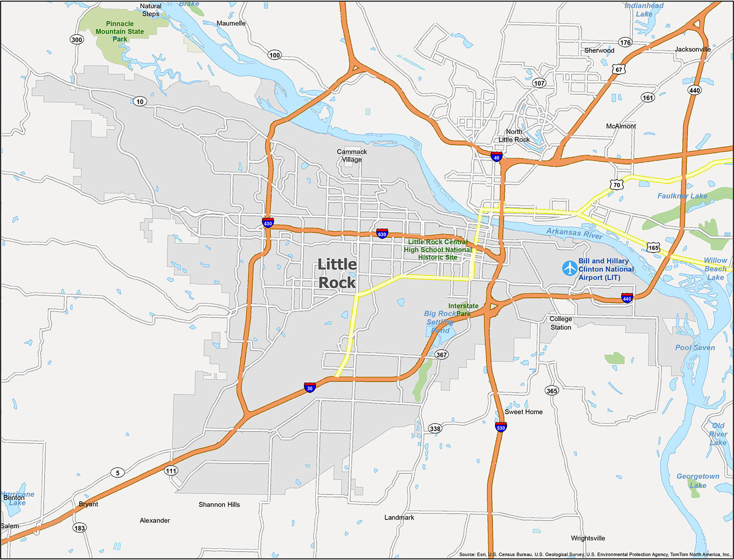
Little Rock city Satellite Map
Geography
Little Rock is located at 34°44′10″N 92°19′52″W / 34.73611°N 92.33111°W / 34.73611; -92.33111 (34.736009, −92.331122).
According to the United States Census Bureau, the city has a total area of 116.8 square miles (303 km), of which 116.2 square miles (301 km) is land and 0.6 square miles (1.6 km) (0.52%) is water.
Little Rock is on the south bank of the Arkansas River in Central Arkansas. Fourche Creek and Rock Creek run through the city, and flow into the river. The western part of the city is in the foothills of the Ouachita Mountains. Northwest of the city limits are Pinnacle Mountain and Lake Maumelle, which provides Little Rock’s drinking water.
The city of North Little Rock is just across the river from Little Rock, but it is a separate city. North Little Rock was once the 8th ward of Little Rock. An Arkansas Supreme Court decision on February 6, 1904, allowed the ward to merge with the neighboring town of North Little Rock. The merged town quickly renamed itself Argenta (the local name for the former 8th Ward), but returned to its original name in October 1917.
Neighborhoods
- Applegate
- Birchwood
- Breckenridge
- Briarwood
- Broadmoor
- Bryce’s Creek
- Capitol-Main Historic District
- Capitol View/Stifft’s Station
- Central High School Historic District
- Chenal Valley
- Cloverdale
- Colony West
- Downtown
- Echo Valley
- East End
- Fair Park
- Geyer Springs
- Governor’s Mansion
- Granite Mountain
- Gum Springs
- Hanger Hill
- Hall High
- The Heights
- Highland Park
- Hillcrest
- John Barrow
- Leawood
- Mabelvale
- MacArthur Park
- Marshall Square
- Otter Creek
- Pankey
- Paul Laurence Dunbar School
- Pinnacle Valley
- Pleasant Valley
- Pulaski Heights
- Quapaw Quarter
- Riverdale
- Robinwood
- Rosedale
- Scott Street
- St. Charles
- South End
- South Main Street (apartments)
- South Main Street (residential)
- South Little Rock
- Southwest Little Rock
- Stagecoach
- Sturbridge
- University Park
- Walnut Valley
- Walton Heights
- Wakefield
- West End
- Woodlands Edge
Metropolitan area
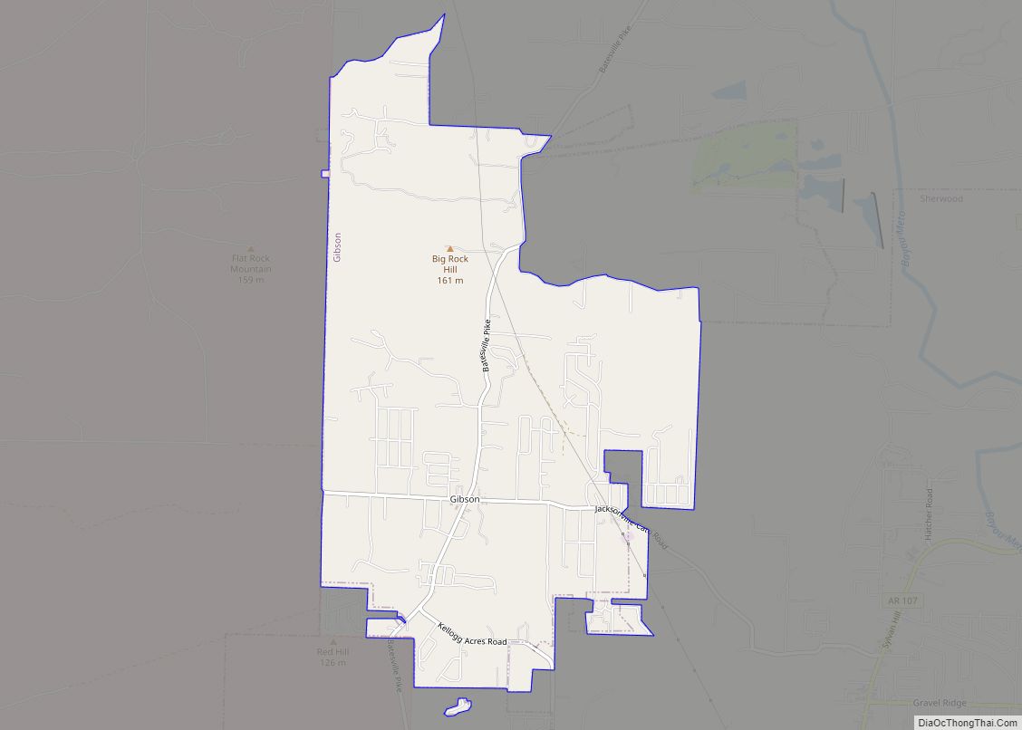
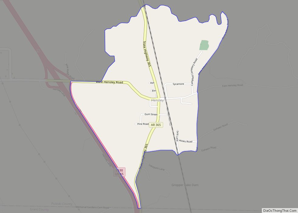
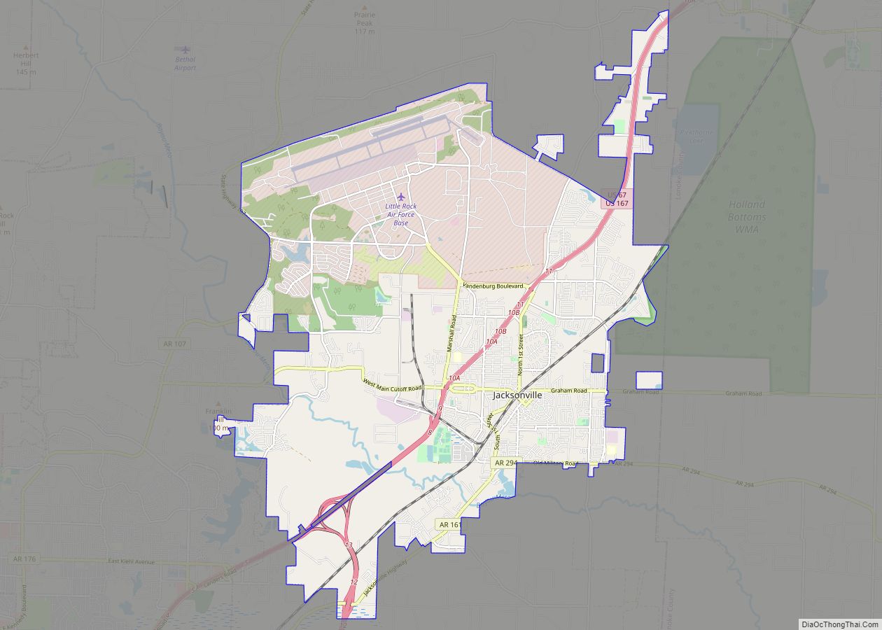
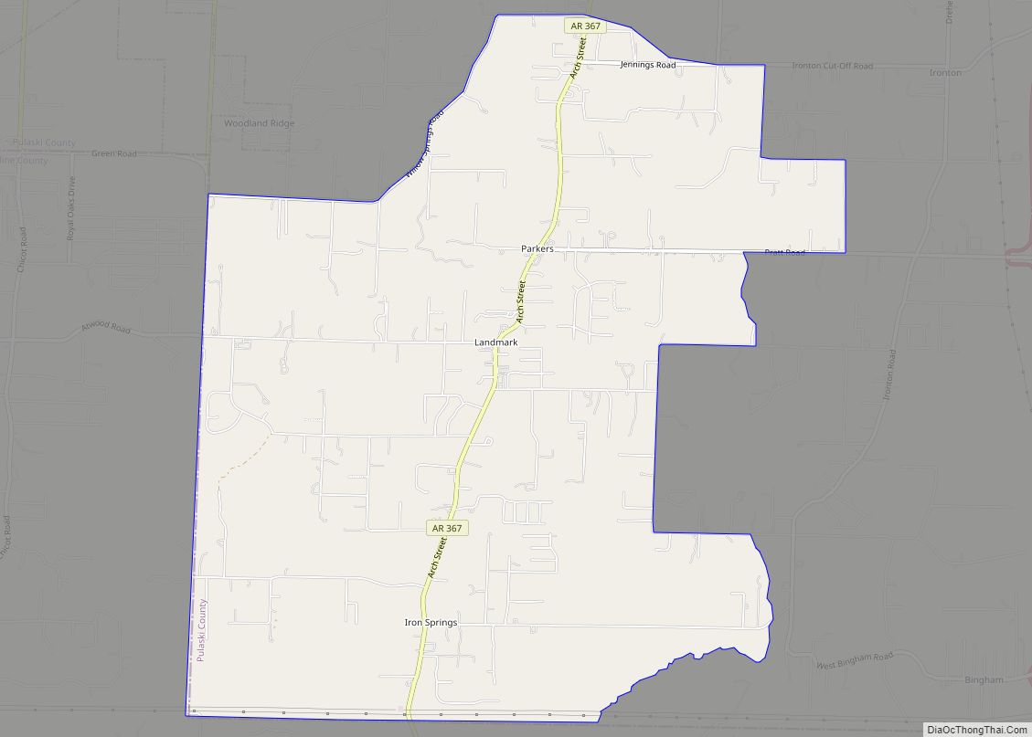
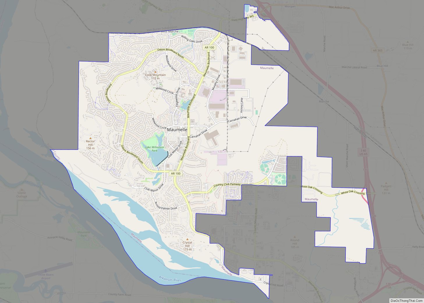
The 2020 U.S. Census population estimate for the Little Rock-North Little Rock-Conway, AR Metropolitan Statistical Area was 748,031. The MSA covers the following counties: Pulaski, Faulkner, Grant, Lonoke, Perry, and Saline. The largest cities are Little Rock, North Little Rock, Conway, Jacksonville, Benton, Sherwood, Cabot, Maumelle, and Bryant.
Climate
Little Rock lies in the humid subtropical climate zone (Cfa), with hot, humid summers and cool winters with usually little snow. It has experienced temperatures as low as −12 °F (−24 °C), which was recorded on February 12, 1899, and as high as 114 °F (46 °C), which was recorded on August 3, 2011.
See also
Map of Arkansas State and its subdivision:- Arkansas
- Ashley
- Baxter
- Benton
- Boone
- Bradley
- Calhoun
- Carroll
- Chicot
- Clark
- Clay
- Cleburne
- Cleveland
- Columbia
- Conway
- Craighead
- Crawford
- Crittenden
- Cross
- Dallas
- Desha
- Drew
- Faulkner
- Franklin
- Fulton
- Garland
- Grant
- Greene
- Hempstead
- Hot Spring
- Howard
- Independence
- Izard
- Jackson
- Jefferson
- Johnson
- Lafayette
- Lawrence
- Lee
- Lincoln
- Little River
- Logan
- Lonoke
- Madison
- Marion
- Miller
- Mississippi
- Monroe
- Montgomery
- Nevada
- Newton
- Ouachita
- Perry
- Phillips
- Pike
- Poinsett
- Polk
- Pope
- Prairie
- Pulaski
- Randolph
- Saint Francis
- Saline
- Scott
- Searcy
- Sebastian
- Sevier
- Sharp
- Stone
- Union
- Van Buren
- Washington
- White
- Woodruff
- Yell
- Alabama
- Alaska
- Arizona
- Arkansas
- California
- Colorado
- Connecticut
- Delaware
- District of Columbia
- Florida
- Georgia
- Hawaii
- Idaho
- Illinois
- Indiana
- Iowa
- Kansas
- Kentucky
- Louisiana
- Maine
- Maryland
- Massachusetts
- Michigan
- Minnesota
- Mississippi
- Missouri
- Montana
- Nebraska
- Nevada
- New Hampshire
- New Jersey
- New Mexico
- New York
- North Carolina
- North Dakota
- Ohio
- Oklahoma
- Oregon
- Pennsylvania
- Rhode Island
- South Carolina
- South Dakota
- Tennessee
- Texas
- Utah
- Vermont
- Virginia
- Washington
- West Virginia
- Wisconsin
- Wyoming