Florence County is a county located in the U.S. state of South Carolina. As of the 2020 census, its population was 137,059. Its county seat is Florence.
Florence County is included in the Florence, SC Metropolitan Statistical Area. The county’s population is about 60% urban.
| Name: | Florence County |
|---|---|
| FIPS code: | 45-041 |
| State: | South Carolina |
| Founded: | 1888 |
| Named for: | Florence Harllee |
| Seat: | Florence |
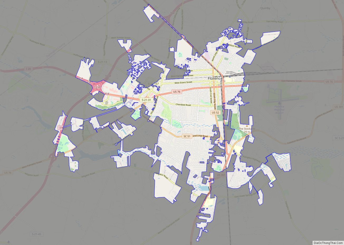
| Largest city: | Florence |
| Total Area: | 804 sq mi (2,080 km²) |
| Land Area: | 800 sq mi (2,000 km²) |
| Total Population: | 136,504 |
| Population Density: | 170.6/sq mi (65.9/km²) |
| Time zone: | UTC−5 (Eastern) |
| Summer Time Zone (DST): | UTC−4 (EDT) |
| Website: | www.florenceco.org |
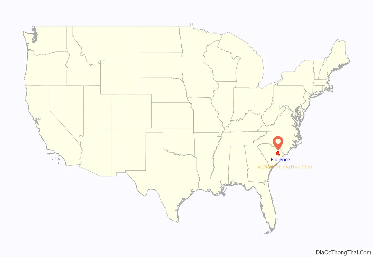
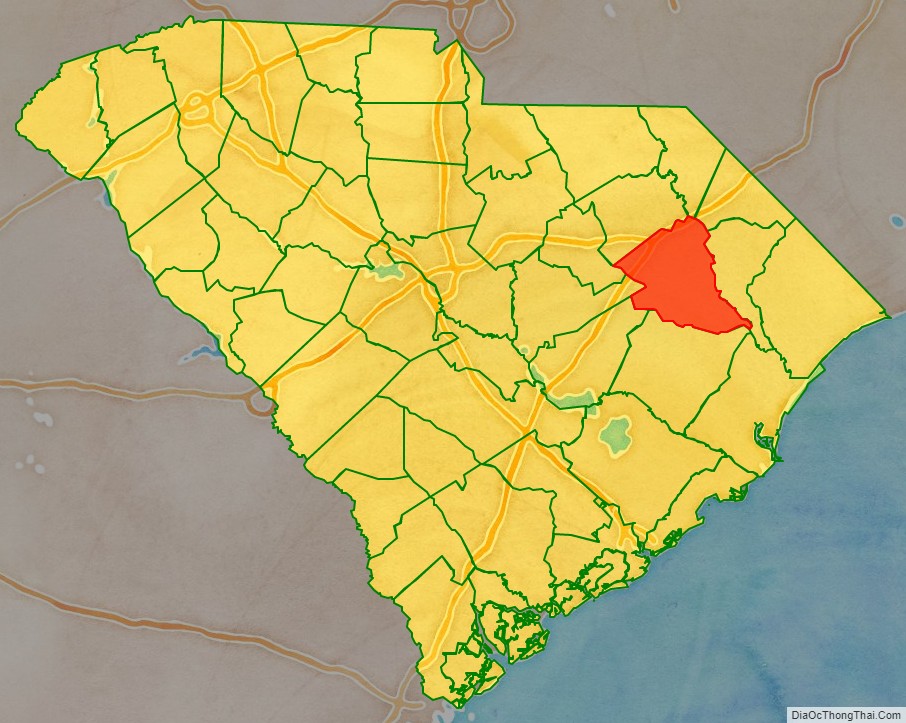
Florence County location map. Where is Florence County?
History
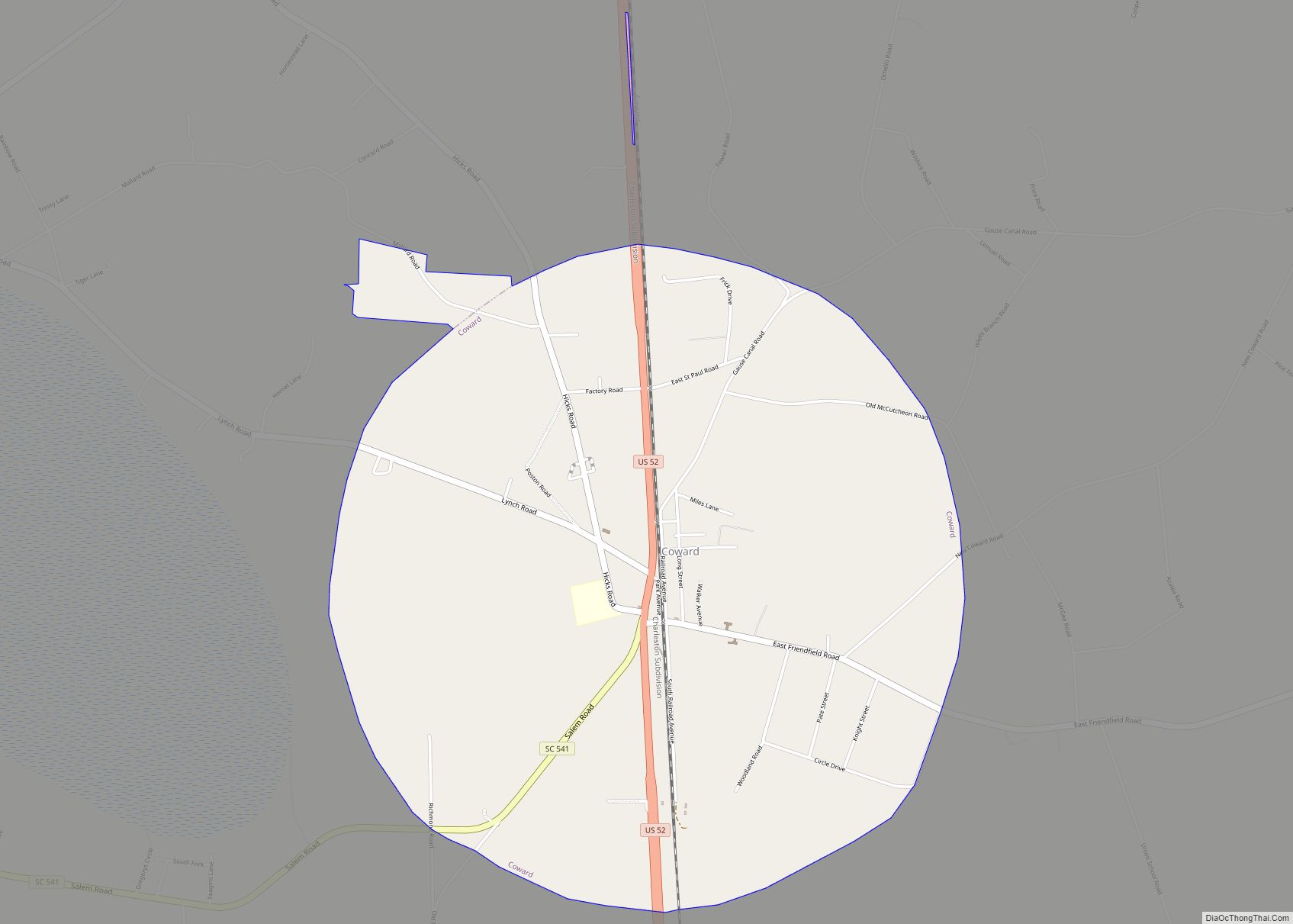
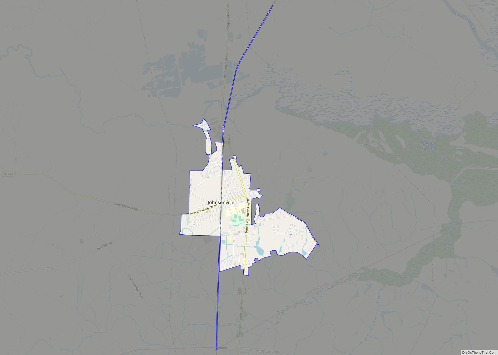
Florence County was formed from main sections of Darlington and Marion Counties plus other townships from Williamsburg and Clarendon Counties, starting in 1888. The last section of Williamsburg County was not added until 1921. Florence County was named for the daughter of General W. W. Harlee. On December 26, 1921, Bill McAllister was lynched for having an affair with a white woman.
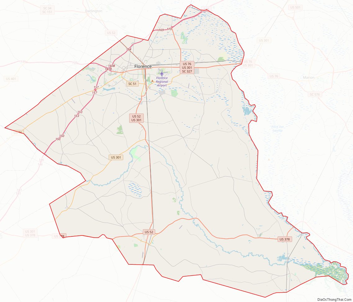
Florence County Road Map
Geography
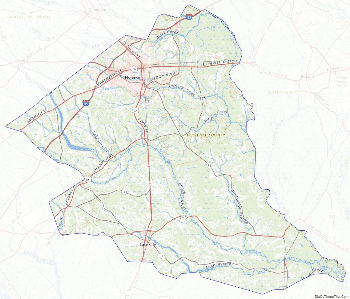
According to the U.S. Census Bureau, the county has a total area of 804 square miles (2,080 km), of which 800 square miles (2,100 km) is land and 3.8 square miles (9.8 km) (0.5%) is water.
State and local protected areas
- Lynches River County Park
- Moore Farms Botanical Garden (part)
- Pee Dee Station Site Wildlife Management Area
- Woods Bay State Park (part)
Major water bodies
- Great Pee Dee River
- Lynches River
Adjacent counties
- Williamsburg County – south
- Marion County – east
- Dillon County – north
- Marlboro County – north
- Darlington County – northwest
- Lee County – west
- Sumter County – southwest
- Clarendon County – southwest
Major highways
- I-20
- I-20 BS
- I-95
- US 52
- US 52 Truck
- US 52 Conn.
- US 76
- US 76 Conn.
- US 301
- US 301 Truck (Truck Route)
- US 378
- US 378 Bus.
- SC 41
- SC 46
- SC 51
- SC 51 Conn.
- SC 57
- SC 327
- SC 341
- SC 403
- SC 541
- SC 575
Major infrastructure
- Florence Regional Airport
- Florence Station
Florence County Topographic Map
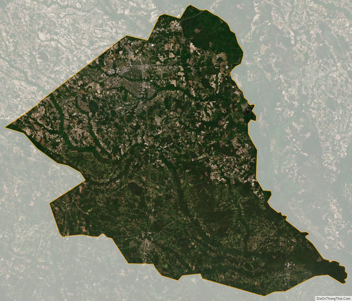
Florence County Satellite Map
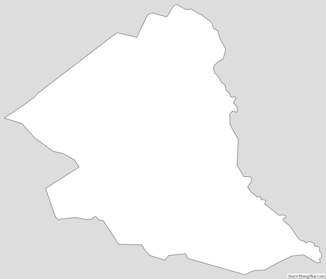
Florence County Outline Map