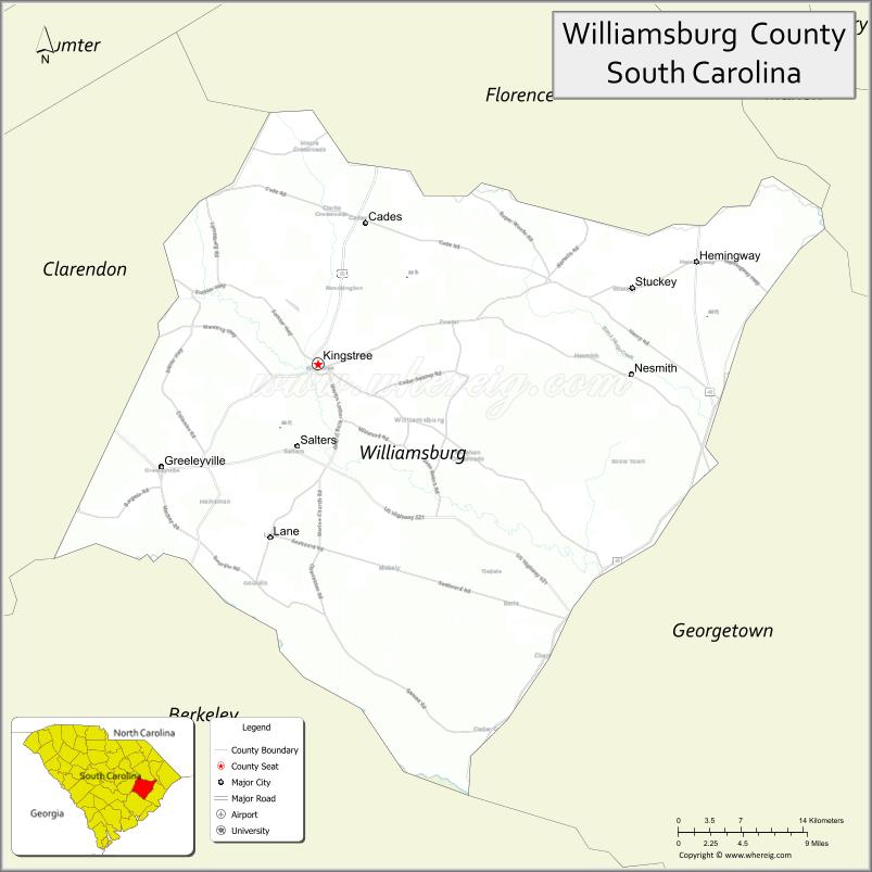
Williamsburg County is a county located in the U.S. state of South Carolina. As of the 2020 census its population was 31,026. The county seat and largest city is Kingstree. After a previous incarnation of Williamsburg County, the current county was created in 1804.
| Name: | Williamsburg County |
|---|---|
| FIPS code: | 45-089 |
| State: | South Carolina |
| Founded: | 1785 |
| Named for: | William of Orange |
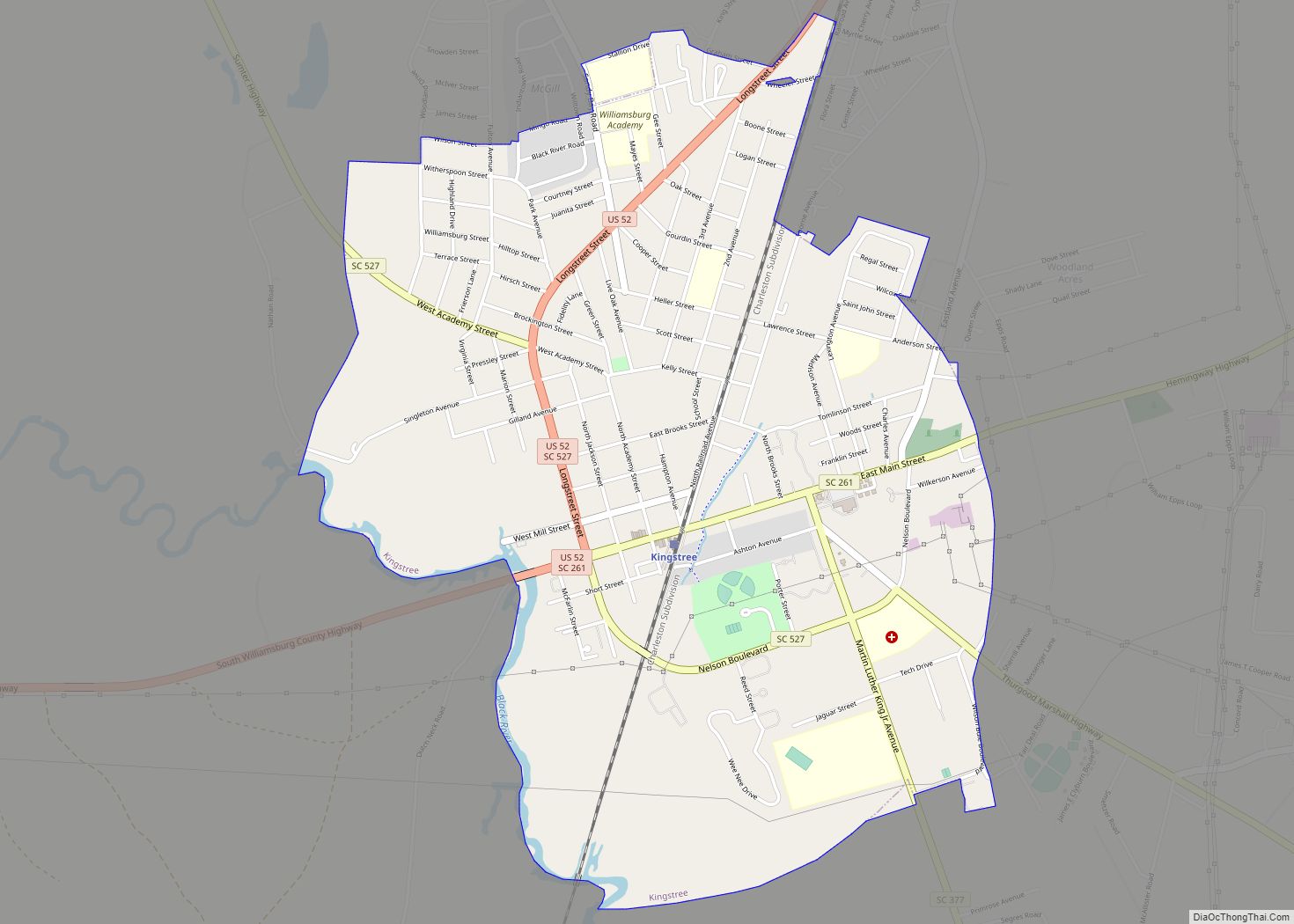
| Seat: | Kingstree |
| Largest city: | Kingstree |
| Total Area: | 937 sq mi (2,430 km²) |
| Land Area: | 934 sq mi (2,420 km²) |
| Total Population: | 31,026 |
| Population Density: | 33/sq mi (13/km²) |
| Time zone: | UTC−5 (Eastern) |
| Summer Time Zone (DST): | UTC−4 (EDT) |
| Website: | www.williamsburgcounty.sc.gov |
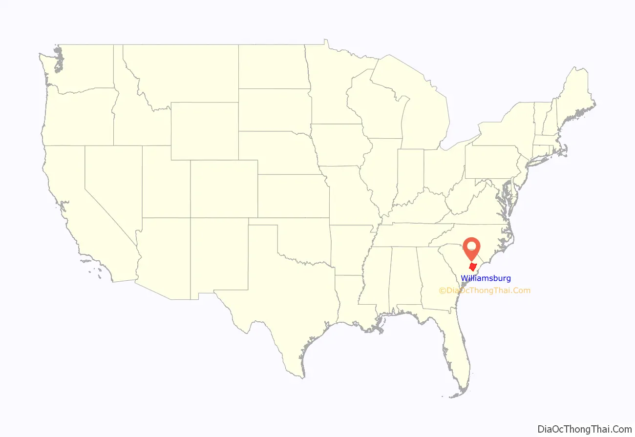
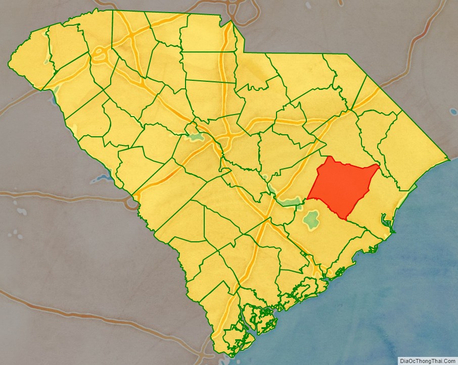
Williamsburg County location map. Where is Williamsburg County?
History
In 1867 the United States military oversaw the registering of voters in the county in preparation for the election of a new “reconstruction” government. In the Williamsburg District, there were 800 whites and 1,725 African-Americans who were eligible to vote under the new system. A convention was held to organize a new constitutions for the state of South Carolina, the Williamsburg District was represented by William Darrington who was a white reverend from the Williamsburg District who had opposed slavery before the war as well as C.M. Olsen and Stephen A. Swails who were both African-American. Darrington led a prayer at the opening of the convention on February 14 of 1868.
In 1868 the state constitution abolished the parishes and designated judicial districts formally as counties thus transforming the “Williamsburg District” into “Williamsburg County.”
In 1868 an election was held in which all men older than 21 years of age who had never been convicted of committing a felony nor were “prohibited on account of service under Confederate Government” were allowed to vote. This was a form of direct democratic election which had been set up by the reconstruction government of South Carolina. Almost all voters in this election were African American. No one who fought for the Confederacy was allowed to vote in the election. Many African-American officials were elected. Stephen A. Swails was an educated black man from Pennsylvania who had fought in the U.S. military in the 54th Massachusetts Infantry Regiment during the civil war, and who was elected to represent Williamsburg County in the South Carolina State Senate. F.H. Frost, J. Pendergrass and Fortune Guilds were three black men chosen to represent Williamsburg County in the South Carolina State House of Representatives. F. H. Frost was a black man elected as school commissioner. F.H. Swails was a black man elected as an auditor of Williamsburg County. C. Rasted and F.H. Frost were two black men who were elected as the assessors for Williamsburg County’s county government. W.W. Ward was a white abolitionist from Massachusetts who was elected to be the sheriff of Williamsburg County, F.C. Cooper was a white abolitionist Quaker from Pennsylvania who was elected to be the clerk of the court of Williamsburg County and C.H. Pettingil, a Union Army officer from Boston, Massachusetts and former member of the Massachusetts Abolition Society who was elected as Williamsburg County’s state constable representing the county in South Carolina’s state government. In all of these elections local whites from South Carolina who had, by coincidence, not fought in the confederate military did run, however every single one of them lost. Every single man elected from Williamsburg County in this election was a member of the Republican Party.
During this time, State Senator Stephen A. Swails also served as the mayor of Kingstree from 1868 until 1878. While mayor, Swails published and edited a newspaper called the Williamsburg Republican, he also started a law firm. Swails became the most prominent member of the South Carolina senate, the president pro tempore, placing him in control of all bills that passed through the state legislature. Committed to universal education, he played a critical part in transforming The South Carolina College from a school for planter elite into the integrated University of South Carolina.
Williamsburg County Road Map
Geography
According to the U.S. Census Bureau, the county has a total area of 937 square miles (2,430 km), of which 934 square miles (2,420 km) are land and 2.9 square miles (7.5 km) (0.3%) are covered by water.
State and local protected areas
- Moore Farms Botanical Garden (part)
- Wee Tee Wildlife Management Area (part)
Major water bodies
- Black Mingo Swamp
- Black River
- Great Pee Dee River
- Lake Swamp
- Muddy Creek
- Santee River
- Singleton Swamp
Adjacent counties
- Florence County – north
- Marion County – northeast
- Georgetown County – east
- Berkeley County – south
- Clarendon County – west
Major highways
- US 52
- US 378
- US 521
- US 521 Bus.
- SC 41
- SC 41 Bus.
- SC 51
- SC 261
- SC 375
- SC 377
- SC 512
- SC 513
- SC 527
- SC 527 Conn.
Major infrastructure
- Kingstree Station
- Williamsburg Regional Airport
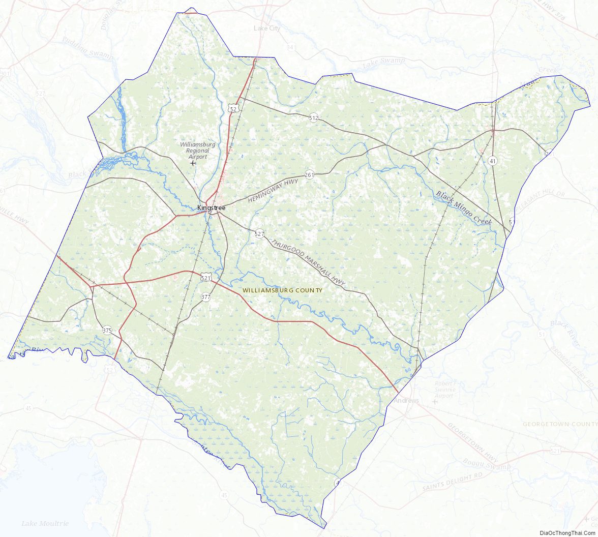
Williamsburg County Topographic Map
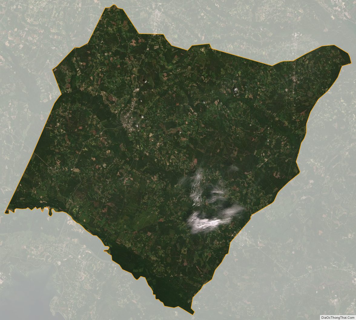
Williamsburg County Satellite Map
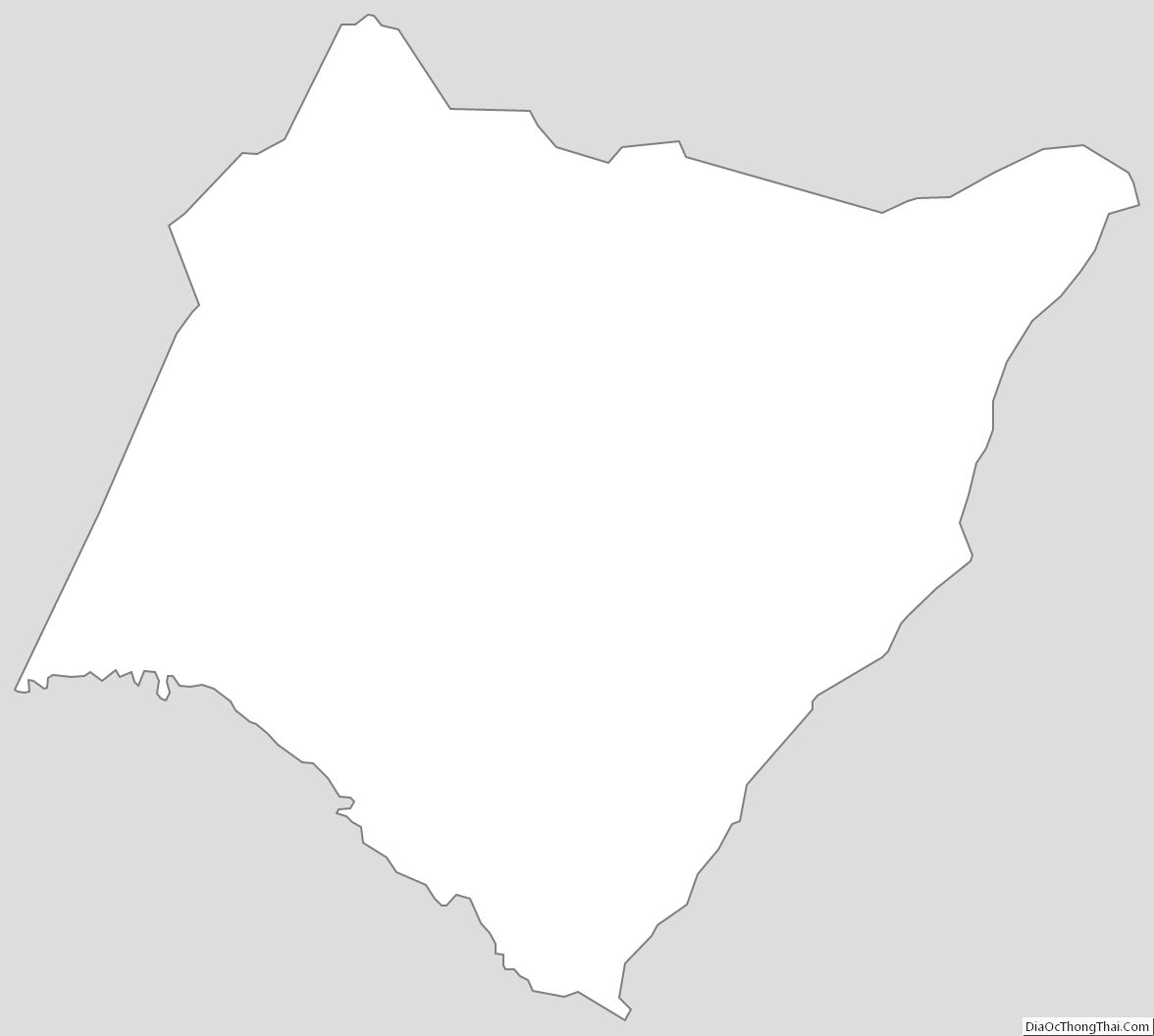
Williamsburg County Outline Map