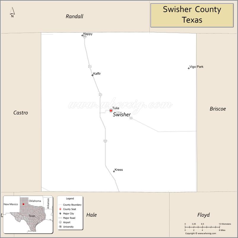
Swisher County is a county located in the U.S. state of Texas. As of the 2020 census, its population was 6,971. Its county seat is Tulia. The county was created in 1876 and later organized in 1890. It is named for James G. Swisher, a soldier of the Texas Revolution and signer of the Texas Declaration of Independence.
At one time, the large JA Ranch, founded by Charles Goodnight and John George Adair, and later owned by Goodnight and Cornelia Adair, reached into six counties, including Swisher.
| Name: | Swisher County |
|---|---|
| FIPS code: | 48-437 |
| State: | Texas |
| Founded: | 1890 |
| Named for: | James G. Swisher |
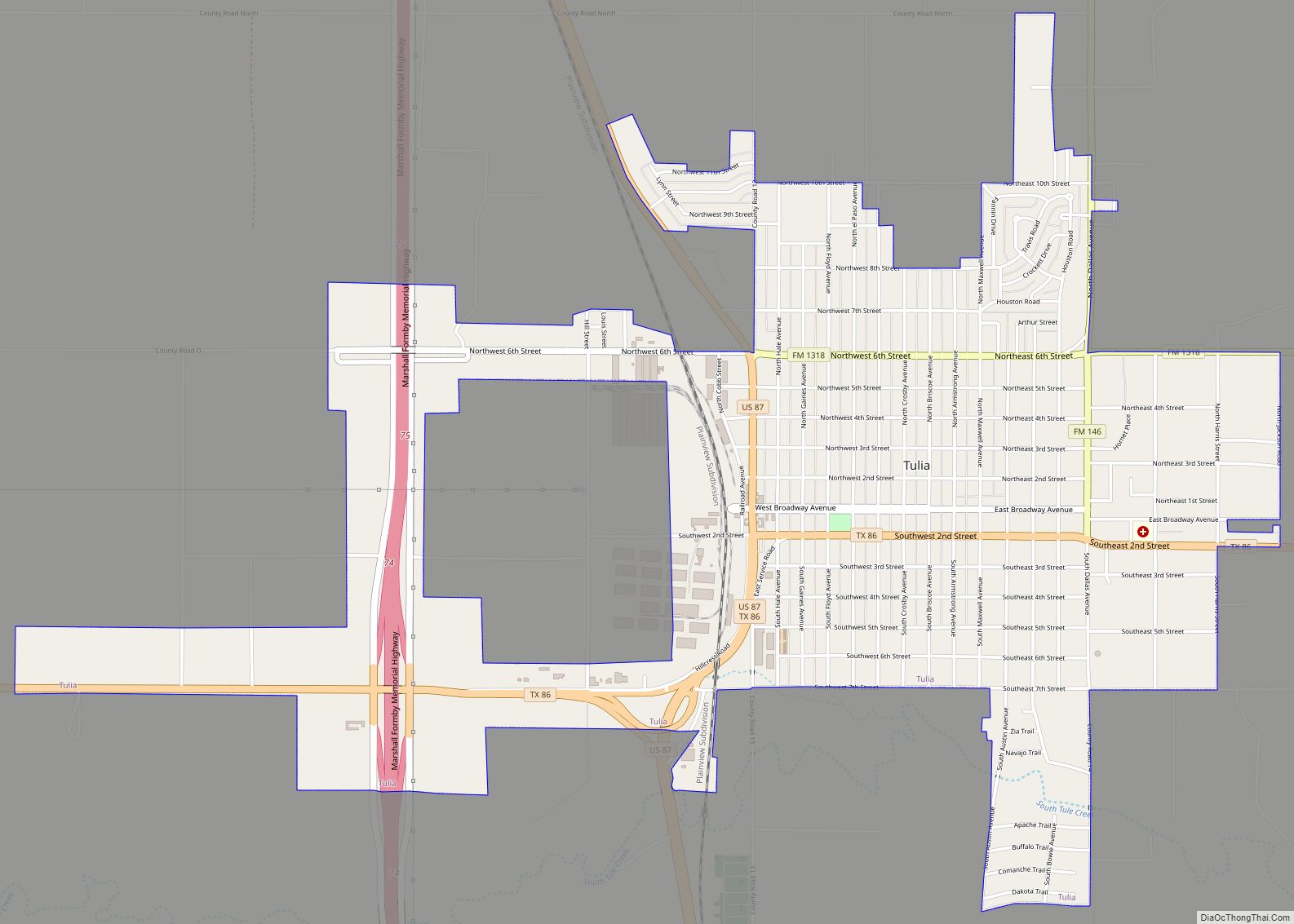
| Seat: | Tulia |
| Largest city: | Tulia |
| Total Area: | 901 sq mi (2,330 km²) |
| Land Area: | 890 sq mi (2,300 km²) |
| Total Population: | 6,971 |
| Population Density: | 7.7/sq mi (3.0/km²) |
| Time zone: | UTC−6 (Central) |
| Summer Time Zone (DST): | UTC−5 (CDT) |
| Website: | www.co.swisher.tx.us |
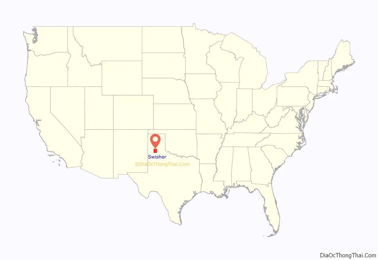
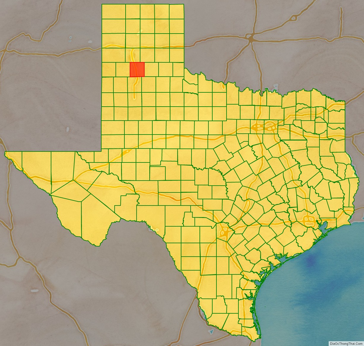
Swisher County location map. Where is Swisher County?
History
Native Americans
Apachean cultures roamed the county until Comanche dominated around 1700. The Comanches were defeated by the United States Army in the Red River War of 1874. No significant combat occurred in the county. After the 1874 battle of Palo Duro Canyon, Ranald S. Mackenzie ordered 1450 Indian horses shot. The Buffalo Hunters’ War of 1876 was an attempt by the Comanches to drive out the white man and stop depletion of their hunting grounds.
County established and growth
In 1876 the Texas state legislature carved Swisher County from Young and Bexar districts. The county was organized in 1880, and Tulia, became the county seat.
The area was by and large unsettled until the JA Ranch of Charles Goodnight came in 1883, which added the Tule Ranch.
Although settlers gradually arrived, the county was dominated by ranching the remainder of the 19th century. Good underground water at shallow depths gave to windmills that facilitated the stock-farmer.
In 1906, the Santa Fe Railroad branch line from Amarillo came through the county and later connected the county with Hale County, and with Lubbock by 1910, giving Swisher a major north–south rail line and boosting the economy.
The Great Depression had a devastating effect on the county’s economy, somewhat relieved by road work. The stimulus of World War II demand and, particularly, the development of large-scale irrigation in the area, led to the revival of the county’s economy.
The first successful extensive local use of underground water from the Ogallala Aquifer came in 1936. After World War II this activity increased dramatically; by the 1980s over 225,000 acres (910 km) in Swisher County were irrigated.
In 2002 the county had 578 farms and ranches covering 566,429 acres (2,292.26 km), 69 percent of which were devoted to crops and 30 percent to pasture.
The Ozark Trail
Rural Texas in the early 20th century was often connected by unpaved routes, often of caliche or other rock and dirt paths. Swisher’s road structure fell into this category. In 1920 the Ozark Trail served as a predecessor to today’s intra-continental highway structure. The Ozark Trail was a highway network maintained by local entities or private citizens from Arkansas and Missouri through Kansas, Oklahoma, Louisiana, and Texas, to New Mexico. In Texas the trail was made of graded and upgraded roads. Collingsworth, Childress, Hall, Briscoe, Swisher, Castro, and Parmer counties along with Curry and Roosevelt counties in New Mexico raised $10,000 in 1920 to erect markers along already existing roads to mark the Ozark Trail from Oklahoma across Texas to New Mexico. By the mid-1920s Tulia was linked to Nazareth, Dimmitt, and Bovina by State Highway 86, to Canyon and Amarillo by U.S. Highway 385 (now U.S. 87 or Interstate Highway 27), to Silverton by State Highway 80, and to Plainview and Lubbock by U.S. 385.
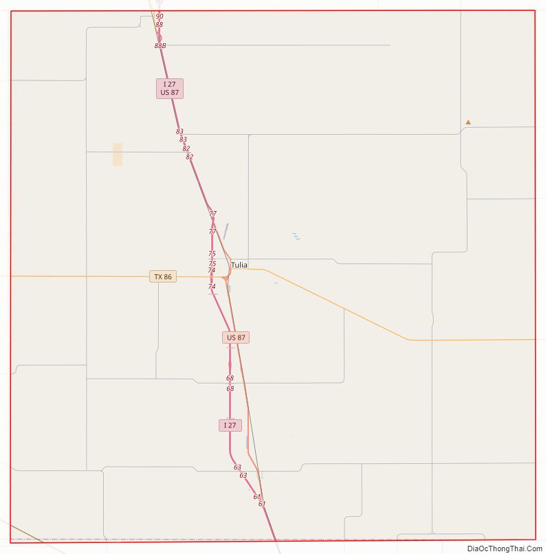
Swisher County Road Map
Geography
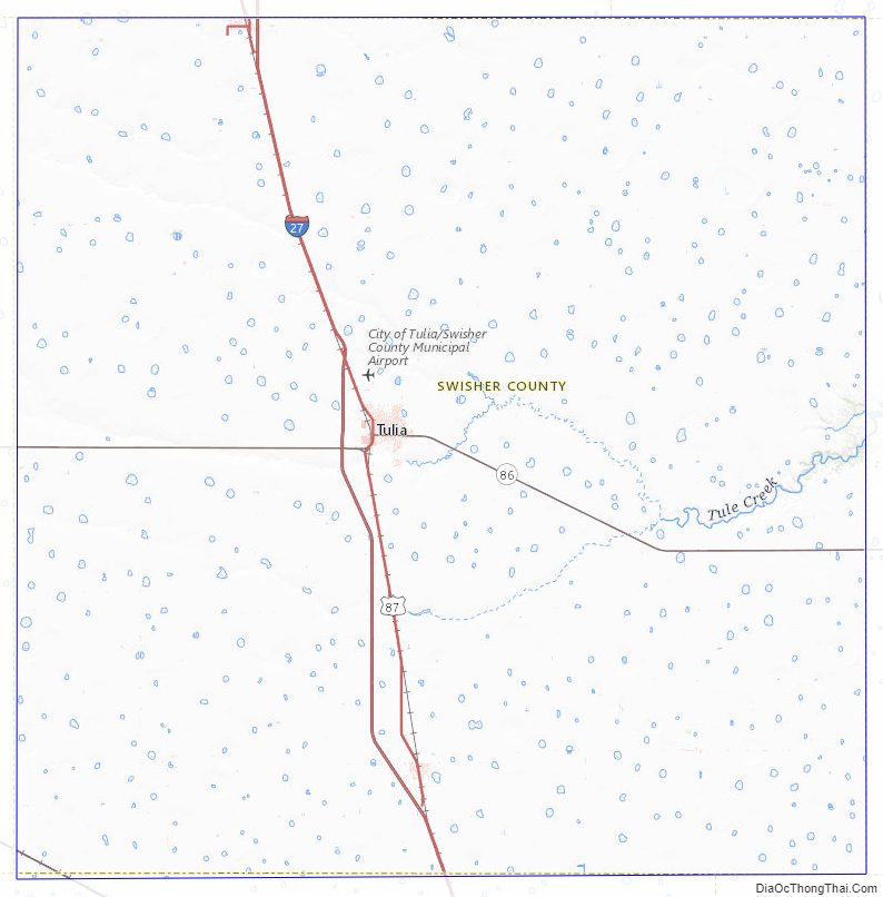
According to the U.S. Census Bureau, the county has a total area of 901 square miles (2,330 km), of which 890 square miles (2,300 km) is land and 11 square miles (28 km) (1.2%) is water.
Major highways
- Interstate 27
- U.S. Highway 87
- State Highway 86
Adjacent counties
- Randall County (north)
- Armstrong County (northeast)
- Briscoe County (east)
- Floyd County (southeast)
- Hale County (south)
- Castro County (west)
Swisher County Topographic Map
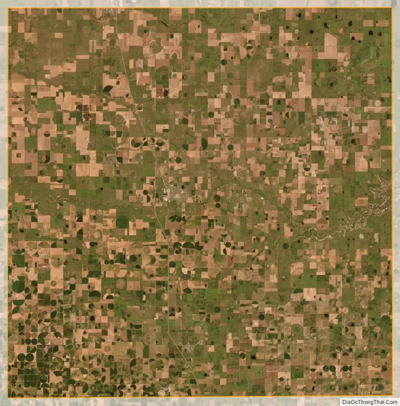
Swisher County Satellite Map
Swisher County Outline Map