Franklin County is a county located in the northeastern part of the U.S. state of Georgia. As of the 2020 census, the population was 23,424. The county seat is Carnesville. On February 25, 1784, Franklin and Washington became Georgia’s eighth and ninth counties, with Franklin named in honor of patriot Benjamin Franklin.
In its original form, Franklin County included all of the territory now in Banks, Barrow, Clarke, Jackson, Oconee, and Stephens counties, and parts of the modern-day Gwinnett, Hall, Hart, and Madison counties, as well as three counties that are now part of South Carolina. Franklin County has several miles of shoreline on Lake Hartwell.
| Name: | Franklin County |
|---|---|
| FIPS code: | 13-119 |
| State: | Georgia |
| Founded: | 1784 |
| Named for: | Benjamin Franklin |
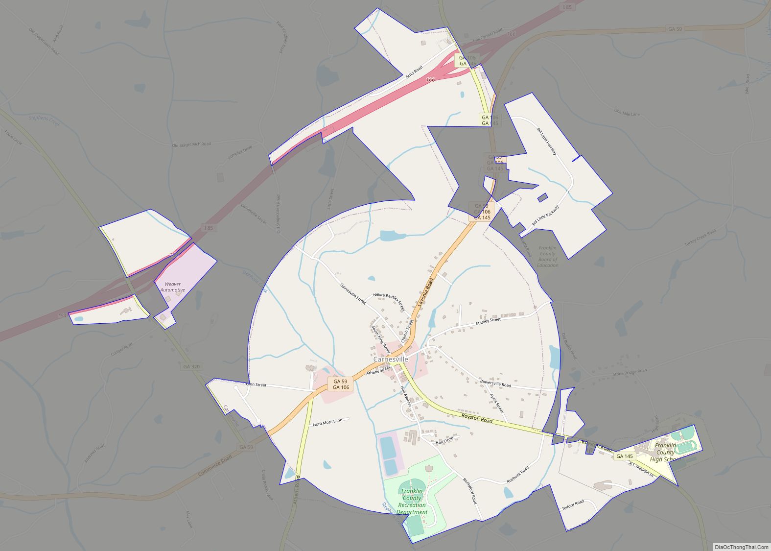
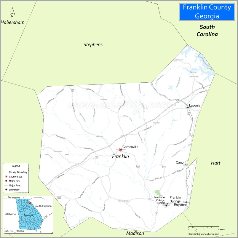
| Seat: | Carnesville |
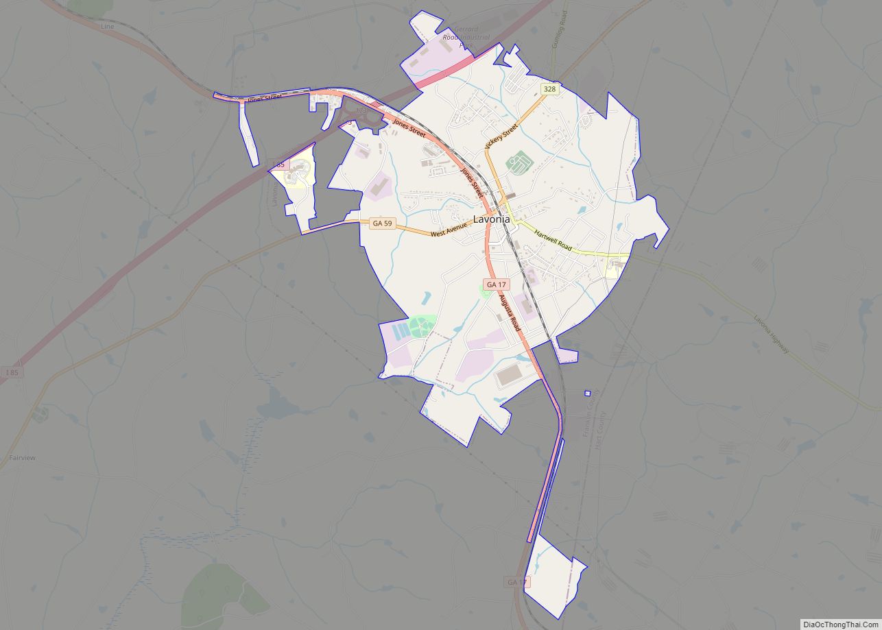
| Largest city: | Lavonia |
| Total Area: | 266 sq mi (690 km²) |
| Land Area: | 261 sq mi (680 km²) |
| Total Population: | 23,424 |
| Population Density: | 90/sq mi (30/km²) |
| Time zone: | UTC−5 (Eastern) |
| Summer Time Zone (DST): | UTC−4 (EDT) |
| Website: | www.franklincountyga.gov |
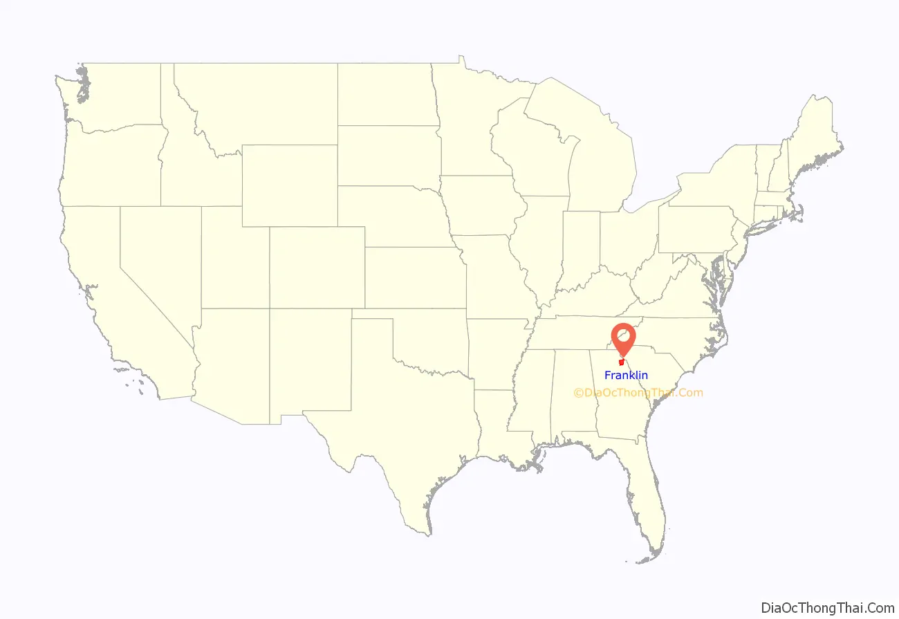
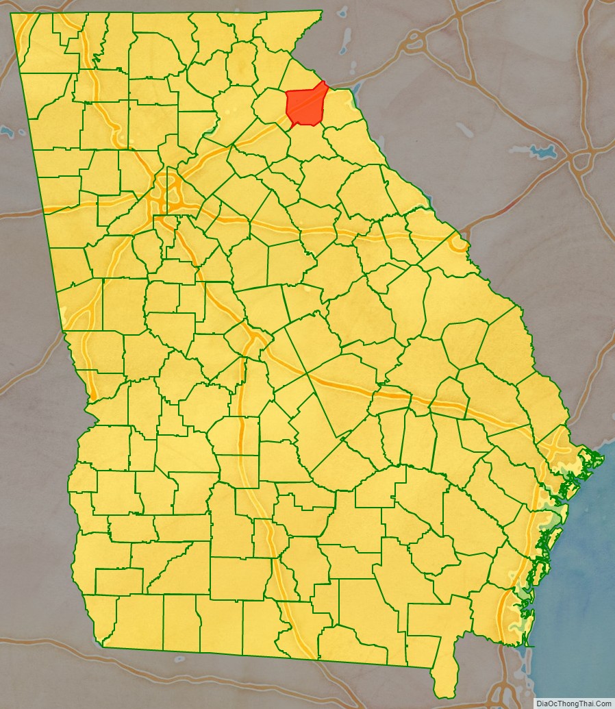
Franklin County location map. Where is Franklin County?
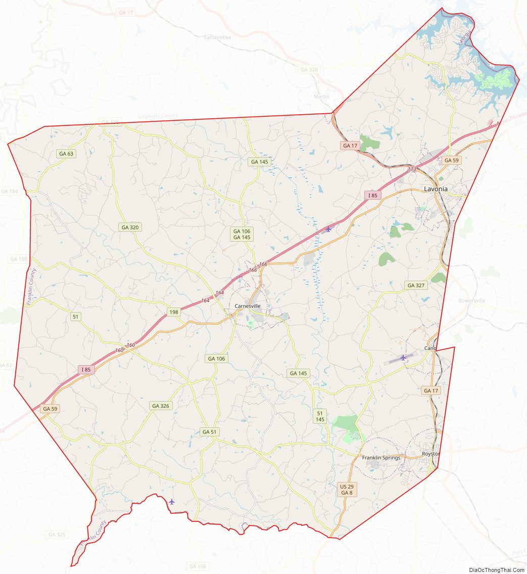
Franklin County Road Map
Geography
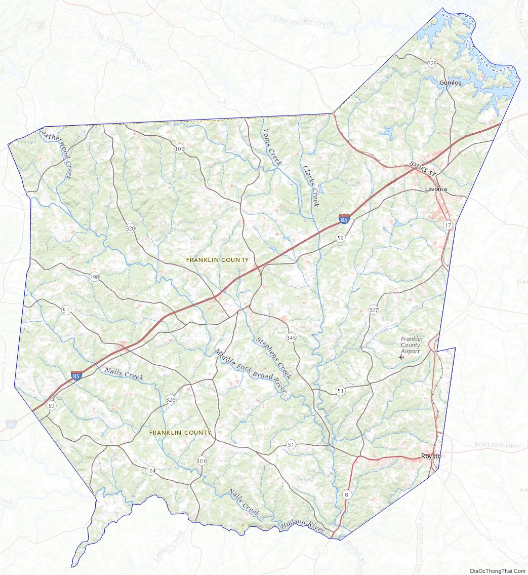
According to the U.S. Census Bureau, the county has a total area of 266 square miles (690 km), of which 261 square miles (680 km) is land and 5.0 square miles (13 km) (1.9%) is water. The county is located in the Piedmont region of the state.
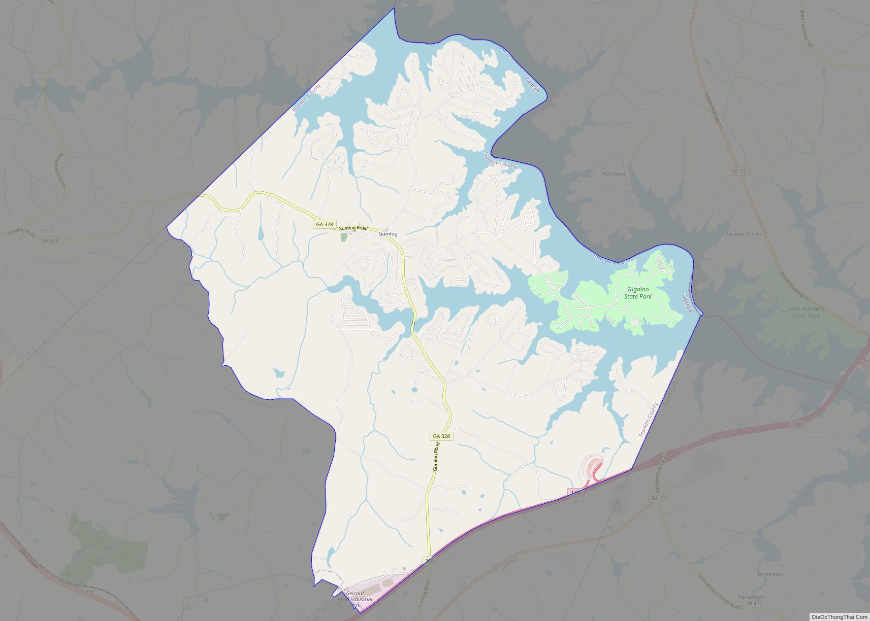
The majority of Franklin County is located in the Broad River sub-basin of the Savannah River basin, with just the northeastern corner, north of Lavonia, located in the Tugaloo River sub-basin of the same Savannah River basin. Franklin County is also located on Lake Hartwell.
Adjacent counties
- Stephens County (north)
- Oconee County, South Carolina (northeast)
- Hart County (east)
- Elbert County (southeast)
- Madison County (south)
- Banks County (west)
Franklin County Topographic Map
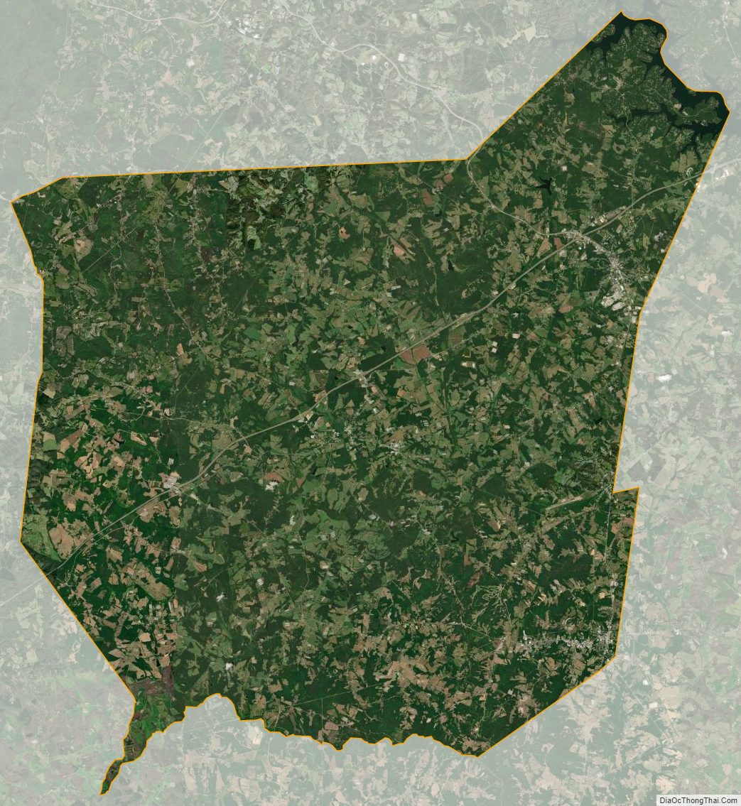
Franklin County Satellite Map
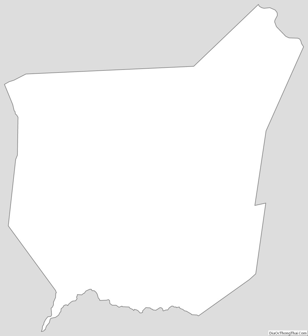
Franklin County Outline Map